Distance between  Presteigne and
  Ewloe
Ewloe
63.35 mi Straight Distance
83.01 mi Driving Distance
1 hour 41 mins Estimated Driving Time
The straight distance between Presteigne (Wales) and Ewloe (Wales) is 63.35 mi, but the driving distance is 83.01 mi.
It takes to go from Presteigne to Ewloe.
Driving directions from Presteigne to Ewloe
Distance in kilometers
Straight distance: 101.93 km. Route distance: 133.56 km
Presteigne, United Kingdom
Latitude: 52.272 // Longitude: -3.00516
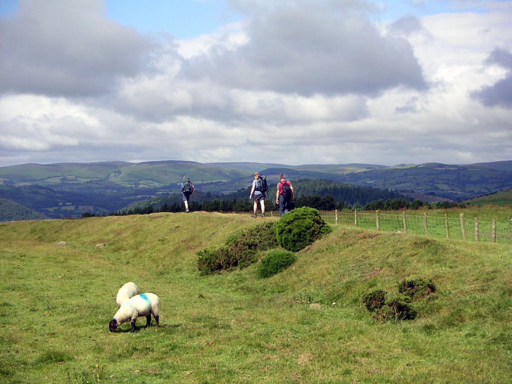
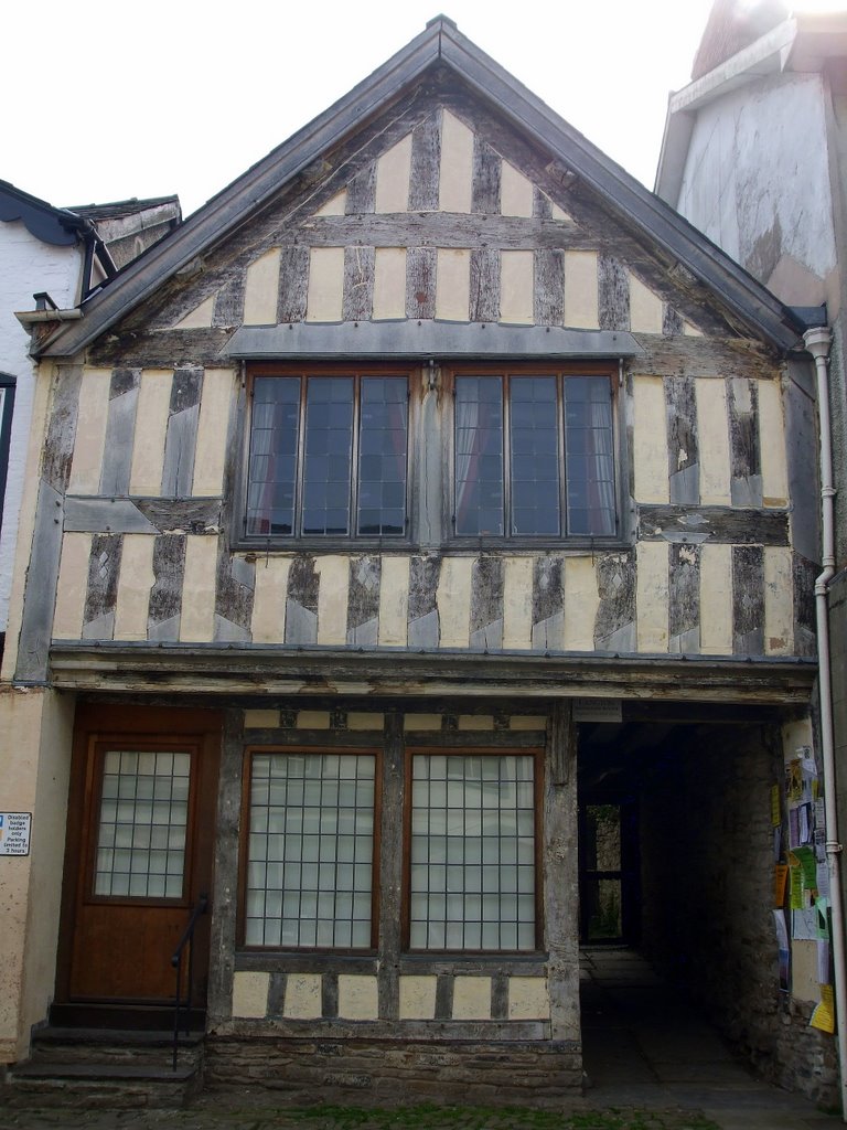
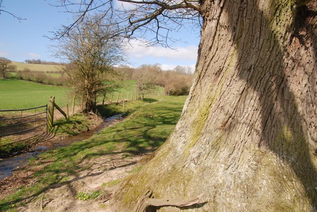
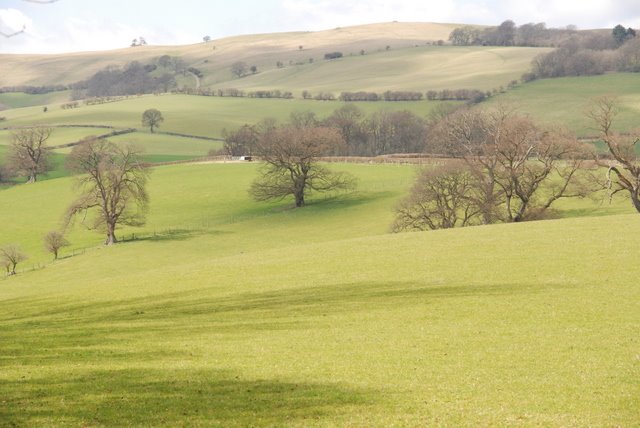
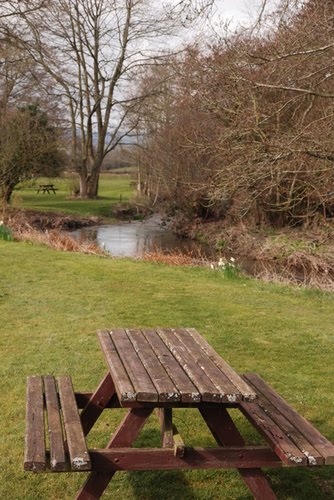
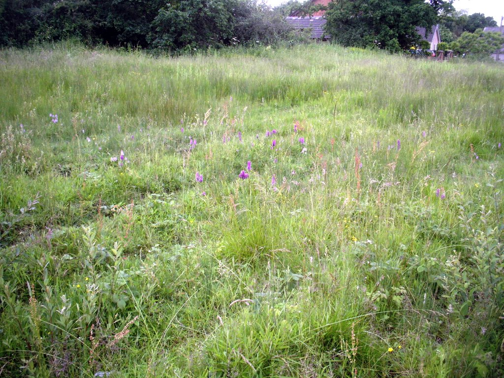
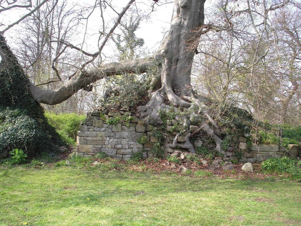
Photos of Presteigne
Presteigne Weather

Predicción: Clear sky
Temperatura: 4.3°
Humedad: 82%
Hora actual: 12:37 AM
Amanece: 06:07 AM
Anochece: 08:14 PM
Ewloe, United Kingdom
Latitude: 53.1885 // Longitude: -3.04827
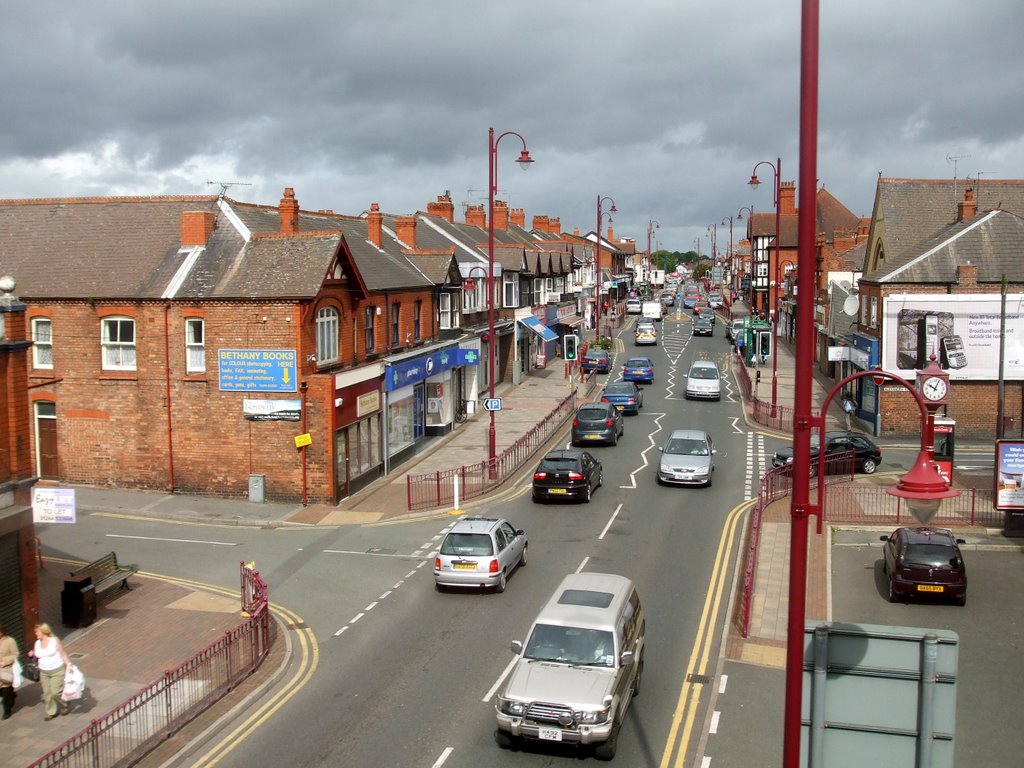
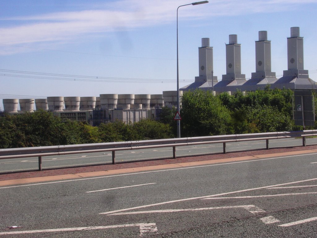
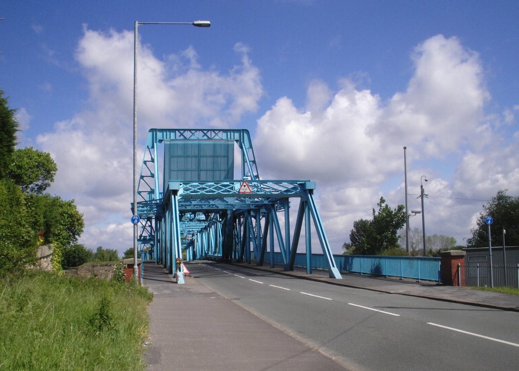
Photos of Ewloe
Ewloe Weather

Predicción: Few clouds
Temperatura: 7.1°
Humedad: 80%
Hora actual: 12:37 AM
Amanece: 06:05 AM
Anochece: 08:17 PM


