Distance between  Portishead and North Weston and
  Oswestry
96.09 mi Straight Distance
132.86 mi Driving Distance
2 hours 16 mins Estimated Driving Time
The straight distance between Portishead and North Weston (England) and Oswestry (England) is 96.09 mi, but the driving distance is 132.86 mi.
It takes 2 hours 40 mins to go from Portishead and North Weston to Oswestry.
Driving directions from Portishead and North Weston to Oswestry
Distance in kilometers
Straight distance: 154.62 km. Route distance: 213.78 km
Portishead and North Weston, United Kingdom
Latitude: 51.4769 // Longitude: -2.77715
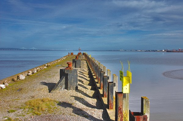
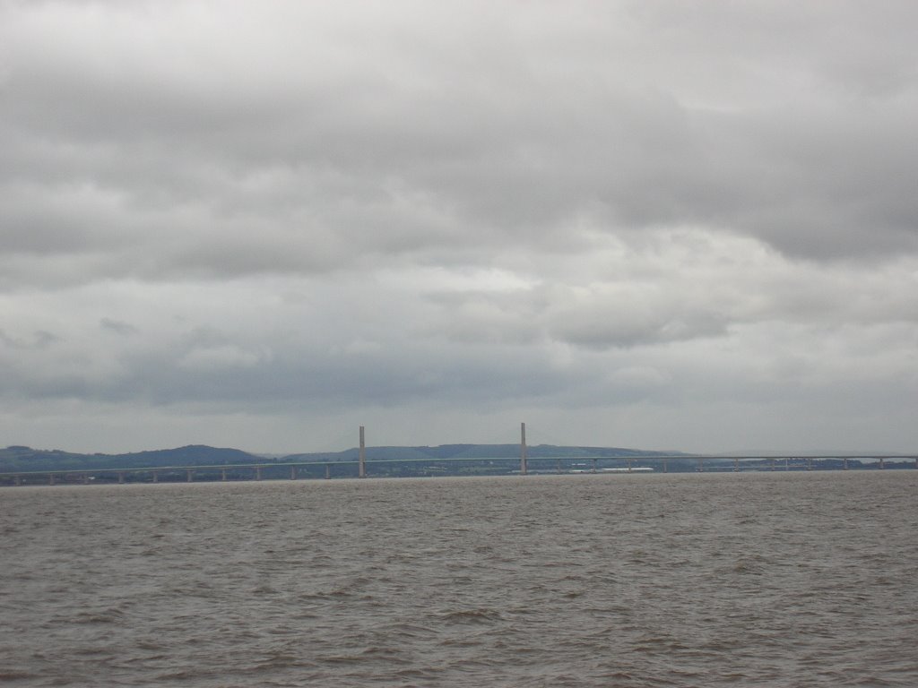
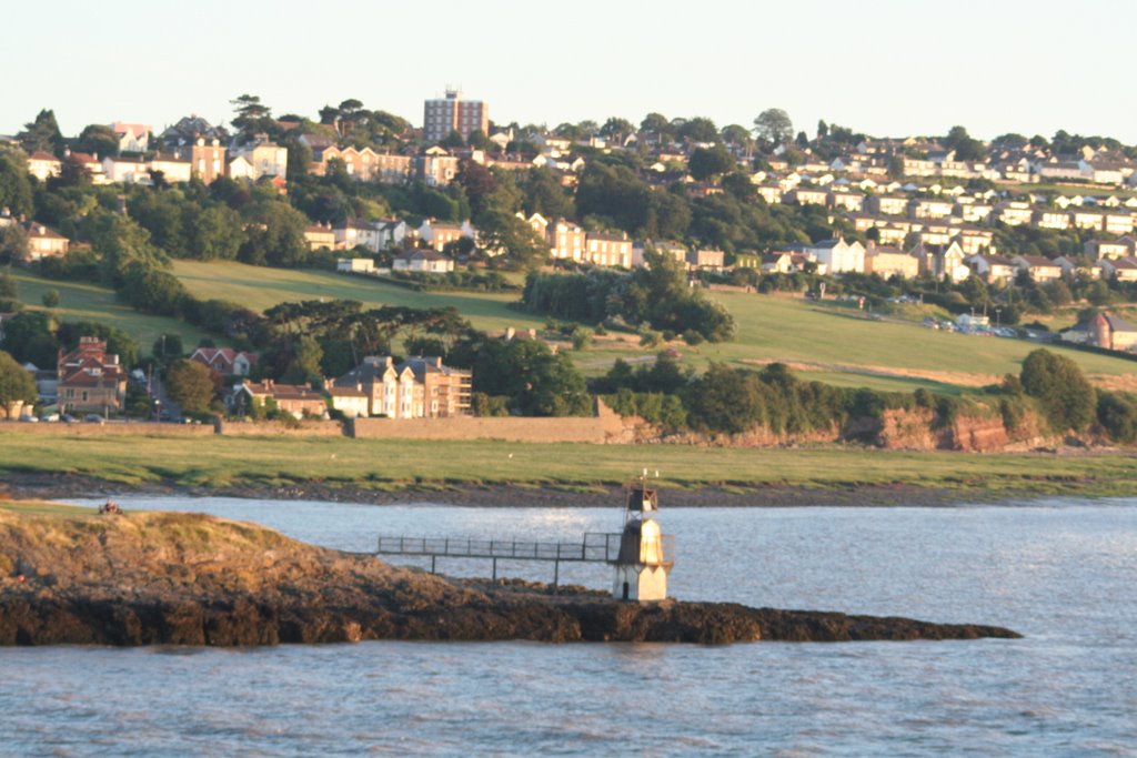
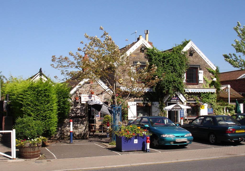
Photos of Portishead and North Weston
Portishead and North Weston Weather

Predicción: Scattered clouds
Temperatura: 11.8°
Humedad: 59%
Hora actual: 01:23 PM
Amanece: 06:06 AM
Anochece: 08:13 PM
Oswestry, United Kingdom
Latitude: 52.8571 // Longitude: -3.05641
Photos of Oswestry
Oswestry Weather

Predicción: Overcast clouds
Temperatura: 10.6°
Humedad: 68%
Hora actual: 01:23 PM
Amanece: 06:04 AM
Anochece: 08:18 PM


