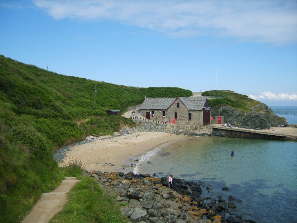
Distance between  Port Talbot and
  Nefyn
Nefyn
97.74 mi Straight Distance
165.82 mi Driving Distance
3 hours 19 mins Estimated Driving Time
The straight distance between Port Talbot (Wales) and Nefyn (Wales) is 97.74 mi, but the driving distance is 165.82 mi.
It takes 3 hours 58 mins to go from Port Talbot to Nefyn.
Driving directions from Port Talbot to Nefyn
Distance in kilometers
Straight distance: 157.26 km. Route distance: 266.81 km
Port Talbot, United Kingdom
Latitude: 51.5947 // Longitude: -3.7841
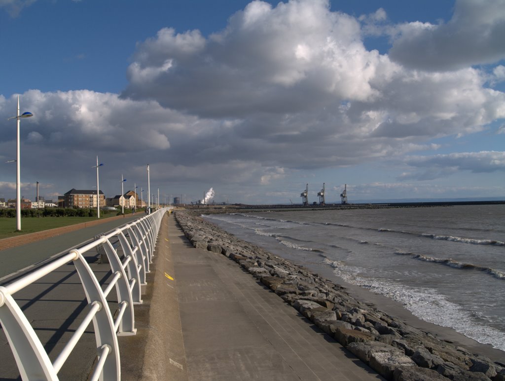
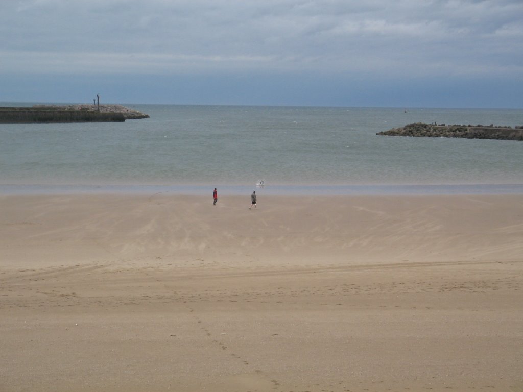
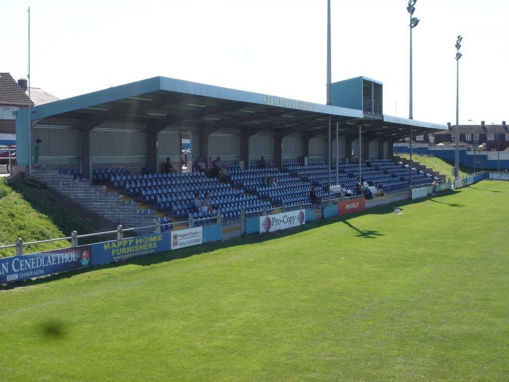
Photos of Port Talbot
Port Talbot Weather

Predicción: Few clouds
Temperatura: 11.8°
Humedad: 58%
Hora actual: 06:23 PM
Amanece: 06:14 AM
Anochece: 08:14 PM
Nefyn, United Kingdom
Latitude: 52.9357 // Longitude: -4.52011
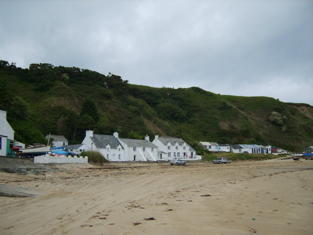
Photos of Nefyn
Nefyn Weather

Predicción: Clear sky
Temperatura: 10.8°
Humedad: 68%
Hora actual: 06:23 PM
Amanece: 06:14 AM
Anochece: 08:20 PM


