Distance between  Port Ellen and
  Oban
Oban
60.96 mi Straight Distance
103.99 mi Driving Distance
3 hours 45 mins Estimated Driving Time
The straight distance between Port Ellen (Scotland) and Oban (Scotland) is 60.96 mi, but the driving distance is 103.99 mi.
It takes 4 hours 15 mins to go from Port Ellen to Oban.
Driving directions from Port Ellen to Oban
Distance in kilometers
Straight distance: 98.08 km. Route distance: 167.33 km
Port Ellen, United Kingdom
Latitude: 55.6294 // Longitude: -6.18889
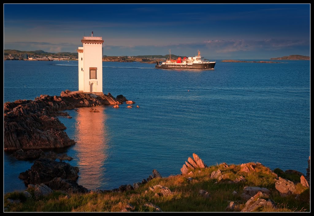
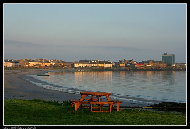
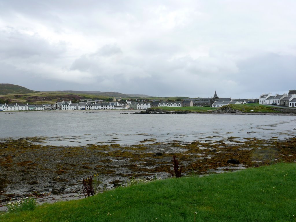
Photos of Port Ellen
Port Ellen Weather

Predicción: Overcast clouds
Temperatura: 9.8°
Humedad: 80%
Hora actual: 12:29 AM
Amanece: 06:07 AM
Anochece: 08:40 PM
Oban, United Kingdom
Latitude: 56.4152 // Longitude: -5.47105
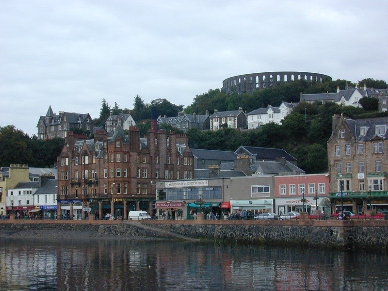
Photos of Oban
Oban Weather

Predicción: Broken clouds
Temperatura: 9.0°
Humedad: 81%
Hora actual: 12:29 AM
Amanece: 06:02 AM
Anochece: 08:39 PM


