Distance between  Otley and
  Minster
217.69 mi Straight Distance
282.19 mi Driving Distance
4 hours 19 mins Estimated Driving Time
The straight distance between Otley (England) and Minster (England) is 217.69 mi, but the driving distance is 282.19 mi.
It takes to go from Otley to Minster.
Driving directions from Otley to Minster
Distance in kilometers
Straight distance: 350.27 km. Route distance: 454.04 km
Otley, United Kingdom
Latitude: 53.9058 // Longitude: -1.69179
Photos of Otley
Otley Weather

Predicción: Moderate rain
Temperatura: 8.8°
Humedad: 65%
Hora actual: 08:06 PM
Amanece: 06:00 AM
Anochece: 08:11 PM
Minster, United Kingdom
Latitude: 51.3367 // Longitude: 1.31444
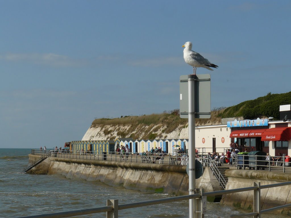
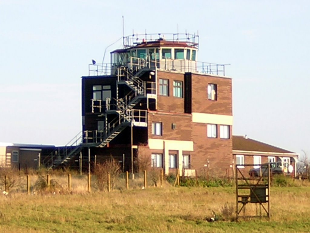
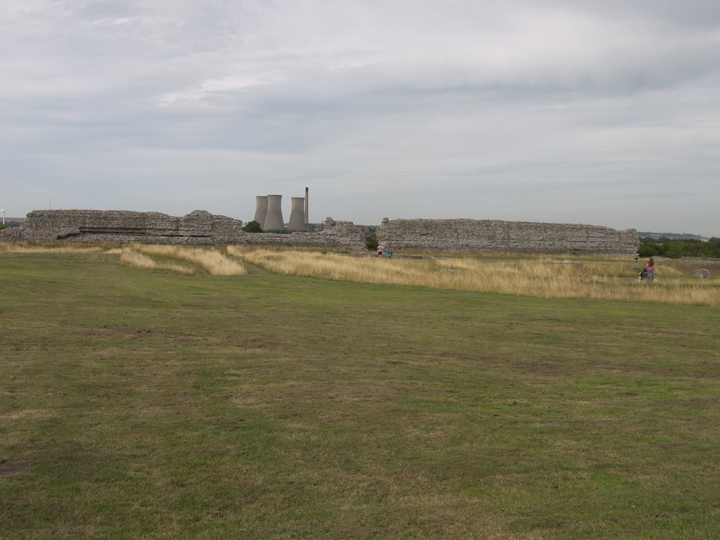
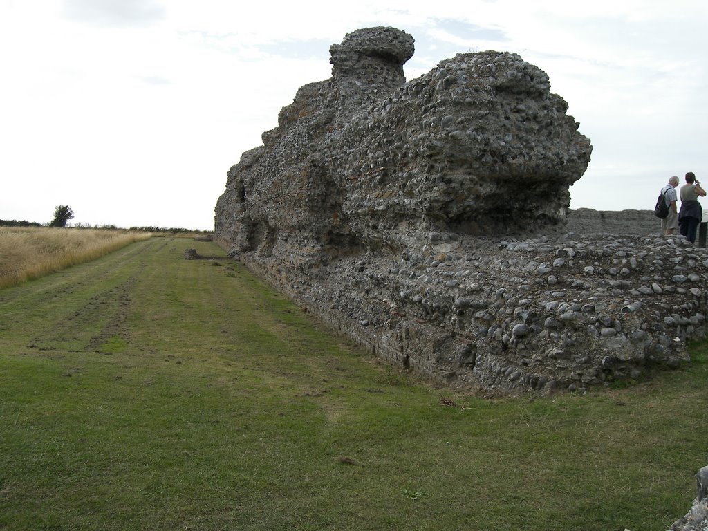
Photos of Minster
Minster Weather

Predicción: Overcast clouds
Temperatura: 8.5°
Humedad: 77%
Hora actual: 08:06 PM
Amanece: 05:54 AM
Anochece: 07:53 PM


