Distance between  Ongar and
  Middlesbrough
207.48 mi Straight Distance
243.61 mi Driving Distance
3 hours 42 mins Estimated Driving Time
The straight distance between Ongar (England) and Middlesbrough (England) is 207.48 mi, but the driving distance is 243.61 mi.
It takes 3 hours 52 mins to go from Ongar to Middlesbrough.
Driving directions from Ongar to Middlesbrough
Distance in kilometers
Straight distance: 333.83 km. Route distance: 391.97 km
Ongar, United Kingdom
Latitude: 51.7067 // Longitude: 0.252139
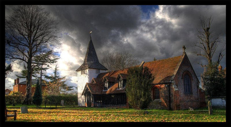
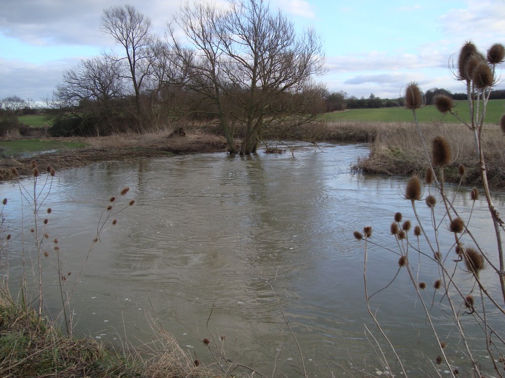
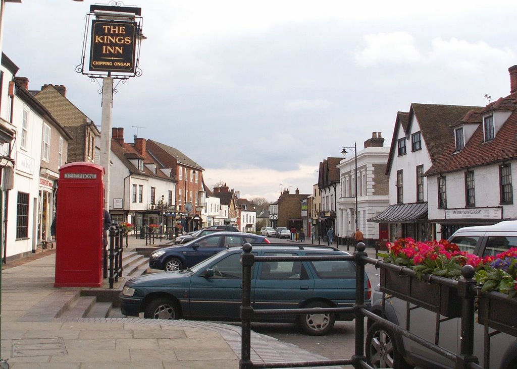
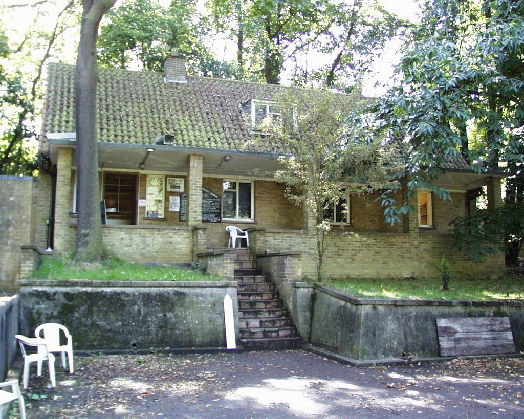
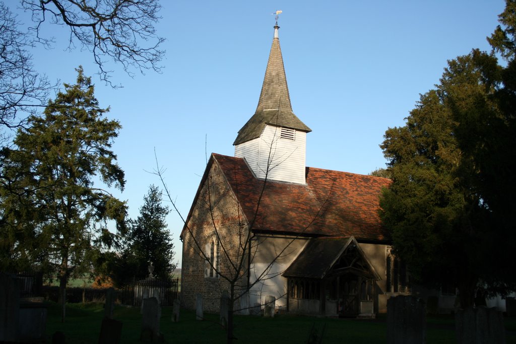
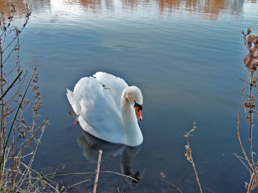
Photos of Ongar
Ongar Weather

Predicción: Light rain
Temperatura: 11.6°
Humedad: 52%
Hora actual: 07:19 PM
Amanece: 05:53 AM
Anochece: 08:02 PM
Middlesbrough, United Kingdom
Latitude: 54.5742 // Longitude: -1.23496
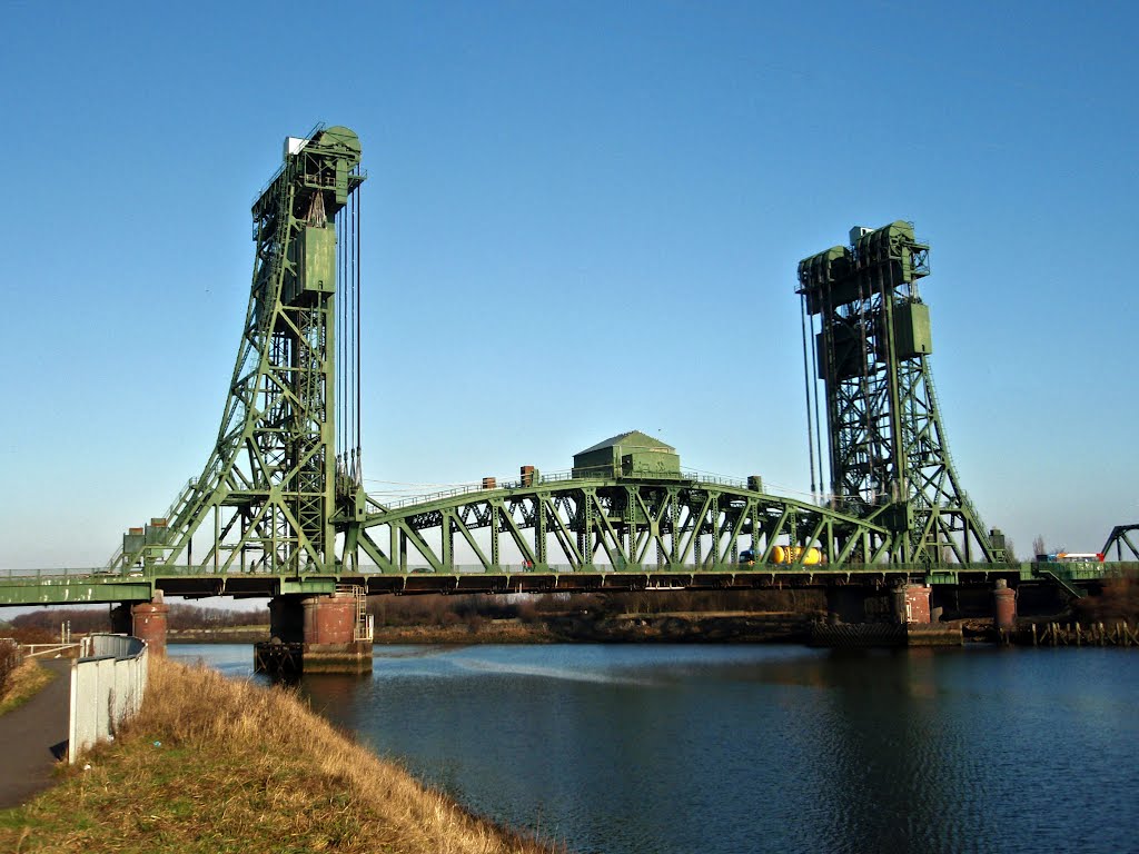
Photos of Middlesbrough
Middlesbrough Weather

Predicción: Light rain
Temperatura: 9.6°
Humedad: 81%
Hora actual: 07:19 PM
Amanece: 05:52 AM
Anochece: 08:15 PM


