Distance between  Newtown and
  Llandudno
60.06 mi Straight Distance
92.12 mi Driving Distance
1 hour 39 mins Estimated Driving Time
The straight distance between Newtown (Wales) and Llandudno (Wales) is 60.06 mi, but the driving distance is 92.12 mi.
It takes 2 hours 0 mins to go from Newtown to Llandudno.
Driving directions from Newtown to Llandudno
Distance in kilometers
Straight distance: 96.63 km. Route distance: 148.22 km
Newtown, United Kingdom
Latitude: 52.5121 // Longitude: -3.31311
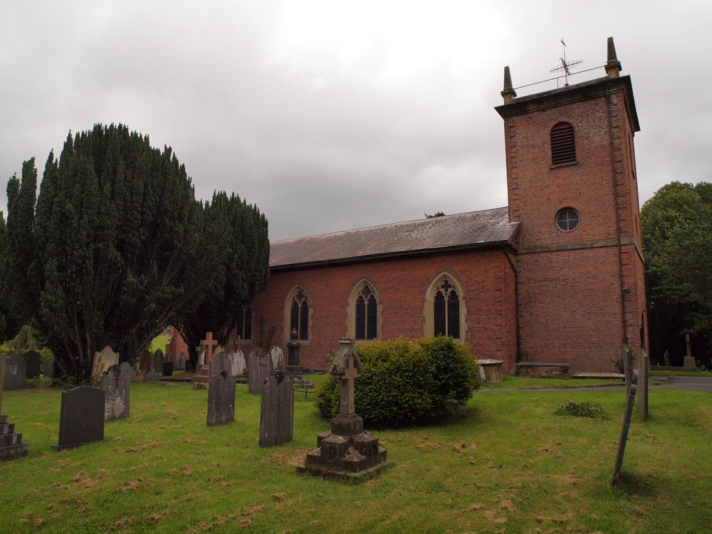
Photos of Newtown
Newtown Weather

Predicción: Overcast clouds
Temperatura: 10.2°
Humedad: 73%
Hora actual: 11:18 AM
Amanece: 06:10 AM
Anochece: 08:14 PM
Llandudno, United Kingdom
Latitude: 53.3241 // Longitude: -3.82761
Photos of Llandudno
Llandudno Weather

Predicción: Scattered clouds
Temperatura: 8.9°
Humedad: 43%
Hora actual: 11:18 AM
Amanece: 06:10 AM
Anochece: 08:18 PM


