Distance between  Newry and
  Mountfield
46.33 mi Straight Distance
54.53 mi Driving Distance
1 hours 0 mins Estimated Driving Time
The straight distance between Newry (Northern Ireland) and Mountfield (Northern Ireland) is 46.33 mi, but the driving distance is 54.53 mi.
It takes 9 hours 59 mins to go from Newry to Mountfield.
Driving directions from Newry to Mountfield
Distance in kilometers
Straight distance: 74.55 km. Route distance: 87.74 km
Newry, United Kingdom
Latitude: 54.1801 // Longitude: -6.33393
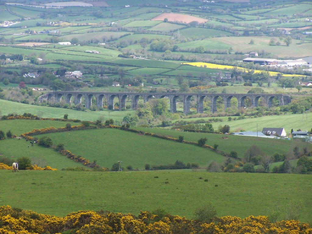
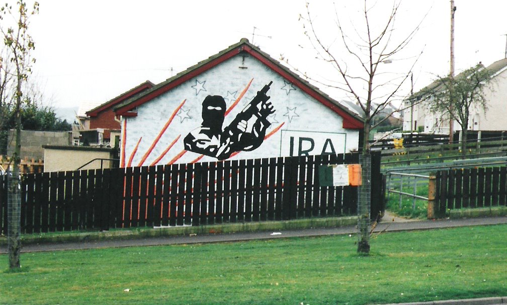
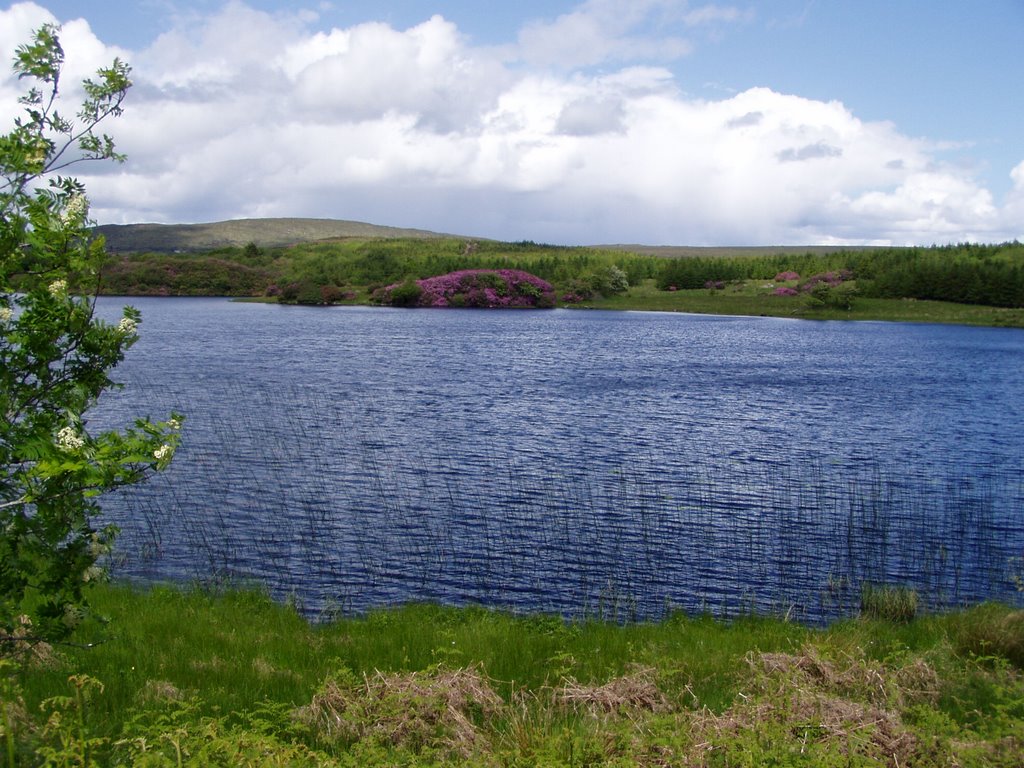
Photos of Newry
Newry Weather

Predicción: Broken clouds
Temperatura: 4.5°
Humedad: 92%
Hora actual: 06:38 AM
Amanece: 06:14 AM
Anochece: 08:34 PM
Mountfield, United Kingdom
Latitude: 54.645 // Longitude: -7.16443
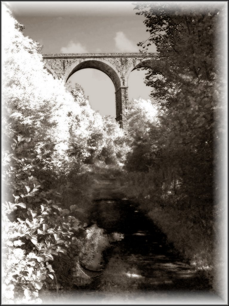
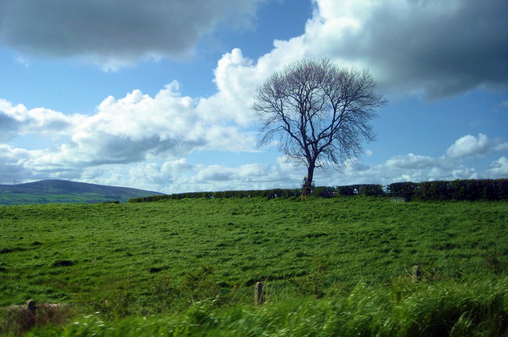
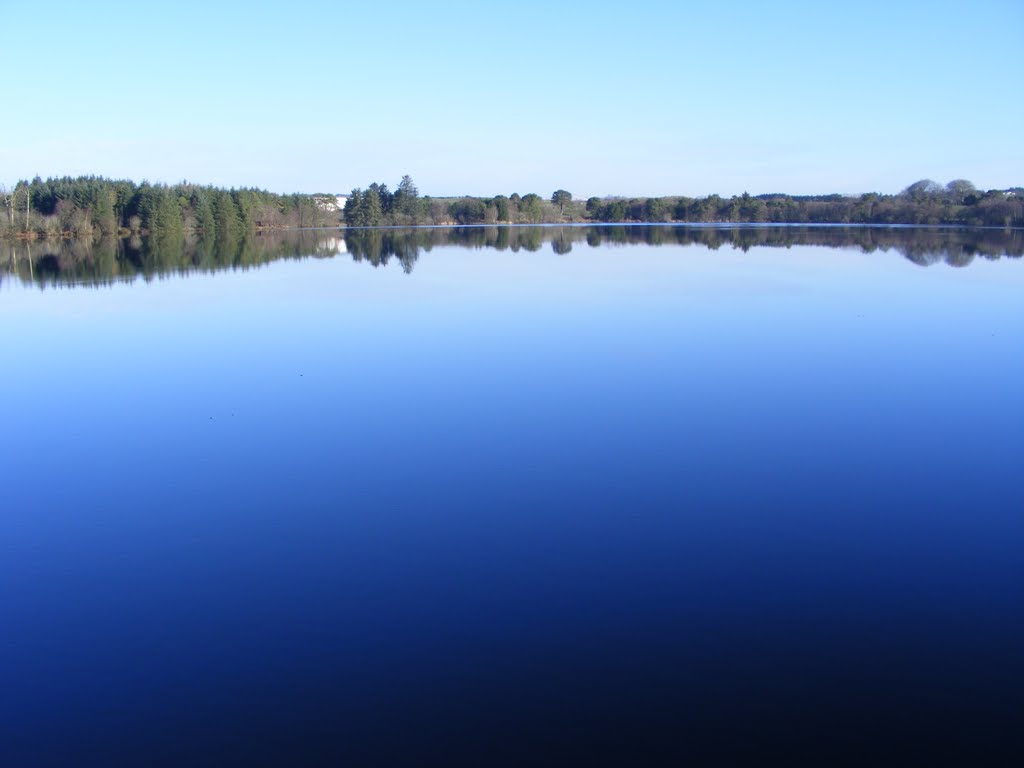
Photos of Mountfield
Mountfield Weather

Predicción: Overcast clouds
Temperatura: 5.9°
Humedad: 98%
Hora actual: 01:00 AM
Amanece: 06:16 AM
Anochece: 08:39 PM


