Distance between  Newbiggin-by-the-Sea and
  Matlock
141.53 mi Straight Distance
166.45 mi Driving Distance
2 hours 40 mins Estimated Driving Time
The straight distance between Newbiggin-by-the-Sea (England) and Matlock (England) is 141.53 mi, but the driving distance is 166.45 mi.
It takes to go from Newbiggin-by-the-Sea to Matlock.
Driving directions from Newbiggin-by-the-Sea to Matlock
Distance in kilometers
Straight distance: 227.73 km. Route distance: 267.81 km
Newbiggin-by-the-Sea, United Kingdom
Latitude: 55.1855 // Longitude: -1.51395
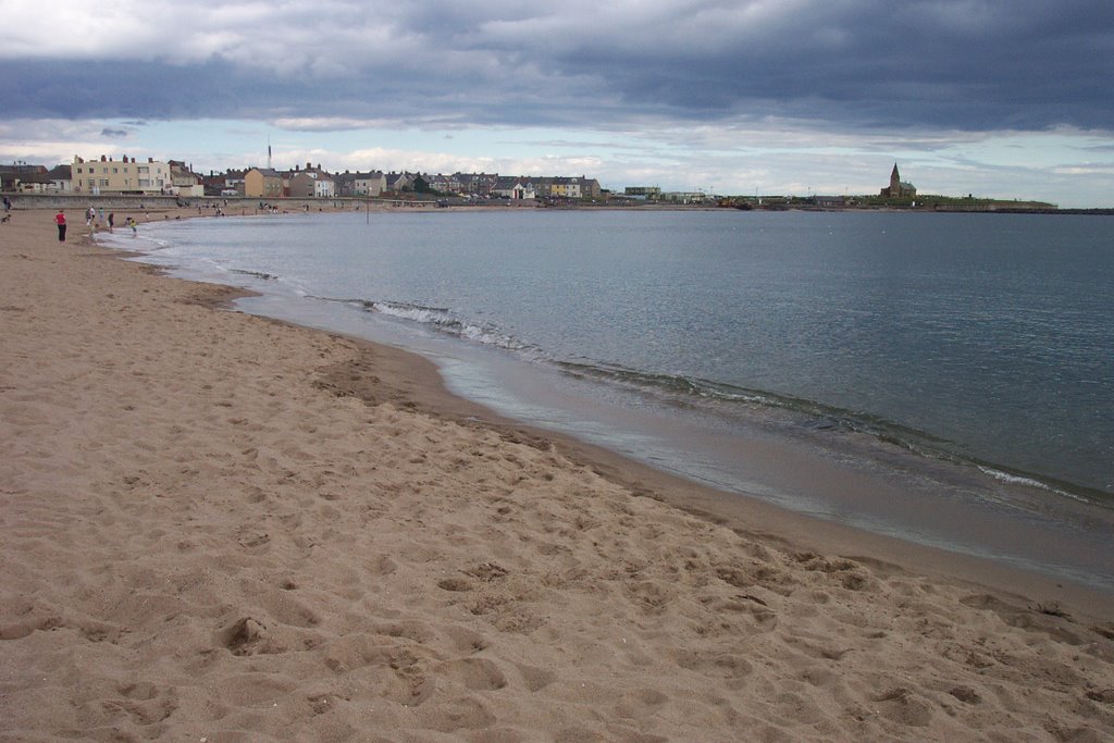
Photos of Newbiggin-by-the-Sea
Newbiggin-by-the-Sea Weather

Predicción: Moderate rain
Temperatura: 8.0°
Humedad: 82%
Hora actual: 02:00 PM
Amanece: 05:52 AM
Anochece: 08:18 PM
Matlock, United Kingdom
Latitude: 53.1372 // Longitude: -1.55177
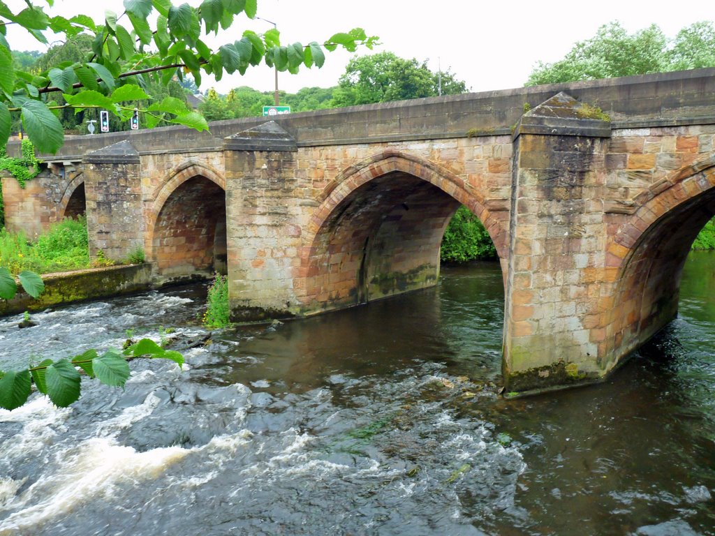
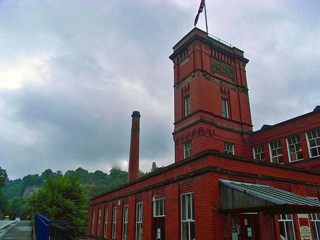
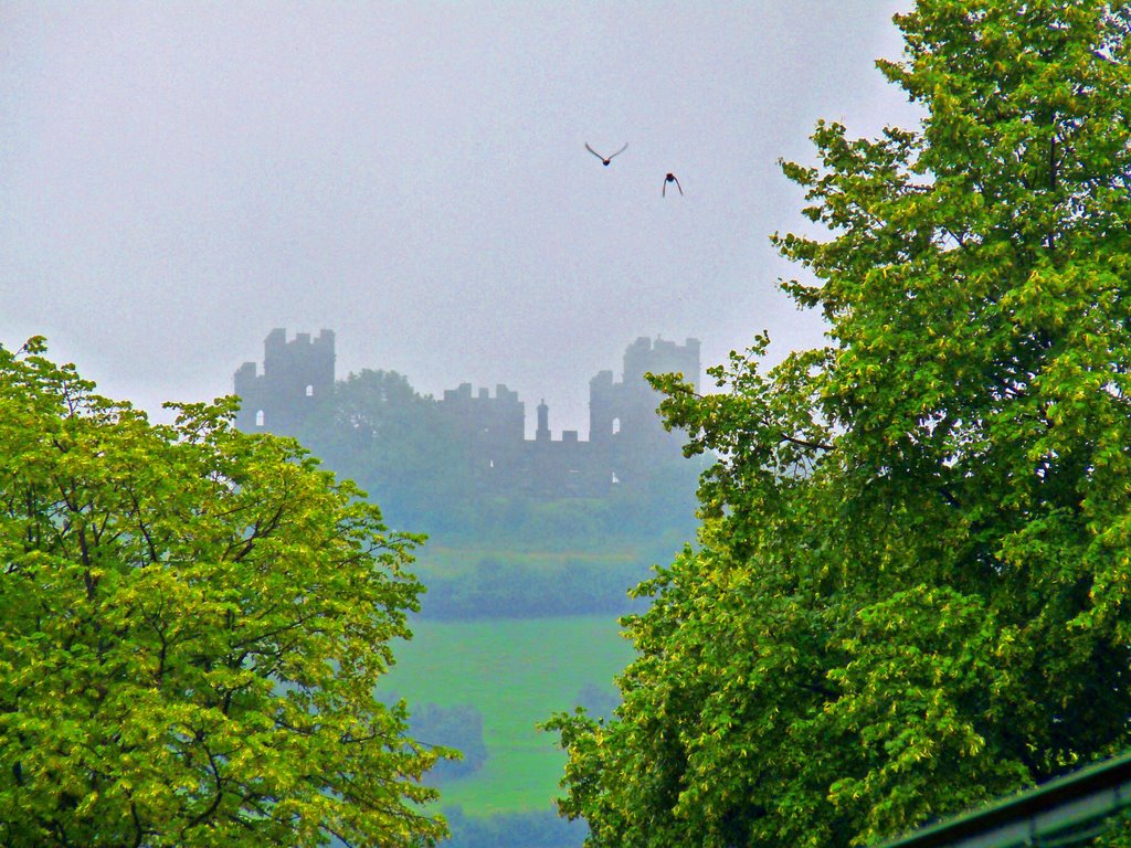
Photos of Matlock
Matlock Weather

Predicción: Overcast clouds
Temperatura: 10.9°
Humedad: 63%
Hora actual: 02:00 PM
Amanece: 05:57 AM
Anochece: 08:12 PM


