Distance between  New Romney and
  Neston
232.90 mi Straight Distance
291.52 mi Driving Distance
4 hours 24 mins Estimated Driving Time
The straight distance between New Romney (England) and Neston (England) is 232.90 mi, but the driving distance is 291.52 mi.
It takes 5 hours 3 mins to go from New Romney to Neston.
Driving directions from New Romney to Neston
Distance in kilometers
Straight distance: 374.73 km. Route distance: 469.05 km
New Romney, United Kingdom
Latitude: 50.9851 // Longitude: 0.939473
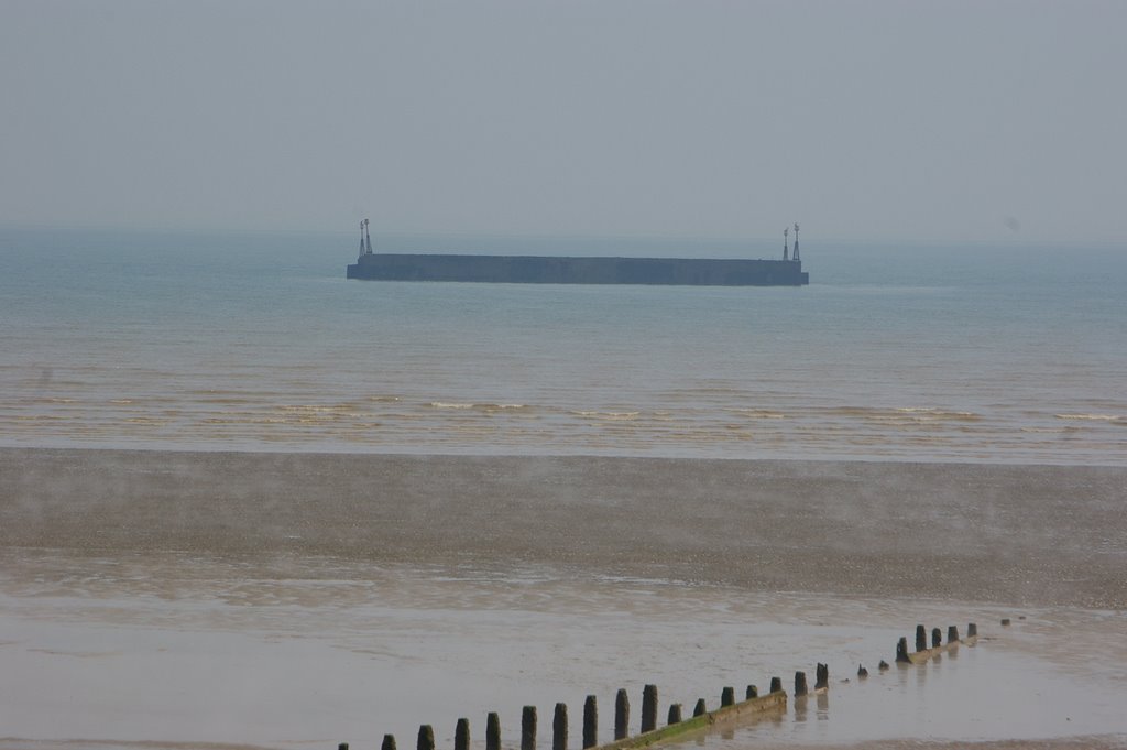
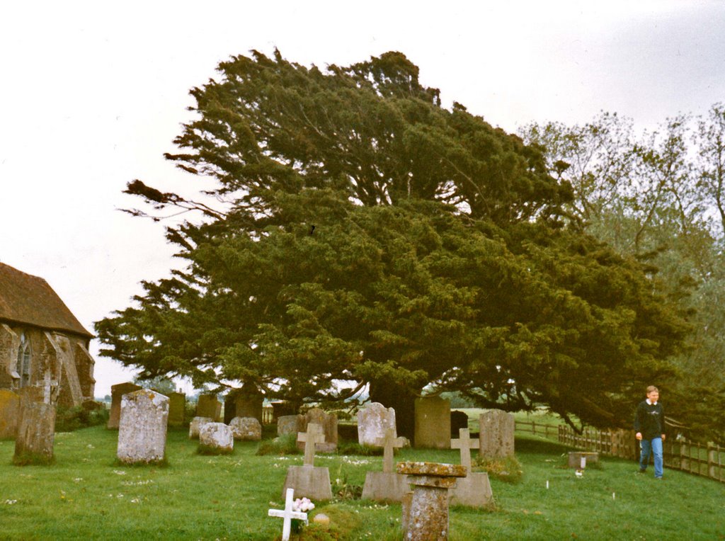
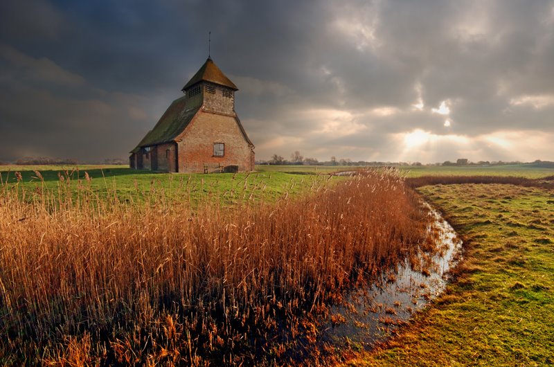
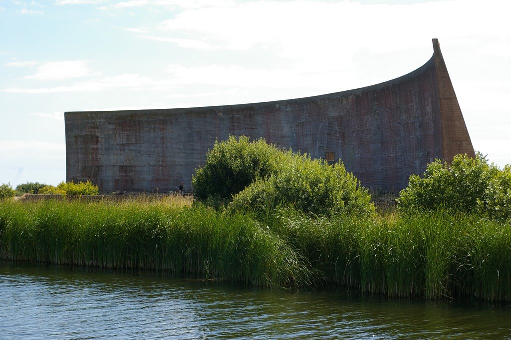
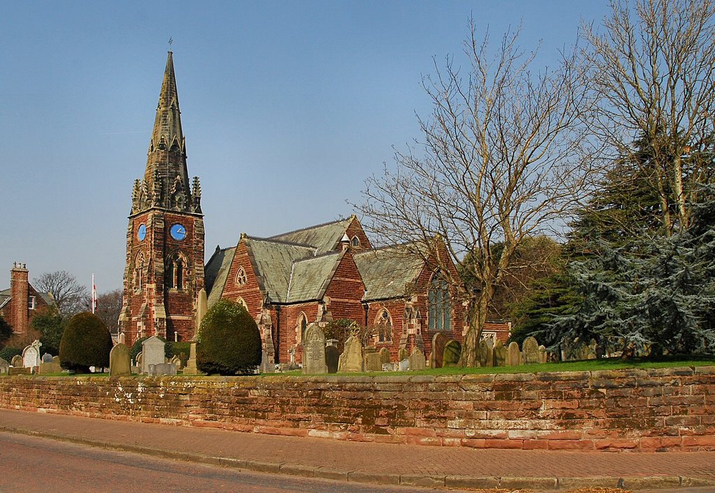
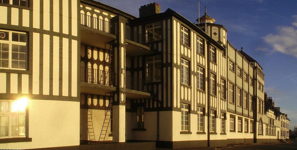
Photos of New Romney
New Romney Weather

Predicción: Scattered clouds
Temperatura: 13.0°
Humedad: 50%
Hora actual: 04:56 PM
Amanece: 05:56 AM
Anochece: 07:54 PM
Neston, United Kingdom
Latitude: 53.2906 // Longitude: -3.0691
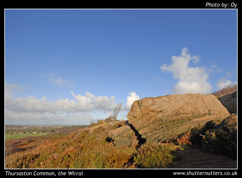
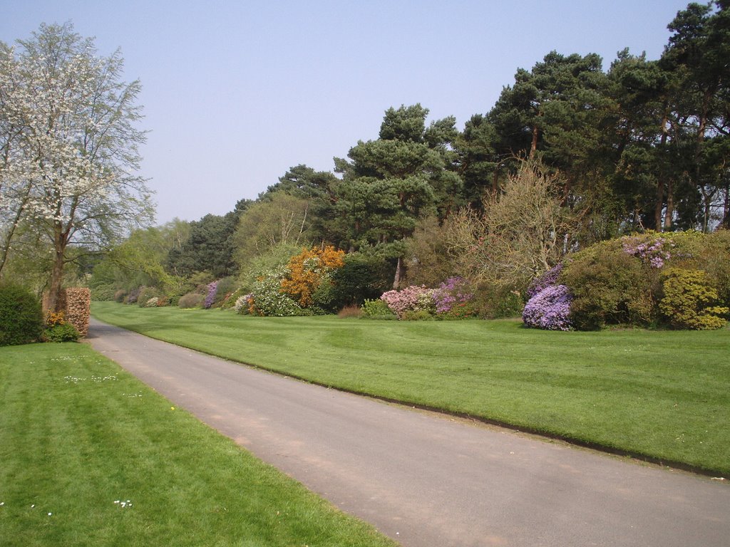
Photos of Neston
Neston Weather

Predicción: Scattered clouds
Temperatura: 11.1°
Humedad: 66%
Hora actual: 04:56 PM
Amanece: 06:07 AM
Anochece: 08:15 PM


