Distance between  Nefyn and
  Colwyn Bay
41.11 mi Straight Distance
48.12 mi Driving Distance
58 minutes Estimated Driving Time
The straight distance between Nefyn (Wales) and Colwyn Bay (Wales) is 41.11 mi, but the driving distance is 48.12 mi.
It takes 1 hour 8 mins to go from Nefyn to Colwyn Bay.
Driving directions from Nefyn to Colwyn Bay
Distance in kilometers
Straight distance: 66.15 km. Route distance: 77.43 km
Nefyn, United Kingdom
Latitude: 52.9357 // Longitude: -4.52011
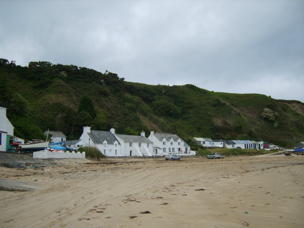
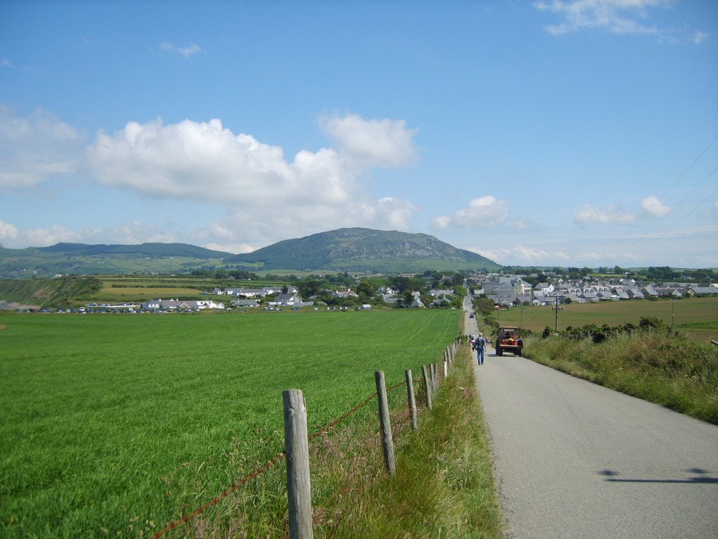
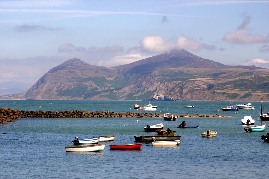
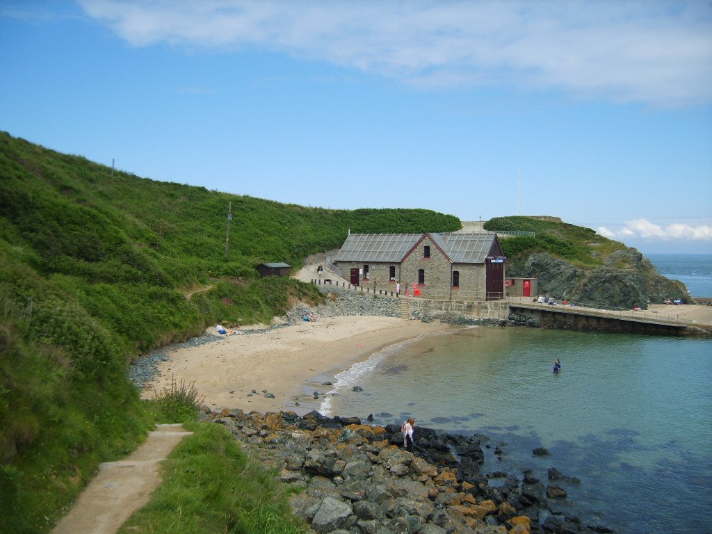
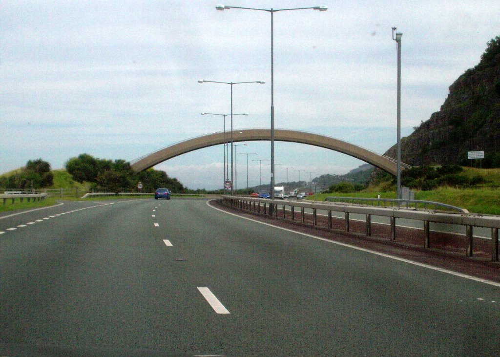
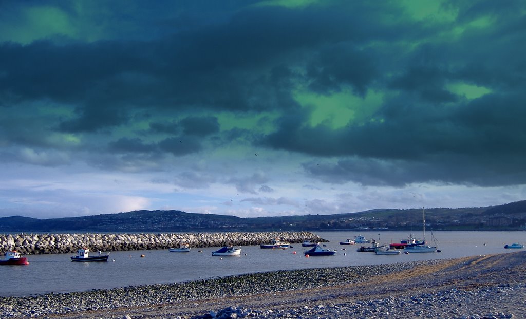
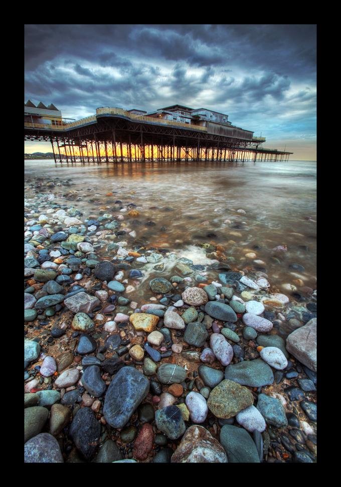
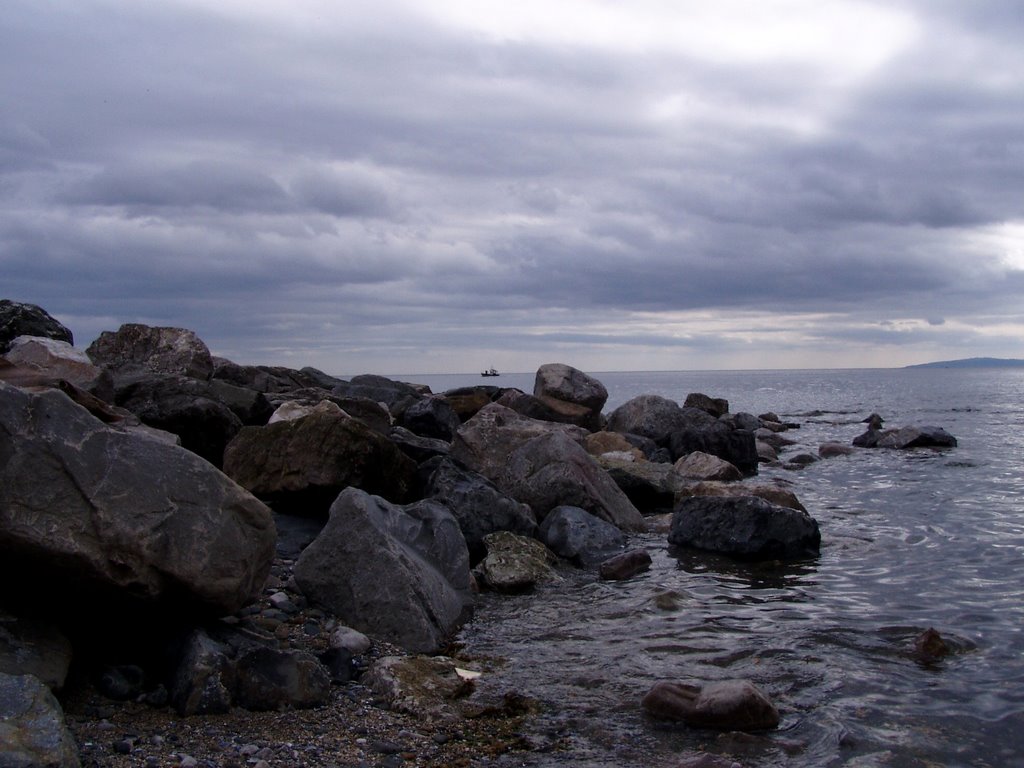
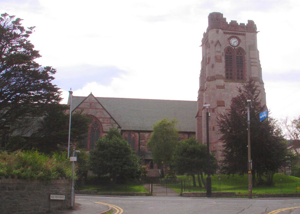
Photos of Nefyn
Nefyn Weather

Predicción: Clear sky
Temperatura: 9.9°
Humedad: 66%
Hora actual: 07:08 PM
Amanece: 06:14 AM
Anochece: 08:20 PM
Colwyn Bay, United Kingdom
Latitude: 53.2932 // Longitude: -3.72764
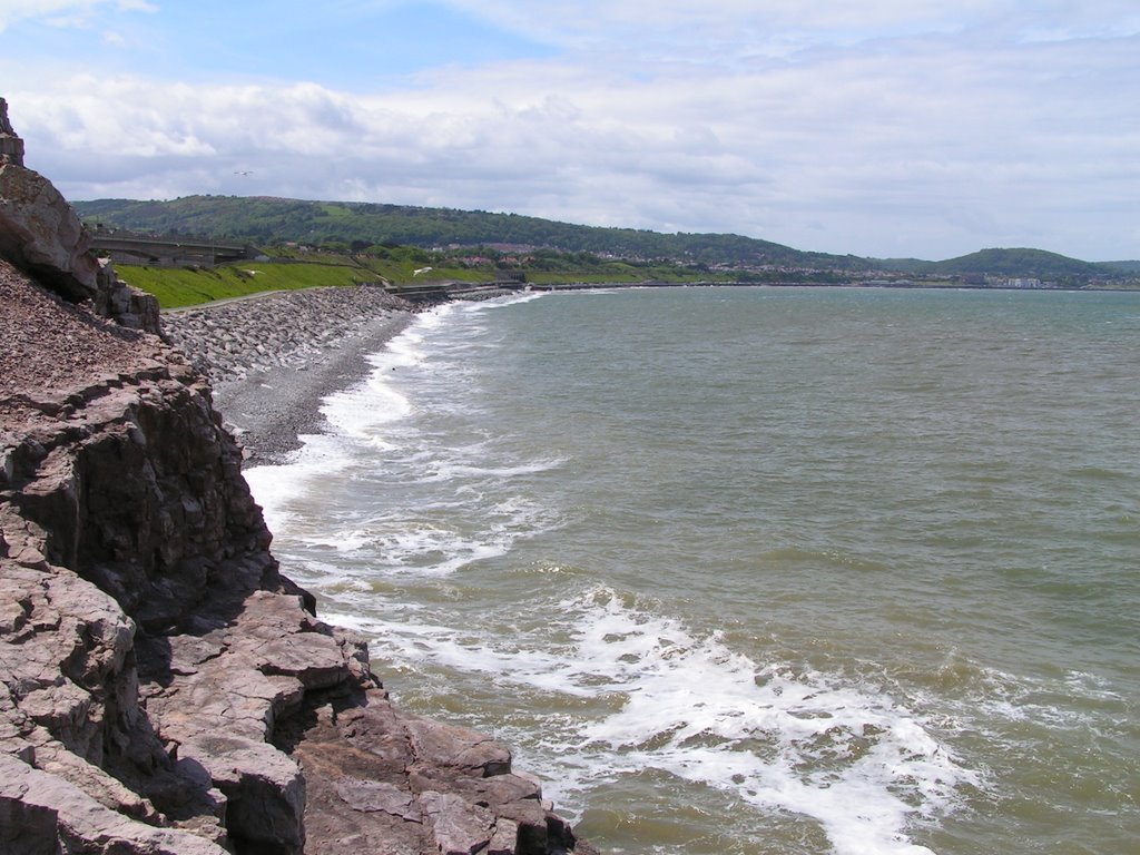
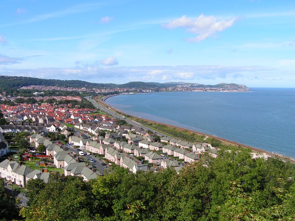
Photos of Colwyn Bay
Colwyn Bay Weather

Predicción: Clear sky
Temperatura: 9.6°
Humedad: 75%
Hora actual: 07:08 PM
Amanece: 06:10 AM
Anochece: 08:18 PM


