Distance between  Mullaghbrack and
  Greysteel
54.29 mi Straight Distance
74.41 mi Driving Distance
1 hour 32 mins Estimated Driving Time
The straight distance between Mullaghbrack (Northern Ireland) and Greysteel (Northern Ireland) is 54.29 mi, but the driving distance is 74.41 mi.
It takes to go from Mullaghbrack to Greysteel.
Driving directions from Mullaghbrack to Greysteel
Distance in kilometers
Straight distance: 87.35 km. Route distance: 119.73 km
Mullaghbrack, United Kingdom
Latitude: 54.3236 // Longitude: -6.53168
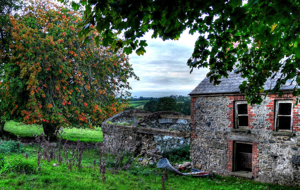
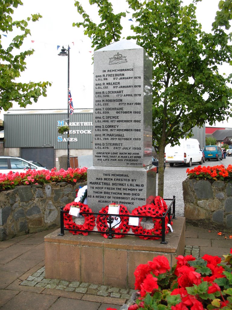
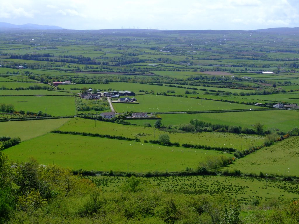
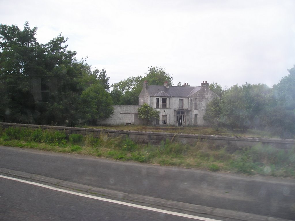
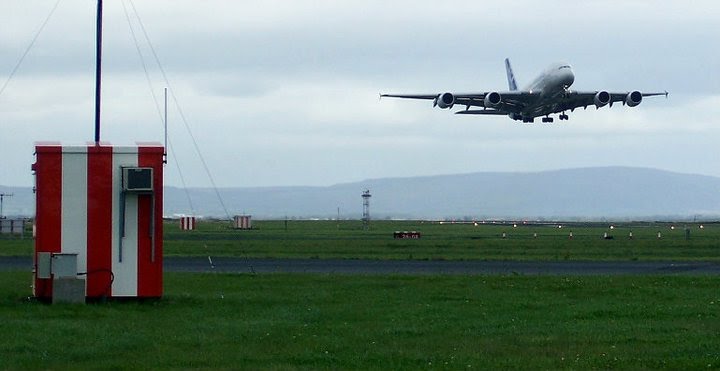
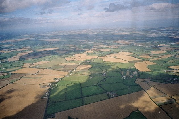
Photos of Mullaghbrack
Mullaghbrack Weather

Predicción: Overcast clouds
Temperatura: 9.5°
Humedad: 92%
Hora actual: 12:00 AM
Amanece: 05:14 AM
Anochece: 07:35 PM
Greysteel, United Kingdom
Latitude: 55.0325 // Longitude: -7.11766
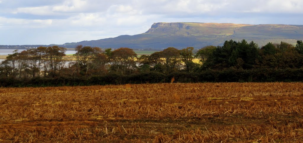
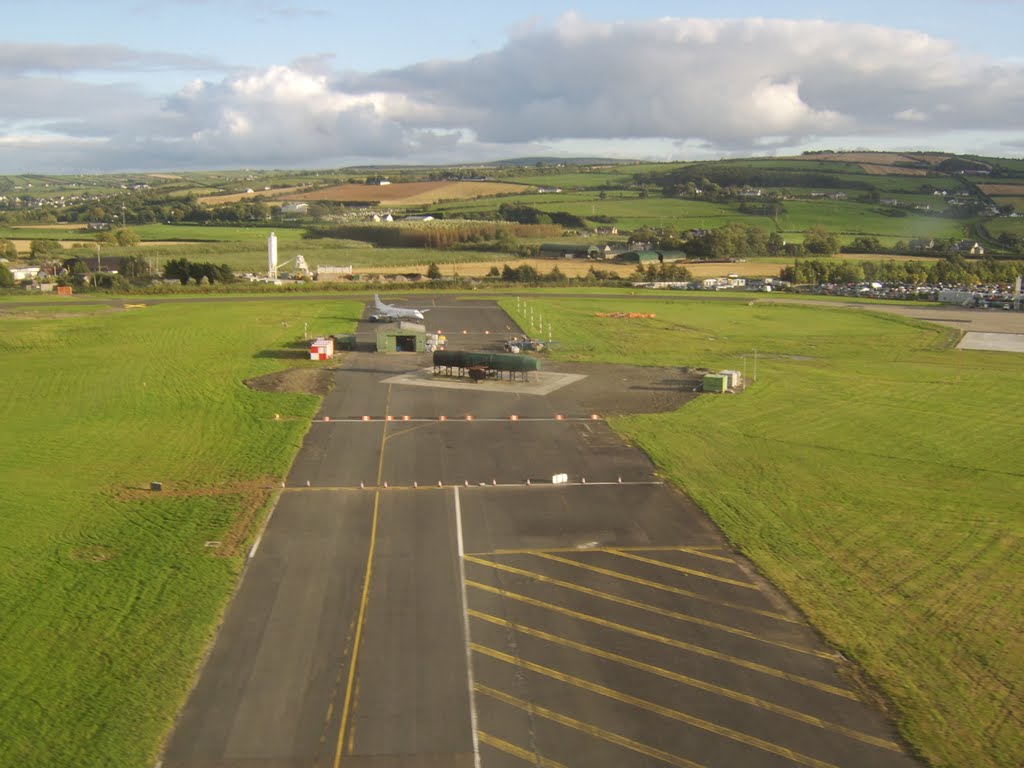
Photos of Greysteel
Greysteel Weather

Predicción: Overcast clouds
Temperatura: 10.9°
Humedad: 93%
Hora actual: 10:26 PM
Amanece: 06:15 AM
Anochece: 08:40 PM


