Distance between  Mullaghbawn and
  Gracehill
51.90 mi Straight Distance
75.83 mi Driving Distance
1 hour 19 mins Estimated Driving Time
The straight distance between Mullaghbawn (Northern Ireland) and Gracehill (Northern Ireland) is 51.90 mi, but the driving distance is 75.83 mi.
It takes 1 hour 33 mins to go from Mullaghbawn to Gracehill.
Driving directions from Mullaghbawn to Gracehill
Distance in kilometers
Straight distance: 83.51 km. Route distance: 122.01 km
Mullaghbawn, United Kingdom
Latitude: 54.1081 // Longitude: -6.47786
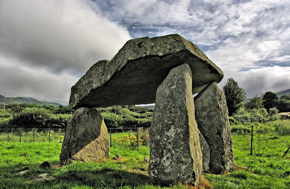
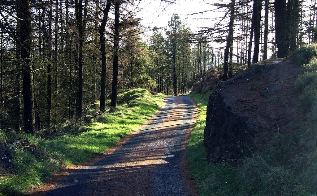
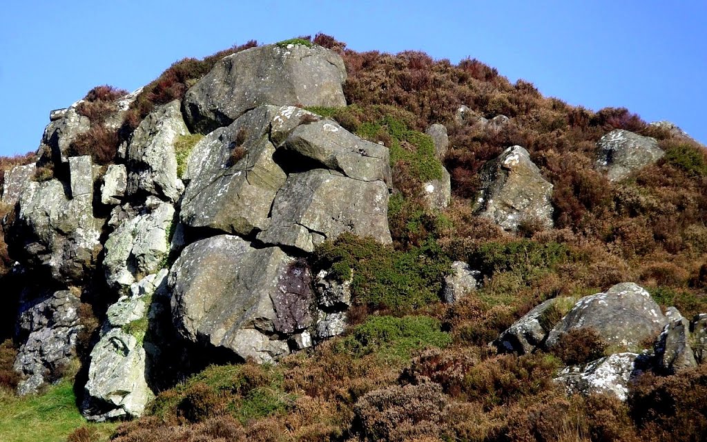
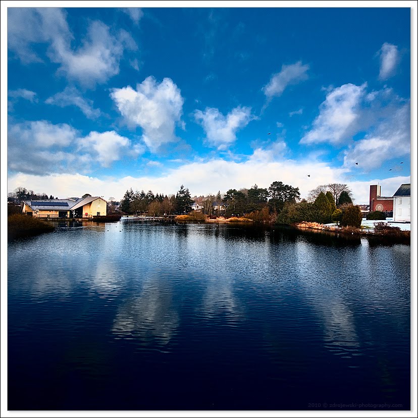
Photos of Mullaghbawn
Mullaghbawn Weather

Predicción: Overcast clouds
Temperatura: 9.5°
Humedad: 88%
Hora actual: 12:00 AM
Amanece: 05:12 AM
Anochece: 07:37 PM
Gracehill, United Kingdom
Latitude: 54.8544 // Longitude: -6.33051
Photos of Gracehill
Gracehill Weather

Predicción: Overcast clouds
Temperatura: 8.9°
Humedad: 93%
Hora actual: 01:24 AM
Amanece: 06:10 AM
Anochece: 08:38 PM


