Distance between  Middleton and
  Hartland
201.11 mi Straight Distance
289.98 mi Driving Distance
4 hours 29 mins Estimated Driving Time
The straight distance between Middleton (England) and Hartland (England) is 201.11 mi, but the driving distance is 289.98 mi.
It takes to go from Middleton to Hartland.
Driving directions from Middleton to Hartland
Distance in kilometers
Straight distance: 323.58 km. Route distance: 466.57 km
Middleton, United Kingdom
Latitude: 53.5459 // Longitude: -2.20195
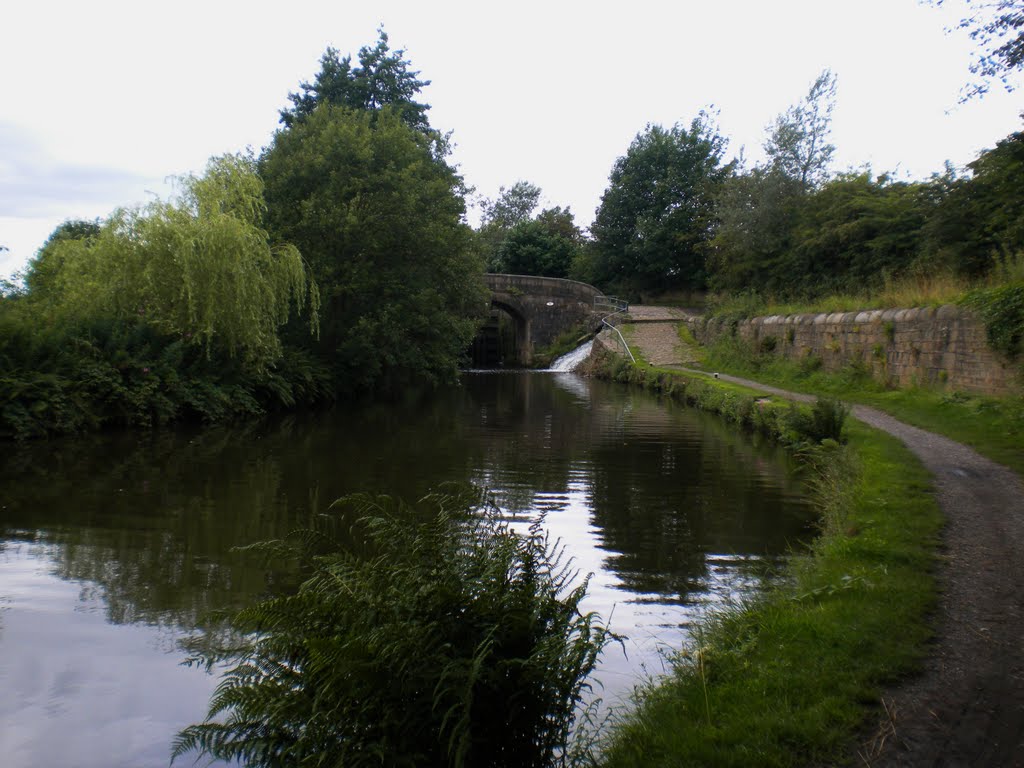
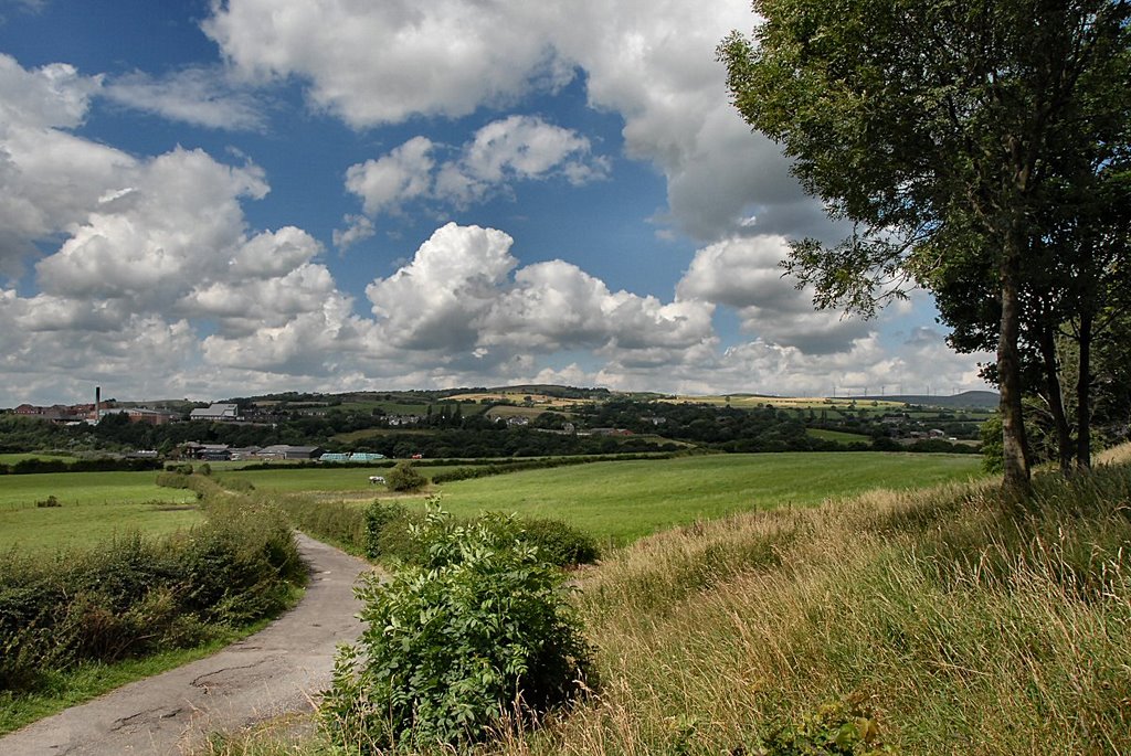
Photos of Middleton
Middleton Weather

Predicción: Overcast clouds
Temperatura: 10.6°
Humedad: 69%
Hora actual: 06:19 PM
Amanece: 06:03 AM
Anochece: 08:12 PM
Hartland, United Kingdom
Latitude: 50.9902 // Longitude: -4.47935
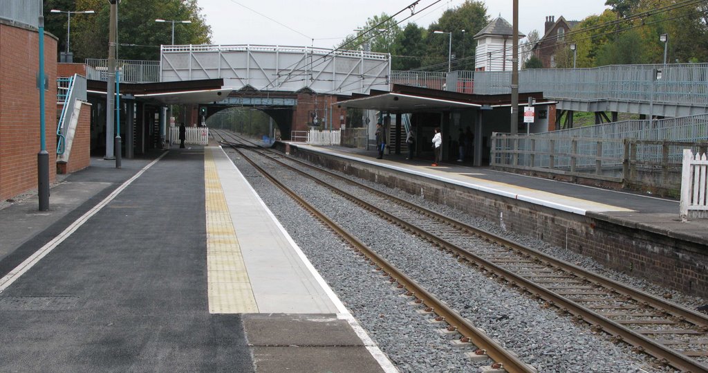
Photos of Hartland
Hartland Weather

Predicción: Broken clouds
Temperatura: 9.8°
Humedad: 79%
Hora actual: 06:19 PM
Amanece: 06:18 AM
Anochece: 08:16 PM


