Distance between  Melrose and
  Glasgow
62.28 mi Straight Distance
81.29 mi Driving Distance
1 hour 23 mins Estimated Driving Time
The straight distance between Melrose (Scotland) and Glasgow (Scotland) is 62.28 mi, but the driving distance is 81.29 mi.
It takes 1 hour 35 mins to go from Melrose to Glasgow.
Driving directions from Melrose to Glasgow
Distance in kilometers
Straight distance: 100.21 km. Route distance: 130.79 km
Melrose, United Kingdom
Latitude: 55.5987 // Longitude: -2.72191
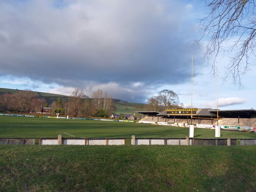
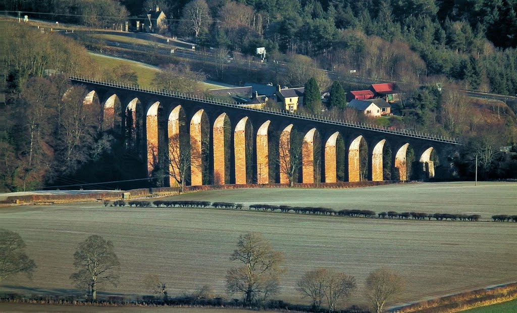
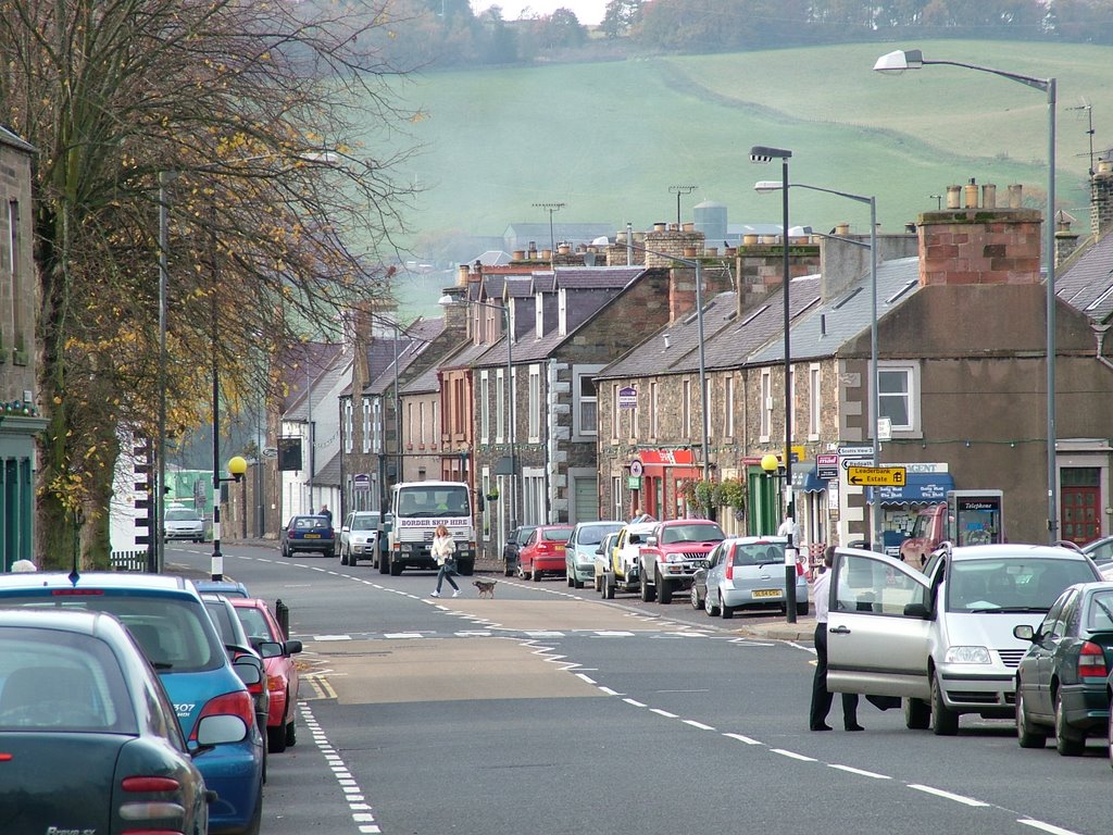
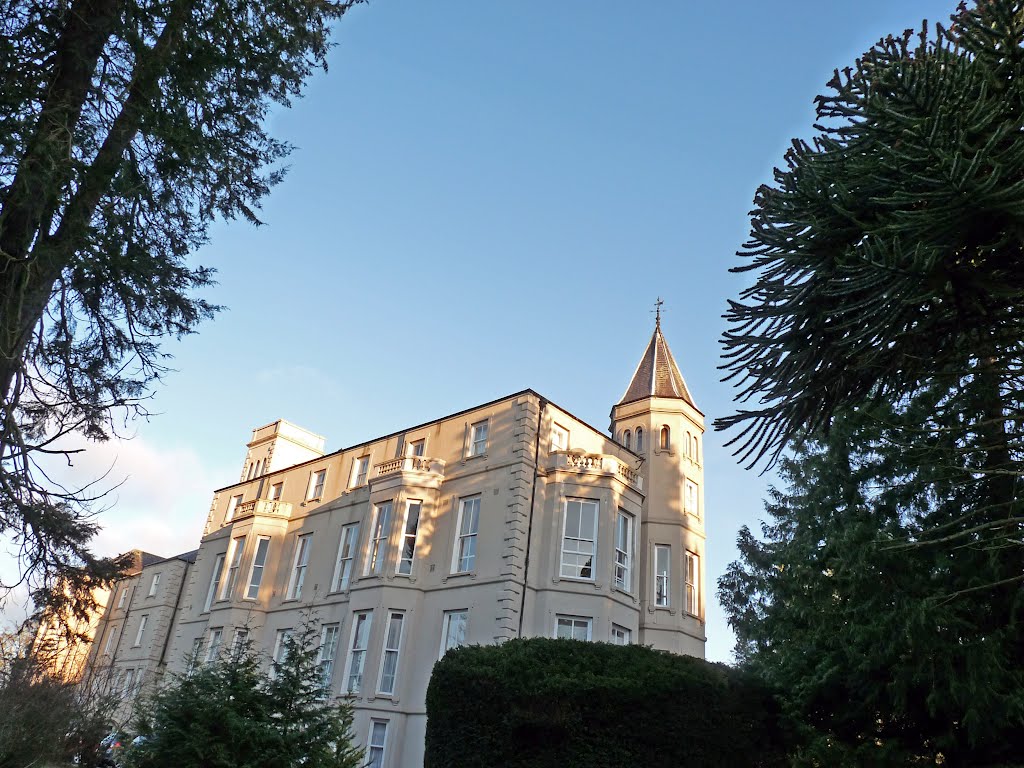
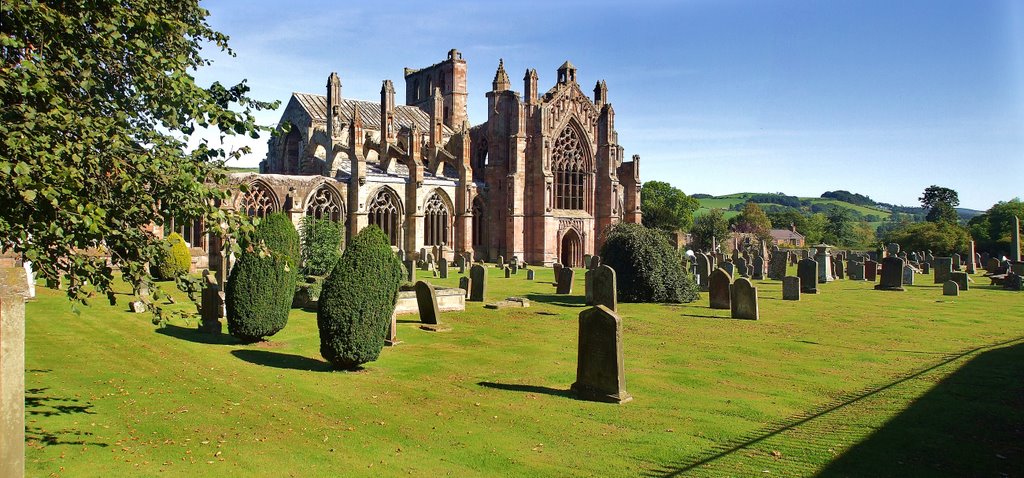
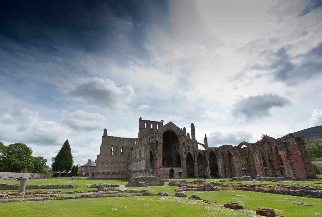
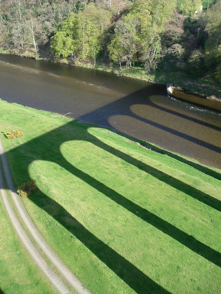
Photos of Melrose
Melrose Weather

Predicción: Overcast clouds
Temperatura: 11.4°
Humedad: 80%
Hora actual: 05:44 PM
Amanece: 05:55 AM
Anochece: 08:24 PM
Glasgow, United Kingdom
Latitude: 55.8642 // Longitude: -4.25181
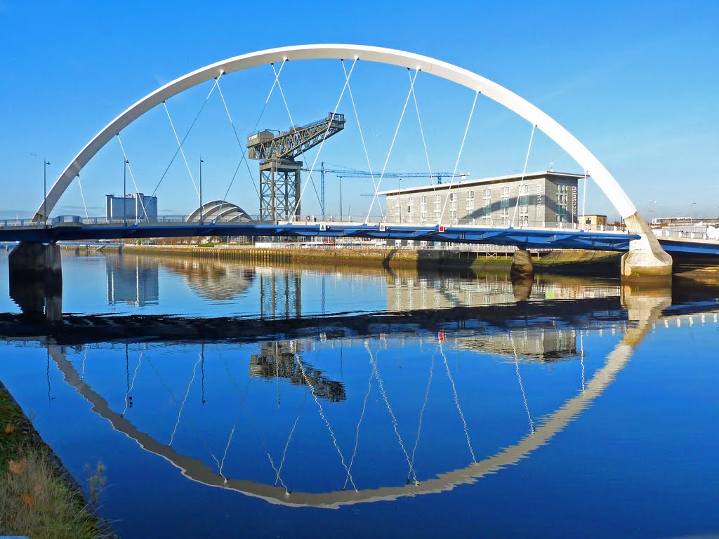
Photos of Glasgow
Glasgow Weather

Predicción: Broken clouds
Temperatura: 10.7°
Humedad: 86%
Hora actual: 05:44 PM
Amanece: 06:01 AM
Anochece: 08:30 PM


