Distance between  Maryport and
  Ingleby Barwick
88.13 mi Straight Distance
108.63 mi Driving Distance
1 hour 48 mins Estimated Driving Time
The straight distance between Maryport (England) and Ingleby Barwick (England) is 88.13 mi, but the driving distance is 108.63 mi.
It takes 2 hours 12 mins to go from Maryport to Ingleby Barwick.
Driving directions from Maryport to Ingleby Barwick
Distance in kilometers
Straight distance: 141.80 km. Route distance: 174.79 km
Maryport, United Kingdom
Latitude: 54.7144 // Longitude: -3.49494
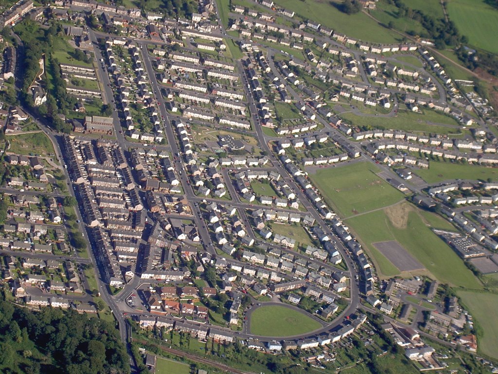
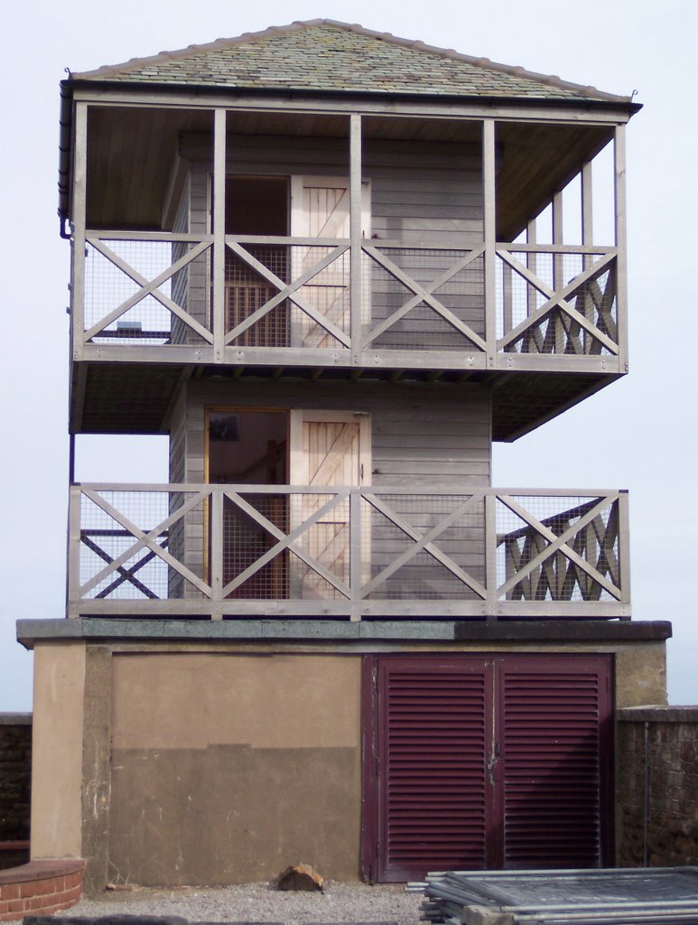
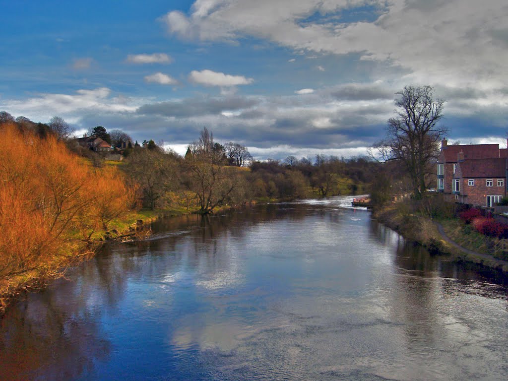
Photos of Maryport
Maryport Weather

Predicción: Overcast clouds
Temperatura: 8.4°
Humedad: 99%
Hora actual: 02:55 PM
Amanece: 06:01 AM
Anochece: 08:24 PM
Ingleby Barwick, United Kingdom
Latitude: 54.5201 // Longitude: -1.31774
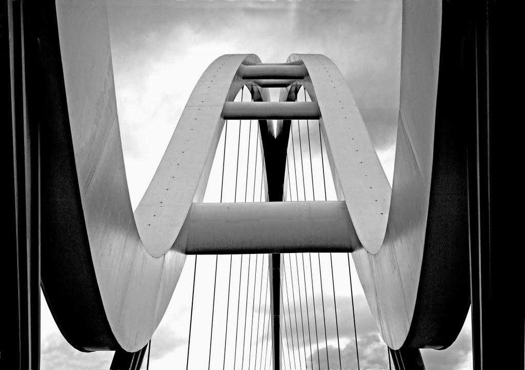
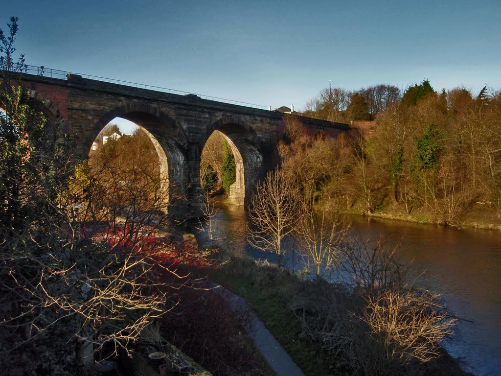
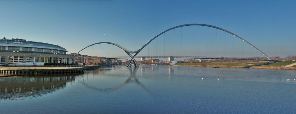
Photos of Ingleby Barwick
Ingleby Barwick Weather

Predicción: Light rain
Temperatura: 8.6°
Humedad: 78%
Hora actual: 02:55 PM
Amanece: 05:53 AM
Anochece: 08:15 PM


