Distance between  March and
  Kenilworth
71.67 mi Straight Distance
91.34 mi Driving Distance
1 hour 30 mins Estimated Driving Time
The straight distance between March (England) and Kenilworth (England) is 71.67 mi, but the driving distance is 91.34 mi.
It takes 1 hour 49 mins to go from March to Kenilworth.
Driving directions from March to Kenilworth
Distance in kilometers
Straight distance: 115.31 km. Route distance: 146.97 km
March, United Kingdom
Latitude: 52.5517 // Longitude: 0.088622
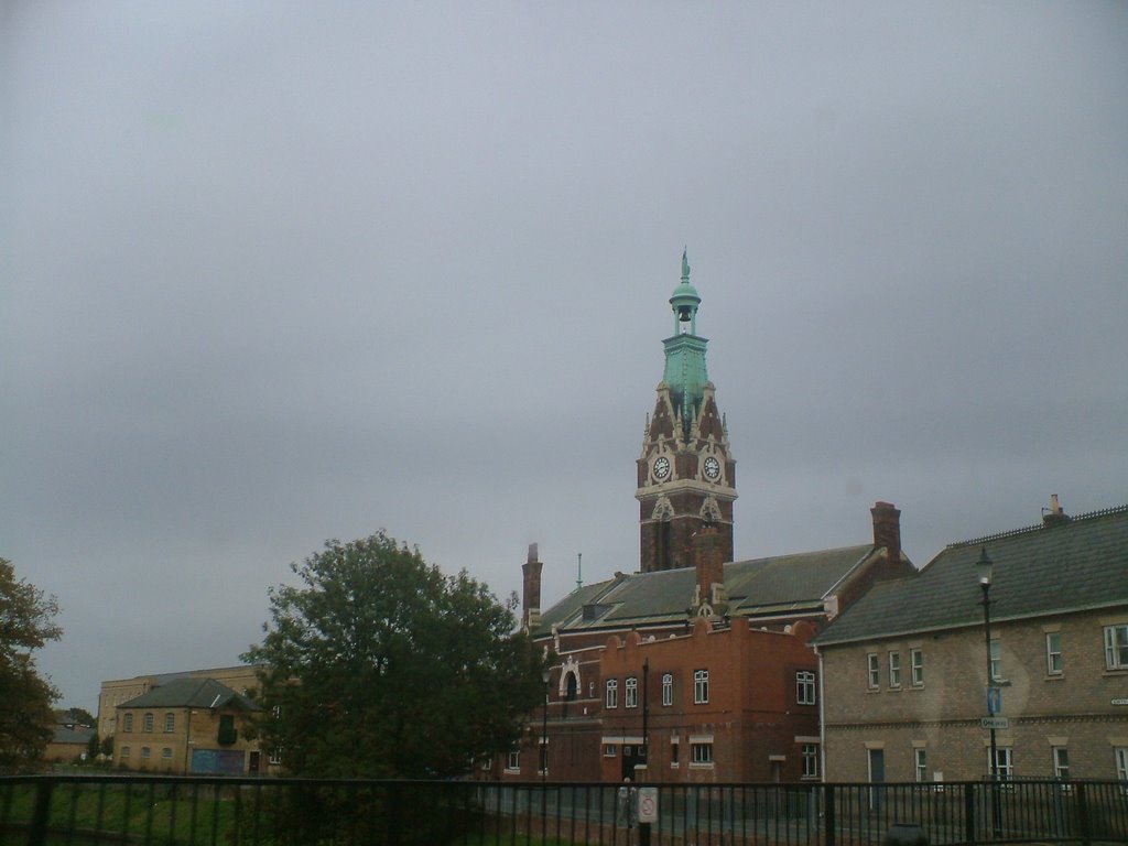
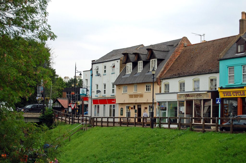
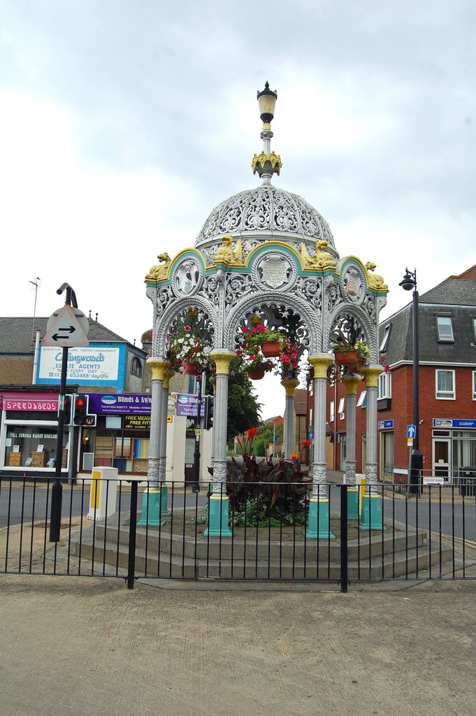
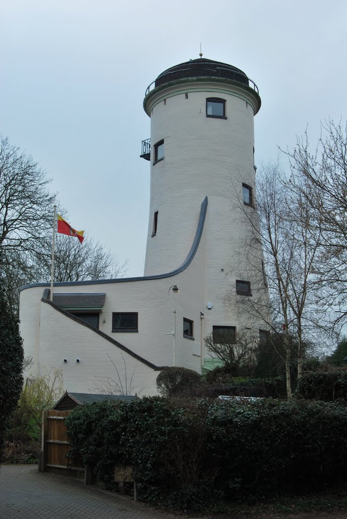
Photos of March
March Weather

Predicción: Broken clouds
Temperatura: 6.9°
Humedad: 1%
Hora actual: 04:56 AM
Amanece: 05:56 AM
Anochece: 08:01 PM
Kenilworth, United Kingdom
Latitude: 52.3496 // Longitude: -1.58073
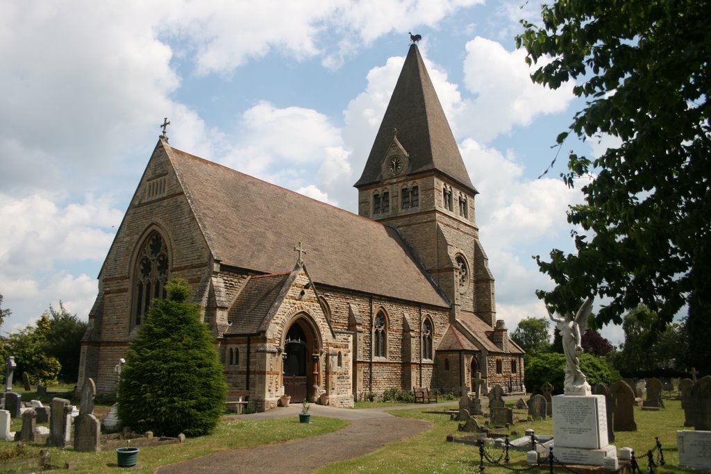
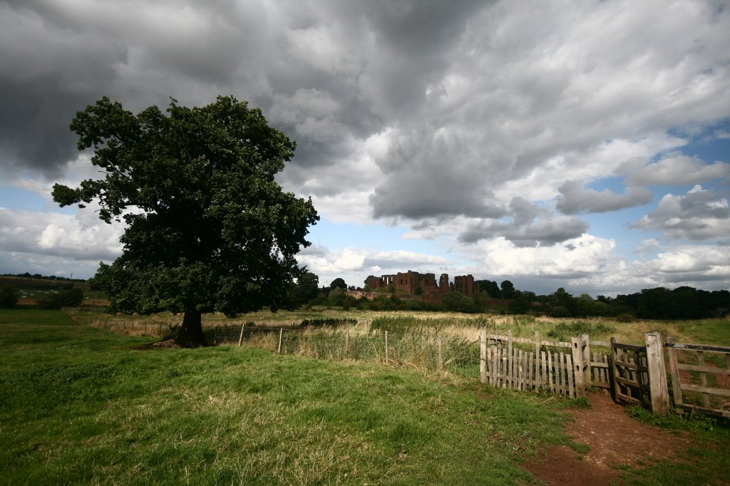
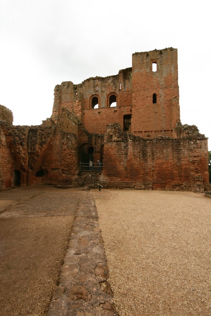
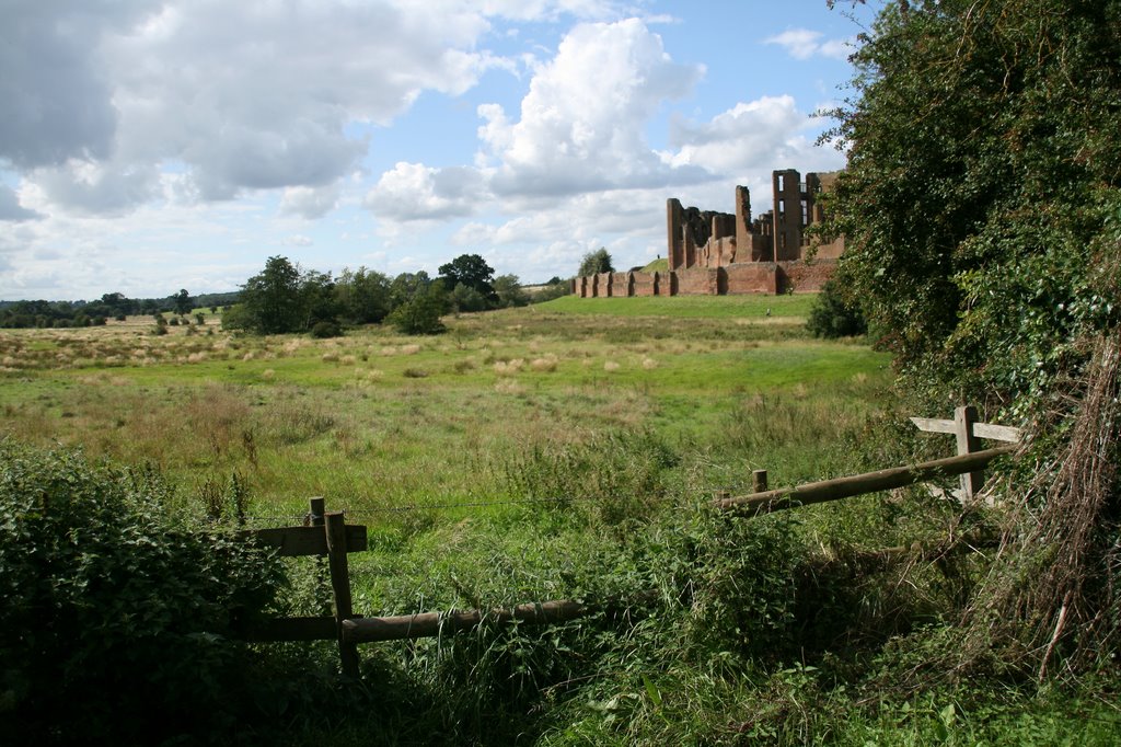
Photos of Kenilworth
Kenilworth Weather

Predicción: Broken clouds
Temperatura: 7.9°
Humedad: 87%
Hora actual: 04:56 AM
Amanece: 06:04 AM
Anochece: 08:07 PM


