Distance between  Magheralin and
  Lisnaskea
49.83 mi Straight Distance
58.90 mi Driving Distance
1 hour 2 mins Estimated Driving Time
The straight distance between Magheralin (Northern Ireland) and Lisnaskea (Northern Ireland) is 49.83 mi, but the driving distance is 58.90 mi.
It takes 1 hour 16 mins to go from Magheralin to Lisnaskea.
Driving directions from Magheralin to Lisnaskea
Distance in kilometers
Straight distance: 80.17 km. Route distance: 94.76 km
Magheralin, United Kingdom
Latitude: 54.4658 // Longitude: -6.26073
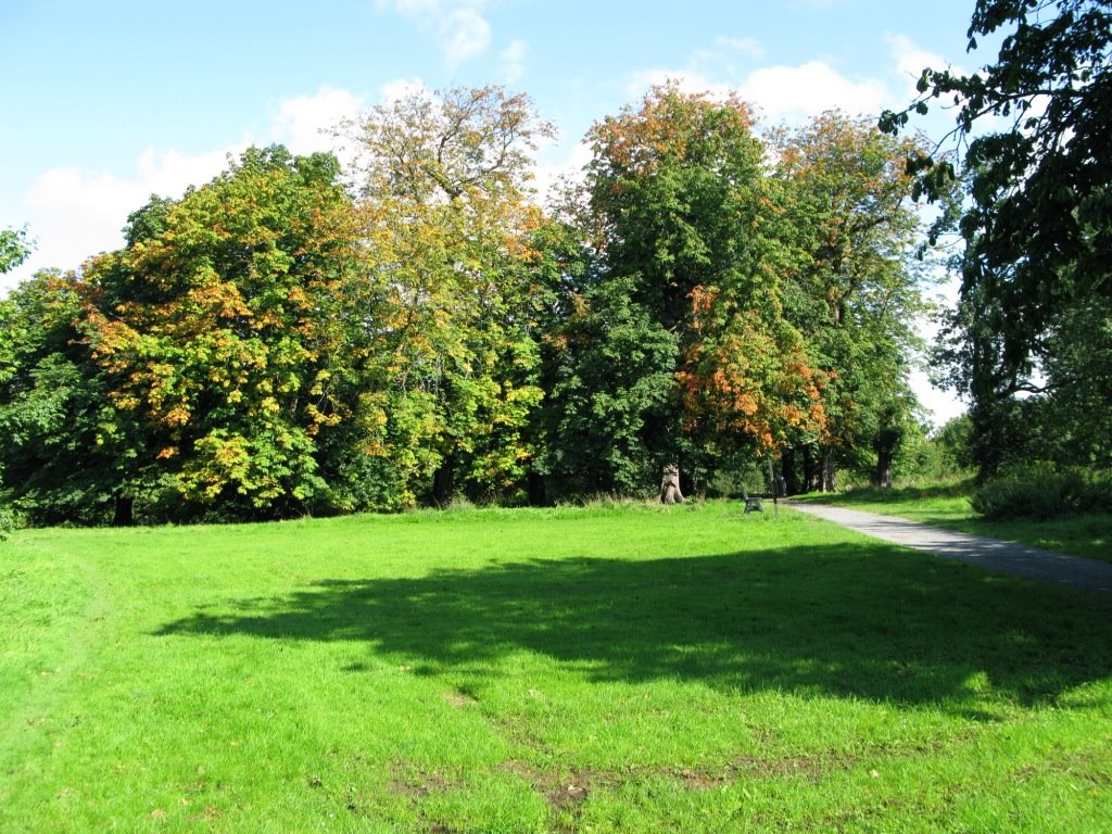
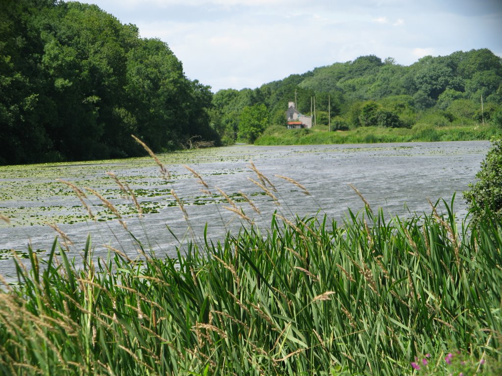
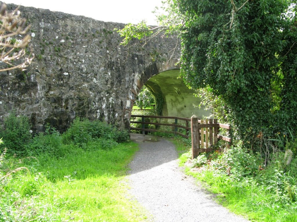
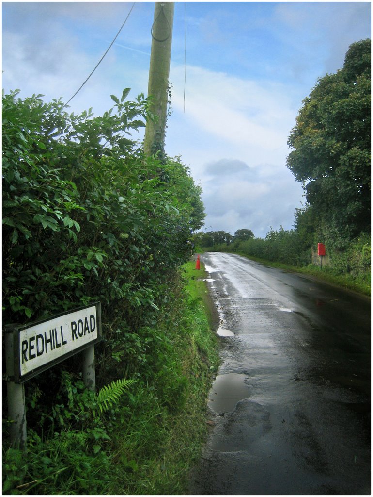
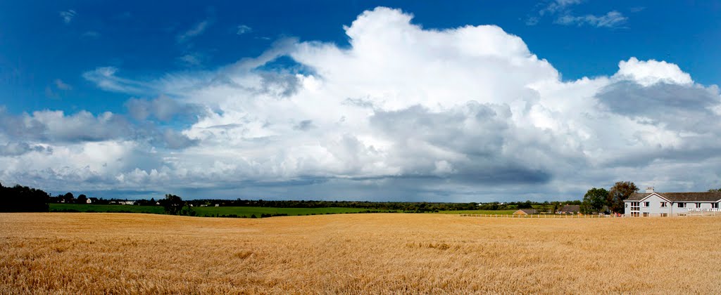
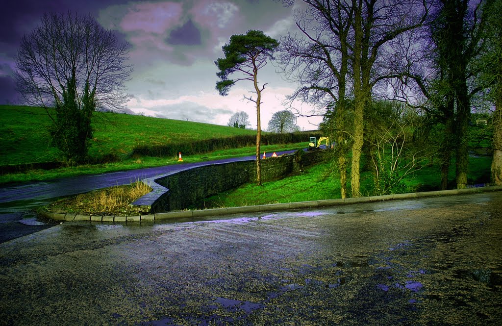
Photos of Magheralin
Magheralin Weather

Predicción: Overcast clouds
Temperatura: 9.3°
Humedad: 90%
Hora actual: 02:06 AM
Amanece: 06:10 AM
Anochece: 08:37 PM
Lisnaskea, United Kingdom
Latitude: 54.2536 // Longitude: -7.44355
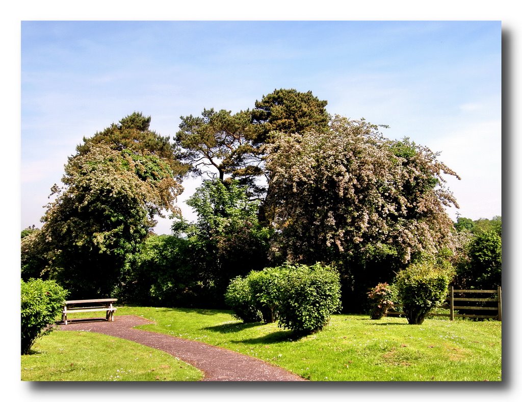
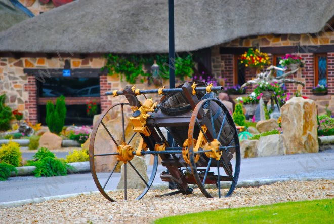
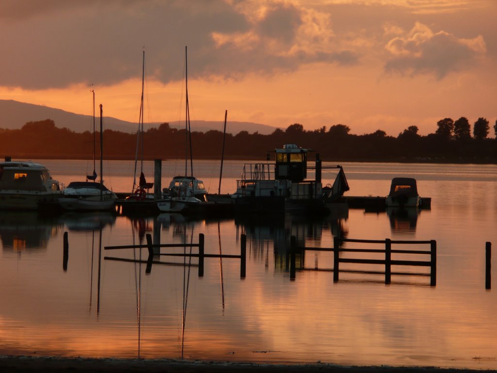
Photos of Lisnaskea
Lisnaskea Weather

Predicción: Overcast clouds
Temperatura: 9.6°
Humedad: 92%
Hora actual: 02:06 AM
Amanece: 06:16 AM
Anochece: 08:41 PM


