Distance between  Machynlleth and
  Kidwelly
62.06 mi Straight Distance
74.62 mi Driving Distance
1 hour 43 mins Estimated Driving Time
The straight distance between Machynlleth (Wales) and Kidwelly (Wales) is 62.06 mi, but the driving distance is 74.62 mi.
It takes 2 hours 3 mins to go from Machynlleth to Kidwelly.
Driving directions from Machynlleth to Kidwelly
Distance in kilometers
Straight distance: 99.86 km. Route distance: 120.06 km
Machynlleth, United Kingdom
Latitude: 52.5903 // Longitude: -3.85349
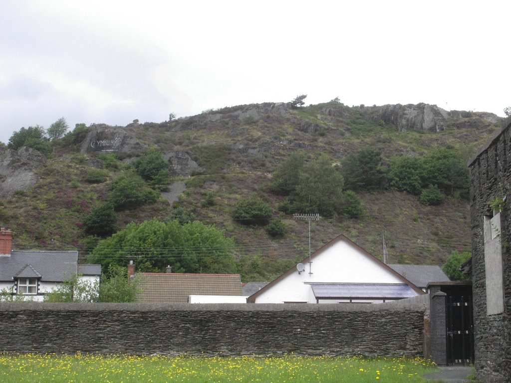
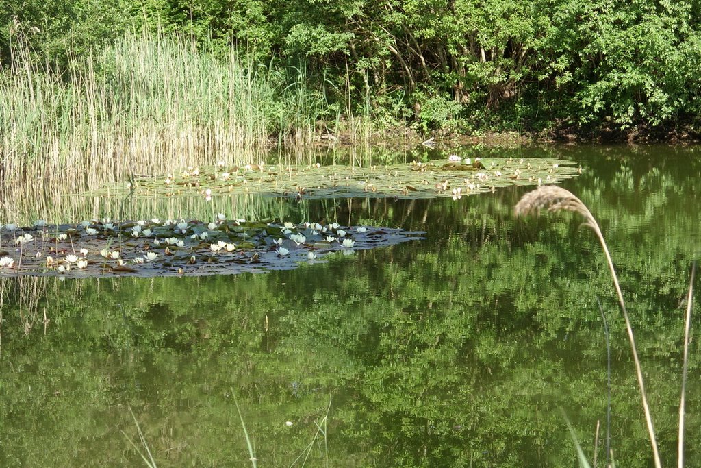
Photos of Machynlleth
Machynlleth Weather

Predicción: Clear sky
Temperatura: 6.5°
Humedad: 70%
Hora actual: 11:04 PM
Amanece: 06:12 AM
Anochece: 08:17 PM
Kidwelly, United Kingdom
Latitude: 51.7363 // Longitude: -4.30747
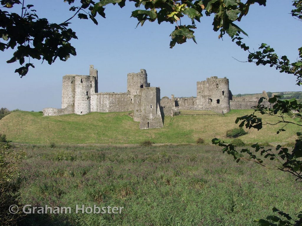
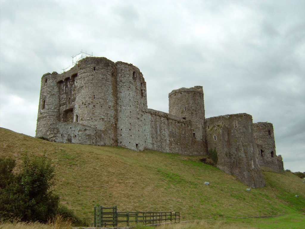
Photos of Kidwelly
Kidwelly Weather

Predicción: Overcast clouds
Temperatura: 8.5°
Humedad: 78%
Hora actual: 11:04 PM
Amanece: 06:16 AM
Anochece: 08:17 PM


