Distance between  Lurganville and
  Glebe
Glebe
54.62 mi Straight Distance
74.95 mi Driving Distance
1 hour 24 mins Estimated Driving Time
The straight distance between Lurganville (Northern Ireland) and Glebe (Northern Ireland) is 54.62 mi, but the driving distance is 74.95 mi.
It takes to go from Lurganville to Glebe.
Driving directions from Lurganville to Glebe
Distance in kilometers
Straight distance: 87.89 km. Route distance: 120.60 km
Lurganville, United Kingdom
Latitude: 54.4631 // Longitude: -6.18816
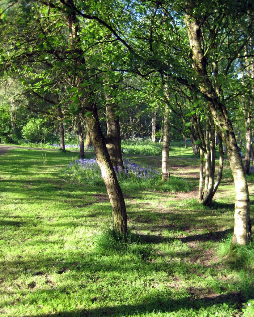
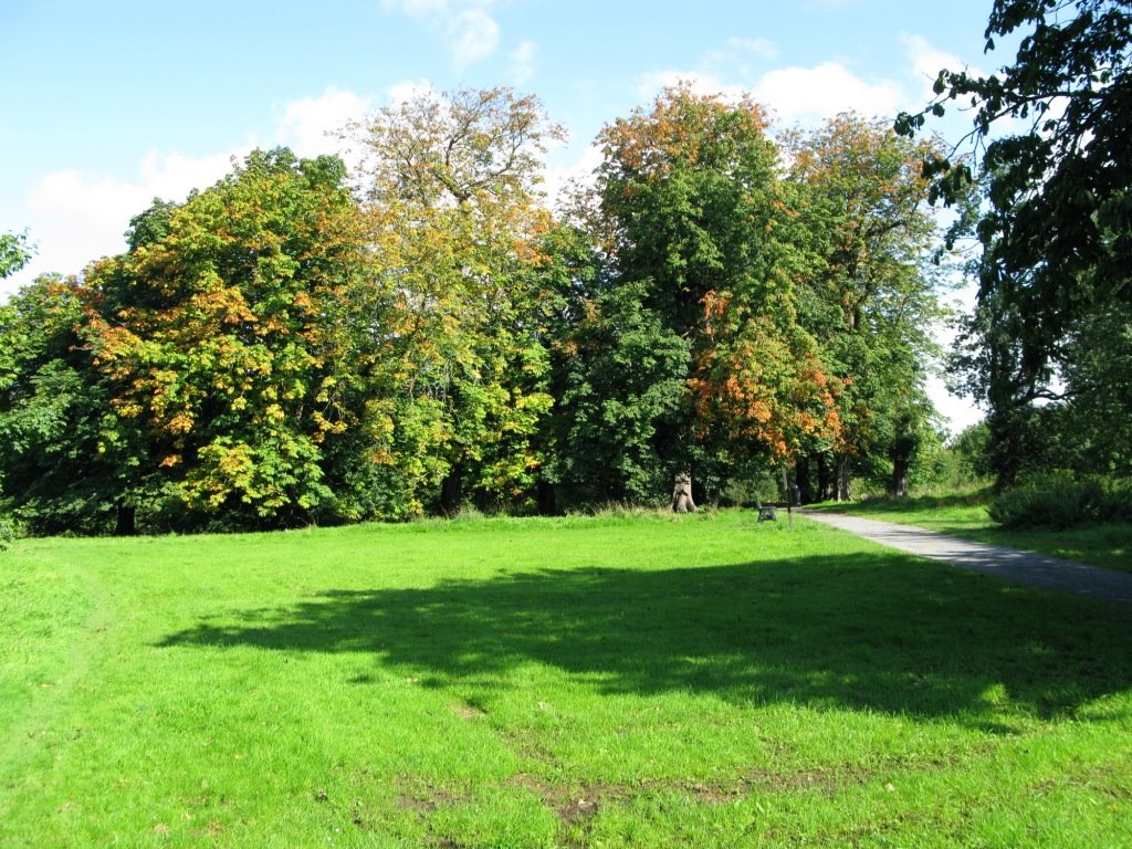
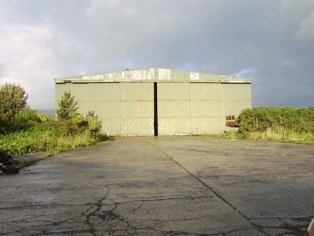
Photos of Lurganville
Lurganville Weather

Predicción: Overcast clouds
Temperatura: 10.2°
Humedad: 92%
Hora actual: 02:43 PM
Amanece: 06:12 AM
Anochece: 08:34 PM
Glebe, United Kingdom
Latitude: 55.1178 // Longitude: -6.95685
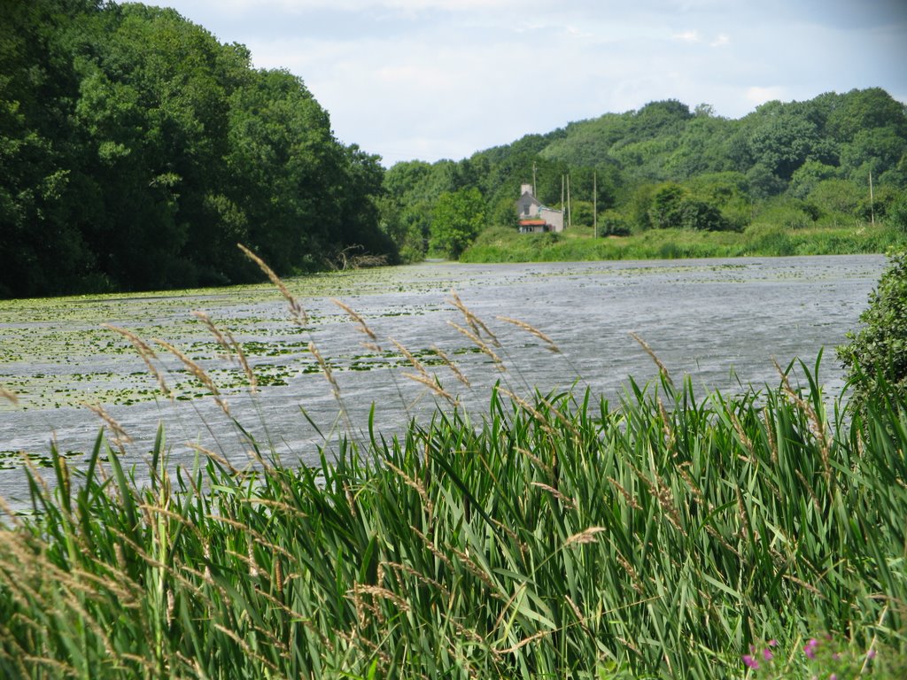
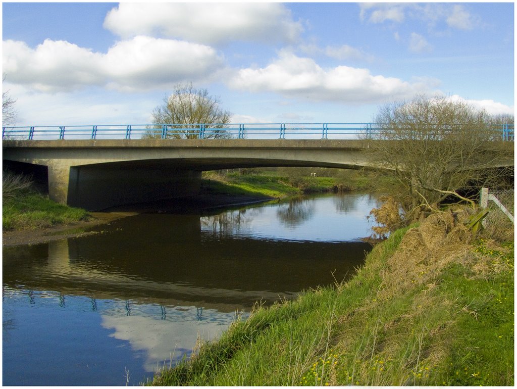
Photos of Glebe
Glebe Weather

Predicción: Light intensity shower rain
Temperatura: 12.0°
Humedad: 82%
Hora actual: 01:00 AM
Amanece: 06:14 AM
Anochece: 08:39 PM


