Distance between  Lurgan and
  Donegore
20.29 mi Straight Distance
29.24 mi Driving Distance
38 minutes Estimated Driving Time
The straight distance between Lurgan (Northern Ireland) and Donegore (Northern Ireland) is 20.29 mi, but the driving distance is 29.24 mi.
It takes to go from Lurgan to Donegore.
Driving directions from Lurgan to Donegore
Distance in kilometers
Straight distance: 32.65 km. Route distance: 47.05 km
Lurgan, United Kingdom
Latitude: 54.4648 // Longitude: -6.33602
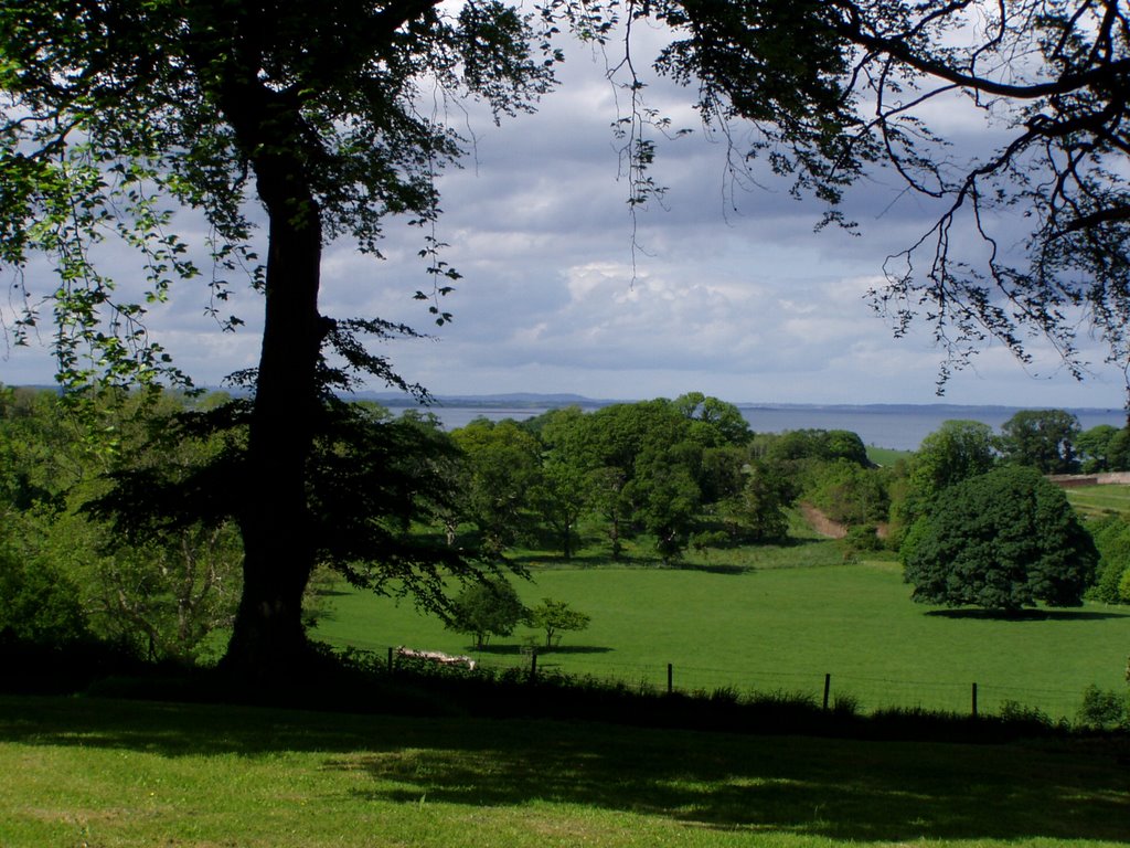
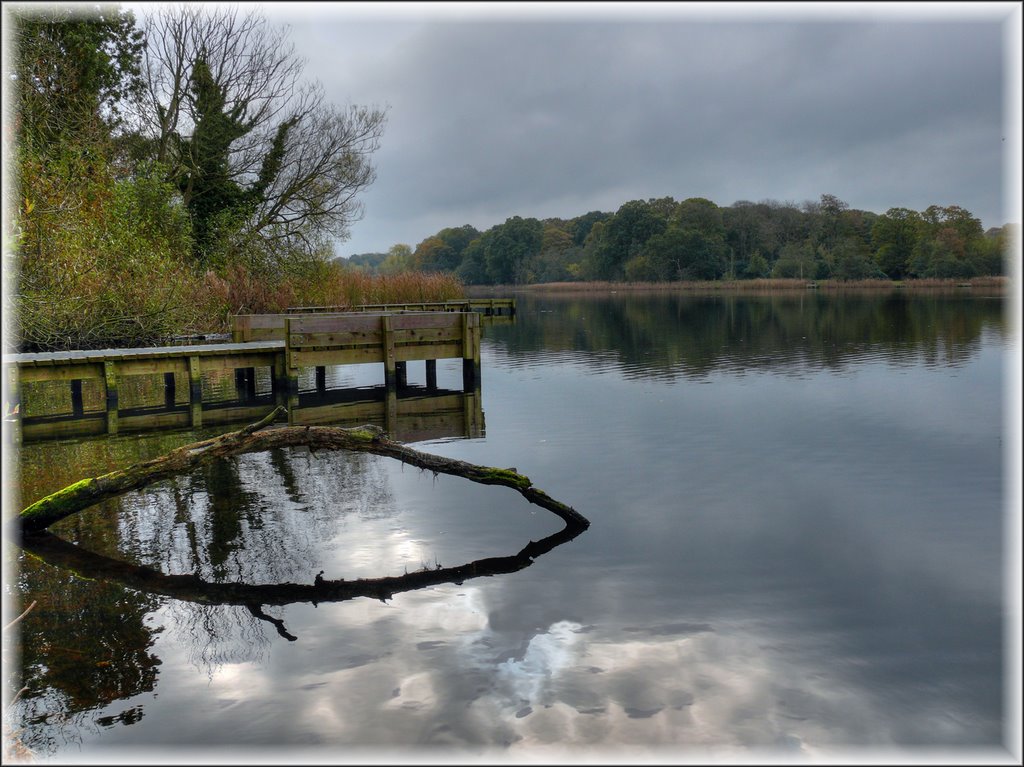
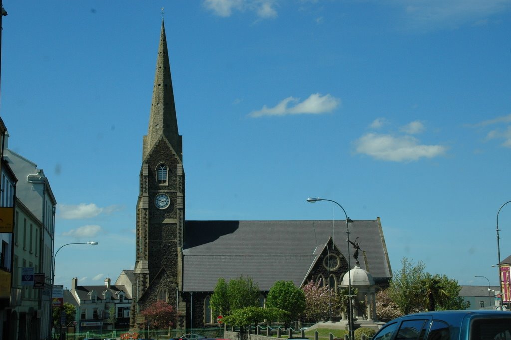
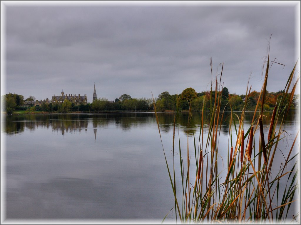
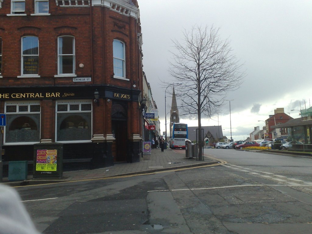
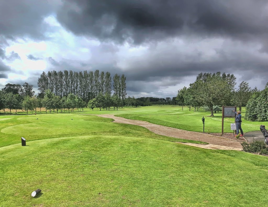
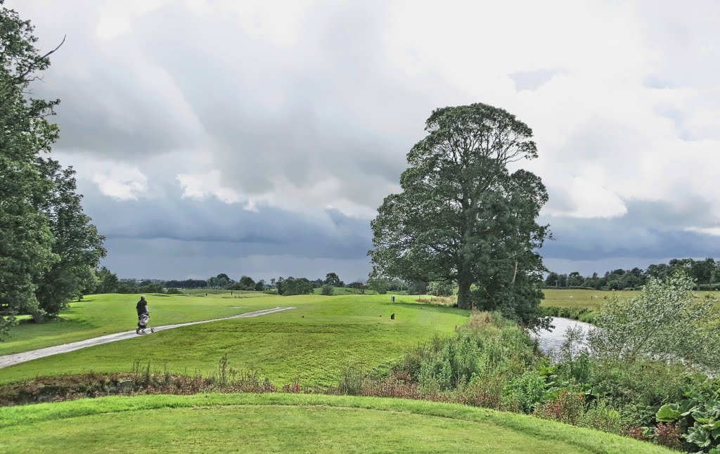
Photos of Lurgan
Lurgan Weather

Predicción: Broken clouds
Temperatura: 1.5°
Humedad: 92%
Hora actual: 04:02 AM
Amanece: 06:13 AM
Anochece: 08:35 PM
Donegore, United Kingdom
Latitude: 54.7345 // Longitude: -6.13519
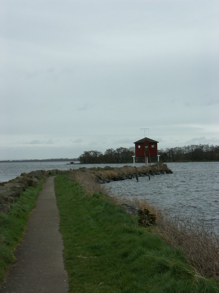
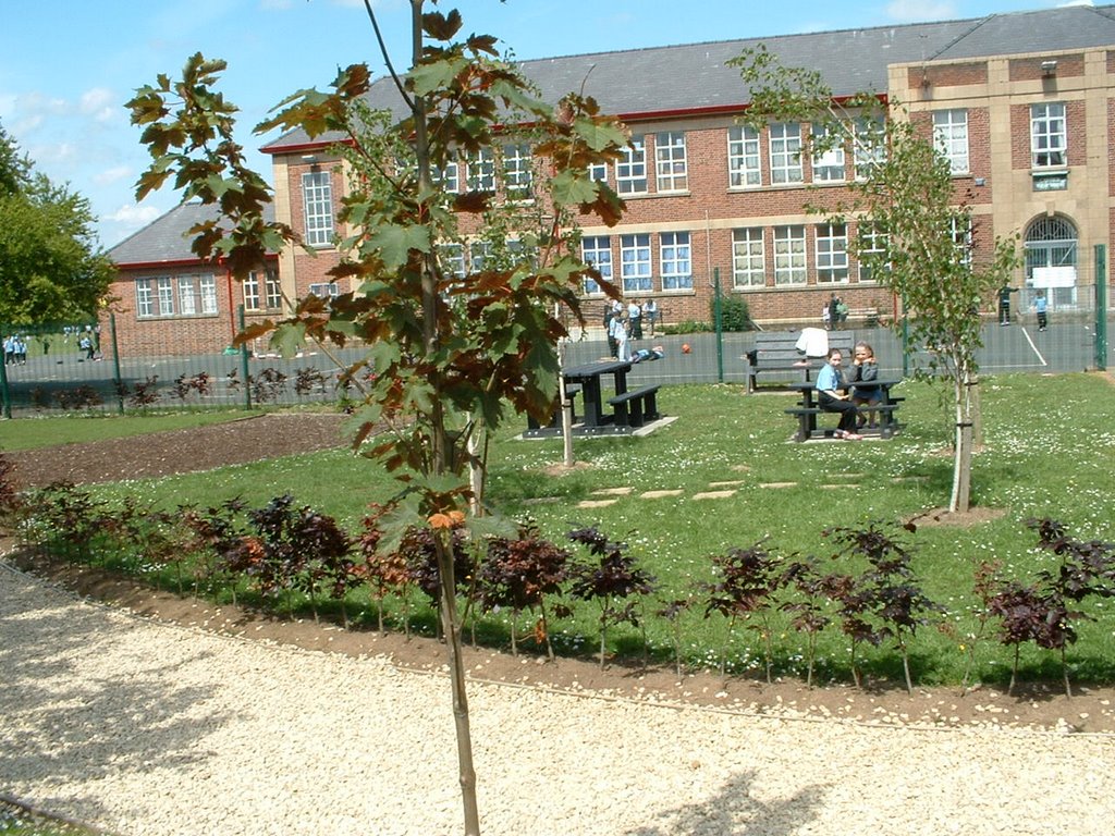
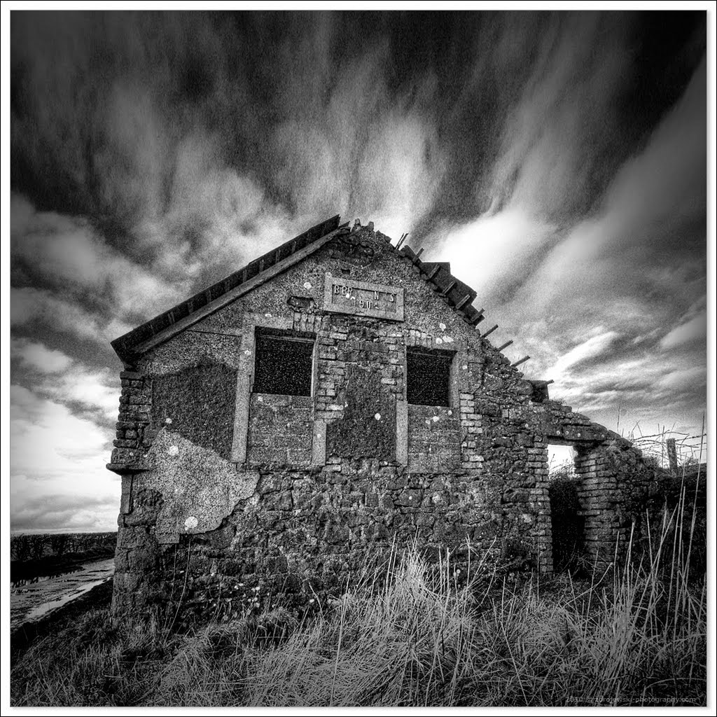
Photos of Donegore
Donegore Weather

Predicción: Overcast clouds
Temperatura: 1.2°
Humedad: 93%
Hora actual: 04:02 AM
Amanece: 06:11 AM
Anochece: 08:35 PM


