Distance between  Loftus and
  Havant
255.25 mi Straight Distance
324.55 mi Driving Distance
4 hours 53 mins Estimated Driving Time
The straight distance between Loftus (England) and Havant (England) is 255.25 mi, but the driving distance is 324.55 mi.
It takes to go from Loftus to Havant.
Driving directions from Loftus to Havant
Distance in kilometers
Straight distance: 410.69 km. Route distance: 522.21 km
Loftus, United Kingdom
Latitude: 54.553 // Longitude: -0.889884
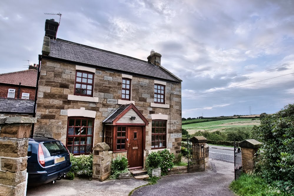
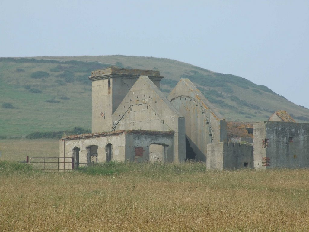
Photos of Loftus
Loftus Weather

Predicción: Broken clouds
Temperatura: 5.9°
Humedad: 79%
Hora actual: 10:51 PM
Amanece: 05:56 AM
Anochece: 08:10 PM
Havant, United Kingdom
Latitude: 50.8592 // Longitude: -0.983996
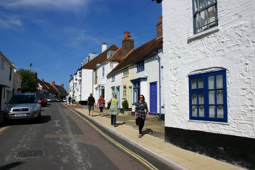
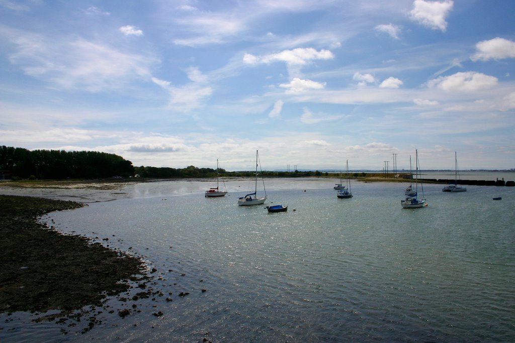
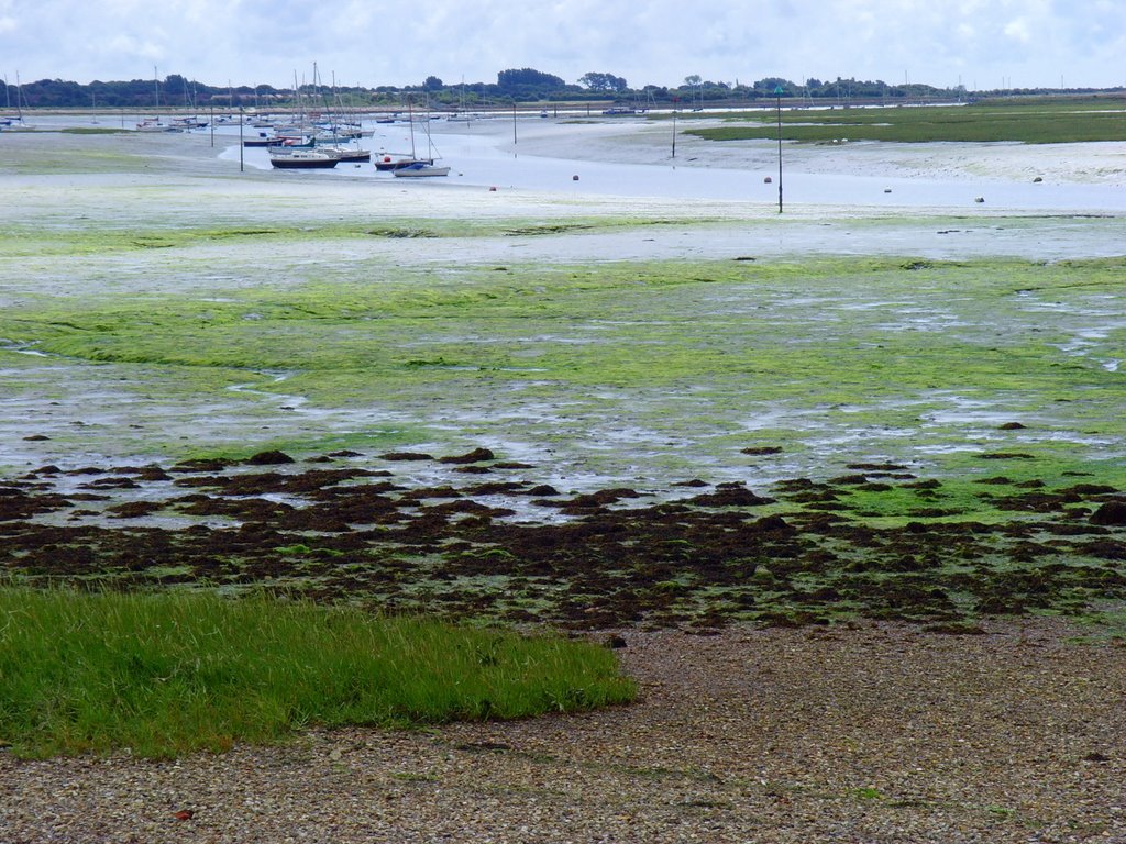
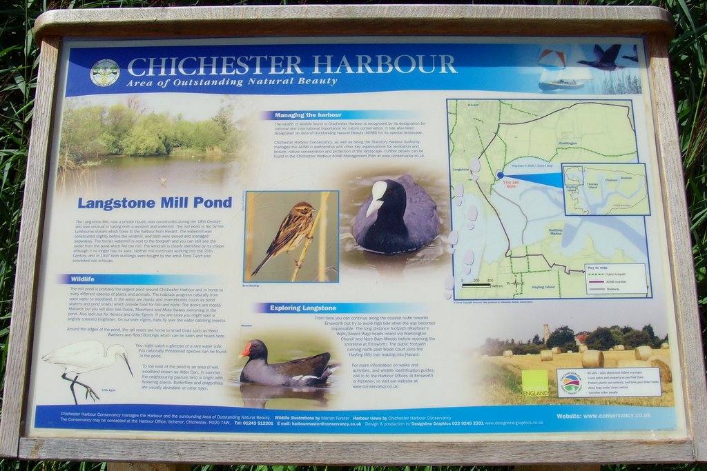
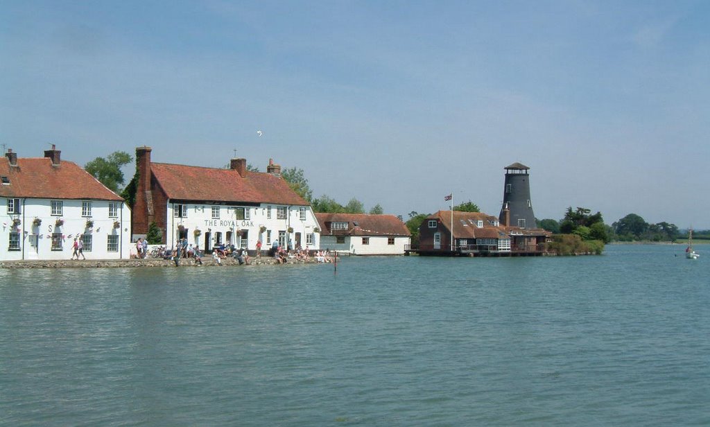
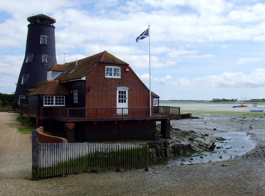
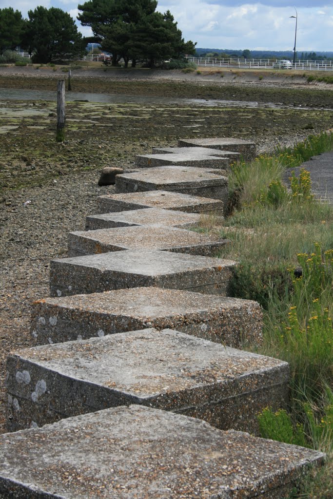
Photos of Havant
Havant Weather

Predicción: Scattered clouds
Temperatura: 6.3°
Humedad: 81%
Hora actual: 10:51 PM
Amanece: 06:04 AM
Anochece: 08:02 PM


