Distance between  Lochearnhead and
  Isle of Lewis
155.92 mi Straight Distance
264.25 mi Driving Distance
6 hours 9 mins Estimated Driving Time
The straight distance between Lochearnhead (Scotland) and Isle of Lewis (Scotland) is 155.92 mi, but the driving distance is 264.25 mi.
It takes to go from Lochearnhead to Isle of Lewis.
Driving directions from Lochearnhead to Isle of Lewis
Distance in kilometers
Straight distance: 250.87 km. Route distance: 425.19 km
Lochearnhead, United Kingdom
Latitude: 56.3888 // Longitude: -4.28611
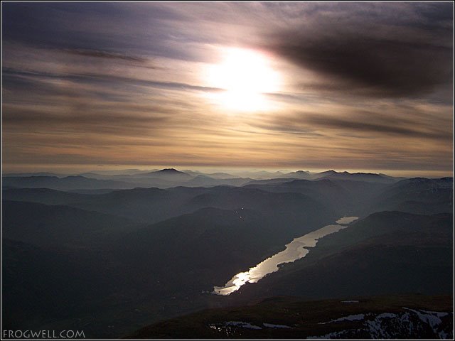
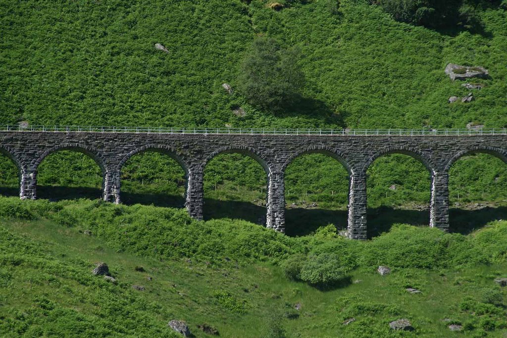
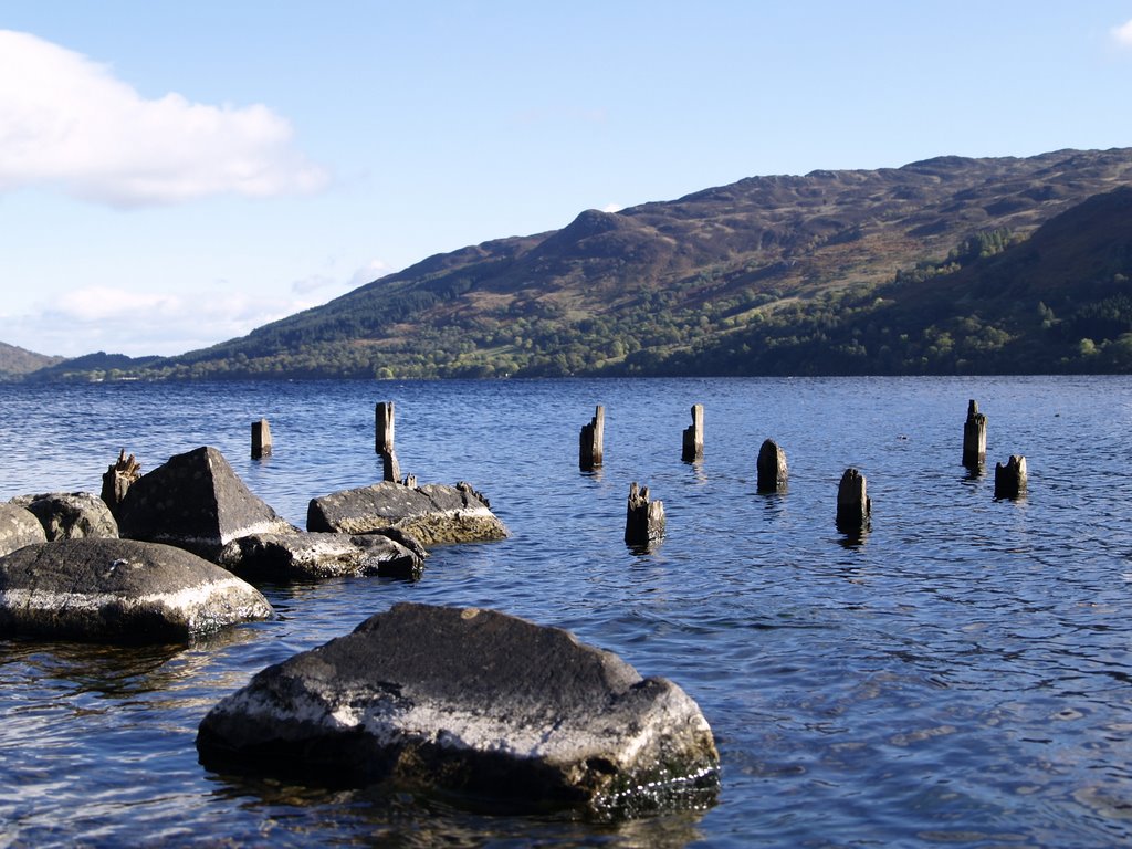
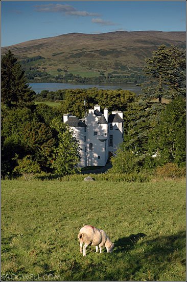
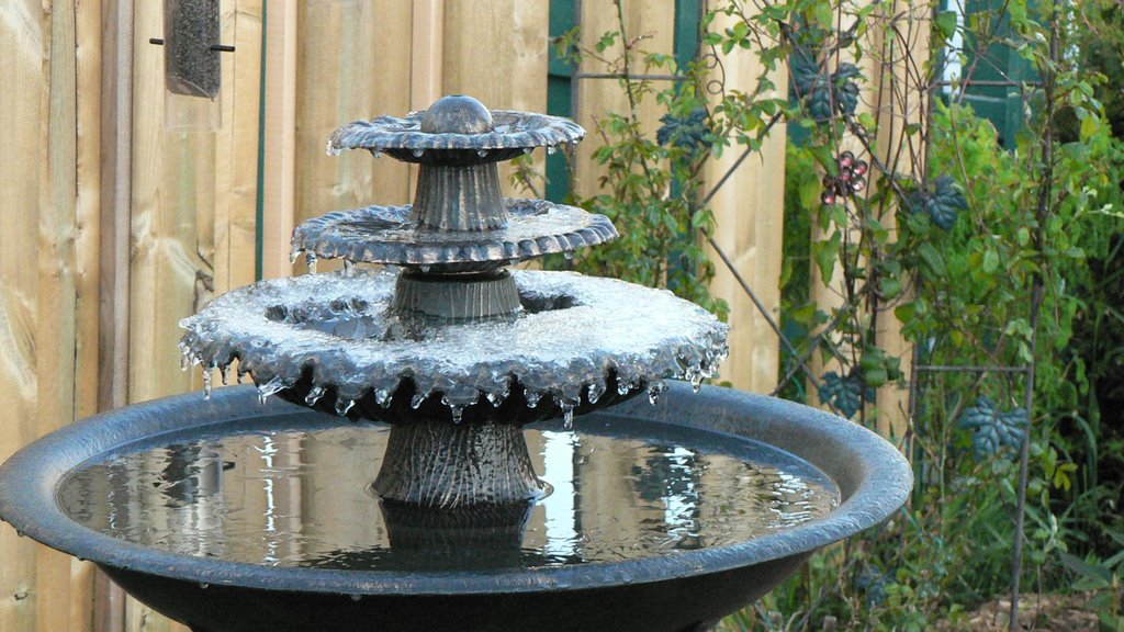
Photos of Lochearnhead
Lochearnhead Weather

Predicción: Broken clouds
Temperatura: 7.4°
Humedad: 62%
Hora actual: 12:00 AM
Amanece: 05:04 AM
Anochece: 07:28 PM
Isle of Lewis, United Kingdom
Latitude: 58.2436 // Longitude: -6.6672
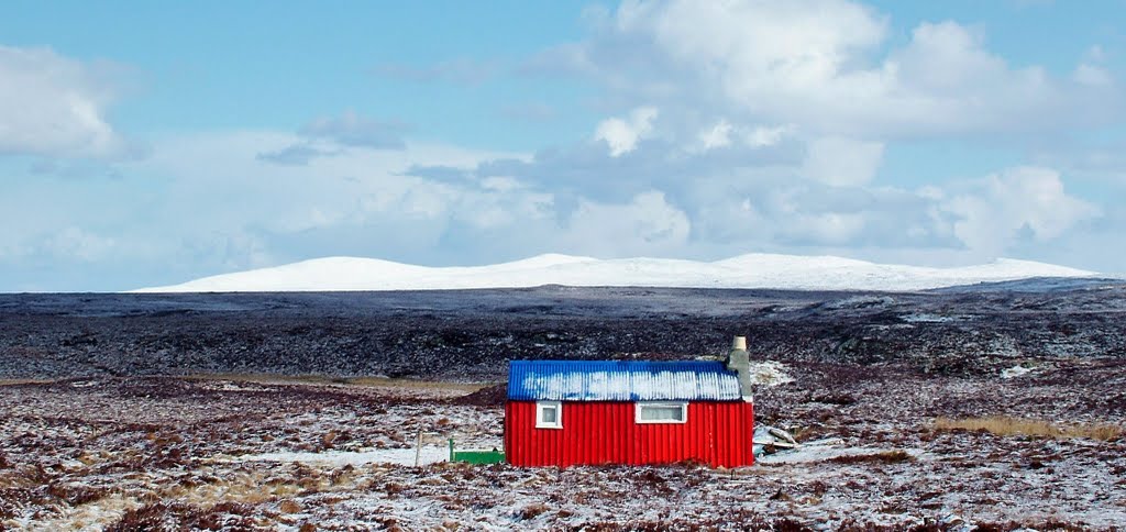
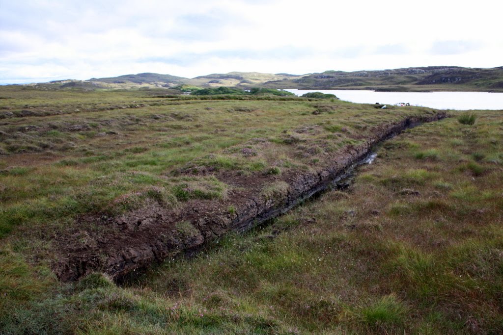
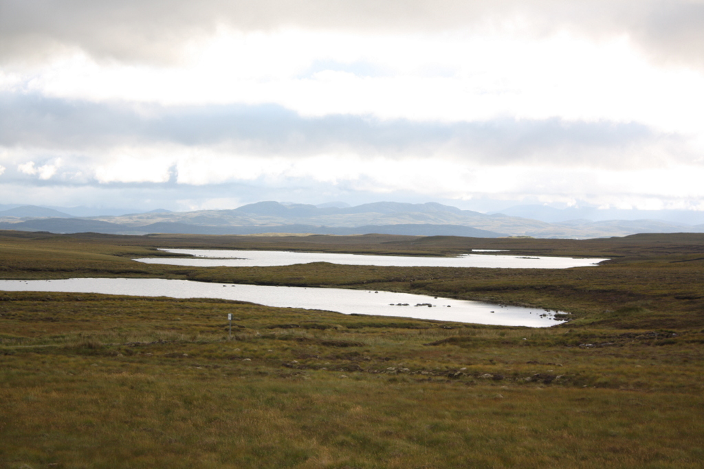
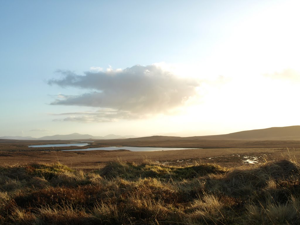
Photos of Isle of Lewis
Isle of Lewis Weather

Predicción: Few clouds
Temperatura: 6.6°
Humedad: 74%
Hora actual: 12:00 AM
Amanece: 05:09 AM
Anochece: 07:43 PM


