Distance between  Llanrwst and
  Burry Port
102.28 mi Straight Distance
138.70 mi Driving Distance
2 hours 59 mins Estimated Driving Time
The straight distance between Llanrwst (Wales) and Burry Port (Wales) is 102.28 mi, but the driving distance is 138.70 mi.
It takes 3 hours 27 mins to go from Llanrwst to Burry Port.
Driving directions from Llanrwst to Burry Port
Distance in kilometers
Straight distance: 164.57 km. Route distance: 223.17 km
Llanrwst, United Kingdom
Latitude: 53.137 // Longitude: -3.79573
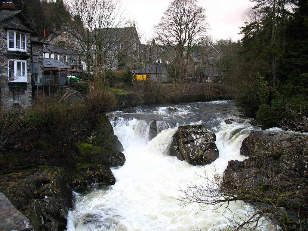
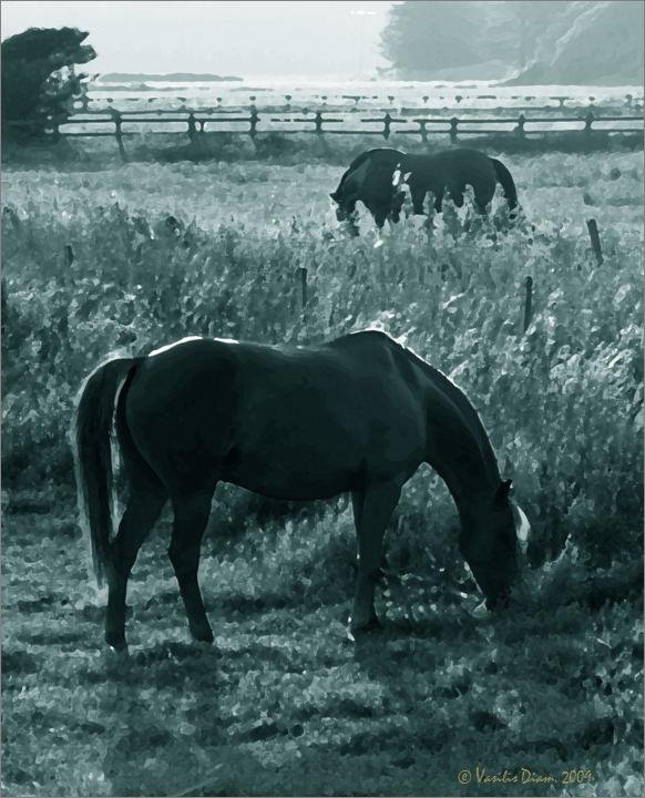
Photos of Llanrwst
Llanrwst Weather

Predicción: Few clouds
Temperatura: 3.1°
Humedad: 87%
Hora actual: 03:31 AM
Amanece: 06:06 AM
Anochece: 08:21 PM
Burry Port, United Kingdom
Latitude: 51.6835 // Longitude: -4.2561
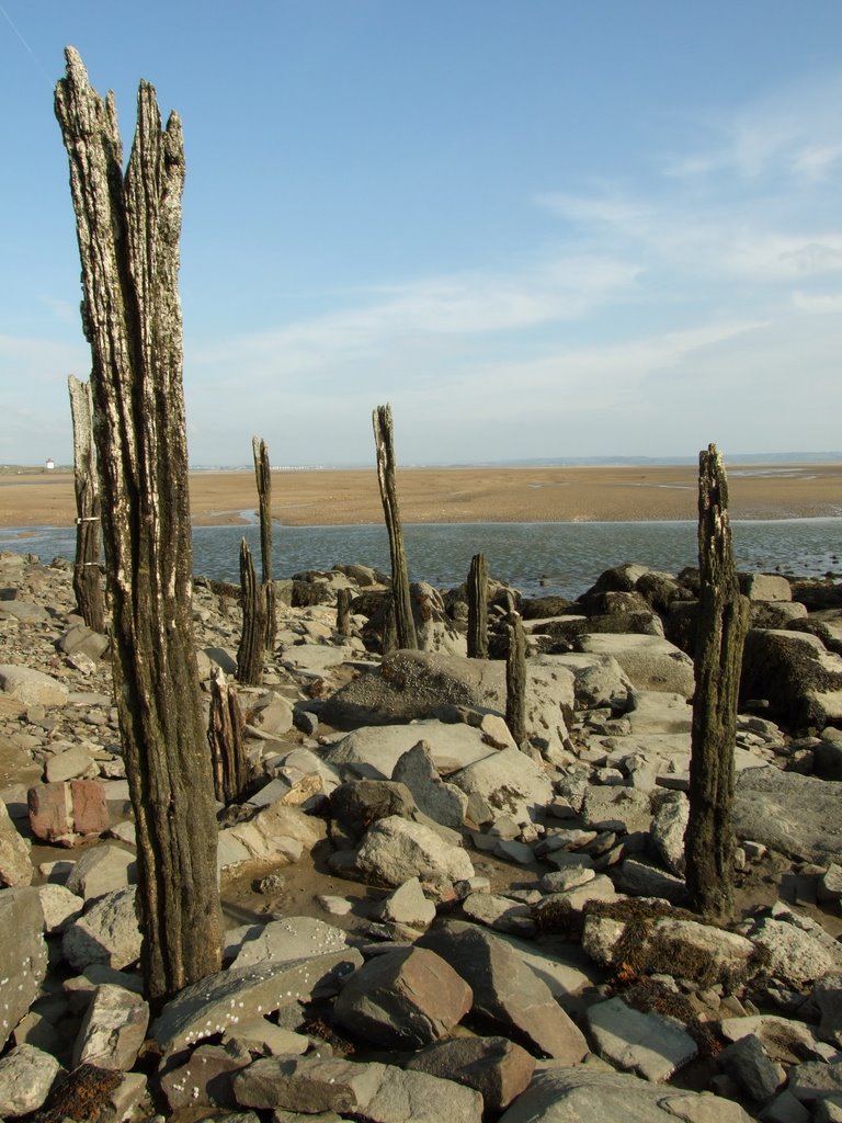
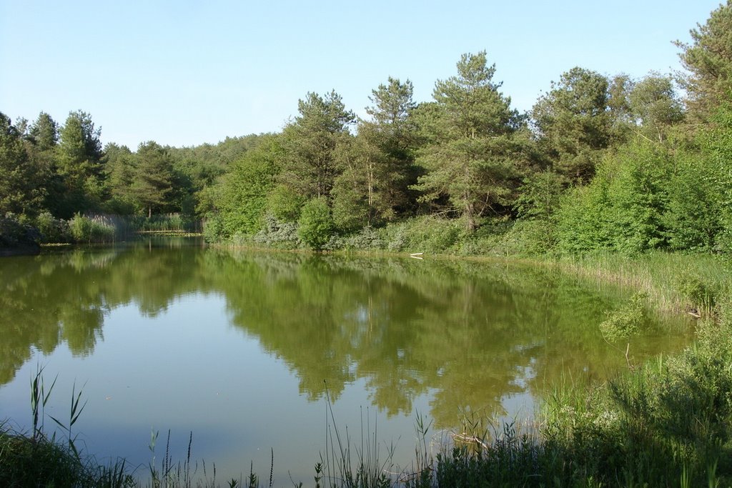
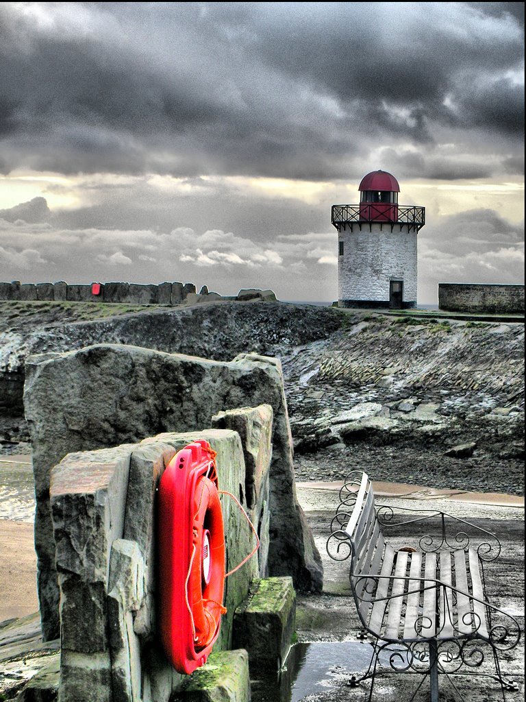
Photos of Burry Port
Burry Port Weather

Predicción: Clear sky
Temperatura: 3.7°
Humedad: 91%
Hora actual: 03:31 AM
Amanece: 06:11 AM
Anochece: 08:20 PM


