Distance between  Llangefni and
  Llanfyllin
54.75 mi Straight Distance
75.82 mi Driving Distance
1 hour 28 mins Estimated Driving Time
The straight distance between Llangefni (Wales) and Llanfyllin (Wales) is 54.75 mi, but the driving distance is 75.82 mi.
It takes to go from Llangefni to Llanfyllin.
Driving directions from Llangefni to Llanfyllin
Distance in kilometers
Straight distance: 88.09 km. Route distance: 122.00 km
Llangefni, United Kingdom
Latitude: 53.2558 // Longitude: -4.3114
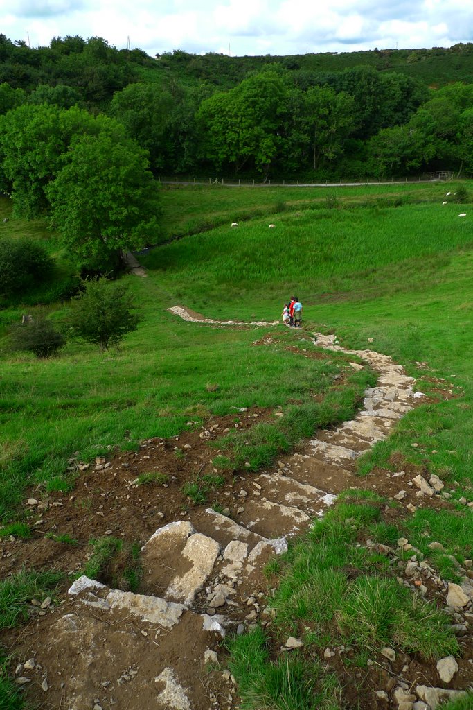
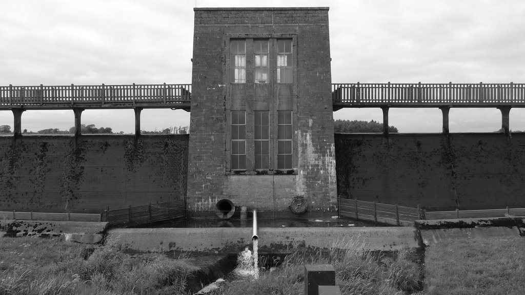
Photos of Llangefni
Llangefni Weather

Predicción: Broken clouds
Temperatura: 9.4°
Humedad: 71%
Hora actual: 09:39 AM
Amanece: 06:12 AM
Anochece: 08:20 PM
Llanfyllin, United Kingdom
Latitude: 52.7662 // Longitude: -3.27579
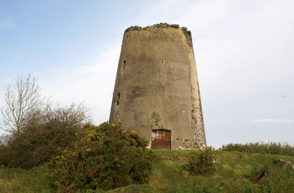
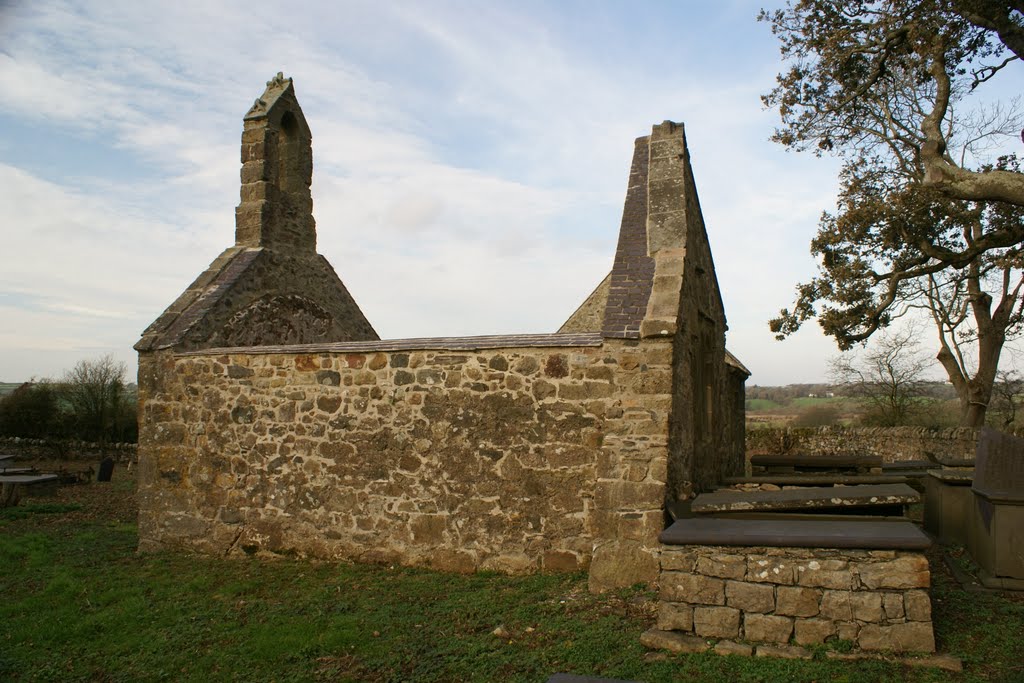
Photos of Llanfyllin
Llanfyllin Weather

Predicción: Overcast clouds
Temperatura: 9.2°
Humedad: 81%
Hora actual: 09:39 AM
Amanece: 06:09 AM
Anochece: 08:15 PM


