Distance between  Lisbellaw and
  Glenone
55.90 mi Straight Distance
65.60 mi Driving Distance
1 hour 21 mins Estimated Driving Time
The straight distance between Lisbellaw (Northern Ireland) and Glenone (Northern Ireland) is 55.90 mi, but the driving distance is 65.60 mi.
It takes to go from Lisbellaw to Glenone.
Driving directions from Lisbellaw to Glenone
Distance in kilometers
Straight distance: 89.95 km. Route distance: 105.56 km
Lisbellaw, United Kingdom
Latitude: 54.3182 // Longitude: -7.53324
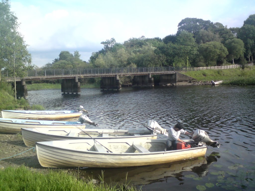
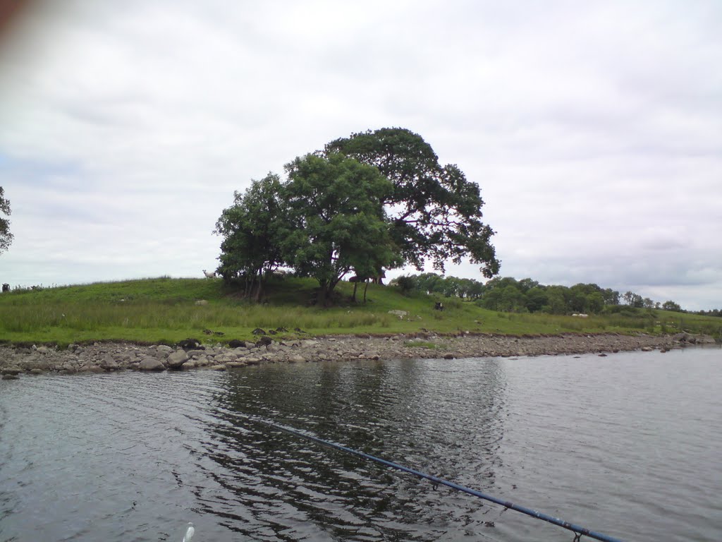
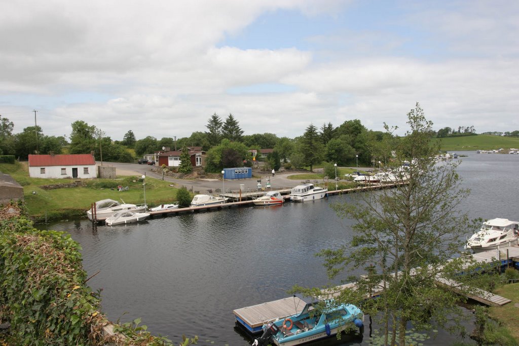
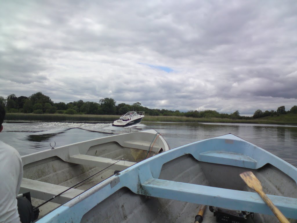
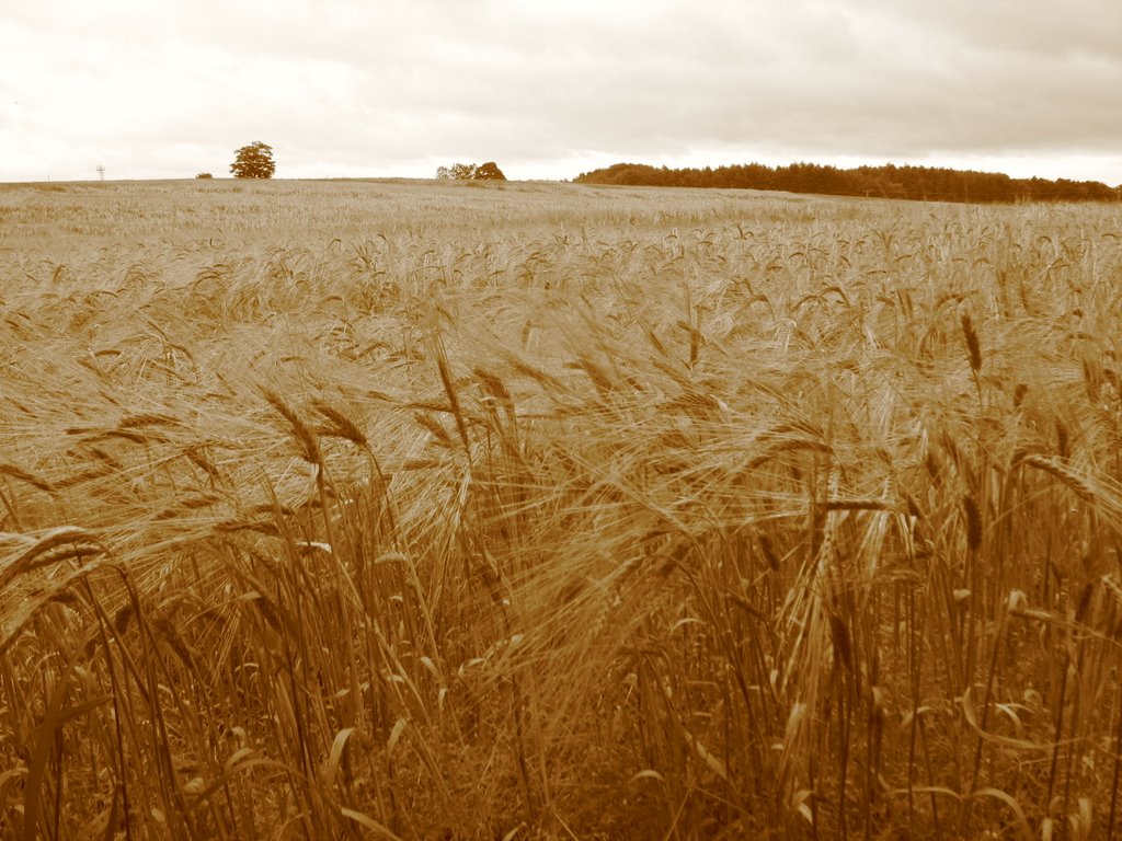
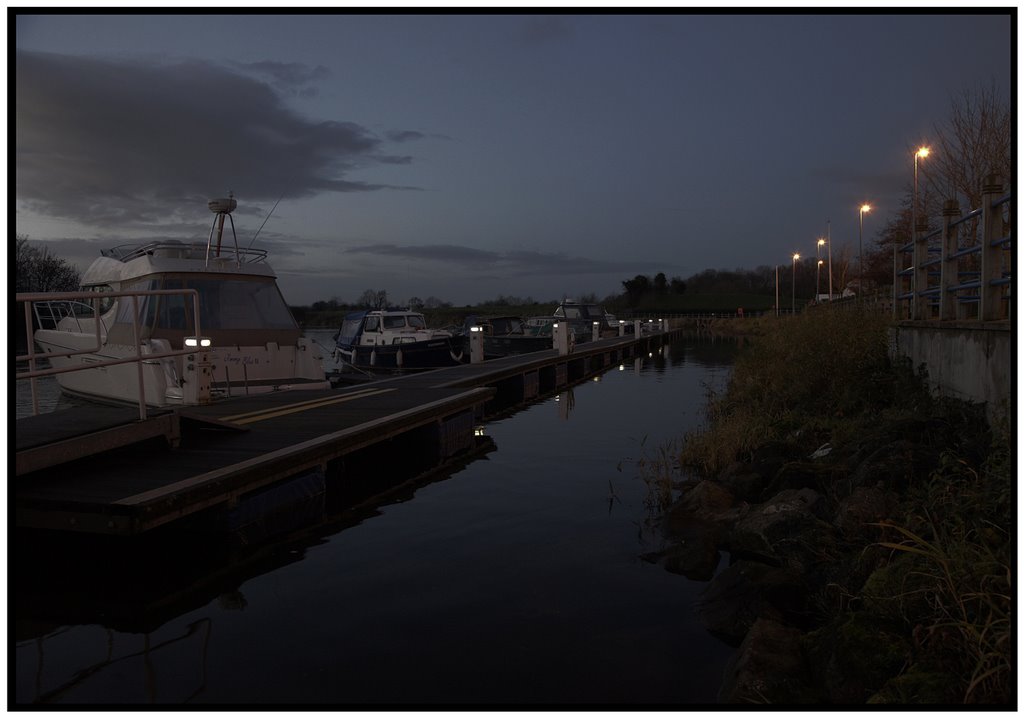
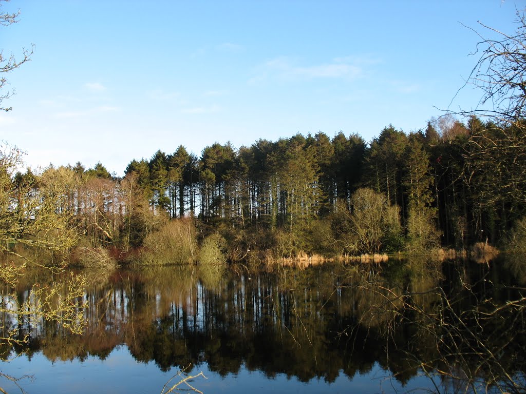
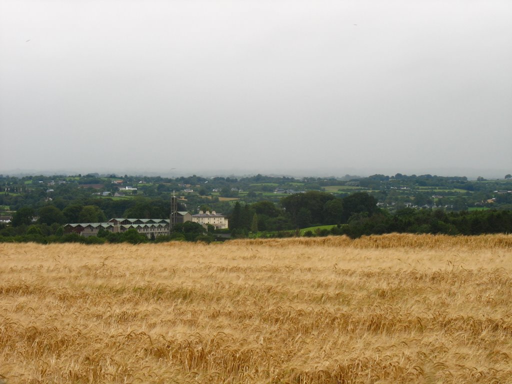
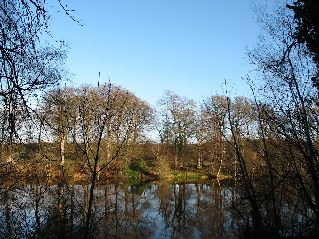
Photos of Lisbellaw
Lisbellaw Weather

Predicción: Light rain
Temperatura: 6.2°
Humedad: 81%
Hora actual: 12:00 AM
Amanece: 05:23 AM
Anochece: 07:36 PM
Glenone, United Kingdom
Latitude: 54.8666 // Longitude: -6.50649
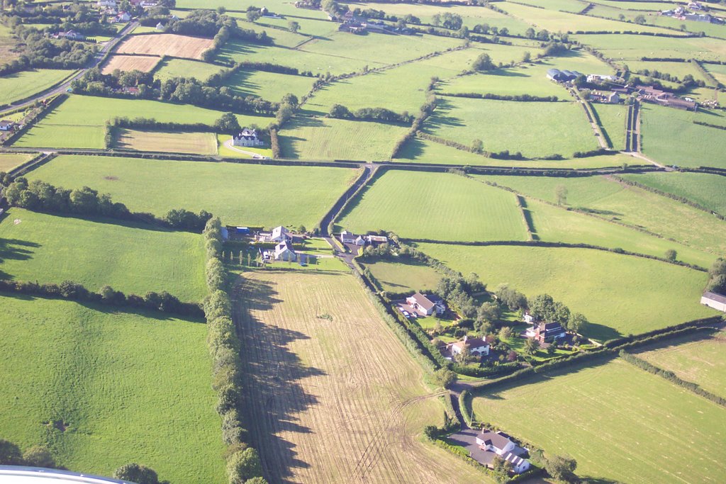
Photos of Glenone
Glenone Weather

Predicción: Scattered clouds
Temperatura: 7.3°
Humedad: 80%
Hora actual: 07:42 PM
Amanece: 06:17 AM
Anochece: 08:33 PM


