Distance between  Kilkeel and
  Kesh
Kesh
76.15 mi Straight Distance
88.52 mi Driving Distance
1 hour 47 mins Estimated Driving Time
The straight distance between Kilkeel (Northern Ireland) and Kesh (Northern Ireland) is 76.15 mi, but the driving distance is 88.52 mi.
It takes 2 hours 11 mins to go from Kilkeel to Kesh.
Driving directions from Kilkeel to Kesh
Distance in kilometers
Straight distance: 122.53 km. Route distance: 142.42 km
Kilkeel, United Kingdom
Latitude: 54.0663 // Longitude: -6.00059
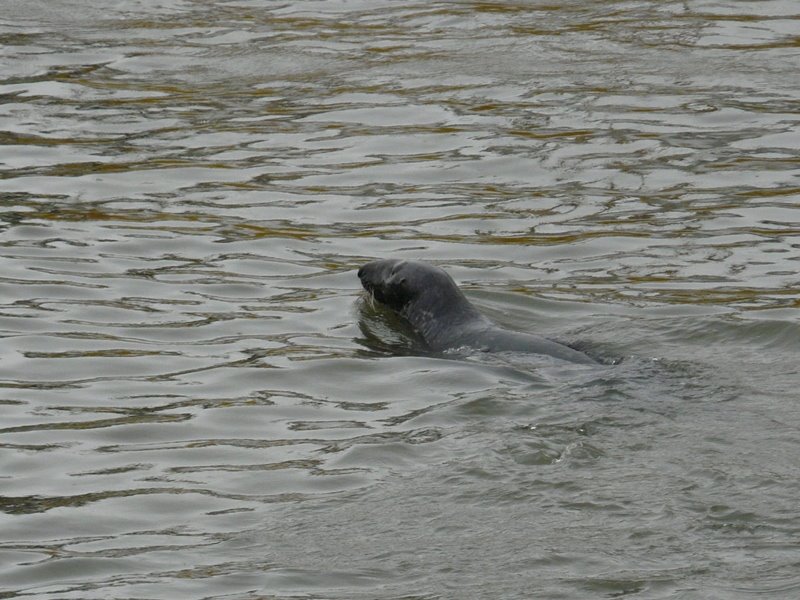
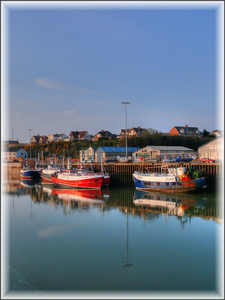
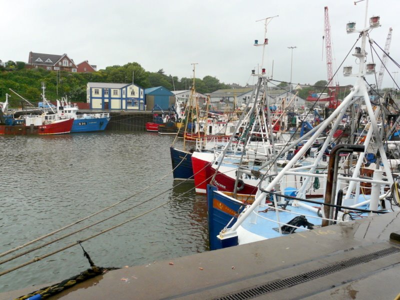
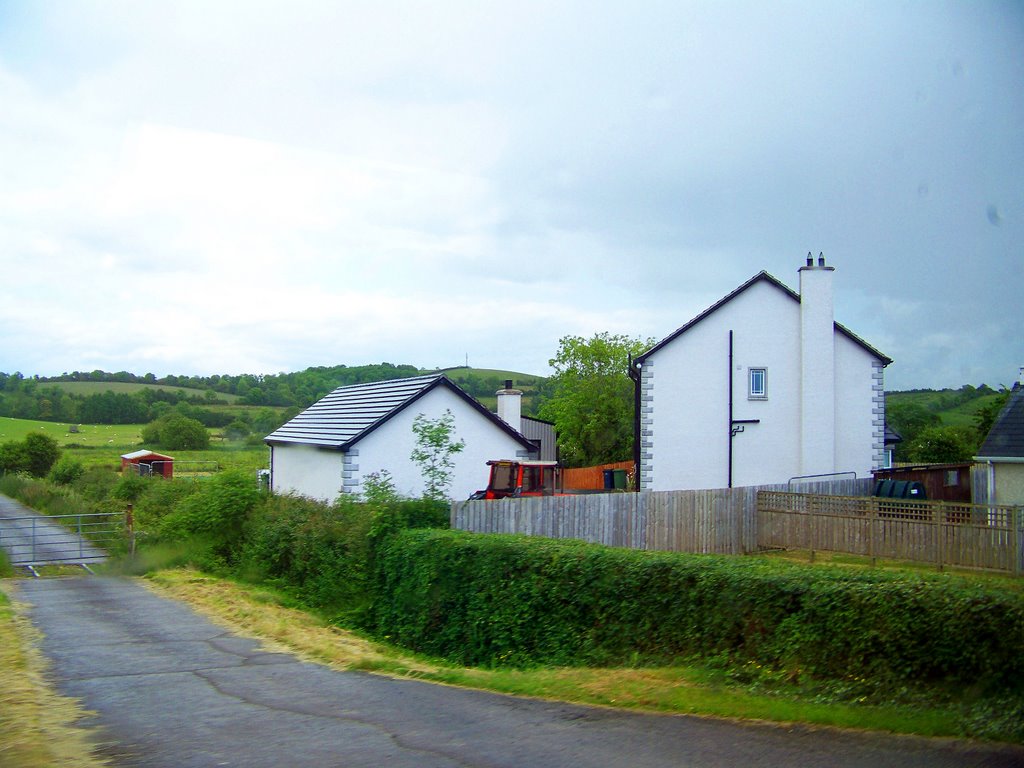
Photos of Kilkeel
Kilkeel Weather

Predicción: Light rain
Temperatura: 7.5°
Humedad: 78%
Hora actual: 07:38 PM
Amanece: 06:17 AM
Anochece: 08:29 PM
Kesh, United Kingdom
Latitude: 54.5207 // Longitude: -7.7211
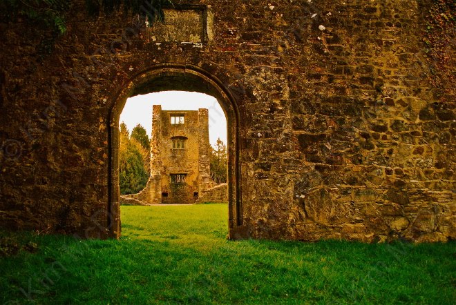
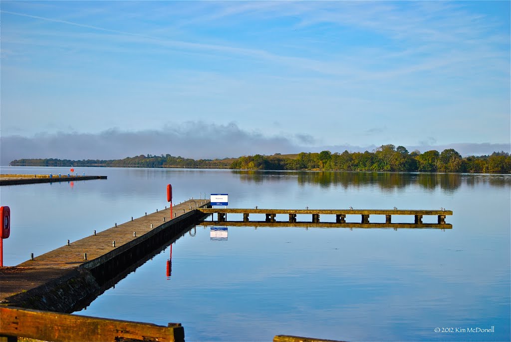
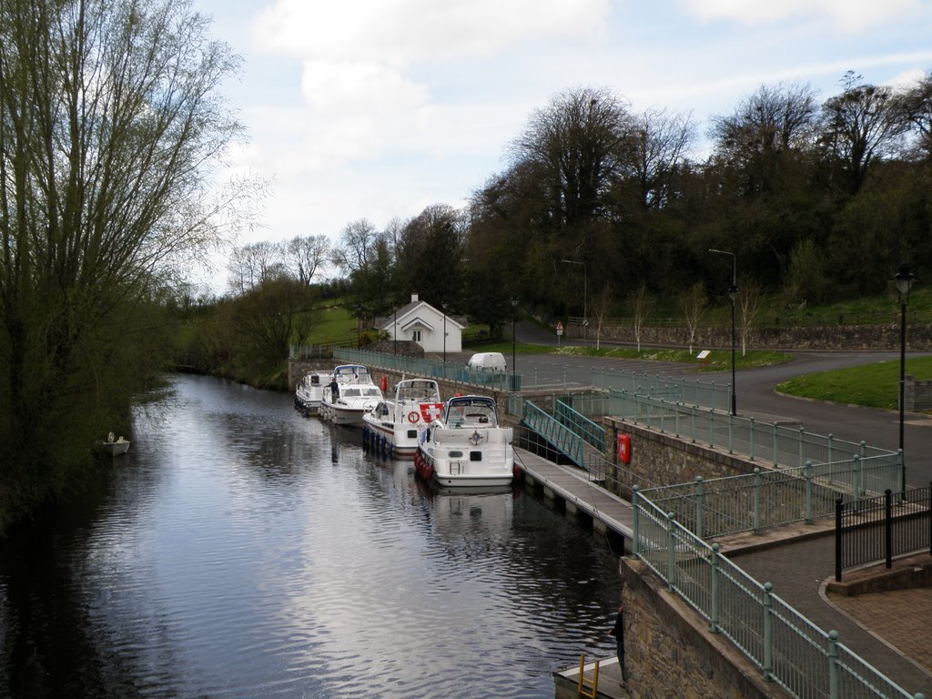
Photos of Kesh
Kesh Weather

Predicción: Few clouds
Temperatura: 6.8°
Humedad: 72%
Hora actual: 01:00 AM
Amanece: 06:23 AM
Anochece: 08:37 PM


