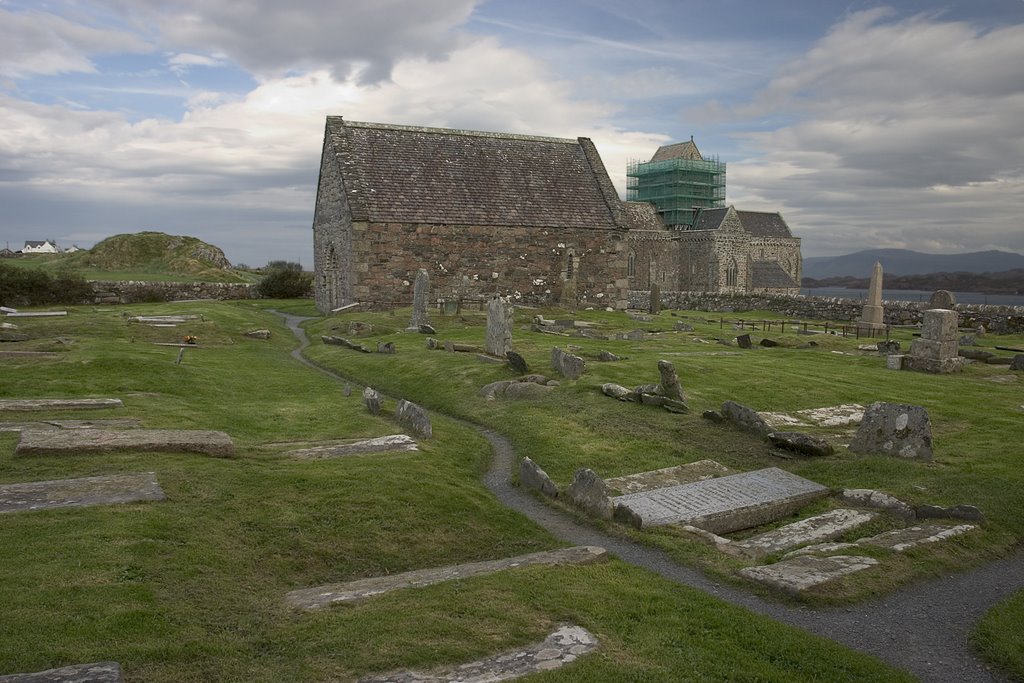
Distance between  Isle of Iona and
  Whaley Bridge
272.09 mi Straight Distance
374.04 mi Driving Distance
6 hours 56 mins Estimated Driving Time
The straight distance between Isle of Iona (Scotland) and Whaley Bridge (England) is 272.09 mi, but the driving distance is 374.04 mi.
It takes to go from Isle of Iona to Whaley Bridge.
Driving directions from Isle of Iona to Whaley Bridge
Distance in kilometers
Straight distance: 437.79 km. Route distance: 601.83 km
Isle of Iona, United Kingdom
Latitude: 56.3347 // Longitude: -6.4041
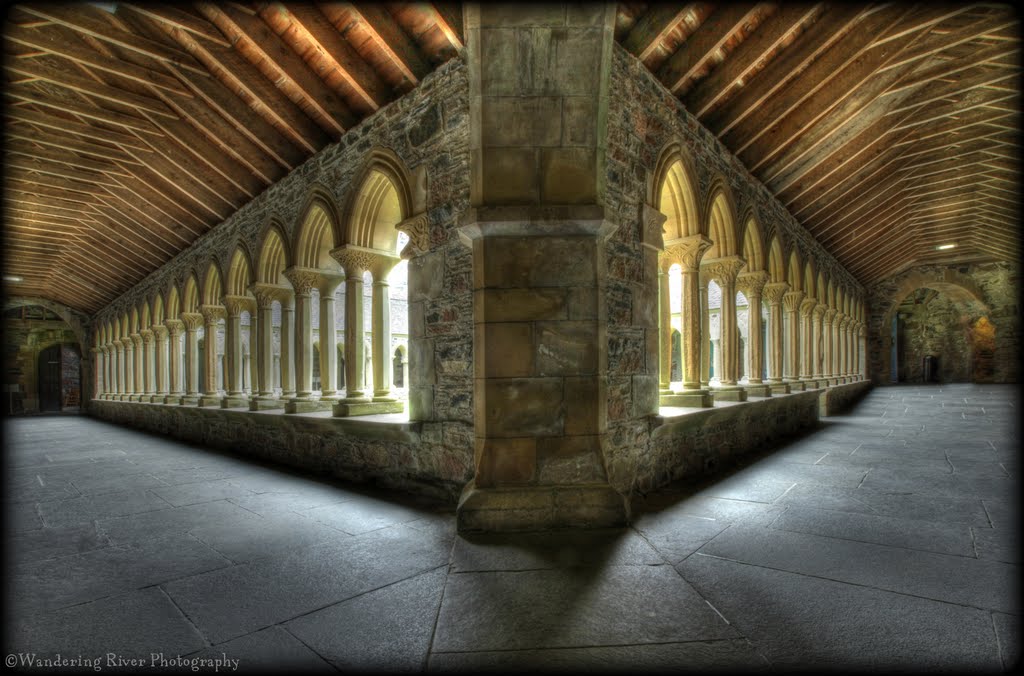
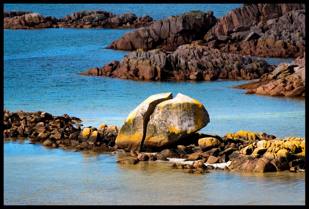
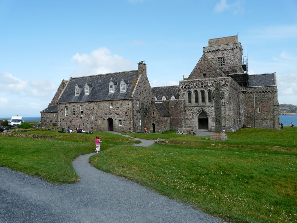
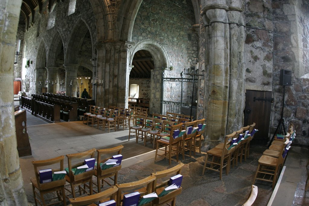
Photos of Isle of Iona
Isle of Iona Weather

Predicción: Overcast clouds
Temperatura: 7.5°
Humedad: 72%
Hora actual: 12:00 AM
Amanece: 05:08 AM
Anochece: 07:41 PM
Whaley Bridge, United Kingdom
Latitude: 53.3291 // Longitude: -1.98214
Photos of Whaley Bridge
Whaley Bridge Weather

Predicción: Clear sky
Temperatura: 3.0°
Humedad: 82%
Hora actual: 01:06 AM
Amanece: 05:58 AM
Anochece: 08:15 PM


