Distance between  High Wycombe and
  Hemsworth
139.59 mi Straight Distance
175.67 mi Driving Distance
2 hours 46 mins Estimated Driving Time
The straight distance between High Wycombe (England) and Hemsworth (England) is 139.59 mi, but the driving distance is 175.67 mi.
It takes to go from High Wycombe to Hemsworth.
Driving directions from High Wycombe to Hemsworth
Distance in kilometers
Straight distance: 224.61 km. Route distance: 282.65 km
High Wycombe, United Kingdom
Latitude: 51.6286 // Longitude: -0.748229
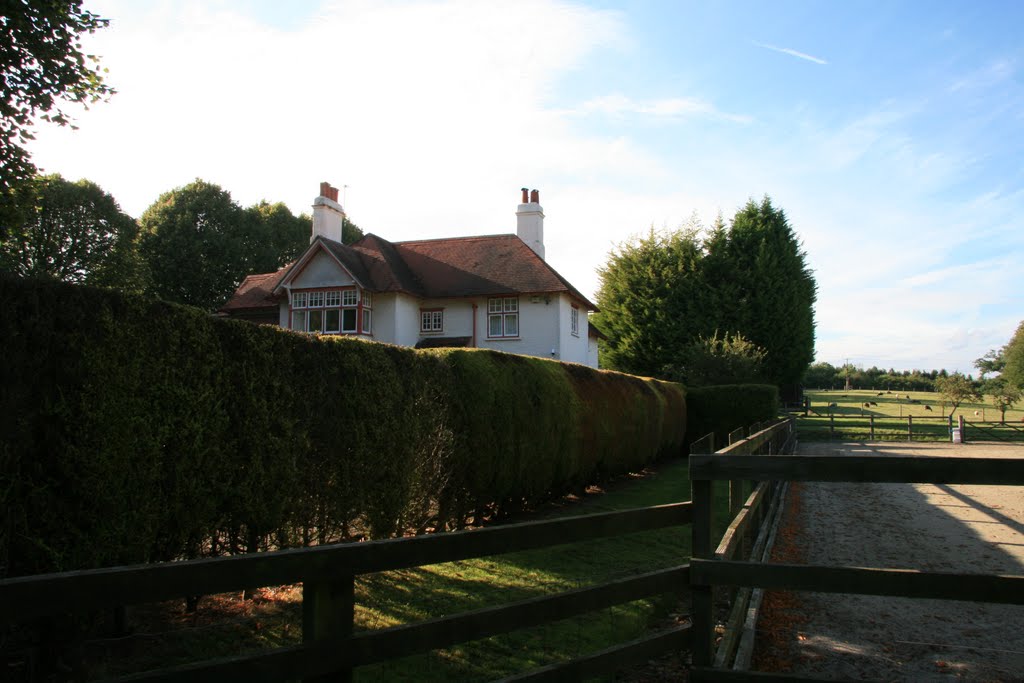
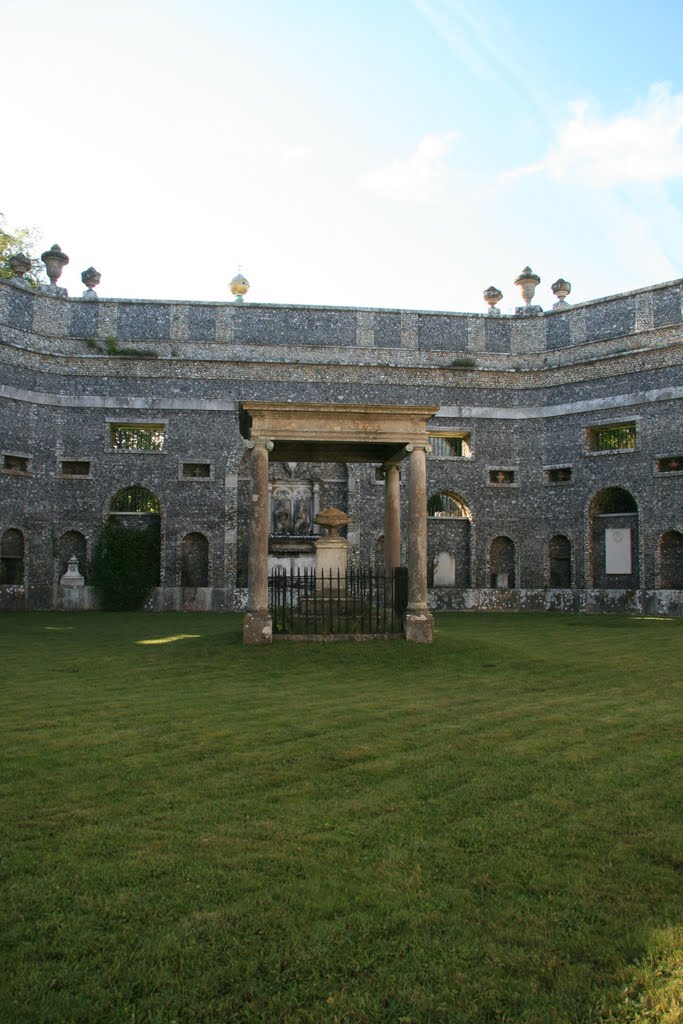
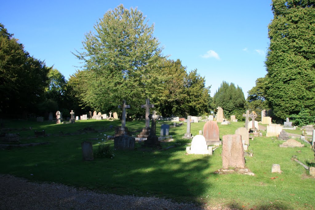
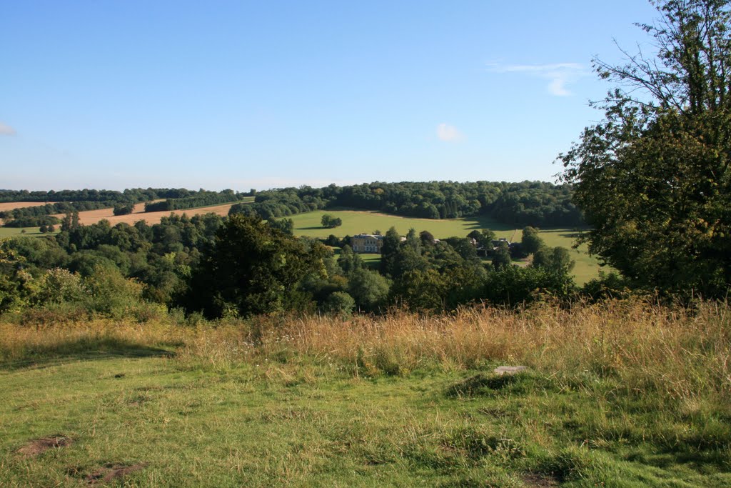
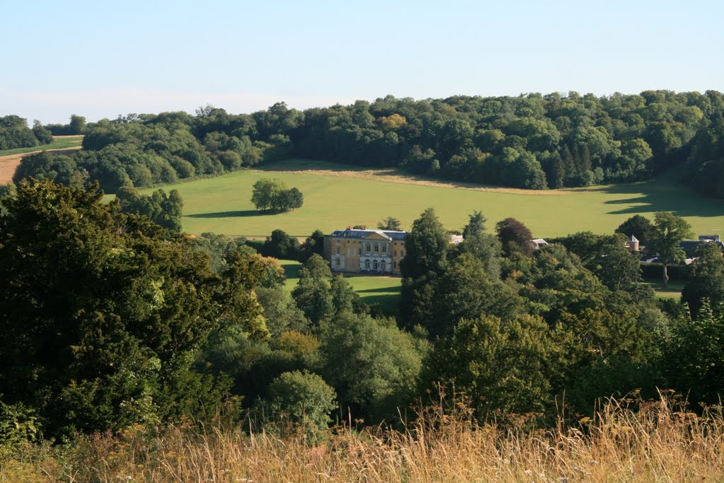
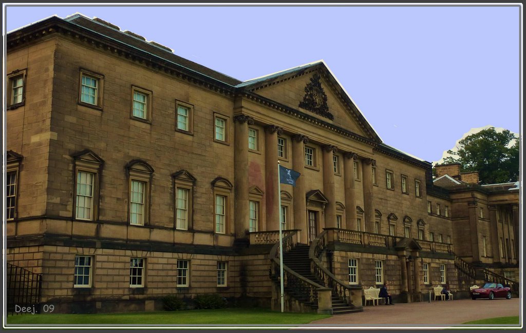
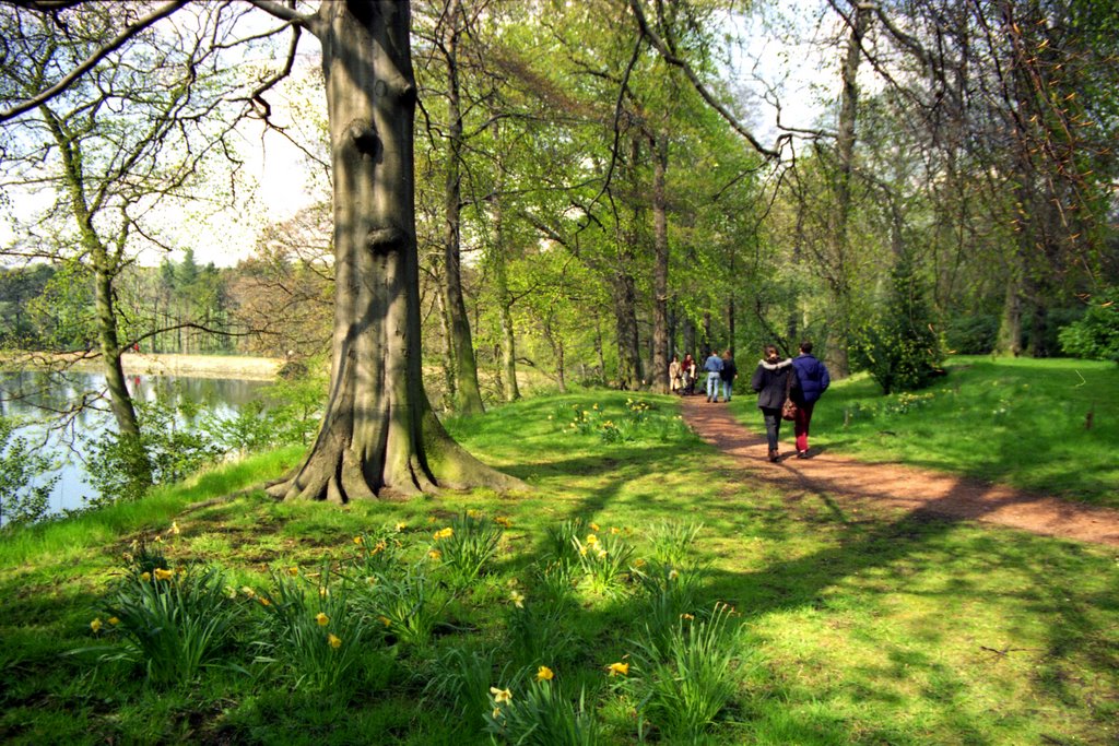
Photos of High Wycombe
High Wycombe Weather

Predicción: Scattered clouds
Temperatura: 9.6°
Humedad: 80%
Hora actual: 09:22 AM
Amanece: 06:02 AM
Anochece: 08:02 PM
Hemsworth, United Kingdom
Latitude: 53.6154 // Longitude: -1.35269
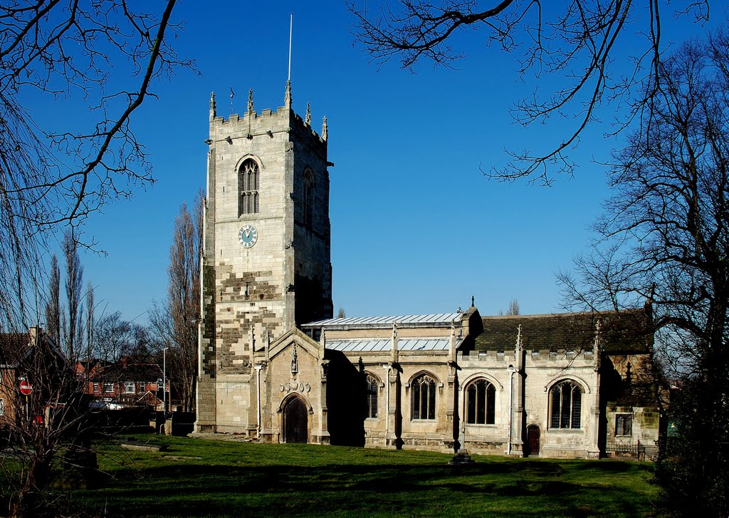
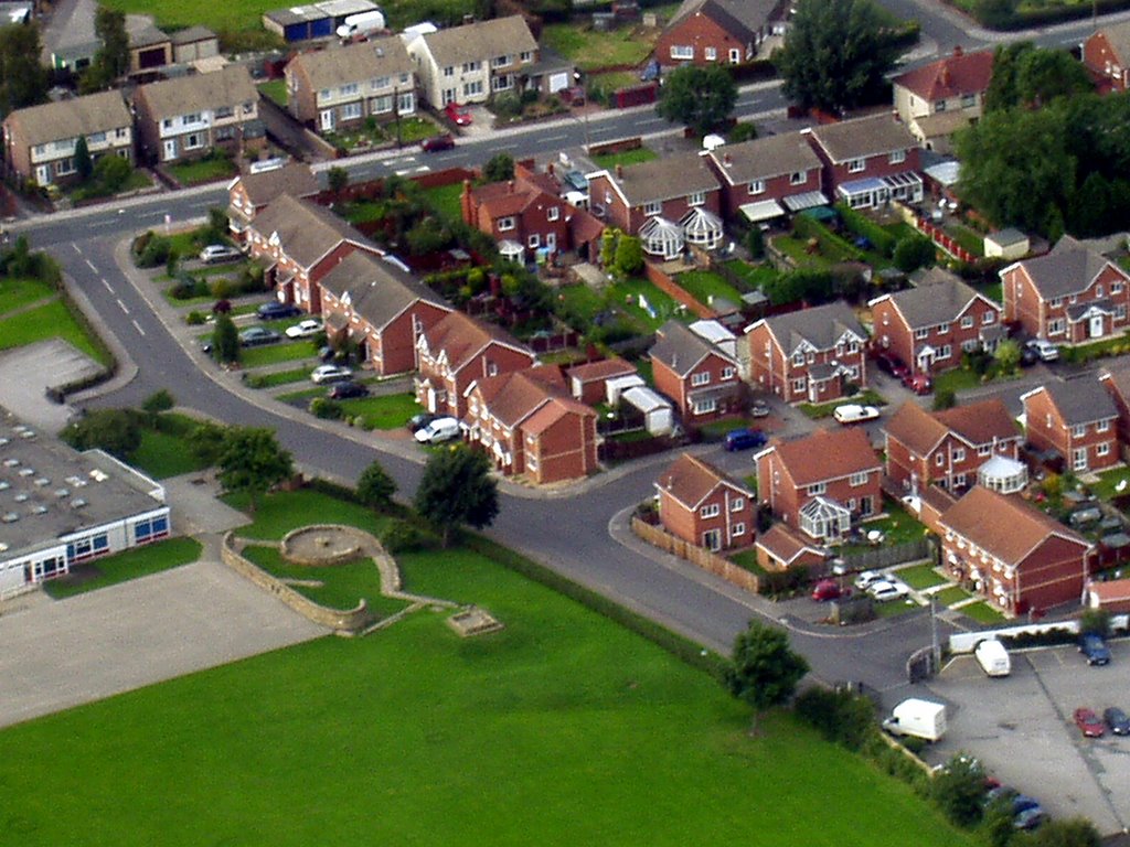
Photos of Hemsworth
Hemsworth Weather

Predicción: Overcast clouds
Temperatura: 8.9°
Humedad: 77%
Hora actual: 09:22 AM
Amanece: 06:00 AM
Anochece: 08:09 PM


