Distance between  Henley-on-Thames and
  Hemel Hempstead
24.60 mi Straight Distance
39.46 mi Driving Distance
40 minutes Estimated Driving Time
The straight distance between Henley-on-Thames (England) and Hemel Hempstead (England) is 24.60 mi, but the driving distance is 39.46 mi.
It takes 47 mins to go from Henley-on-Thames to Hemel Hempstead.
Driving directions from Henley-on-Thames to Hemel Hempstead
Distance in kilometers
Straight distance: 39.57 km. Route distance: 63.49 km
Henley-on-Thames, United Kingdom
Latitude: 51.5358 // Longitude: -0.902894
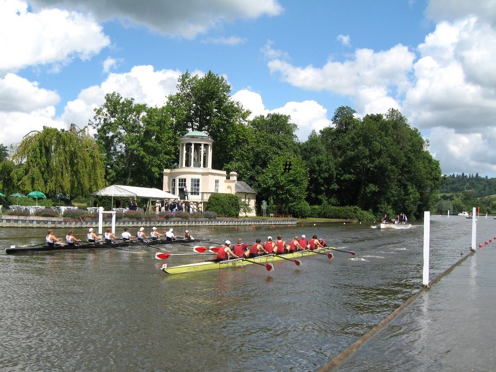
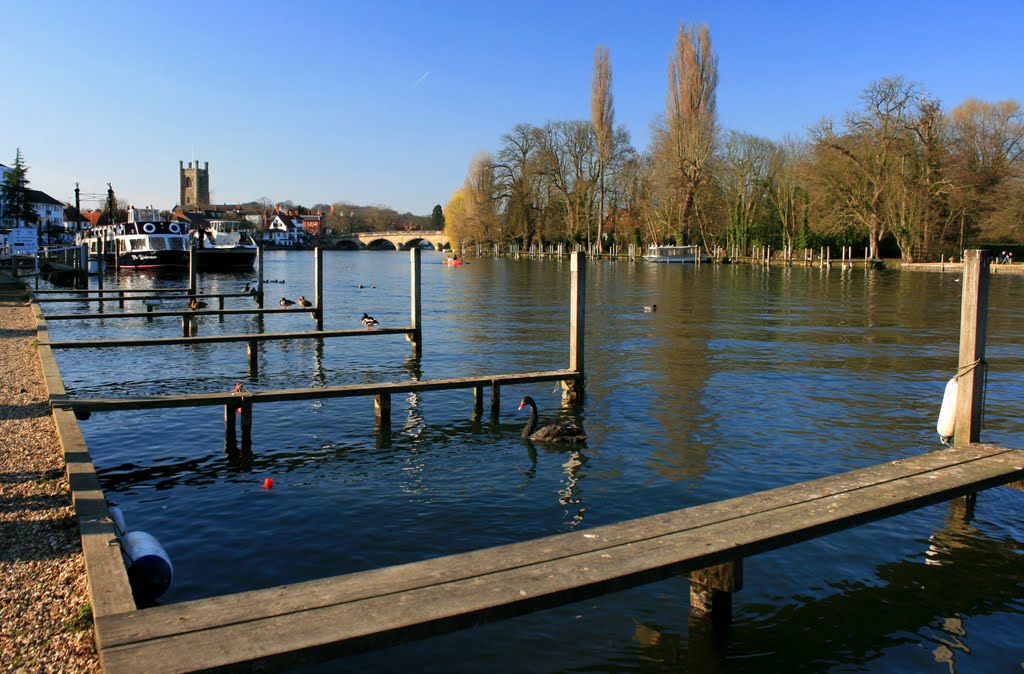
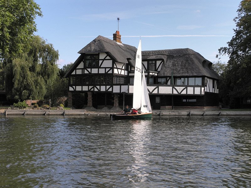
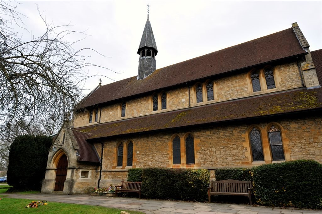
Photos of Henley-on-Thames
Henley-on-Thames Weather

Predicción: Scattered clouds
Temperatura: 10.9°
Humedad: 72%
Hora actual: 10:33 AM
Amanece: 06:03 AM
Anochece: 08:03 PM
Hemel Hempstead, United Kingdom
Latitude: 51.7532 // Longitude: -0.448632
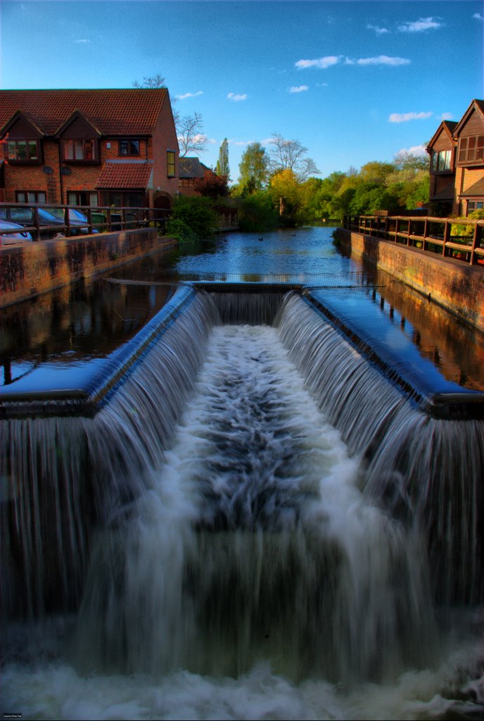
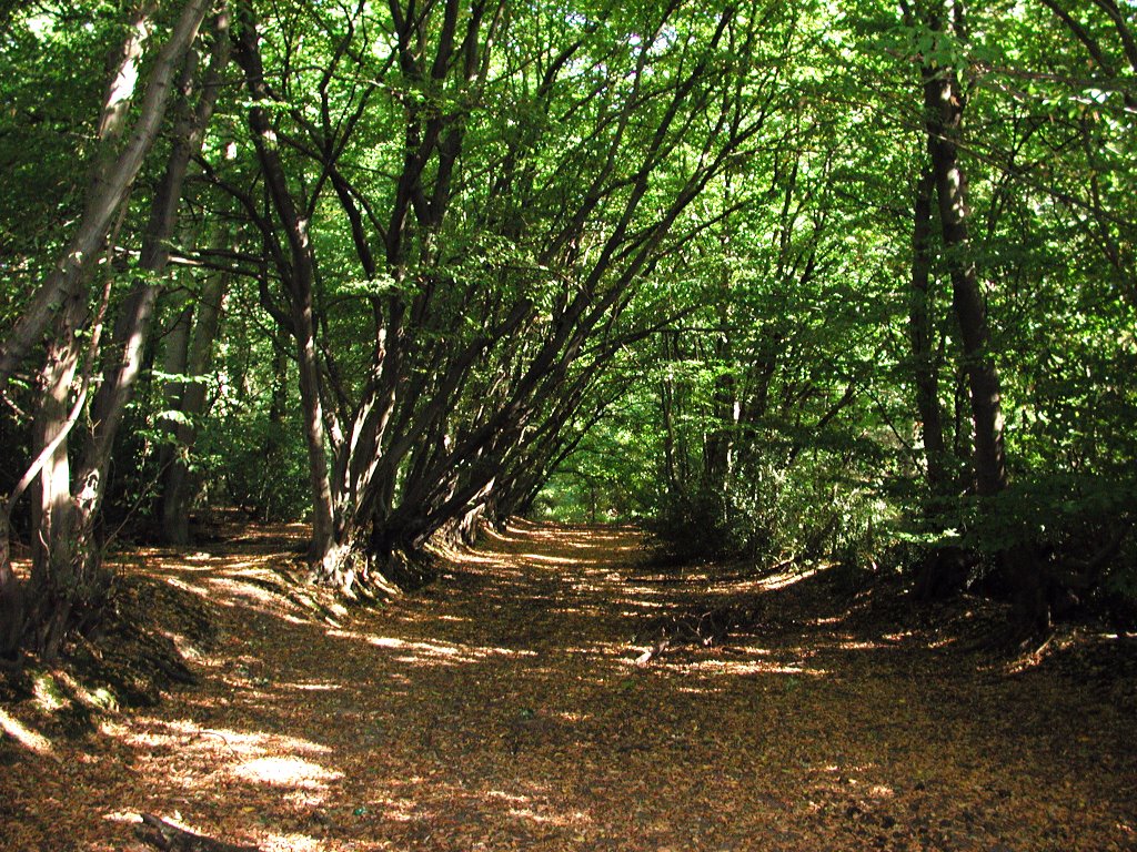
Photos of Hemel Hempstead
Hemel Hempstead Weather

Predicción: Overcast clouds
Temperatura: 9.9°
Humedad: 76%
Hora actual: 10:33 AM
Amanece: 06:00 AM
Anochece: 08:01 PM


