Distance between  Halesowen and
  Glastonbury
94.40 mi Straight Distance
109.83 mi Driving Distance
1 hour 58 mins Estimated Driving Time
The straight distance between Halesowen (England) and Glastonbury (England) is 94.40 mi, but the driving distance is 109.83 mi.
It takes to go from Halesowen to Glastonbury.
Driving directions from Halesowen to Glastonbury
Distance in kilometers
Straight distance: 151.89 km. Route distance: 176.72 km
Halesowen, United Kingdom
Latitude: 52.4498 // Longitude: -2.05053
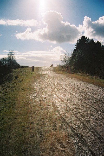
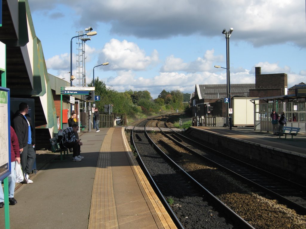
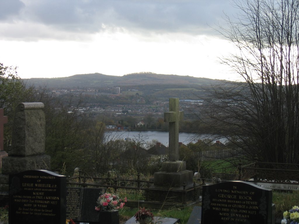
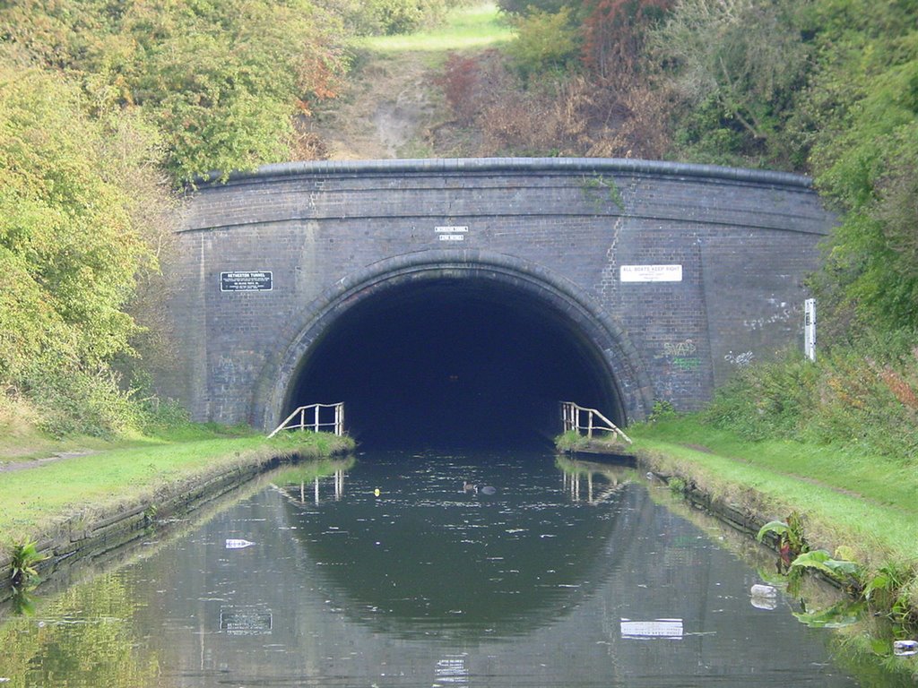
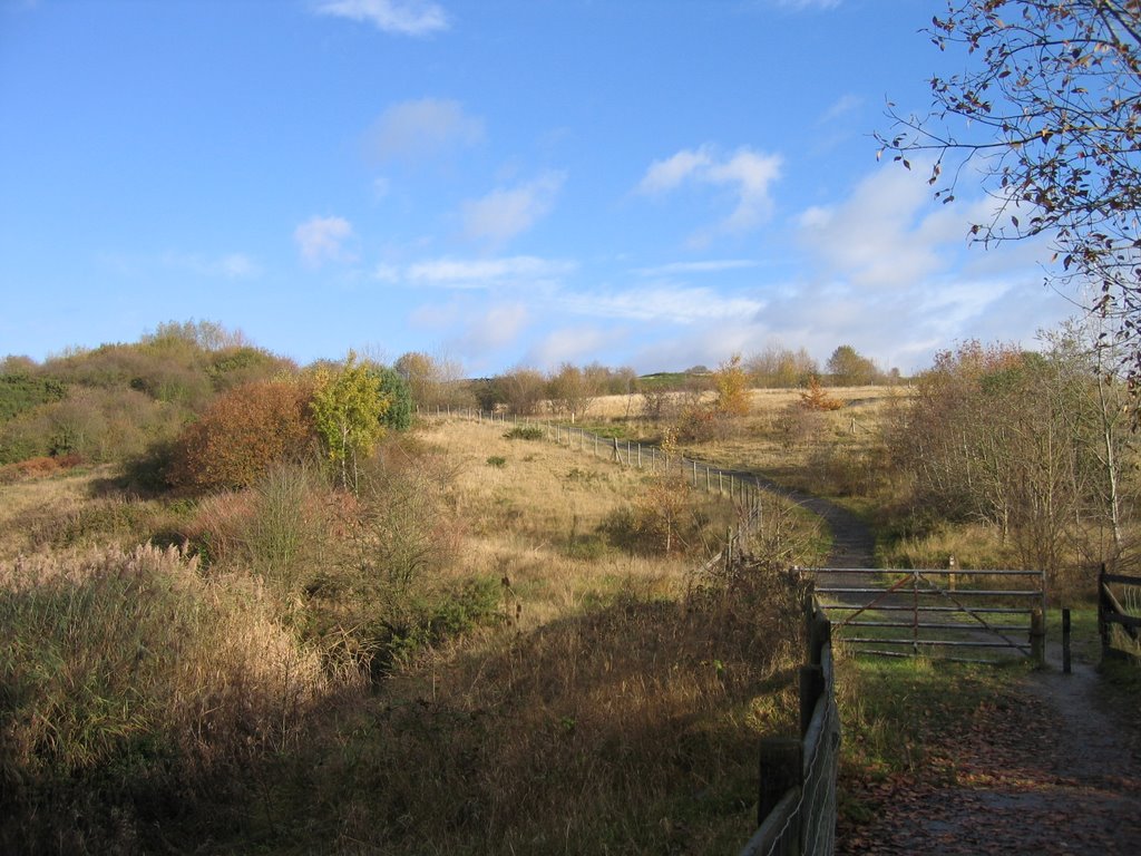
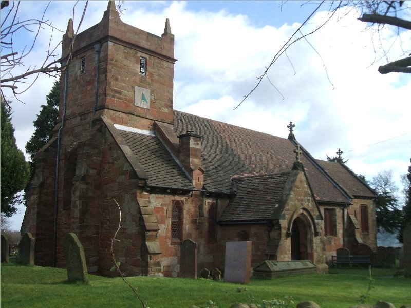
Photos of Halesowen
Halesowen Weather

Predicción: Overcast clouds
Temperatura: 10.7°
Humedad: 60%
Hora actual: 12:07 PM
Amanece: 06:01 AM
Anochece: 08:13 PM
Glastonbury, United Kingdom
Latitude: 51.1474 // Longitude: -2.71845
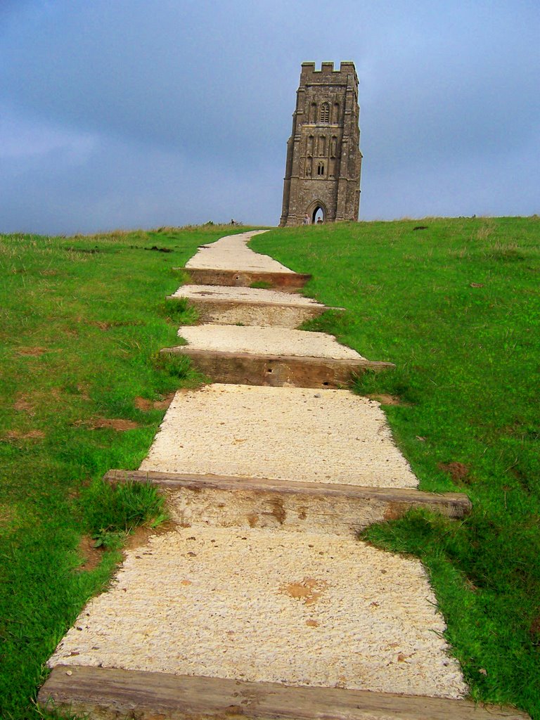
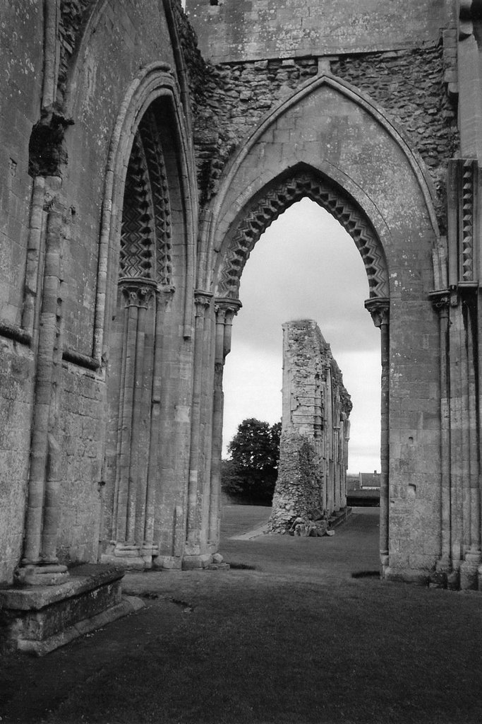
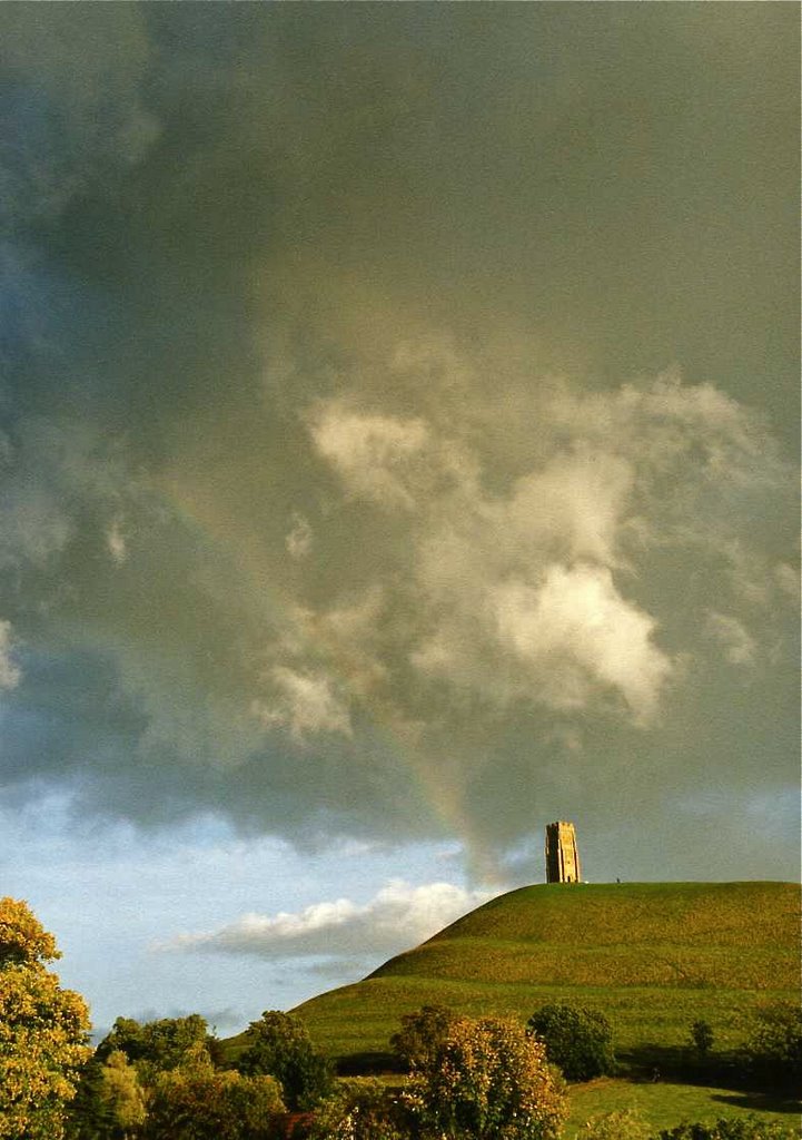
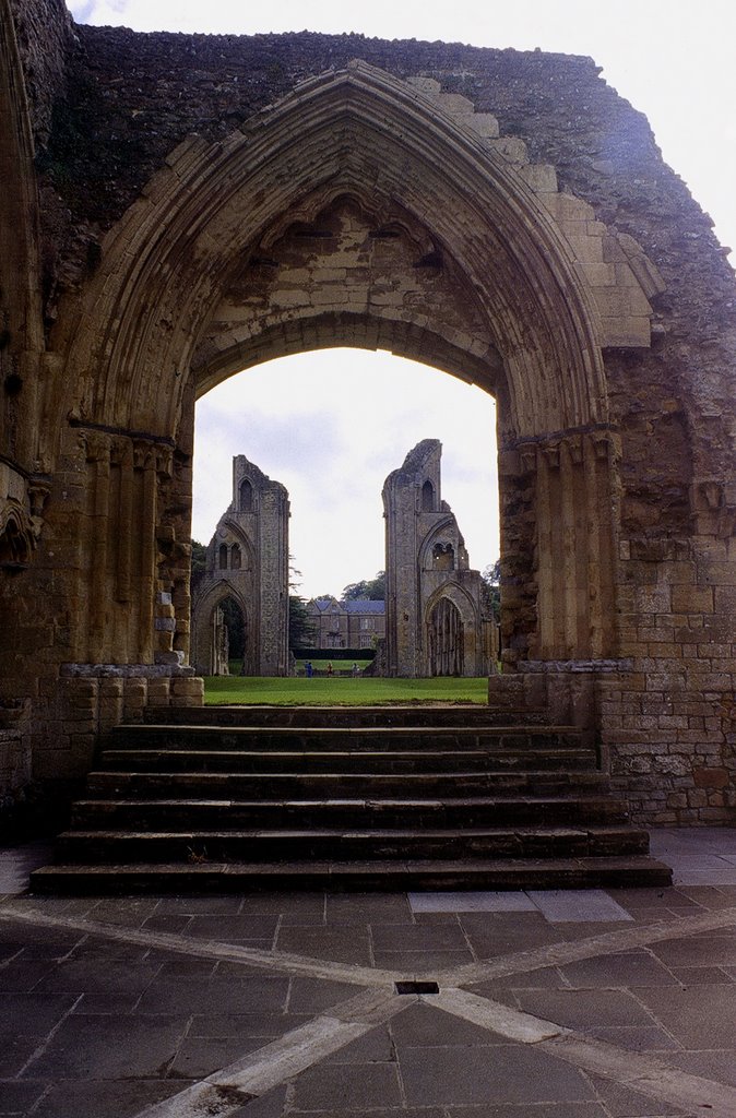
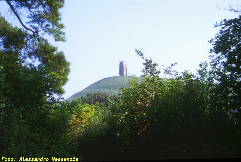
Photos of Glastonbury
Glastonbury Weather

Predicción: Few clouds
Temperatura: 10.8°
Humedad: 66%
Hora actual: 12:07 PM
Amanece: 06:07 AM
Anochece: 08:12 PM


