Distance between  Glack and
  Drumquin
33.43 mi Straight Distance
45.59 mi Driving Distance
58 minutes Estimated Driving Time
The straight distance between Glack (Northern Ireland) and Drumquin (Northern Ireland) is 33.43 mi, but the driving distance is 45.59 mi.
It takes to go from Glack to Drumquin.
Driving directions from Glack to Drumquin
Distance in kilometers
Straight distance: 53.79 km. Route distance: 73.35 km
Glack, United Kingdom
Latitude: 55.02 // Longitude: -7.02763
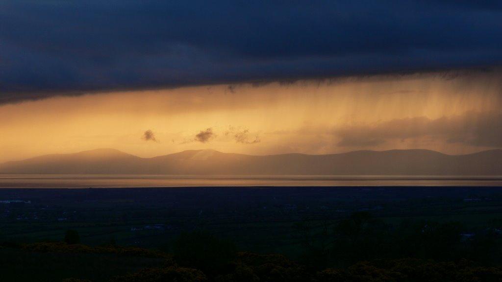
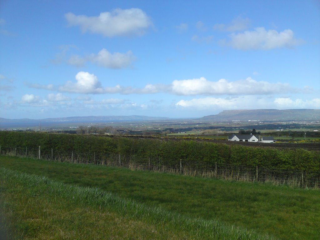
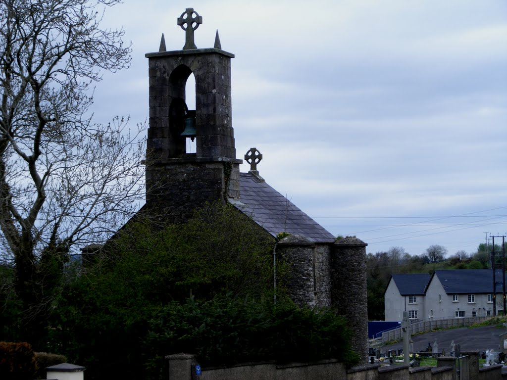
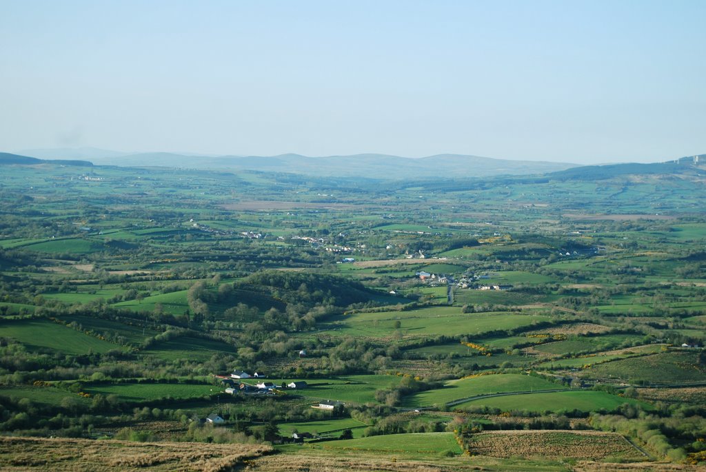
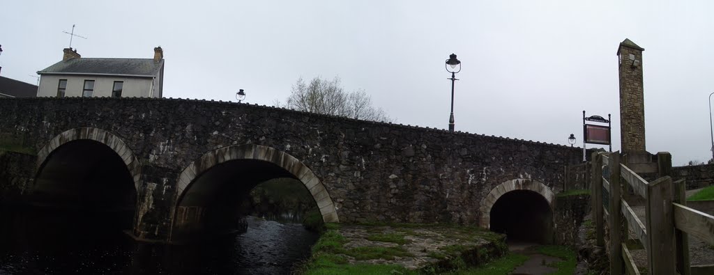
Photos of Glack
Glack Weather

Predicción: Overcast clouds
Temperatura: 9.4°
Humedad: 100%
Hora actual: 08:57 PM
Amanece: 06:14 AM
Anochece: 08:39 PM
Drumquin, United Kingdom
Latitude: 54.616 // Longitude: -7.48974
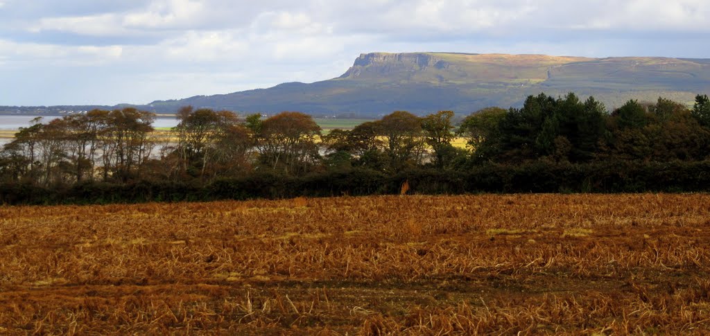
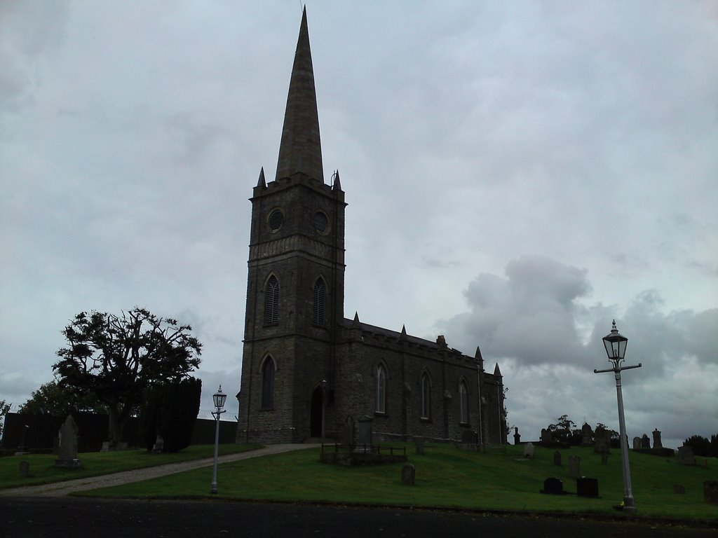
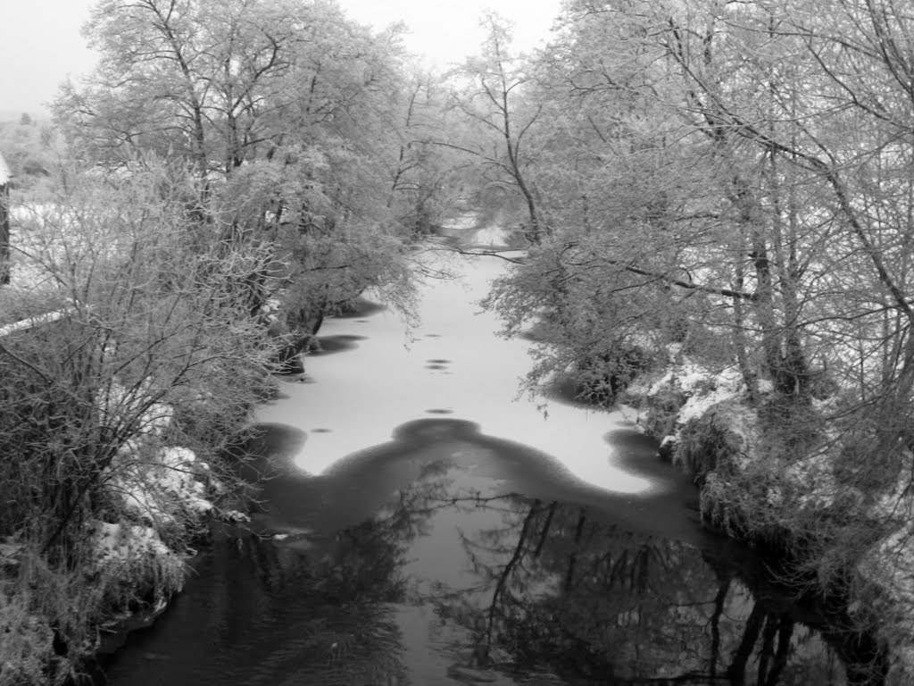
Photos of Drumquin
Drumquin Weather

Predicción: Overcast clouds
Temperatura: 9.4°
Humedad: 92%
Hora actual: 01:00 AM
Amanece: 06:17 AM
Anochece: 08:40 PM


