Distance between  Gillingham and
  Dorchester
138.09 mi Straight Distance
165.52 mi Driving Distance
2 hours 39 mins Estimated Driving Time
The straight distance between Gillingham (England) and Dorchester (England) is 138.09 mi, but the driving distance is 165.52 mi.
It takes 2 hours 59 mins to go from Gillingham to Dorchester.
Driving directions from Gillingham to Dorchester
Distance in kilometers
Straight distance: 222.19 km. Route distance: 266.32 km
Gillingham, United Kingdom
Latitude: 51.3863 // Longitude: 0.551438
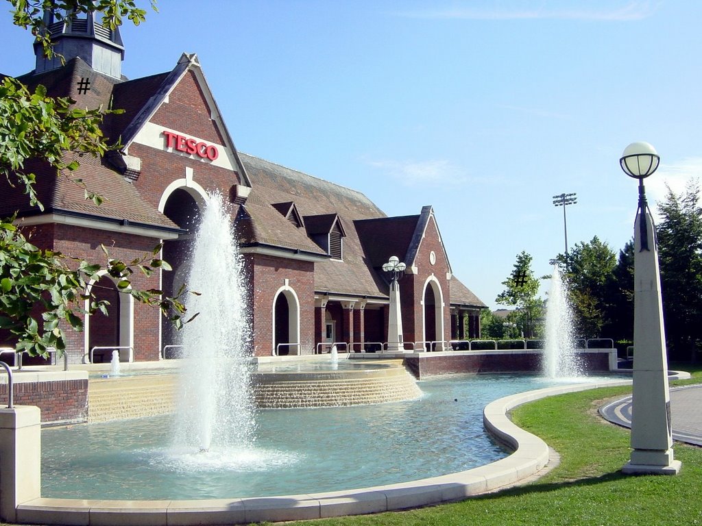
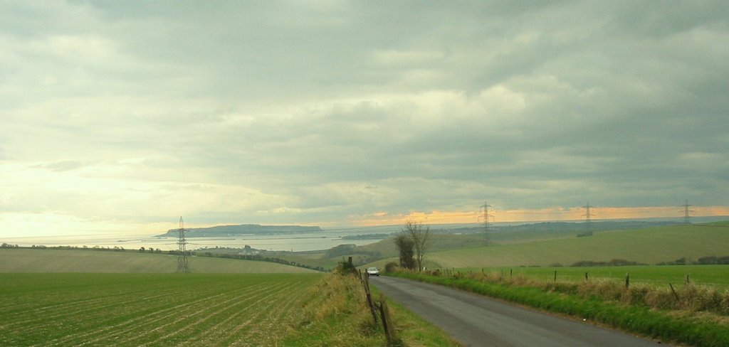
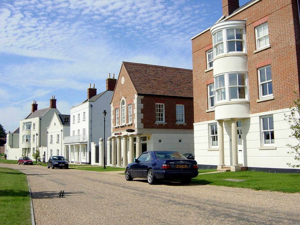
Photos of Gillingham
Gillingham Weather

Predicción: Few clouds
Temperatura: 6.6°
Humedad: 84%
Hora actual: 08:13 AM
Amanece: 05:53 AM
Anochece: 08:00 PM
Dorchester, United Kingdom
Latitude: 50.7112 // Longitude: -2.44118
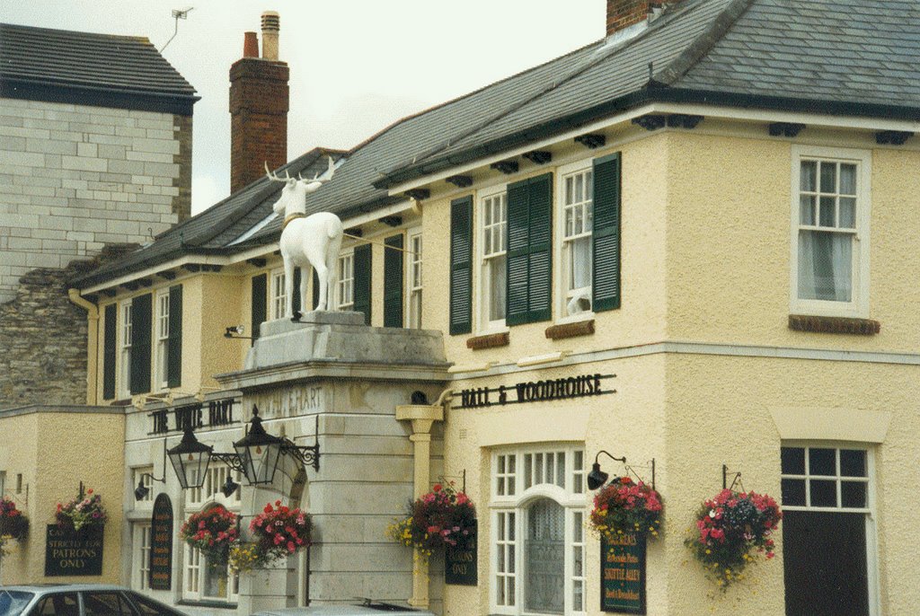
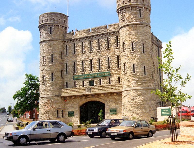
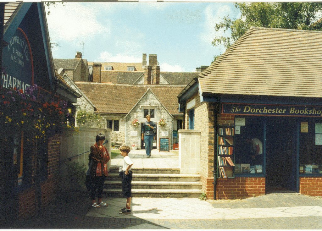
Photos of Dorchester
Dorchester Weather

Predicción: Few clouds
Temperatura: 5.5°
Humedad: 85%
Hora actual: 08:13 AM
Amanece: 06:06 AM
Anochece: 08:10 PM


