Distance between  Galashiels and
  Watlington
284.63 mi Straight Distance
338.51 mi Driving Distance
5 hours 17 mins Estimated Driving Time
The straight distance between Galashiels (Scotland) and Watlington (England) is 284.63 mi, but the driving distance is 338.51 mi.
It takes to go from Galashiels to Watlington.
Driving directions from Galashiels to Watlington
Distance in kilometers
Straight distance: 457.97 km. Route distance: 544.66 km
Galashiels, United Kingdom
Latitude: 55.6237 // Longitude: -2.81445
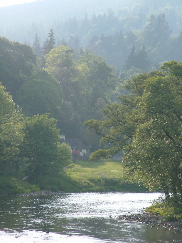
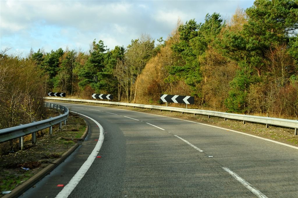
Photos of Galashiels
Galashiels Weather

Predicción: Overcast clouds
Temperatura: 7.2°
Humedad: 89%
Hora actual: 02:40 PM
Amanece: 05:56 AM
Anochece: 08:24 PM
Watlington, United Kingdom
Latitude: 51.6451 // Longitude: -1.01055
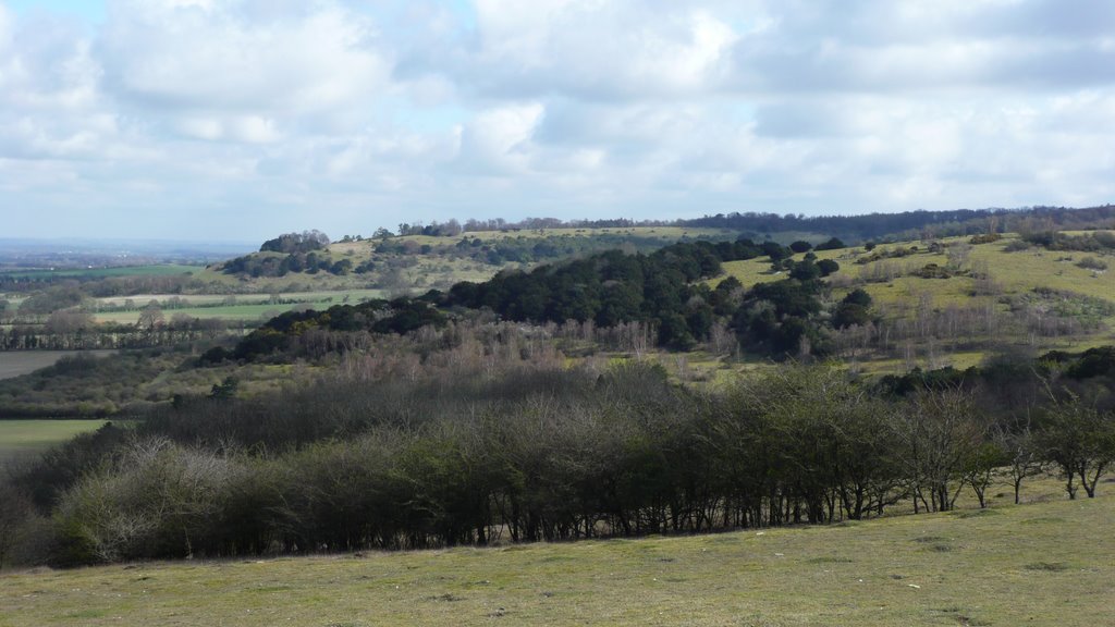
Photos of Watlington
Watlington Weather

Predicción: Broken clouds
Temperatura: 12.8°
Humedad: 52%
Hora actual: 02:40 PM
Amanece: 05:59 AM
Anochece: 08:07 PM


