Distance between  Frodsham and
  Eastleigh
170.92 mi Straight Distance
226.04 mi Driving Distance
3 hours 22 mins Estimated Driving Time
The straight distance between Frodsham (England) and Eastleigh (England) is 170.92 mi, but the driving distance is 226.04 mi.
It takes to go from Frodsham to Eastleigh.
Driving directions from Frodsham to Eastleigh
Distance in kilometers
Straight distance: 275.01 km. Route distance: 363.70 km
Frodsham, United Kingdom
Latitude: 53.2971 // Longitude: -2.72946
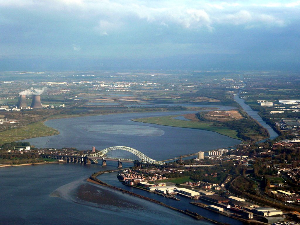
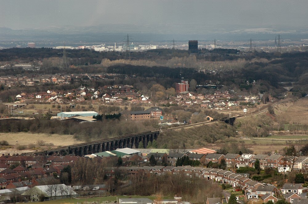
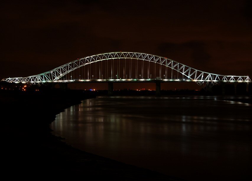
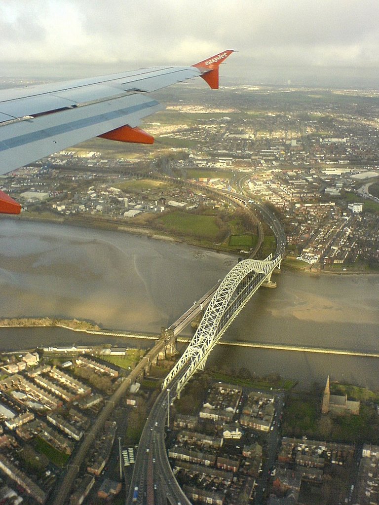
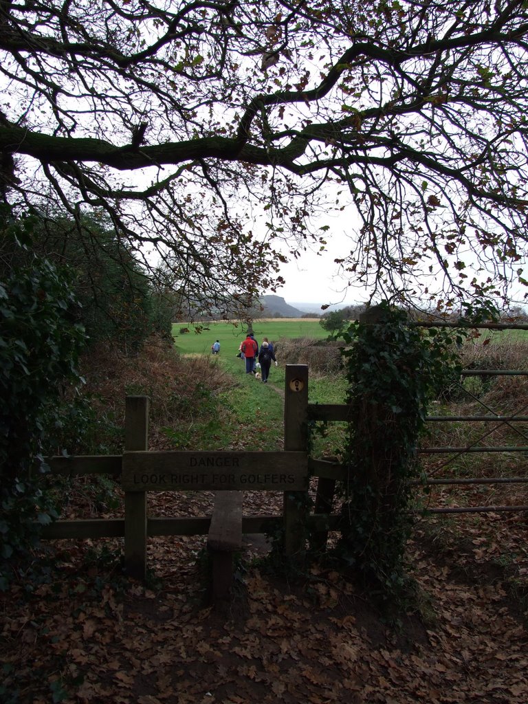
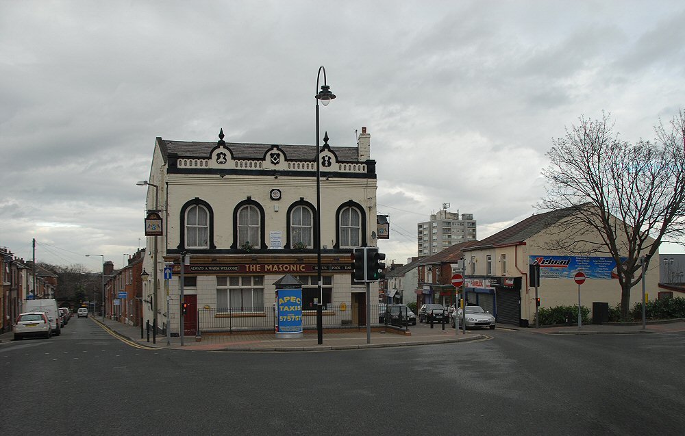
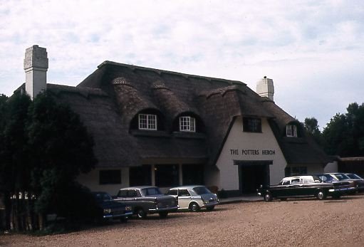
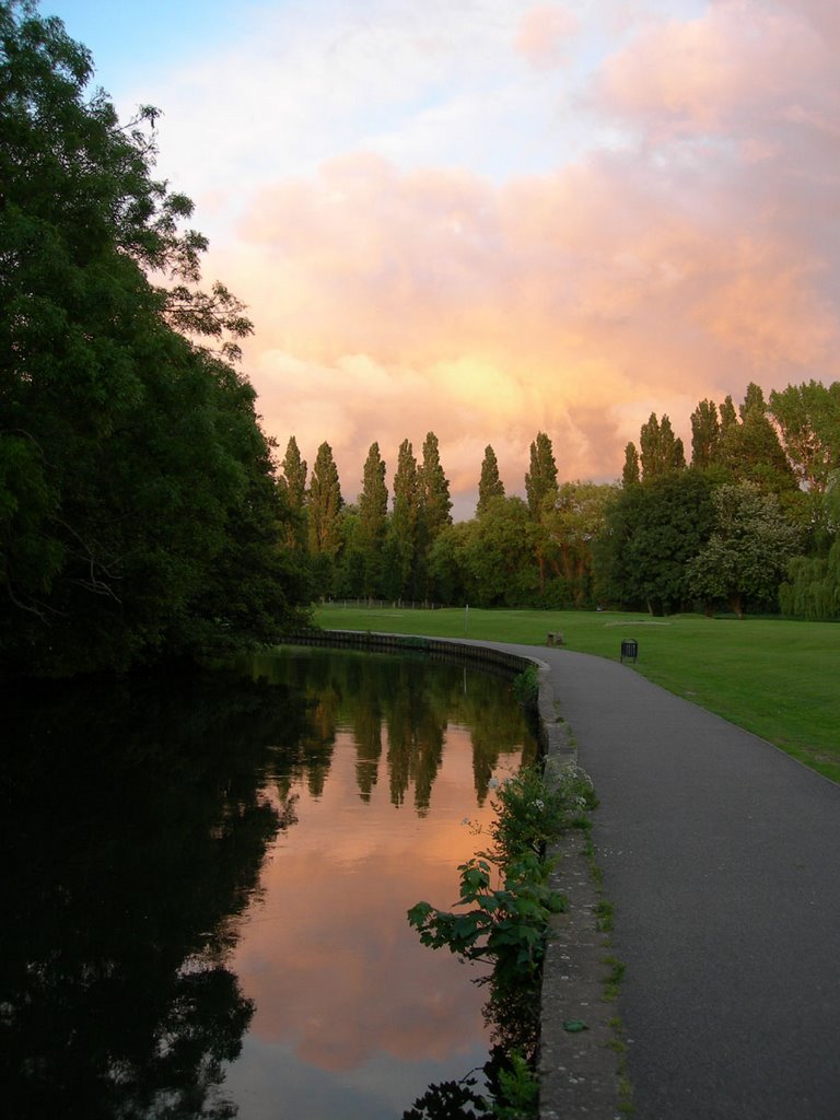
Photos of Frodsham
Frodsham Weather

Predicción: Clear sky
Temperatura: 1.8°
Humedad: 87%
Hora actual: 04:23 AM
Amanece: 06:02 AM
Anochece: 08:18 PM
Eastleigh, United Kingdom
Latitude: 50.9672 // Longitude: -1.37469
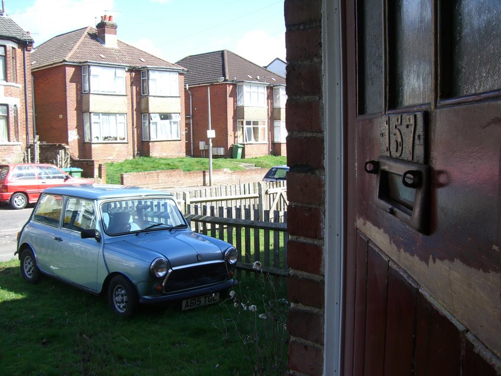
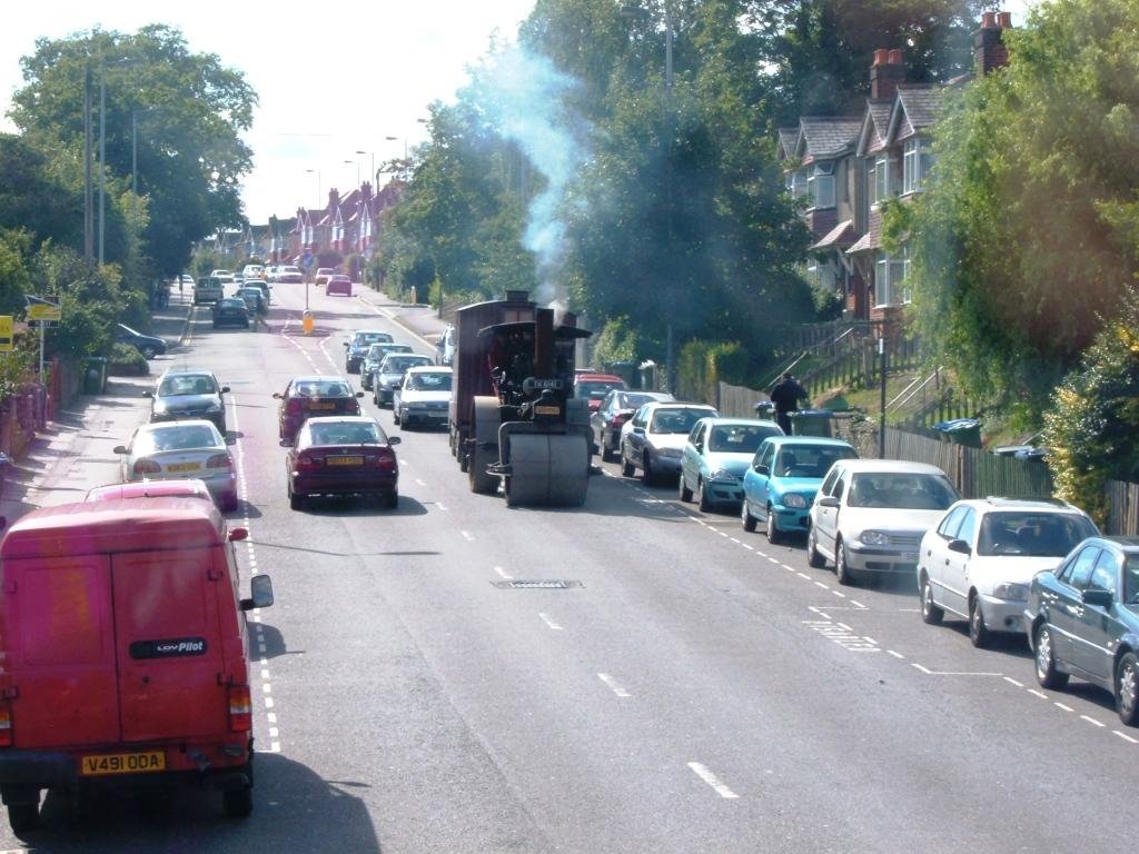
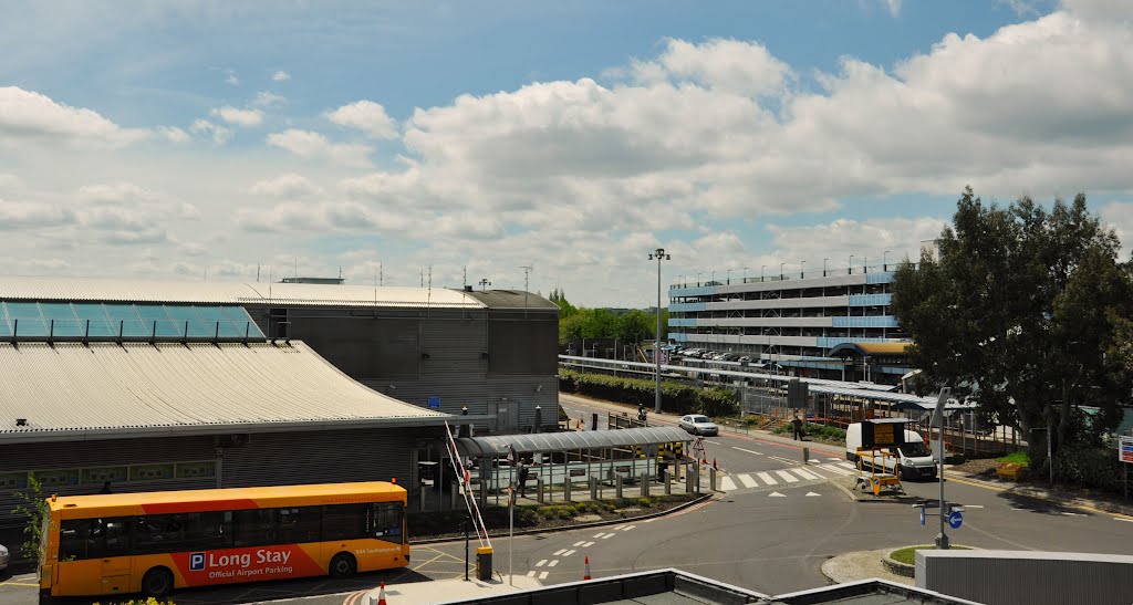
Photos of Eastleigh
Eastleigh Weather

Predicción: Clear sky
Temperatura: 5.1°
Humedad: 83%
Hora actual: 04:23 AM
Amanece: 06:02 AM
Anochece: 08:07 PM


