Distance between  Folkestone and
  Croydon
58.51 mi Straight Distance
70.96 mi Driving Distance
1 hour 11 mins Estimated Driving Time
The straight distance between Folkestone (England) and Croydon (England) is 58.51 mi, but the driving distance is 70.96 mi.
It takes 1 hour 23 mins to go from Folkestone to Croydon.
Driving directions from Folkestone to Croydon
Distance in kilometers
Straight distance: 94.14 km. Route distance: 114.18 km
Folkestone, United Kingdom
Latitude: 51.0814 // Longitude: 1.16946
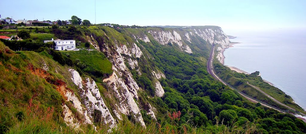
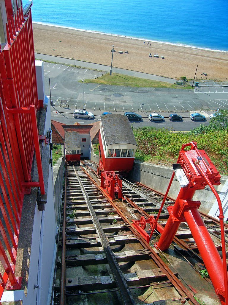
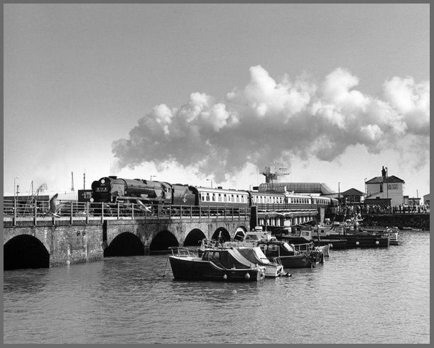
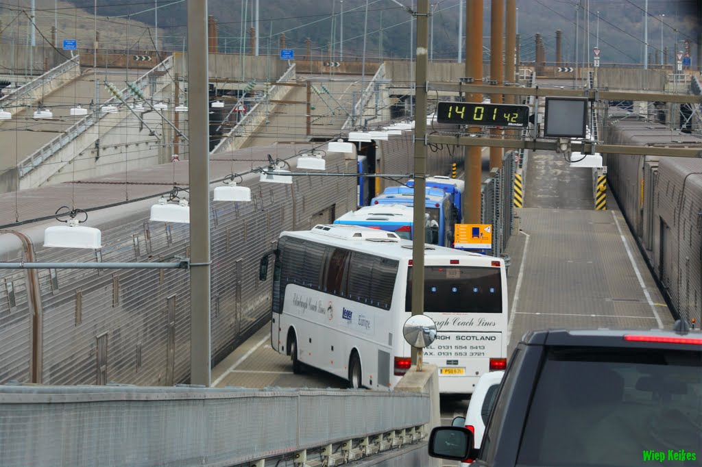
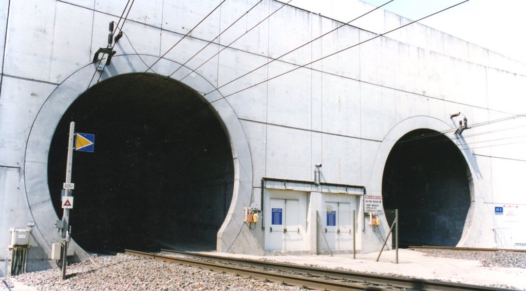
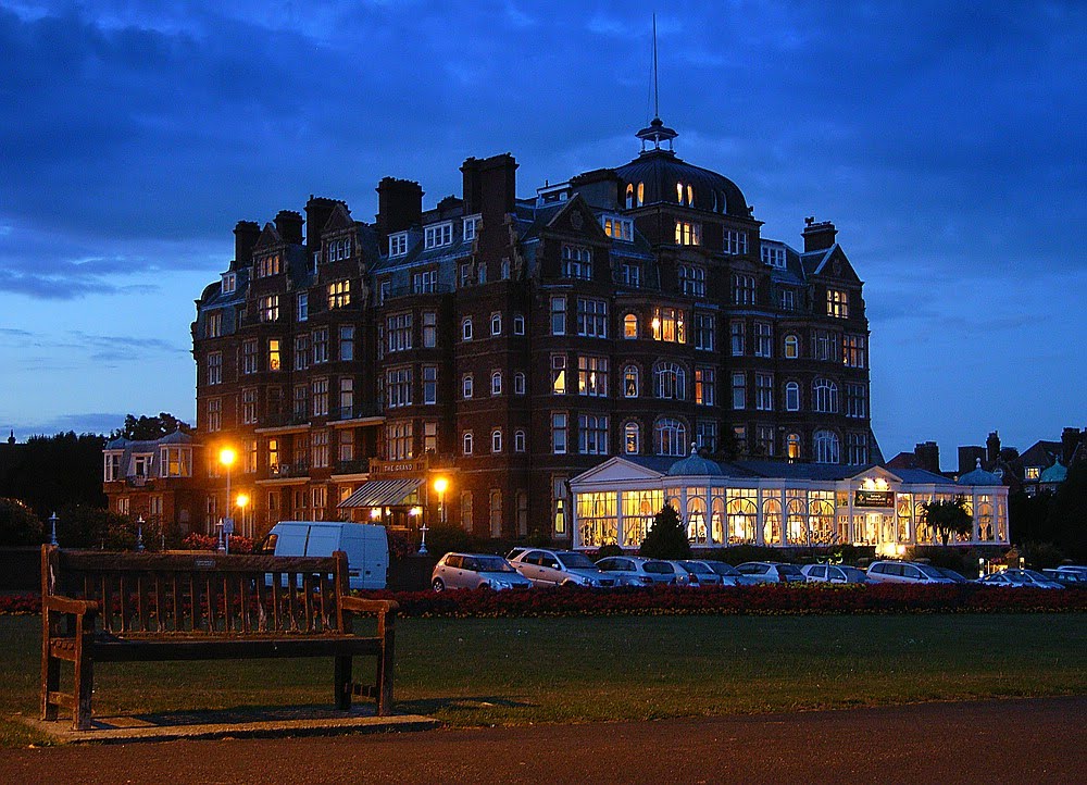
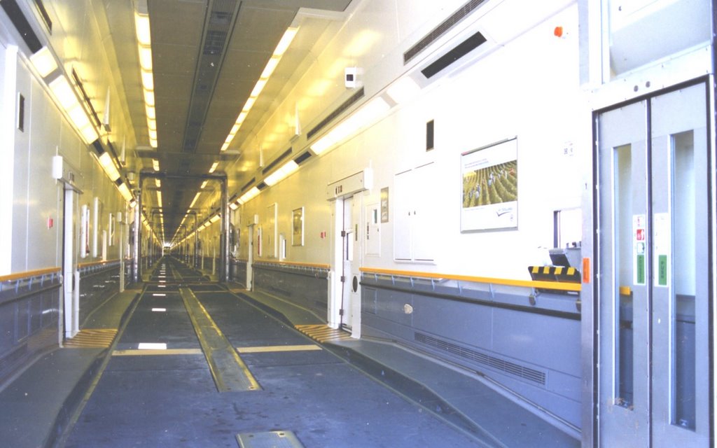
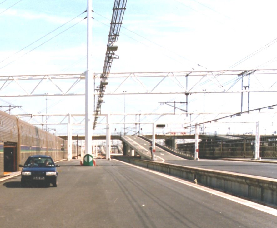
Photos of Folkestone
Folkestone Weather

Predicción: Broken clouds
Temperatura: 11.2°
Humedad: 73%
Hora actual: 11:43 AM
Amanece: 05:51 AM
Anochece: 07:57 PM
Croydon, United Kingdom
Latitude: 51.3762 // Longitude: -0.098234
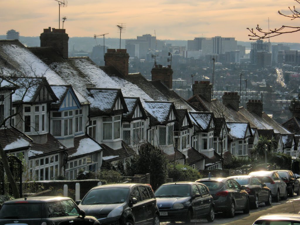
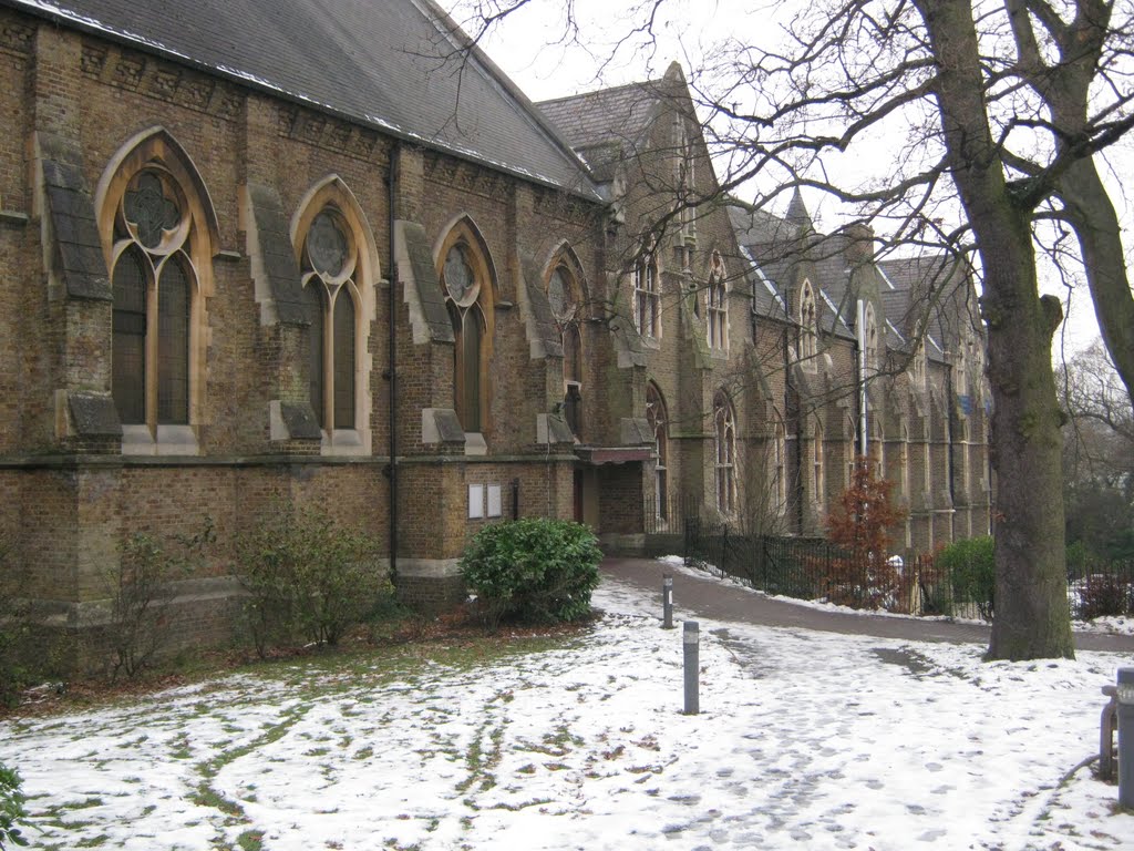
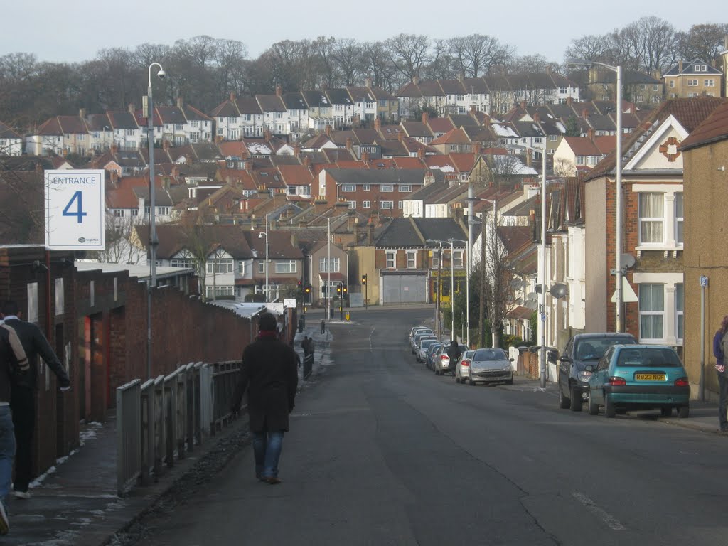
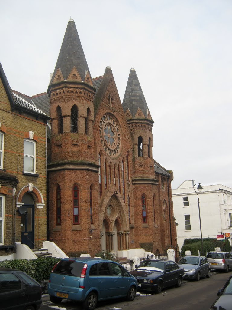
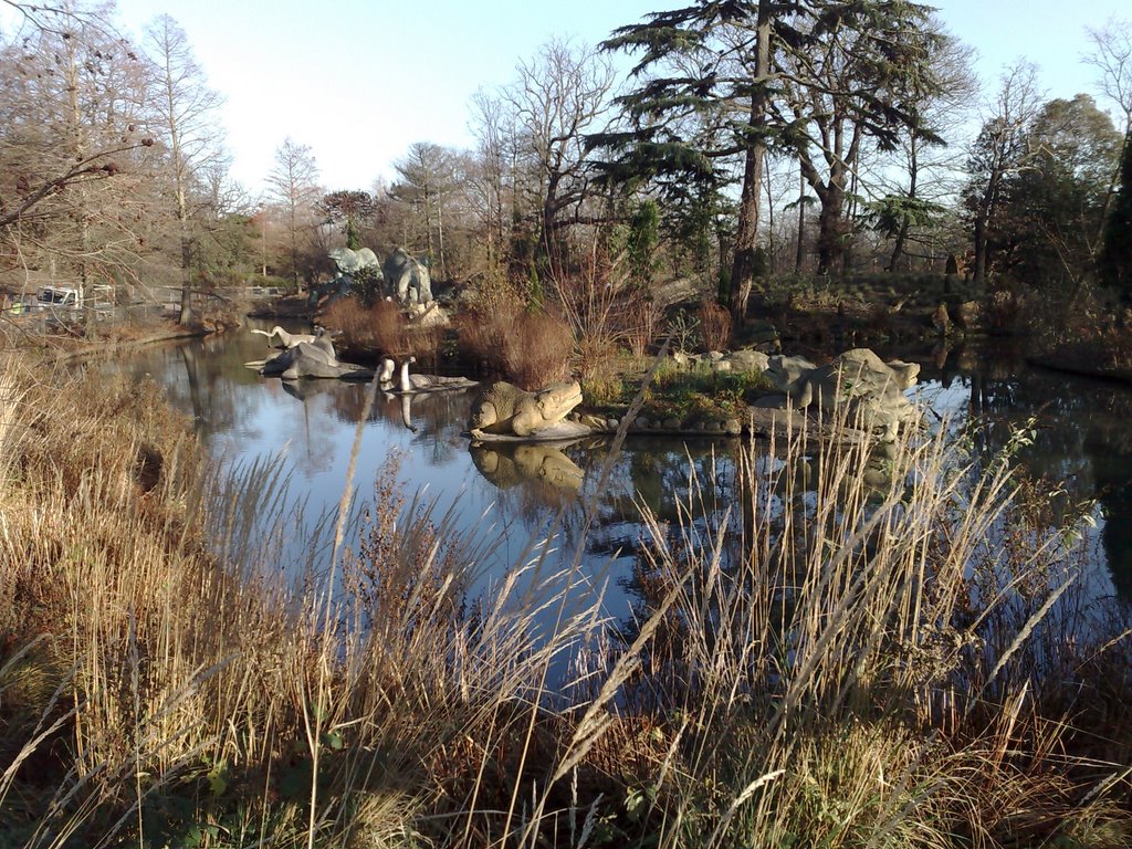
Photos of Croydon
Croydon Weather

Predicción: Few clouds
Temperatura: 11.1°
Humedad: 57%
Hora actual: 11:43 AM
Amanece: 05:56 AM
Anochece: 08:02 PM


