Distance between  Felixstowe and
  East Grinstead
82.19 mi Straight Distance
109.40 mi Driving Distance
1 hour 43 mins Estimated Driving Time
The straight distance between Felixstowe (England) and East Grinstead (England) is 82.19 mi, but the driving distance is 109.40 mi.
It takes 2 hours 5 mins to go from Felixstowe to East Grinstead.
Driving directions from Felixstowe to East Grinstead
Distance in kilometers
Straight distance: 132.25 km. Route distance: 176.02 km
Felixstowe, United Kingdom
Latitude: 51.9617 // Longitude: 1.35126
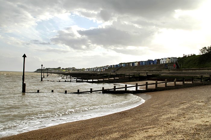
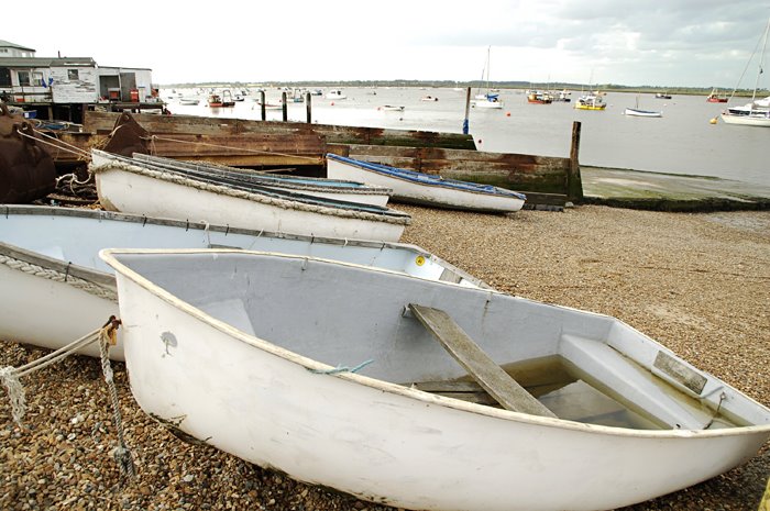
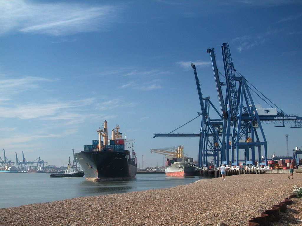
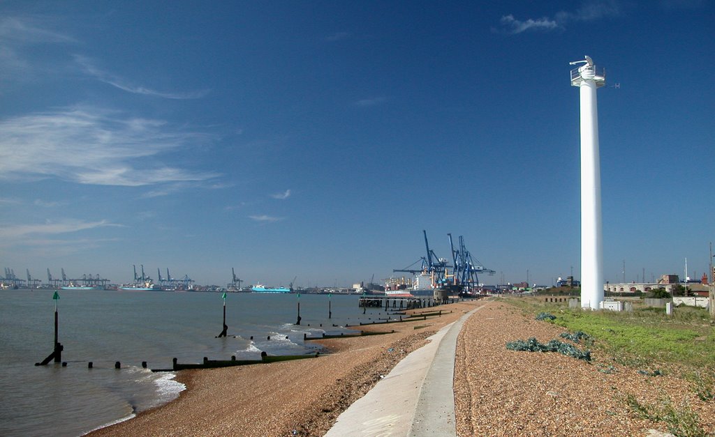
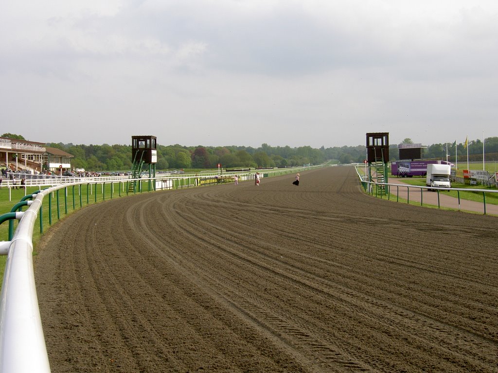
Photos of Felixstowe
Felixstowe Weather

Predicción: Overcast clouds
Temperatura: 8.9°
Humedad: 51%
Hora actual: 03:35 AM
Amanece: 05:46 AM
Anochece: 08:00 PM
East Grinstead, United Kingdom
Latitude: 51.1287 // Longitude: -0.014468
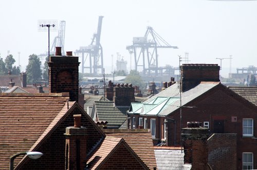
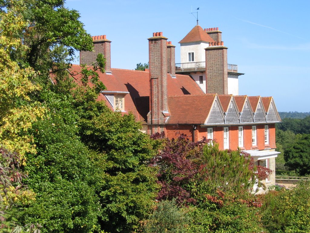
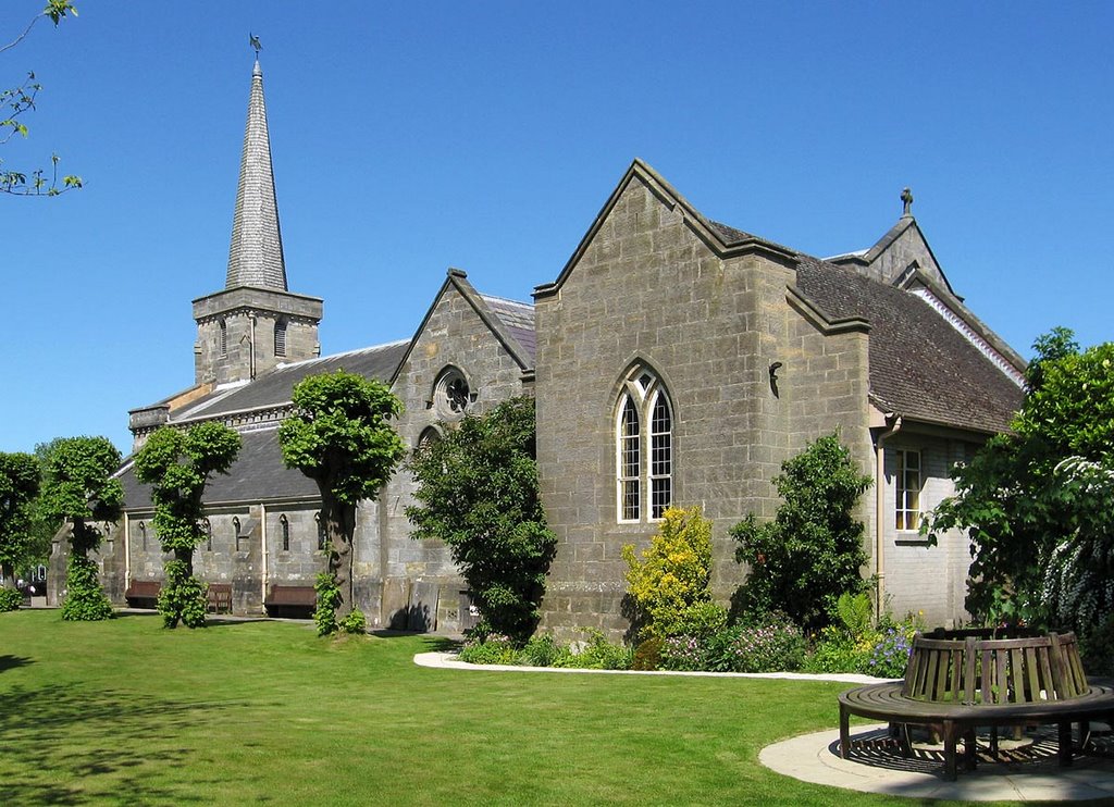
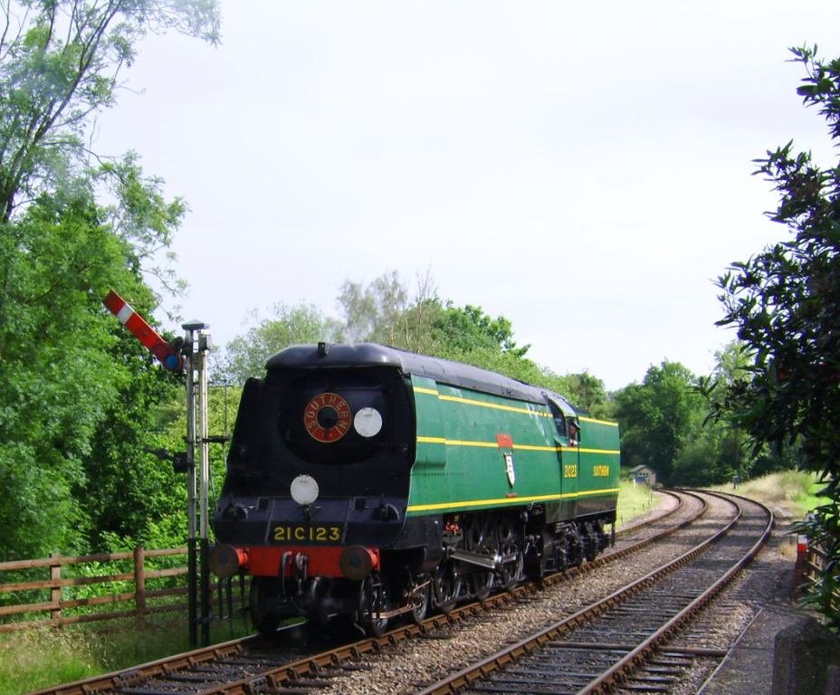
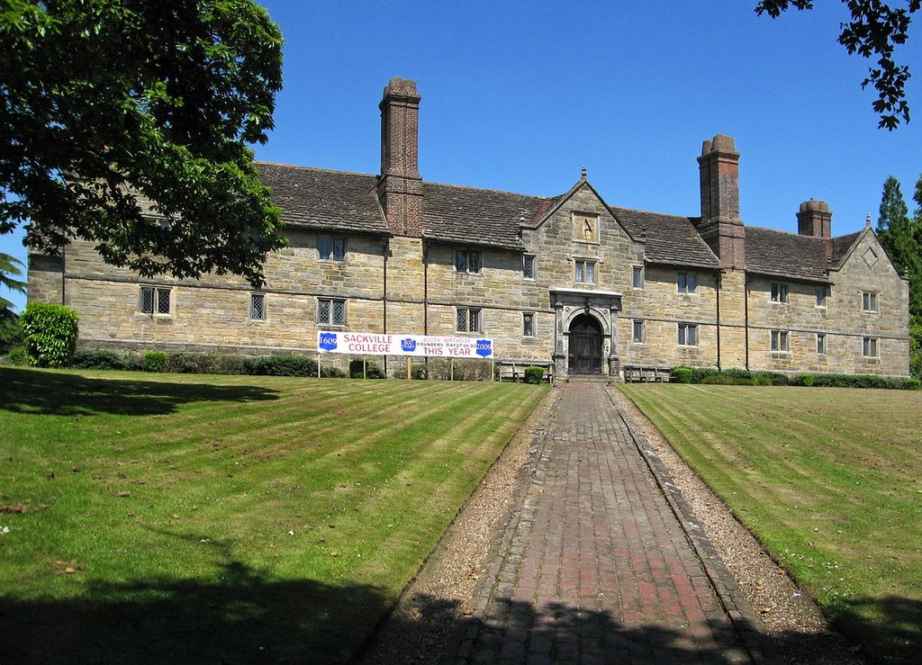
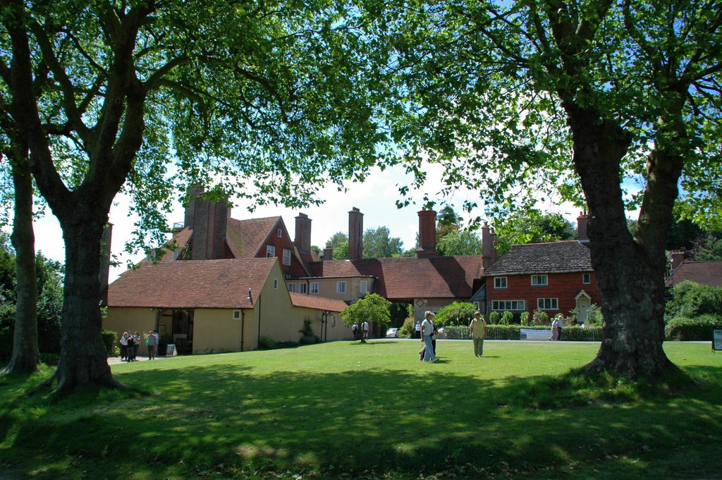
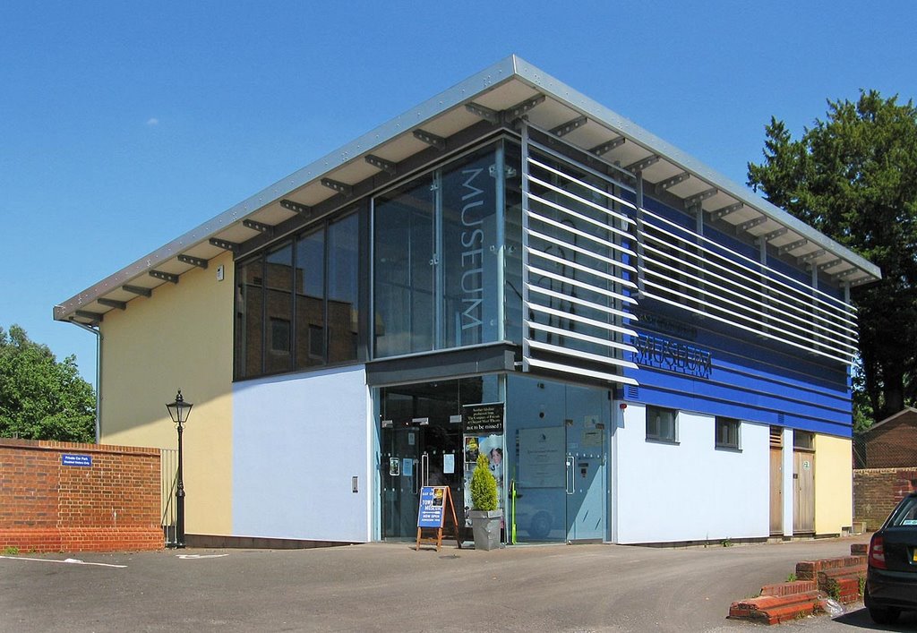
Photos of East Grinstead
East Grinstead Weather

Predicción: Broken clouds
Temperatura: 7.9°
Humedad: 77%
Hora actual: 03:35 AM
Amanece: 05:54 AM
Anochece: 08:03 PM


