Distance between  Eskra and
  Derrygonnelly
24.32 mi Straight Distance
32.97 mi Driving Distance
37 minutes Estimated Driving Time
The straight distance between Eskra (Northern Ireland) and Derrygonnelly (Northern Ireland) is 24.32 mi, but the driving distance is 32.97 mi.
It takes to go from Eskra to Derrygonnelly.
Driving directions from Eskra to Derrygonnelly
Distance in kilometers
Straight distance: 39.13 km. Route distance: 53.05 km
Eskra, United Kingdom
Latitude: 54.4755 // Longitude: -7.21784
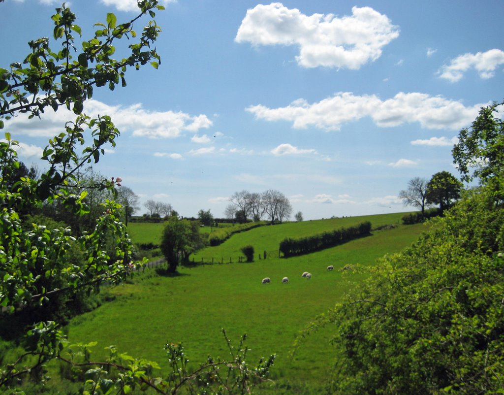
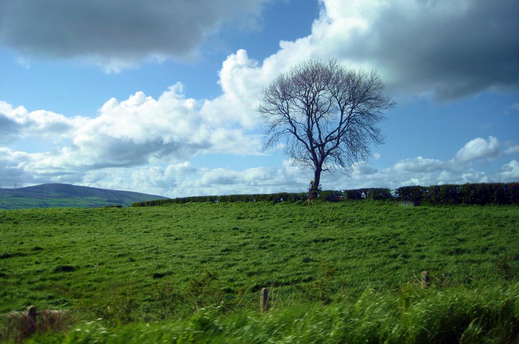
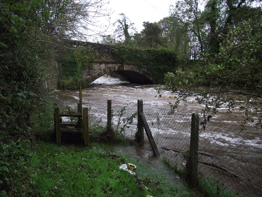
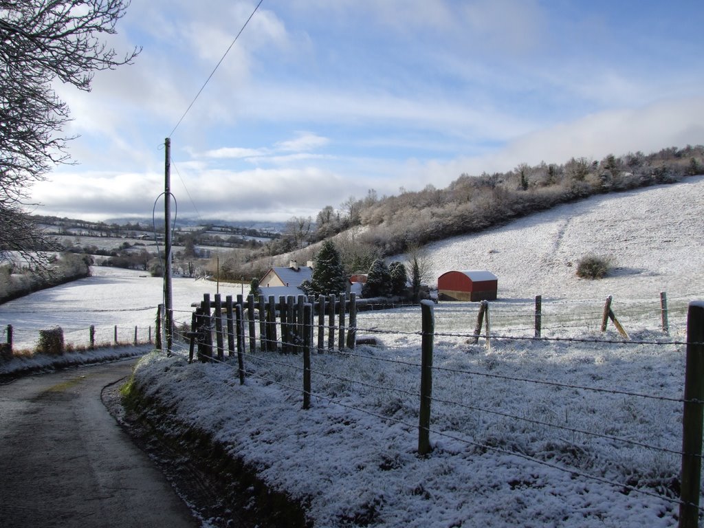
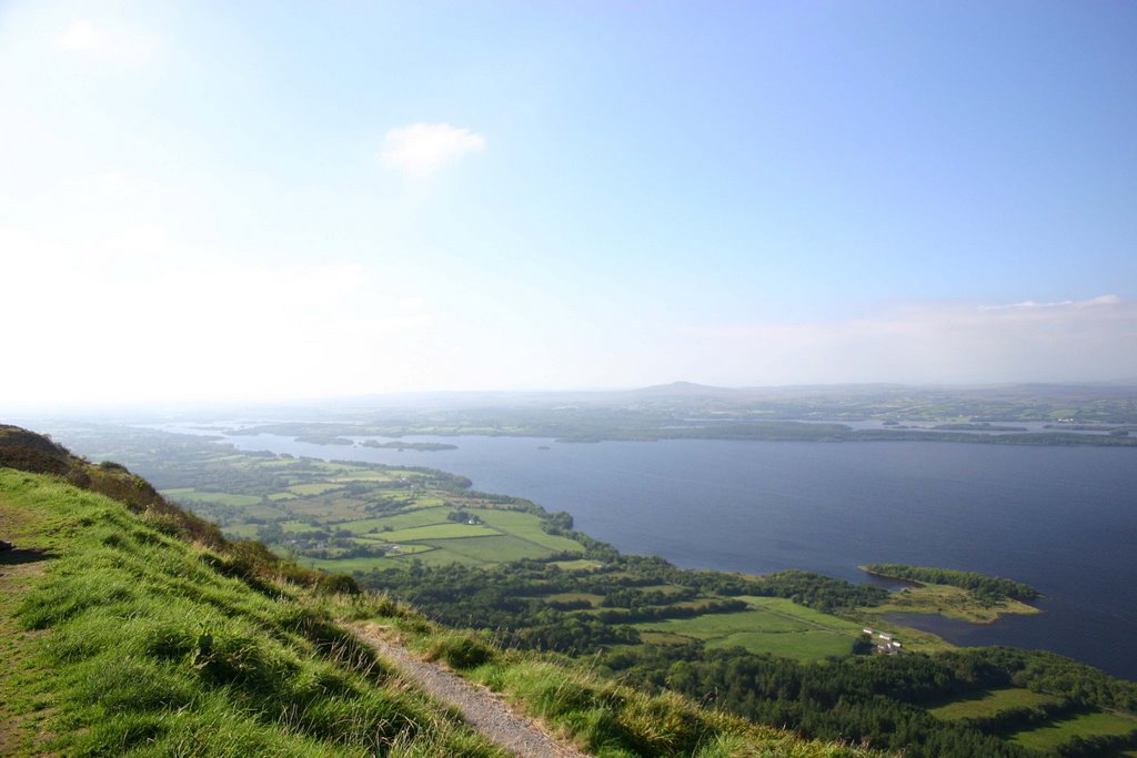
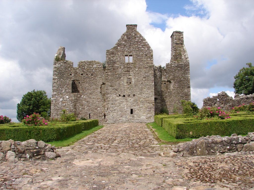
Photos of Eskra
Eskra Weather

Predicción: Scattered clouds
Temperatura: 4.0°
Humedad: 83%
Hora actual: 12:00 AM
Amanece: 05:21 AM
Anochece: 07:35 PM
Derrygonnelly, United Kingdom
Latitude: 54.4178 // Longitude: -7.81501
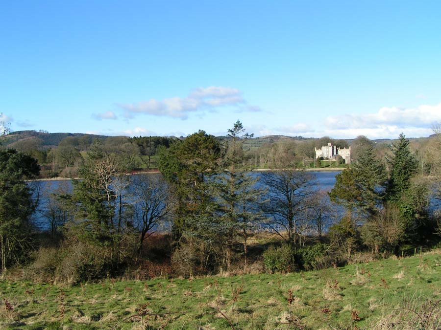
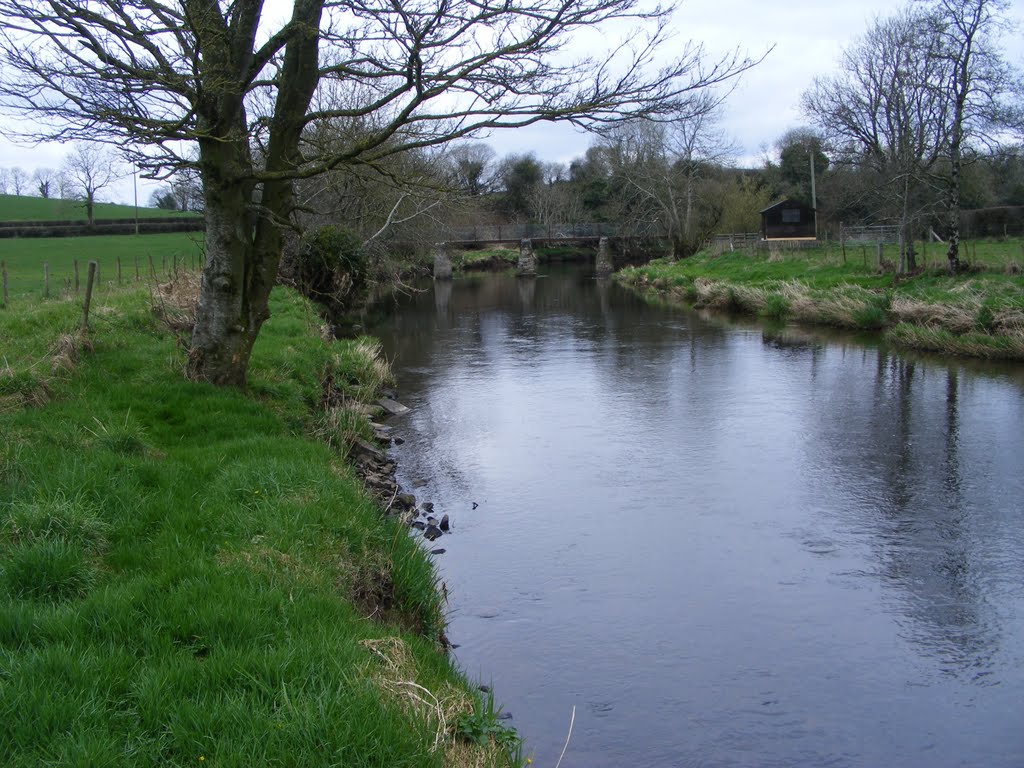
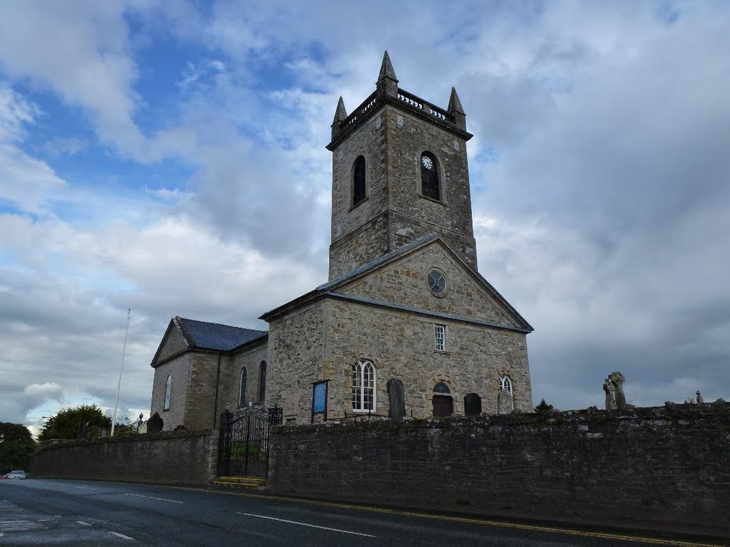
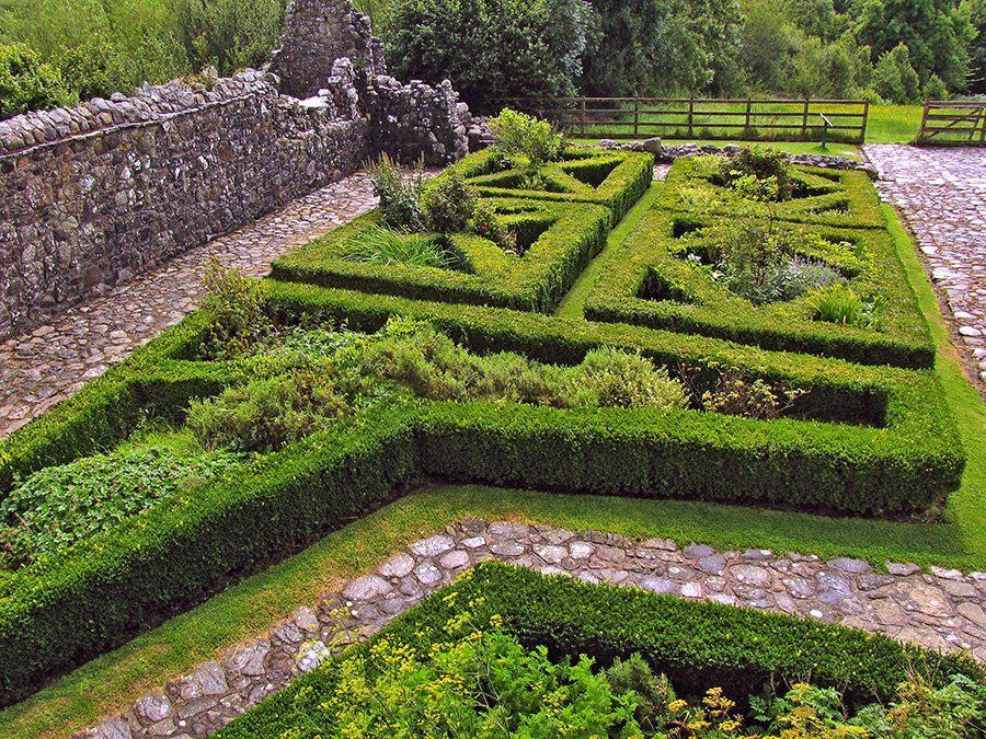
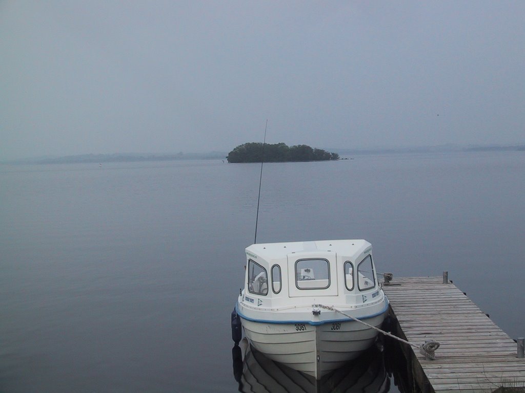
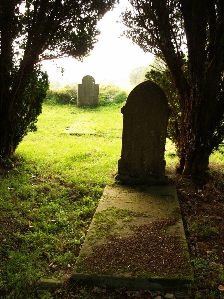
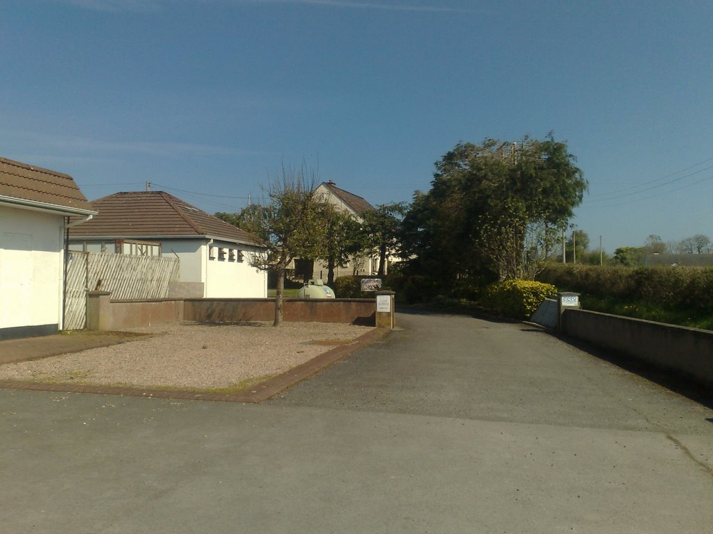
Photos of Derrygonnelly
Derrygonnelly Weather

Predicción: Scattered clouds
Temperatura: 5.2°
Humedad: 82%
Hora actual: 12:00 AM
Amanece: 05:24 AM
Anochece: 07:37 PM


