Distance between  Ellesmere Port and
  Dursley
112.99 mi Straight Distance
155.70 mi Driving Distance
2 hours 24 mins Estimated Driving Time
The straight distance between Ellesmere Port (England) and Dursley (England) is 112.99 mi, but the driving distance is 155.70 mi.
It takes to go from Ellesmere Port to Dursley.
Driving directions from Ellesmere Port to Dursley
Distance in kilometers
Straight distance: 181.79 km. Route distance: 250.53 km
Ellesmere Port, United Kingdom
Latitude: 53.2798 // Longitude: -2.8974
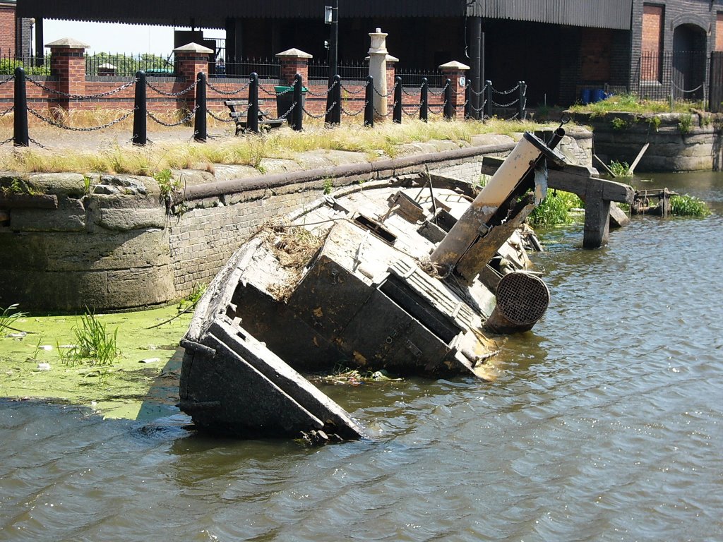
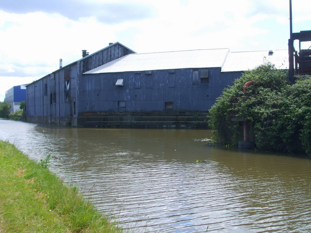
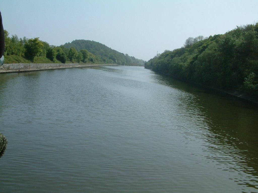
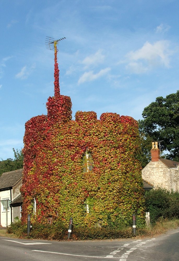
Photos of Ellesmere Port
Ellesmere Port Weather

Predicción: Broken clouds
Temperatura: 9.9°
Humedad: 87%
Hora actual: 02:25 AM
Amanece: 06:00 AM
Anochece: 08:20 PM
Dursley, United Kingdom
Latitude: 51.6788 // Longitude: -2.35052
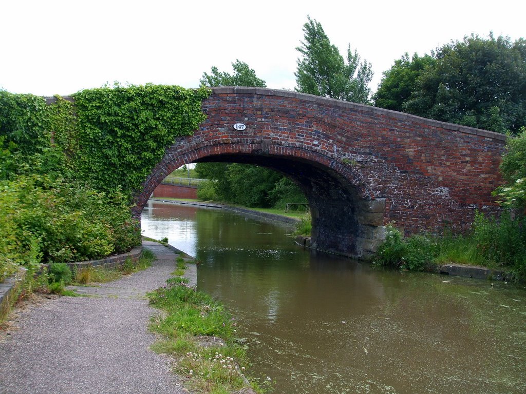
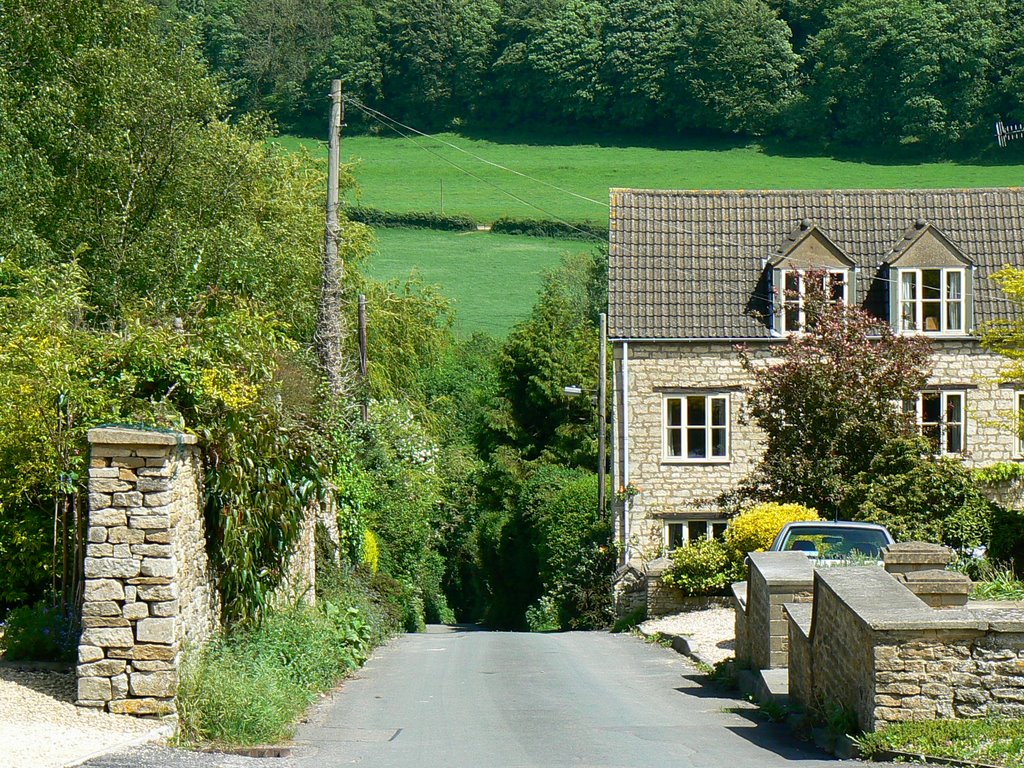
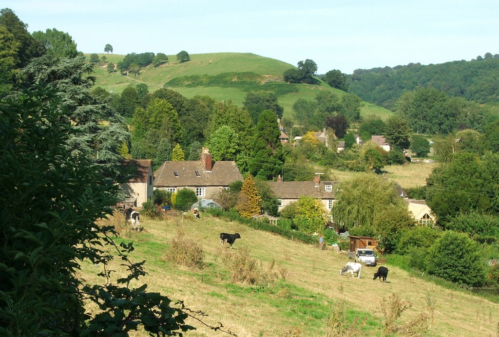
Photos of Dursley
Dursley Weather

Predicción: Scattered clouds
Temperatura: 9.8°
Humedad: 85%
Hora actual: 02:25 AM
Amanece: 06:02 AM
Anochece: 08:14 PM


