Distance between  Elderslie and
  Aberdeen
128.44 mi Straight Distance
157.27 mi Driving Distance
2 hours 27 mins Estimated Driving Time
The straight distance between Elderslie (Scotland) and Aberdeen (Scotland) is 128.44 mi, but the driving distance is 157.27 mi.
It takes 2 hours 50 mins to go from Elderslie to Aberdeen.
Driving directions from Elderslie to Aberdeen
Distance in kilometers
Straight distance: 206.66 km. Route distance: 253.05 km
Elderslie, United Kingdom
Latitude: 55.8375 // Longitude: -4.48009
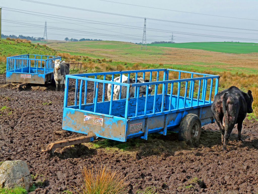
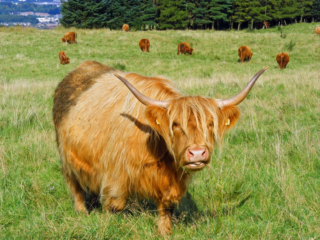
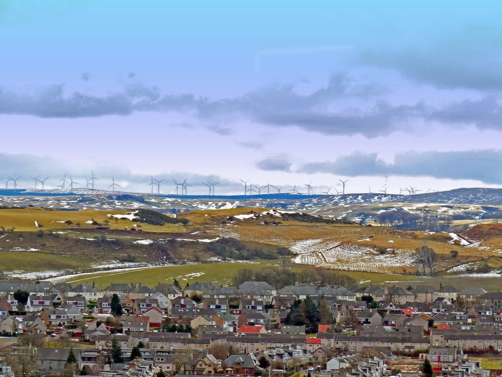
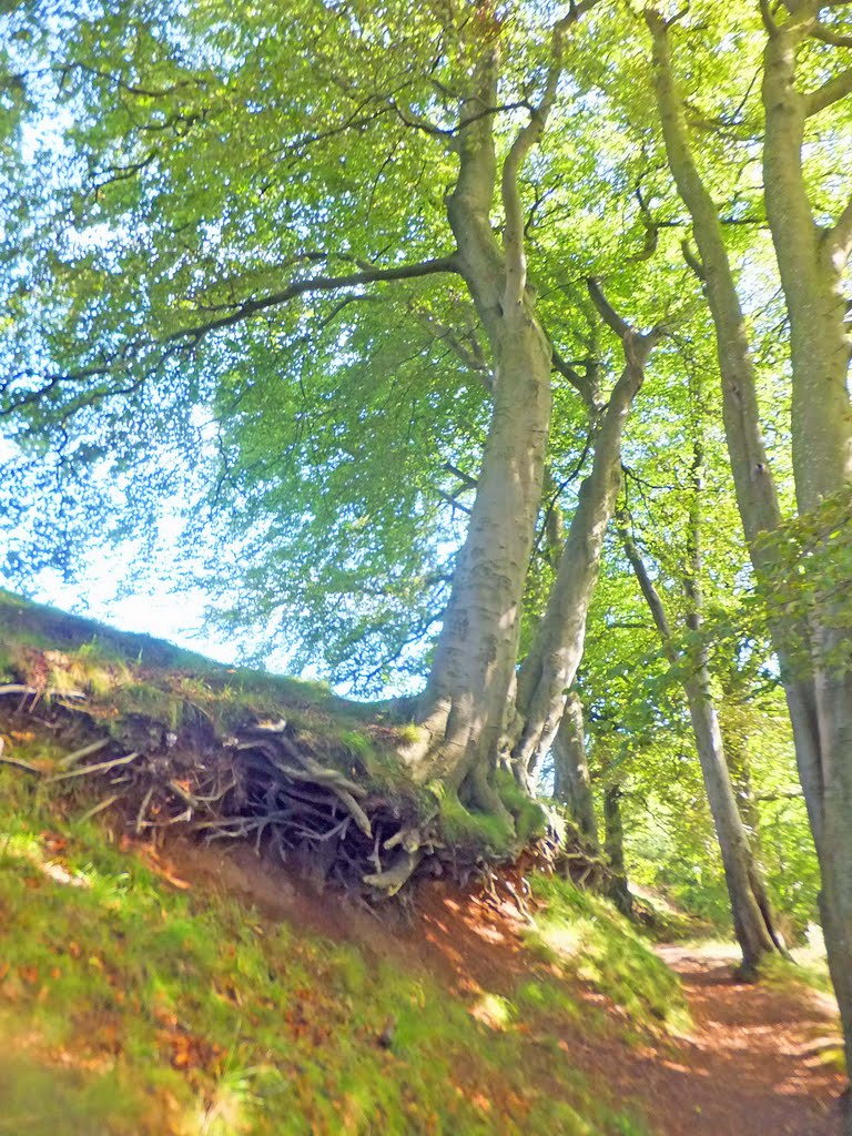
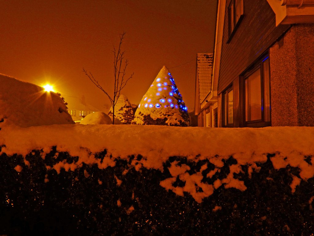
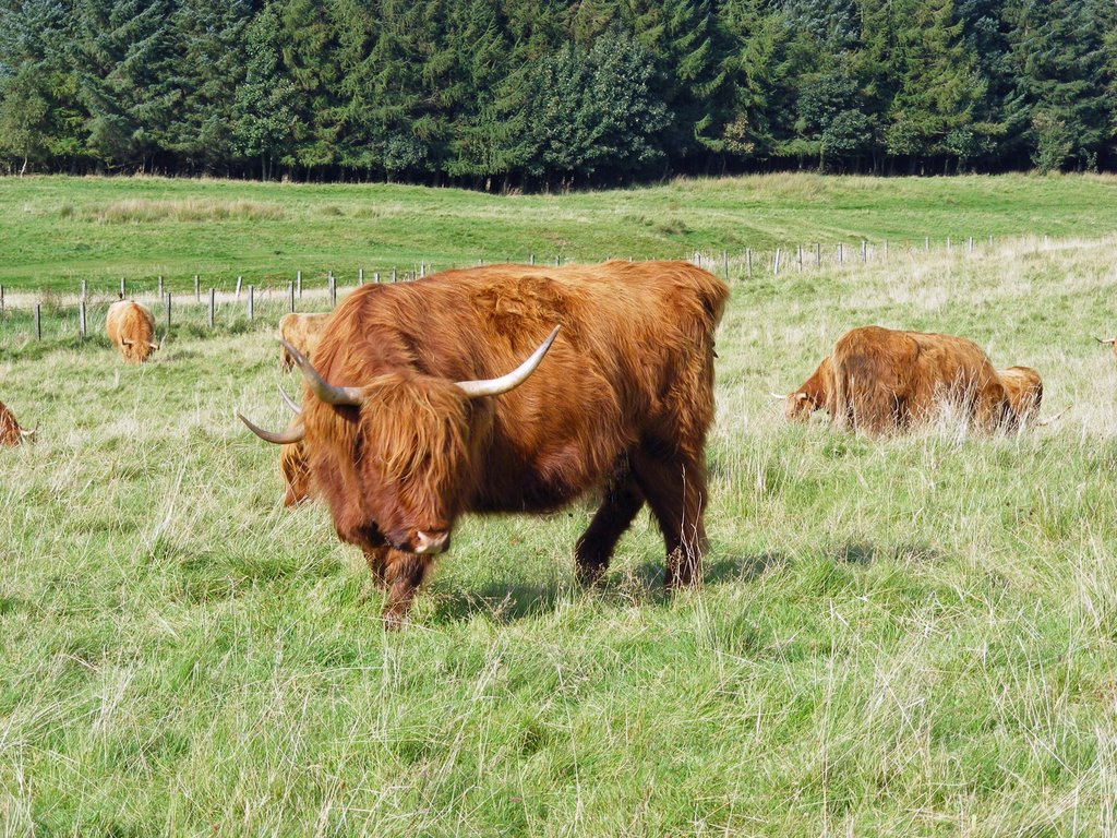
Photos of Elderslie
Elderslie Weather

Predicción: Scattered clouds
Temperatura: 5.2°
Humedad: 81%
Hora actual: 06:31 AM
Amanece: 06:07 AM
Anochece: 08:27 PM
Aberdeen, United Kingdom
Latitude: 57.1497 // Longitude: -2.09428
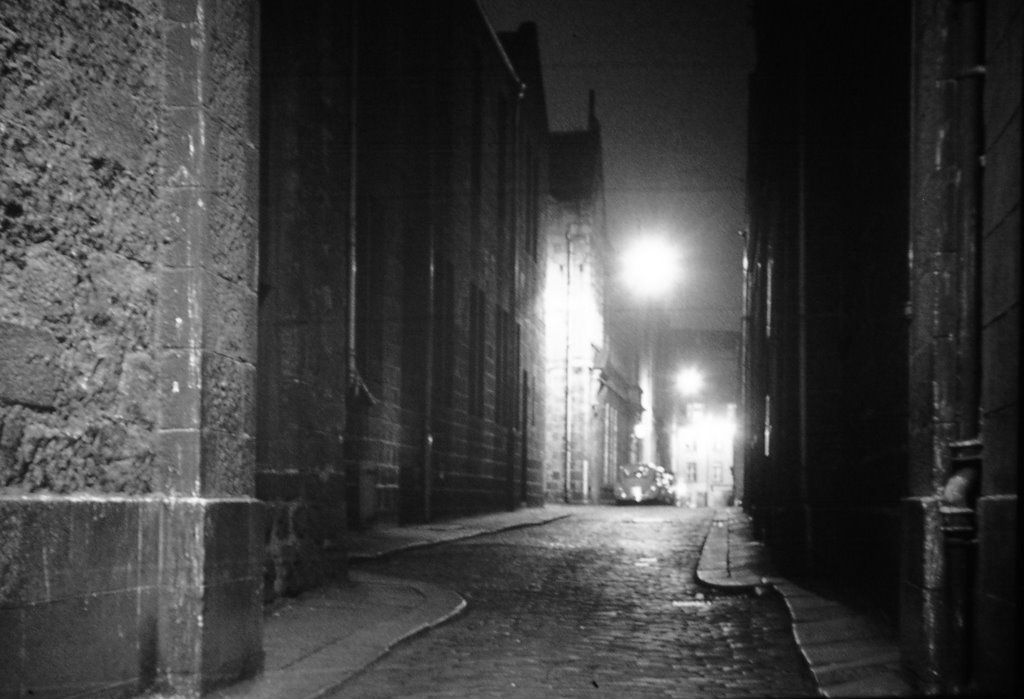
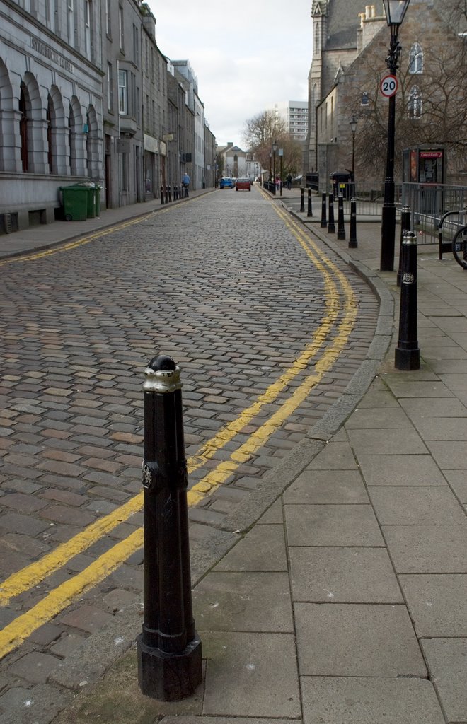
Photos of Aberdeen
Aberdeen Weather

Predicción: Broken clouds
Temperatura: 5.4°
Humedad: 86%
Hora actual: 06:31 AM
Amanece: 05:54 AM
Anochece: 08:21 PM


