Distance between  Drumnakilly and
  Donagh
28.22 mi Straight Distance
34.96 mi Driving Distance
37 minutes Estimated Driving Time
The straight distance between Drumnakilly (Northern Ireland) and Donagh (Northern Ireland) is 28.22 mi, but the driving distance is 34.96 mi.
It takes to go from Drumnakilly to Donagh.
Driving directions from Drumnakilly to Donagh
Distance in kilometers
Straight distance: 45.41 km. Route distance: 56.24 km
Drumnakilly, United Kingdom
Latitude: 54.6038 // Longitude: -7.17024
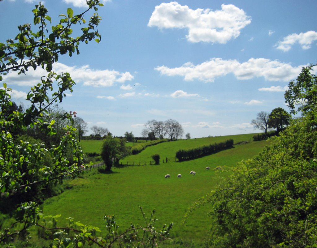
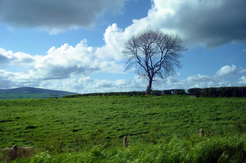
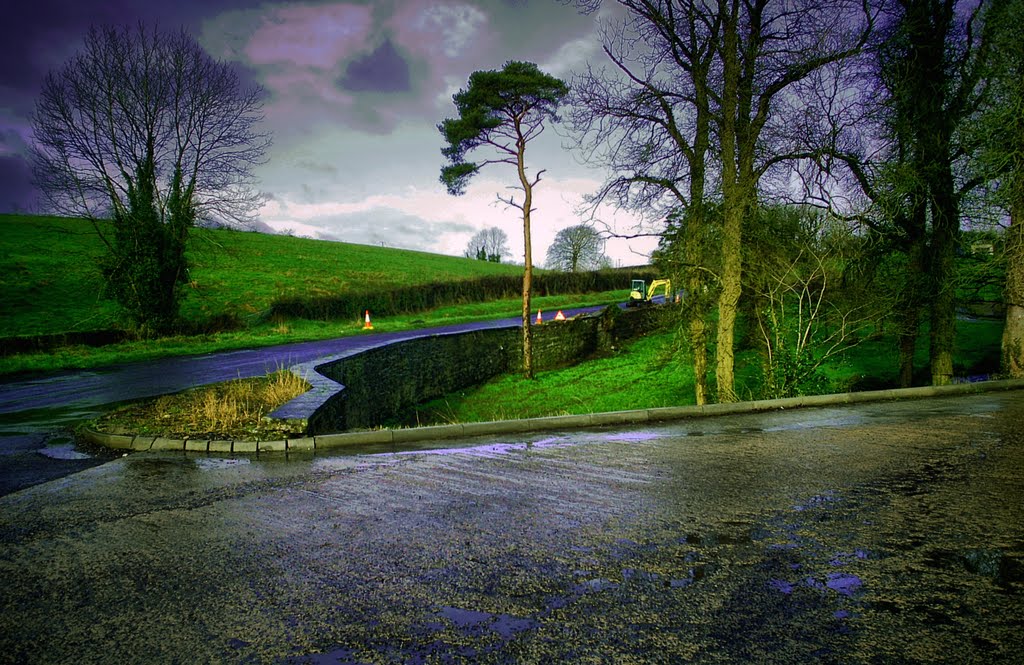
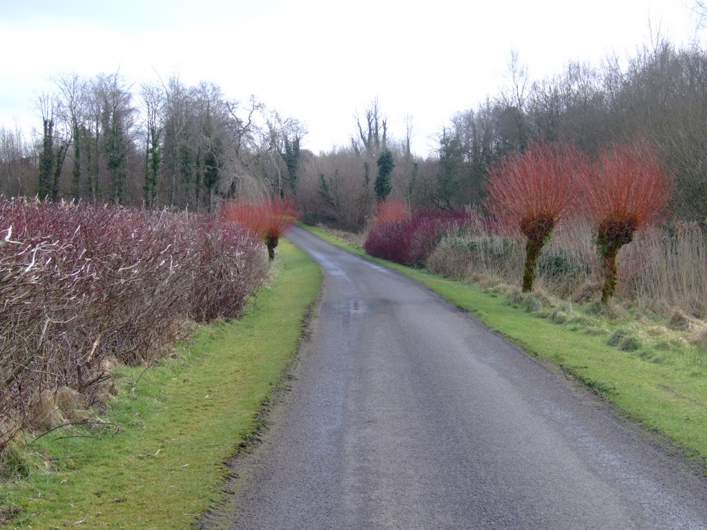
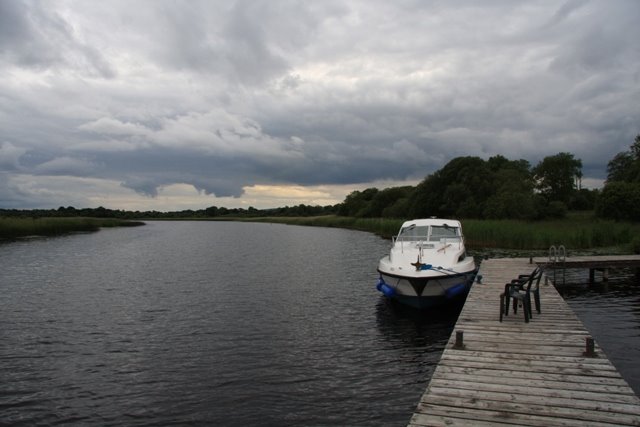
Photos of Drumnakilly
Drumnakilly Weather

Predicción: Overcast clouds
Temperatura: 9.0°
Humedad: 88%
Hora actual: 12:00 AM
Amanece: 05:14 AM
Anochece: 07:41 PM
Donagh, United Kingdom
Latitude: 54.2161 // Longitude: -7.39132
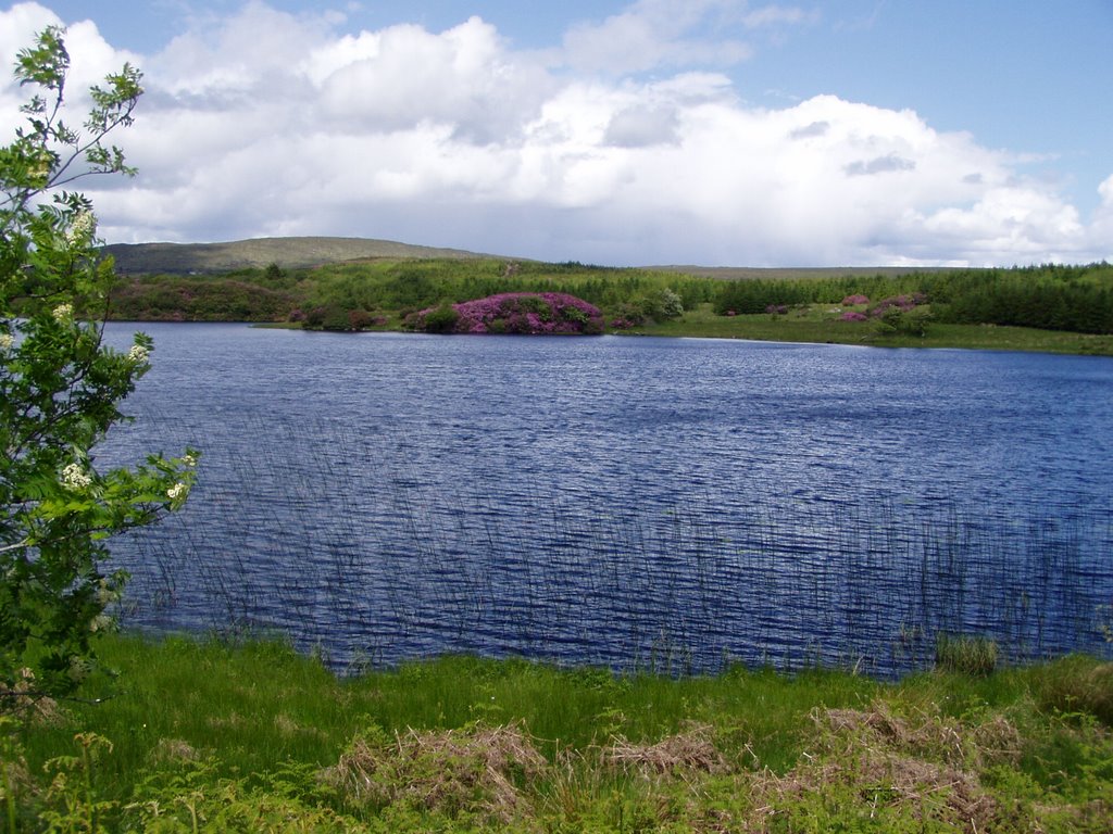
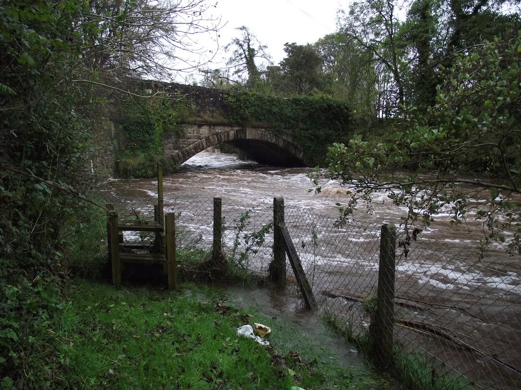
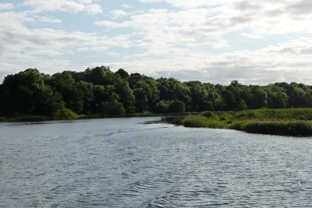
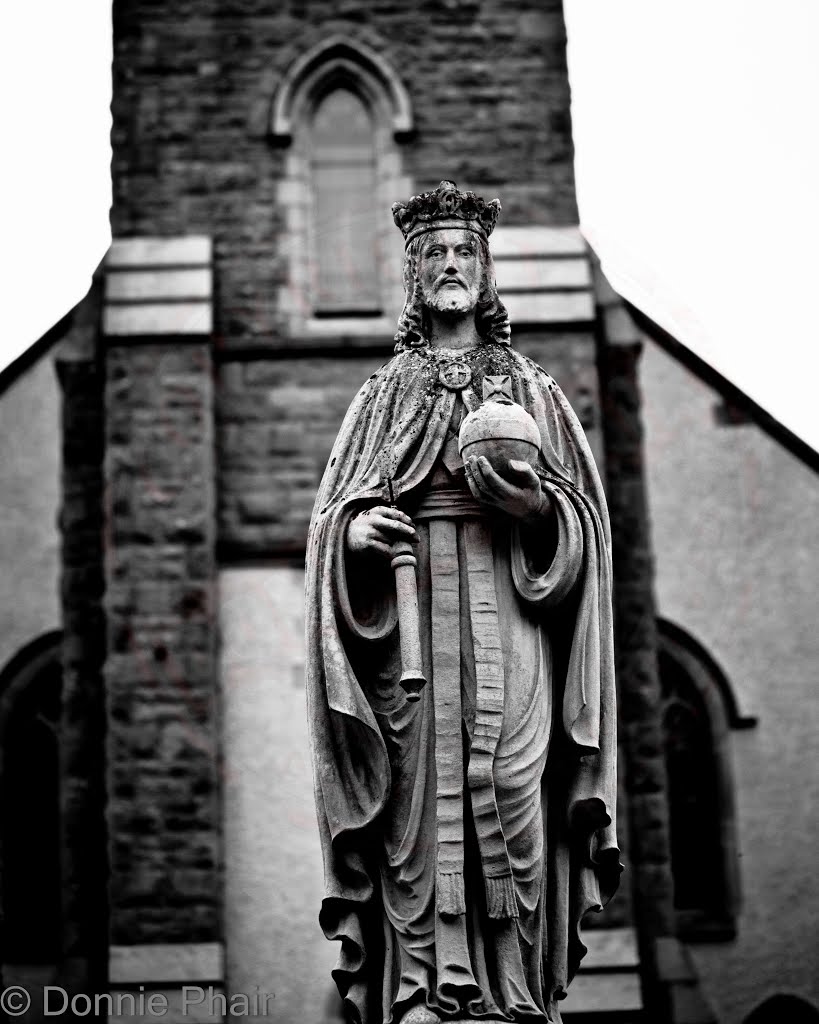
Photos of Donagh
Donagh Weather

Predicción: Overcast clouds
Temperatura: 9.4°
Humedad: 91%
Hora actual: 01:35 AM
Amanece: 06:16 AM
Anochece: 08:40 PM


