Distance between  Drumaness and
  Castledawson
40.12 mi Straight Distance
53.51 mi Driving Distance
55 minutes Estimated Driving Time
The straight distance between Drumaness (Northern Ireland) and Castledawson (Northern Ireland) is 40.12 mi, but the driving distance is 53.51 mi.
It takes to go from Drumaness to Castledawson.
Driving directions from Drumaness to Castledawson
Distance in kilometers
Straight distance: 64.56 km. Route distance: 86.10 km
Drumaness, United Kingdom
Latitude: 54.3683 // Longitude: -5.85249
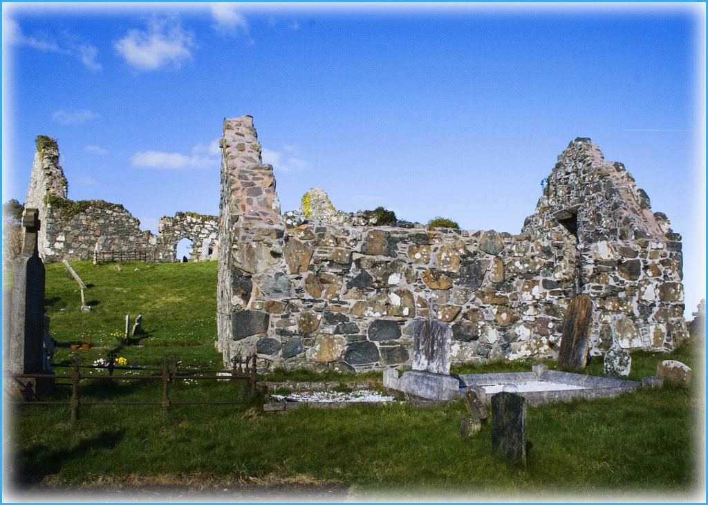
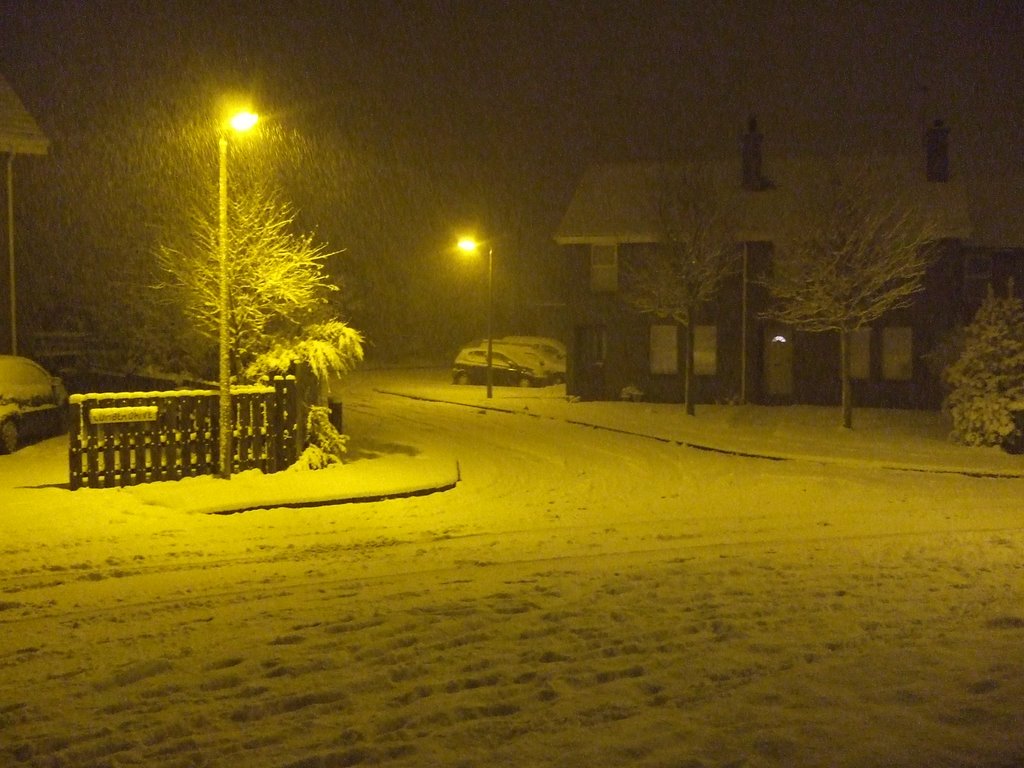
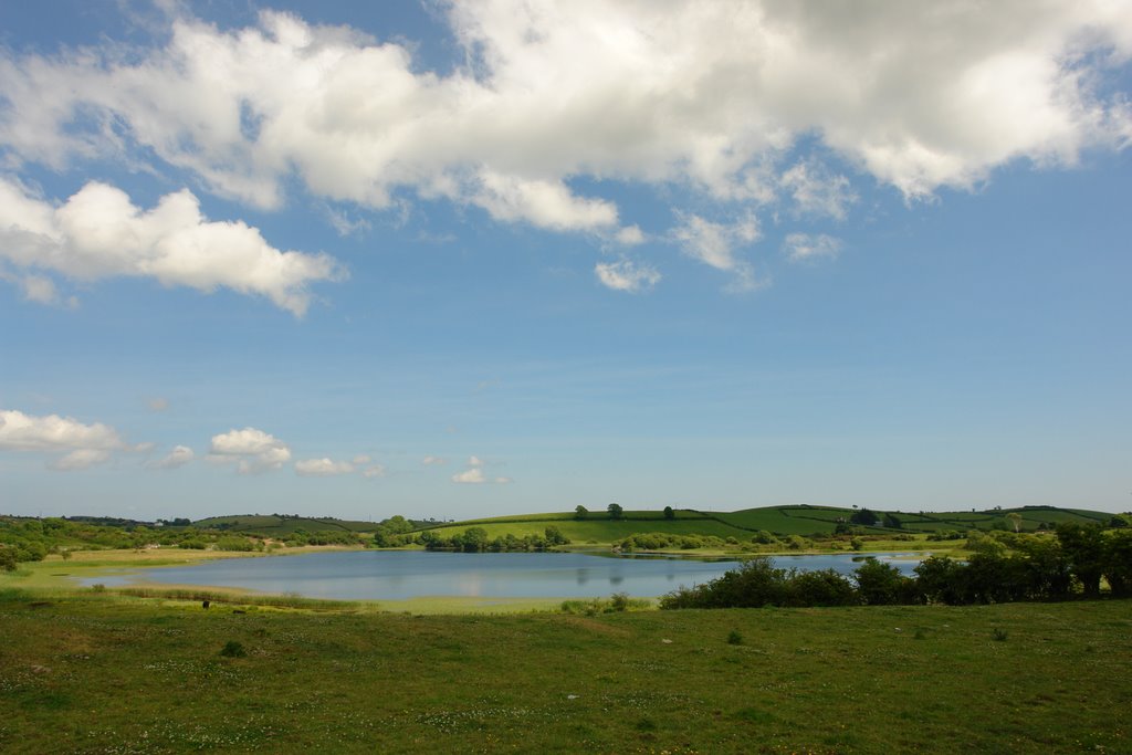
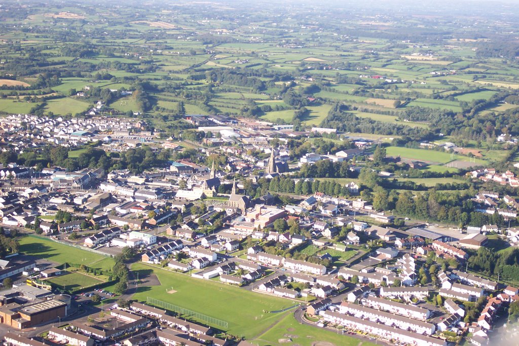
Photos of Drumaness
Drumaness Weather

Predicción: Few clouds
Temperatura: 11.6°
Humedad: 62%
Hora actual: 04:42 PM
Amanece: 06:16 AM
Anochece: 08:29 PM
Castledawson, United Kingdom
Latitude: 54.7762 // Longitude: -6.56552
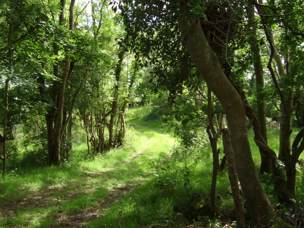
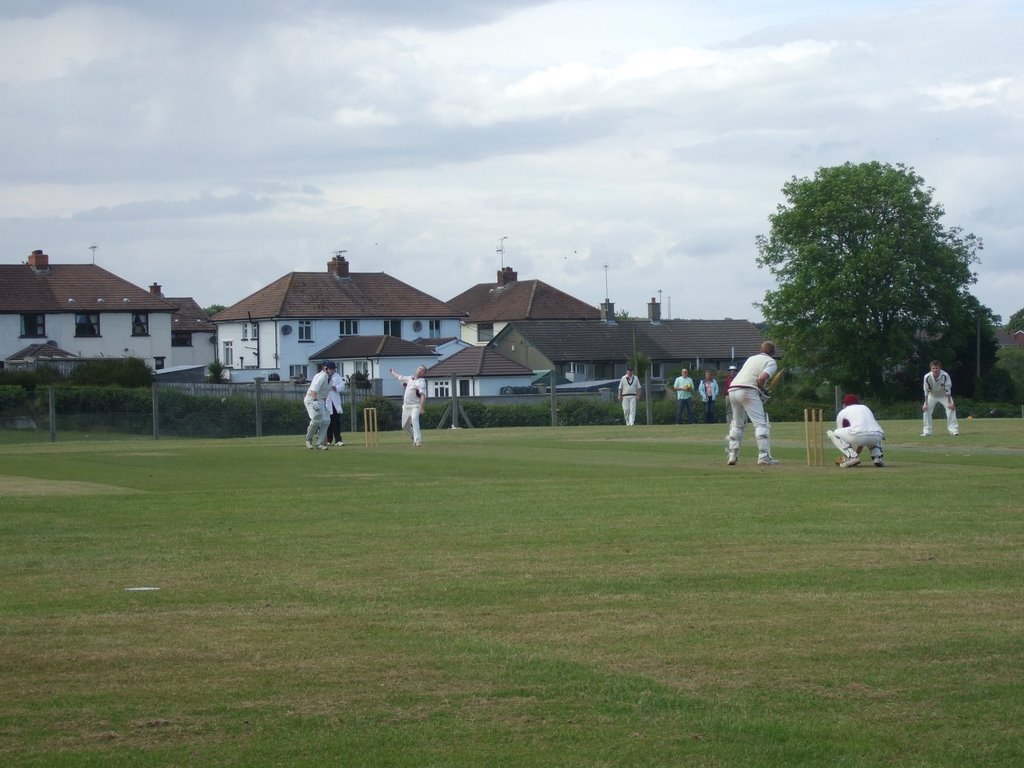
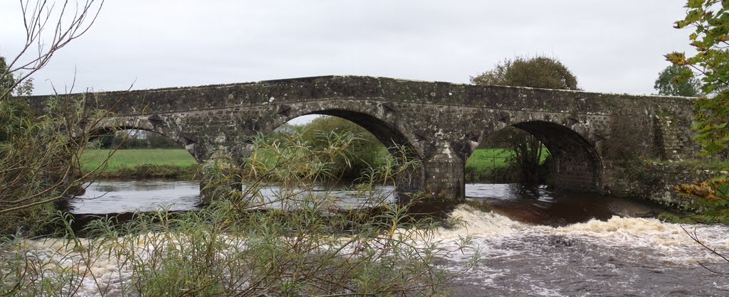
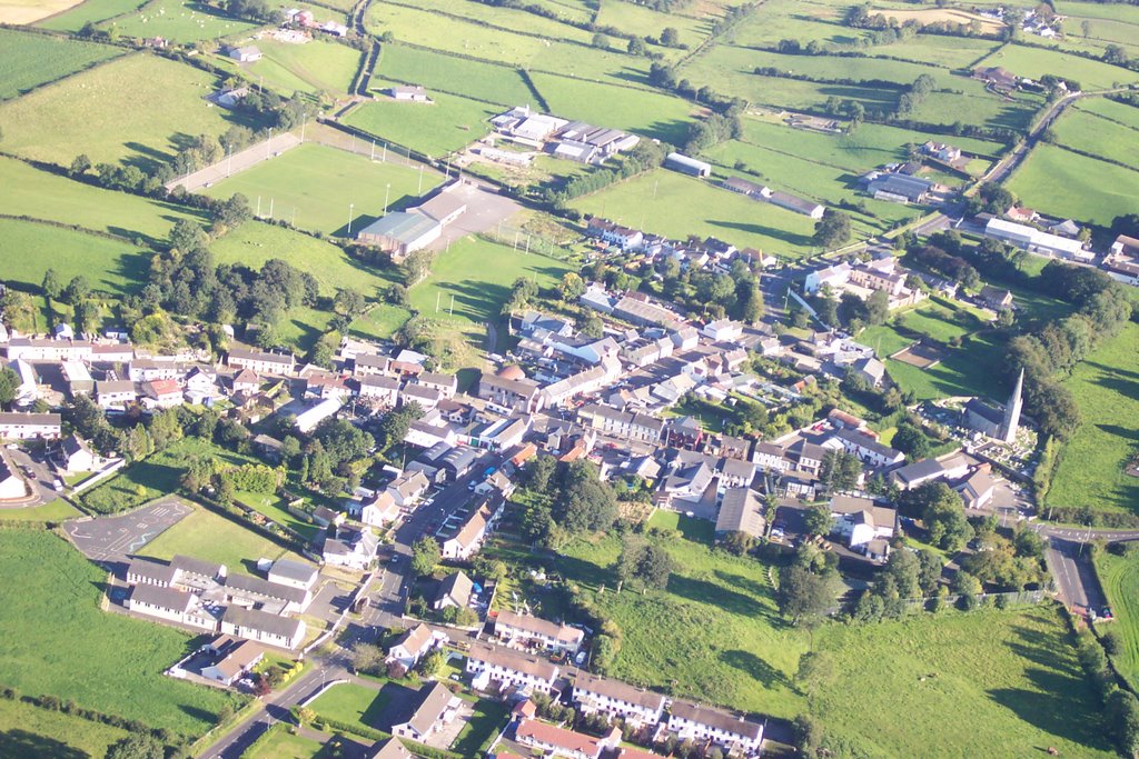
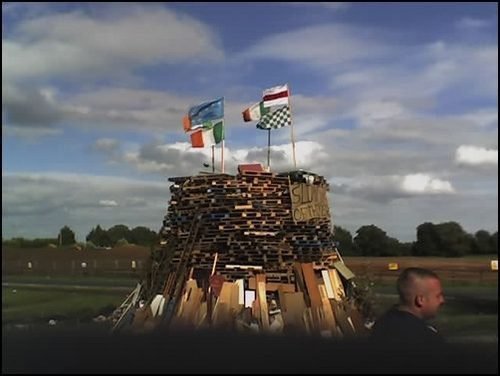
Photos of Castledawson
Castledawson Weather

Predicción: Scattered clouds
Temperatura: 11.1°
Humedad: 71%
Hora actual: 04:42 PM
Amanece: 06:18 AM
Anochece: 08:33 PM


