Distance between  Dooish and
  Doagh
Doagh
58.56 mi Straight Distance
70.78 mi Driving Distance
1 hour 17 mins Estimated Driving Time
The straight distance between Dooish (Northern Ireland) and Doagh (Northern Ireland) is 58.56 mi, but the driving distance is 70.78 mi.
It takes to go from Dooish to Doagh.
Driving directions from Dooish to Doagh
Distance in kilometers
Straight distance: 94.22 km. Route distance: 113.88 km
Dooish, United Kingdom
Latitude: 54.5923 // Longitude: -7.48609
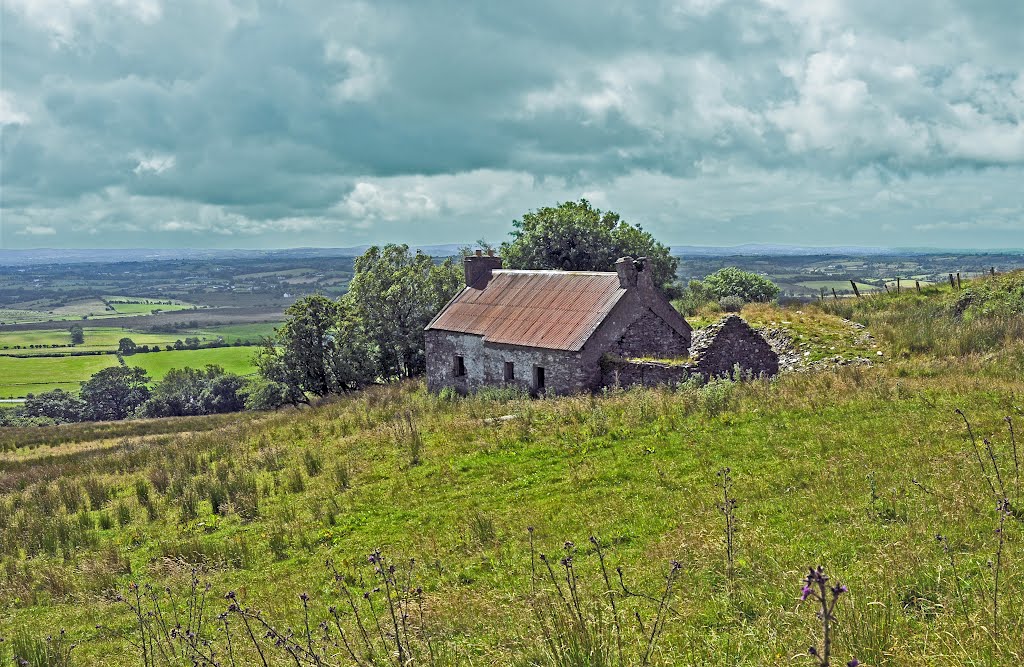
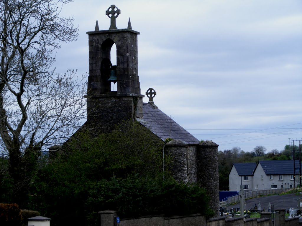
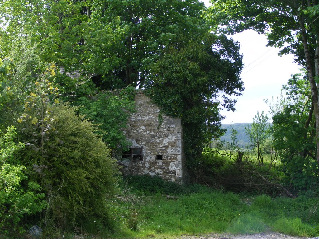
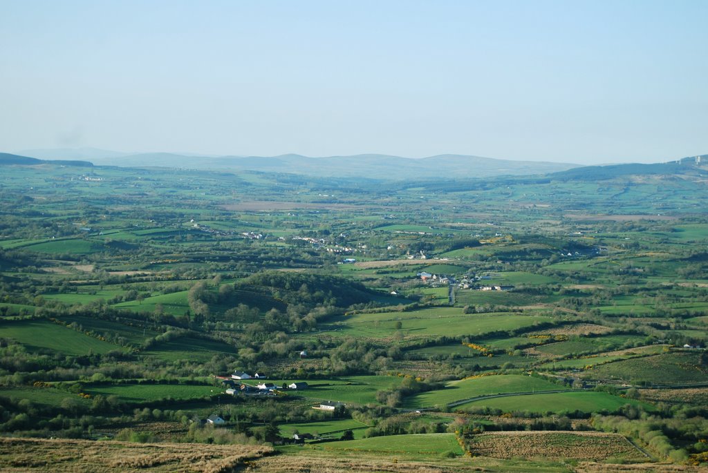
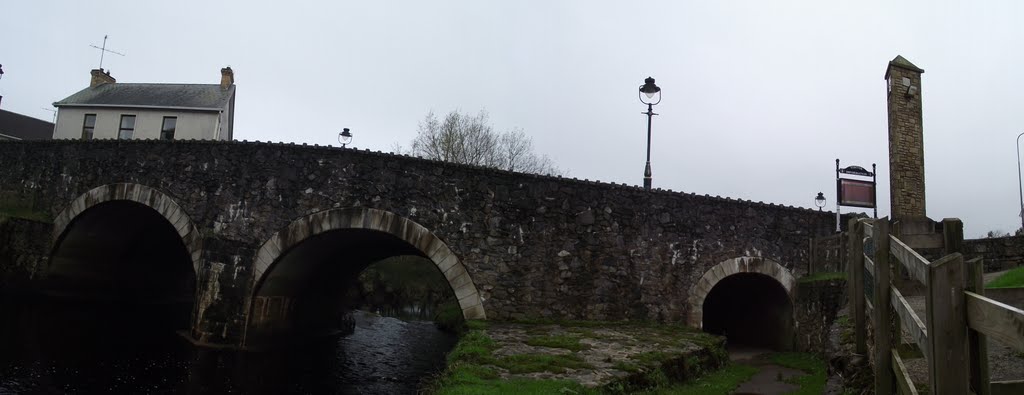
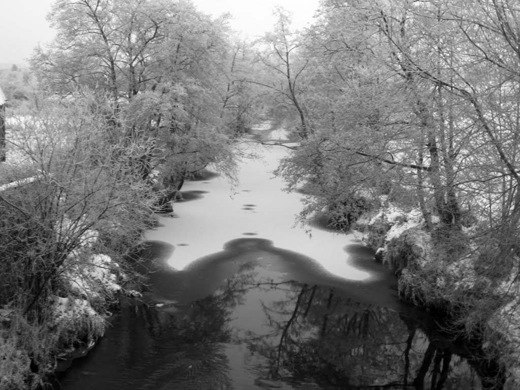
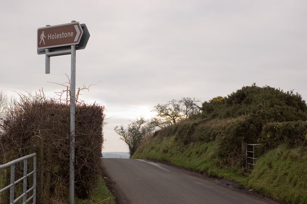
Photos of Dooish
Dooish Weather

Predicción: Overcast clouds
Temperatura: 9.2°
Humedad: 89%
Hora actual: 12:00 AM
Amanece: 05:17 AM
Anochece: 07:40 PM
Doagh, United Kingdom
Latitude: 54.7389 // Longitude: -6.04269
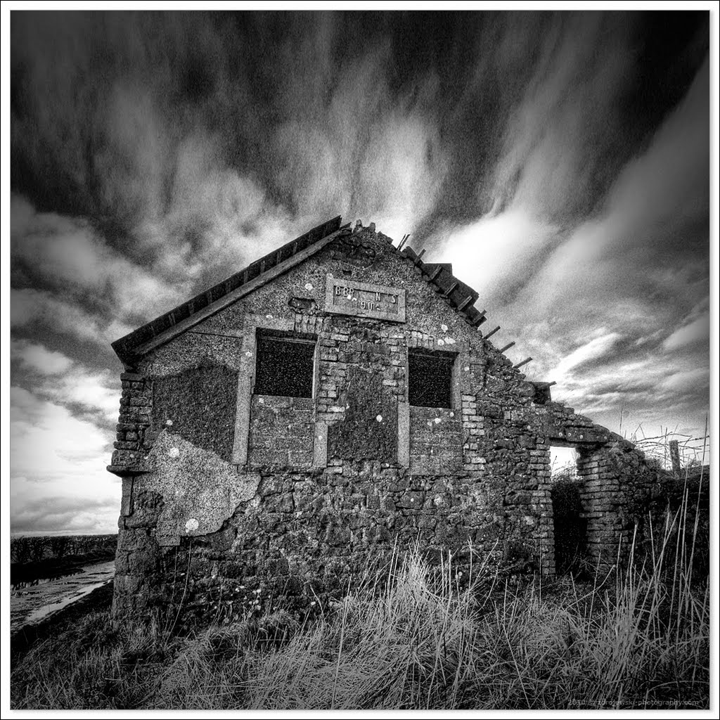
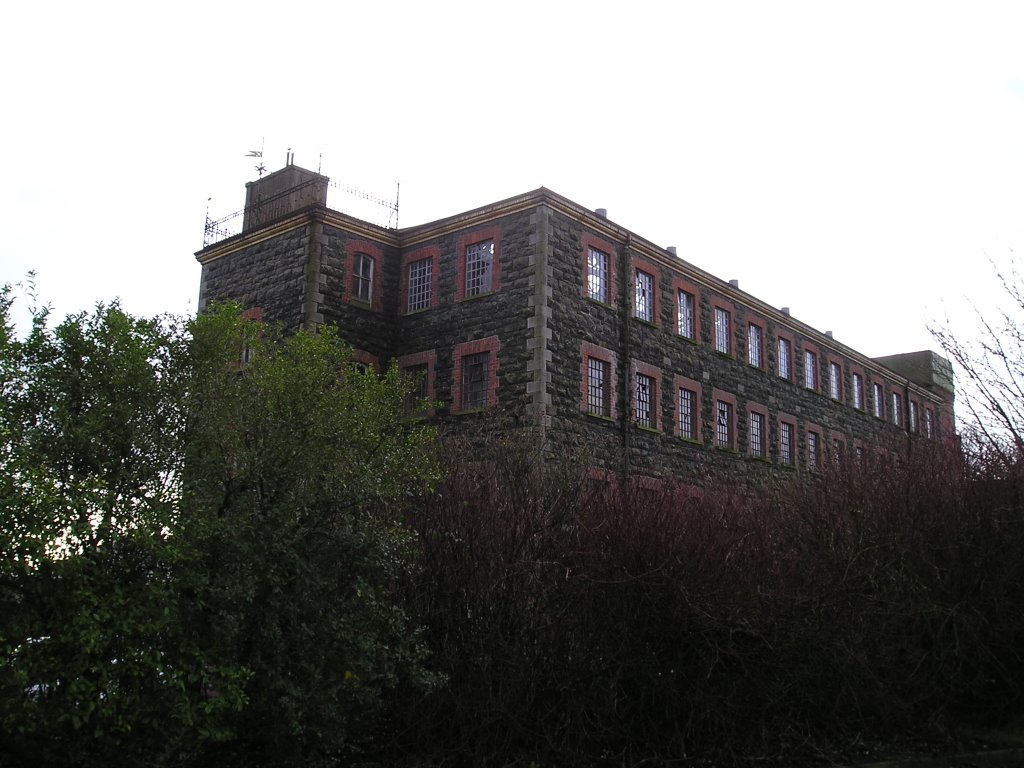
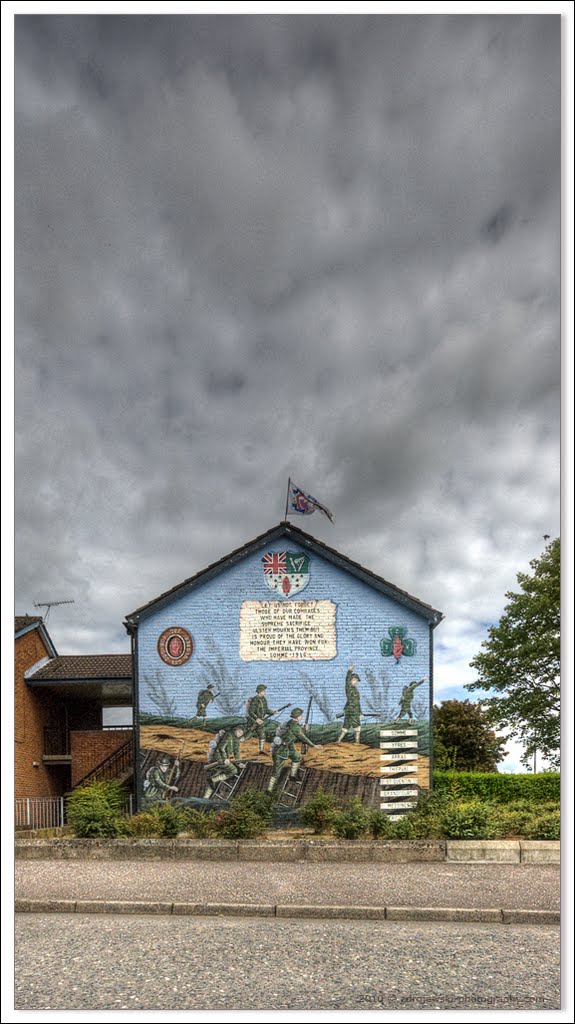
Photos of Doagh
Doagh Weather

Predicción: Drizzle
Temperatura: 9.0°
Humedad: 94%
Hora actual: 10:36 PM
Amanece: 06:11 AM
Anochece: 08:35 PM


