Distance between  Donaghadee and
  Desertmartin
46.11 mi Straight Distance
55.35 mi Driving Distance
1 hour 7 mins Estimated Driving Time
The straight distance between Donaghadee (Northern Ireland) and Desertmartin (Northern Ireland) is 46.11 mi, but the driving distance is 55.35 mi.
It takes 1 hour 16 mins to go from Donaghadee to Desertmartin.
Driving directions from Donaghadee to Desertmartin
Distance in kilometers
Straight distance: 74.19 km. Route distance: 89.06 km
Donaghadee, United Kingdom
Latitude: 54.6427 // Longitude: -5.53848
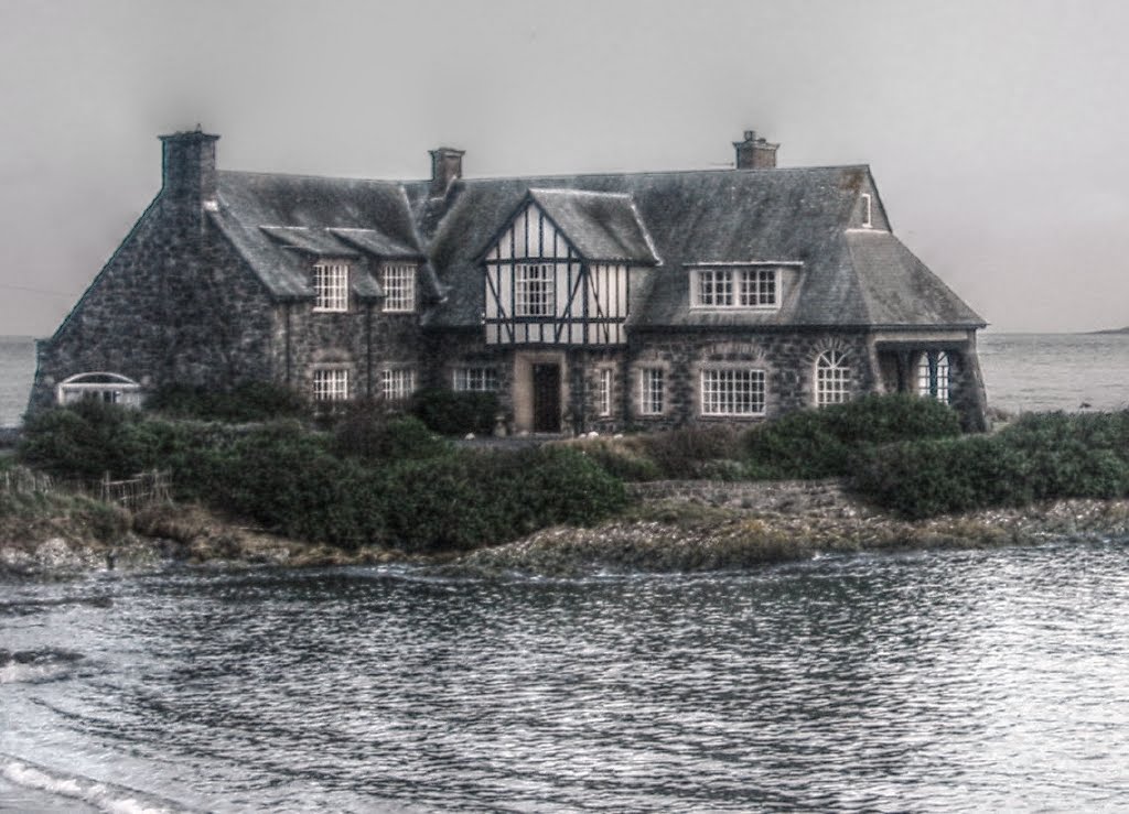
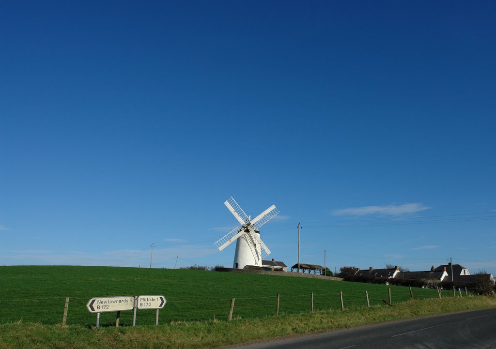
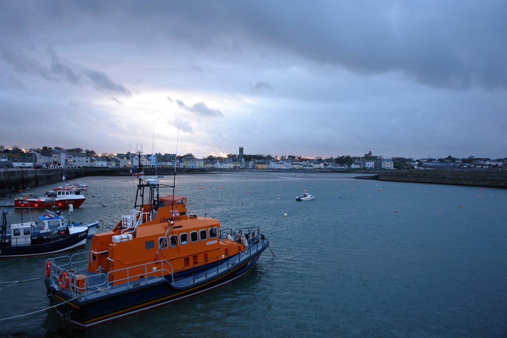
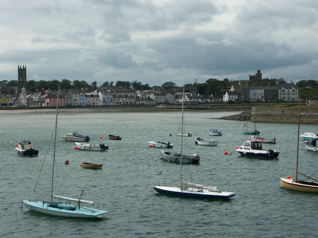
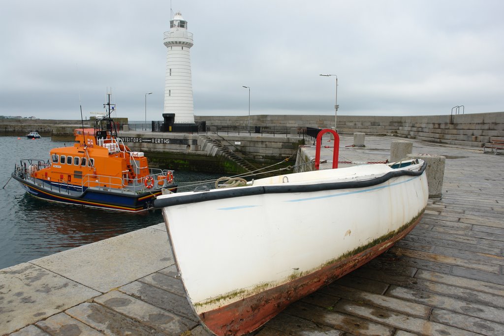
Photos of Donaghadee
Donaghadee Weather

Predicción: Overcast clouds
Temperatura: 9.7°
Humedad: 95%
Hora actual: 03:10 AM
Amanece: 06:07 AM
Anochece: 08:34 PM
Desertmartin, United Kingdom
Latitude: 54.7695 // Longitude: -6.67244
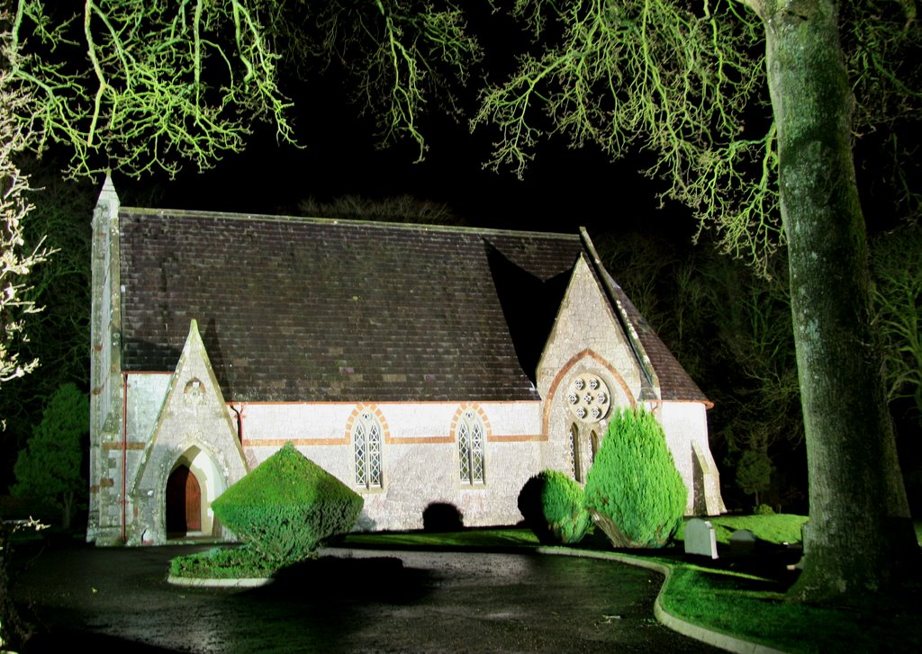
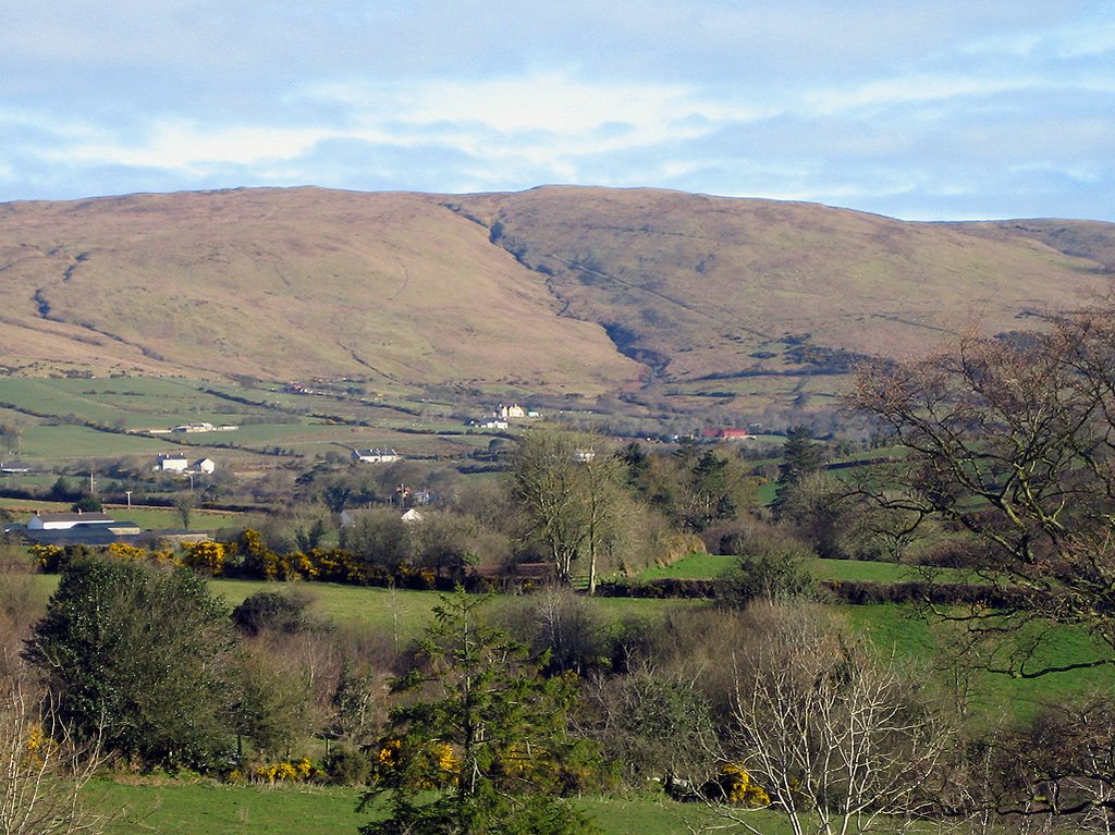
Photos of Desertmartin
Desertmartin Weather

Predicción: Overcast clouds
Temperatura: 9.1°
Humedad: 85%
Hora actual: 03:10 AM
Amanece: 06:11 AM
Anochece: 08:39 PM


