Distance between  Dollingstown and
  Castlederg
54.75 mi Straight Distance
64.54 mi Driving Distance
1 hour 10 mins Estimated Driving Time
The straight distance between Dollingstown (Northern Ireland) and Castlederg (Northern Ireland) is 54.75 mi, but the driving distance is 64.54 mi.
It takes 1 hour 29 mins to go from Dollingstown to Castlederg.
Driving directions from Dollingstown to Castlederg
Distance in kilometers
Straight distance: 88.10 km. Route distance: 103.84 km
Dollingstown, United Kingdom
Latitude: 54.4623 // Longitude: -6.29282
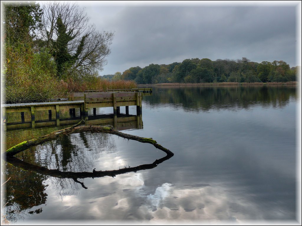
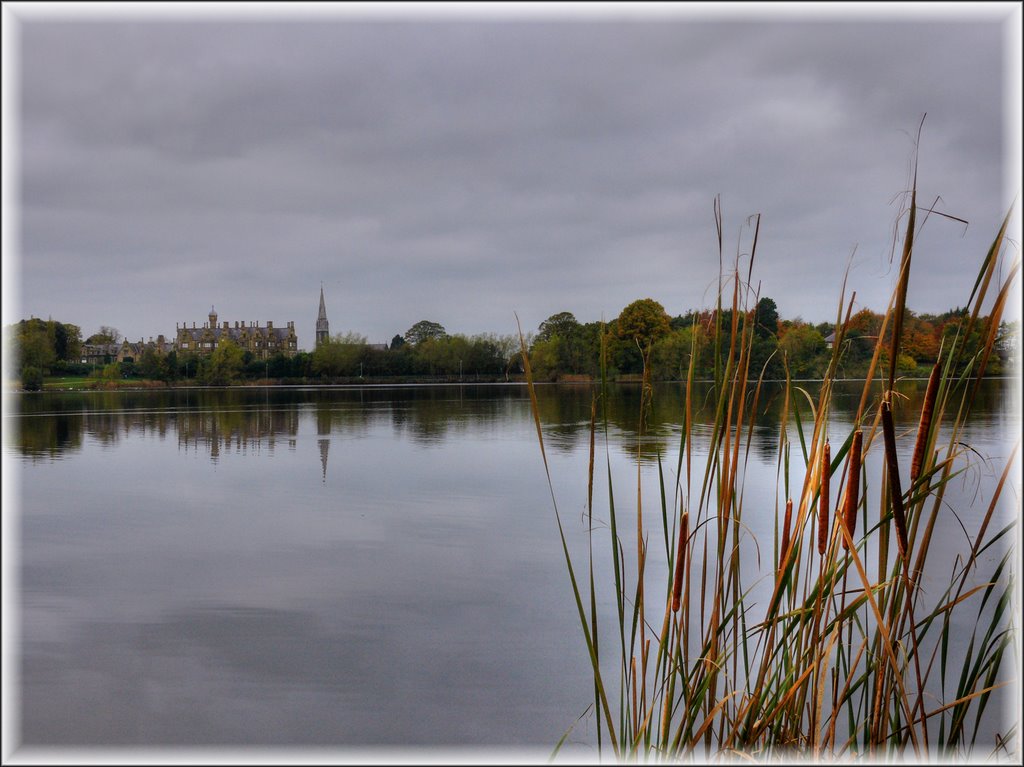
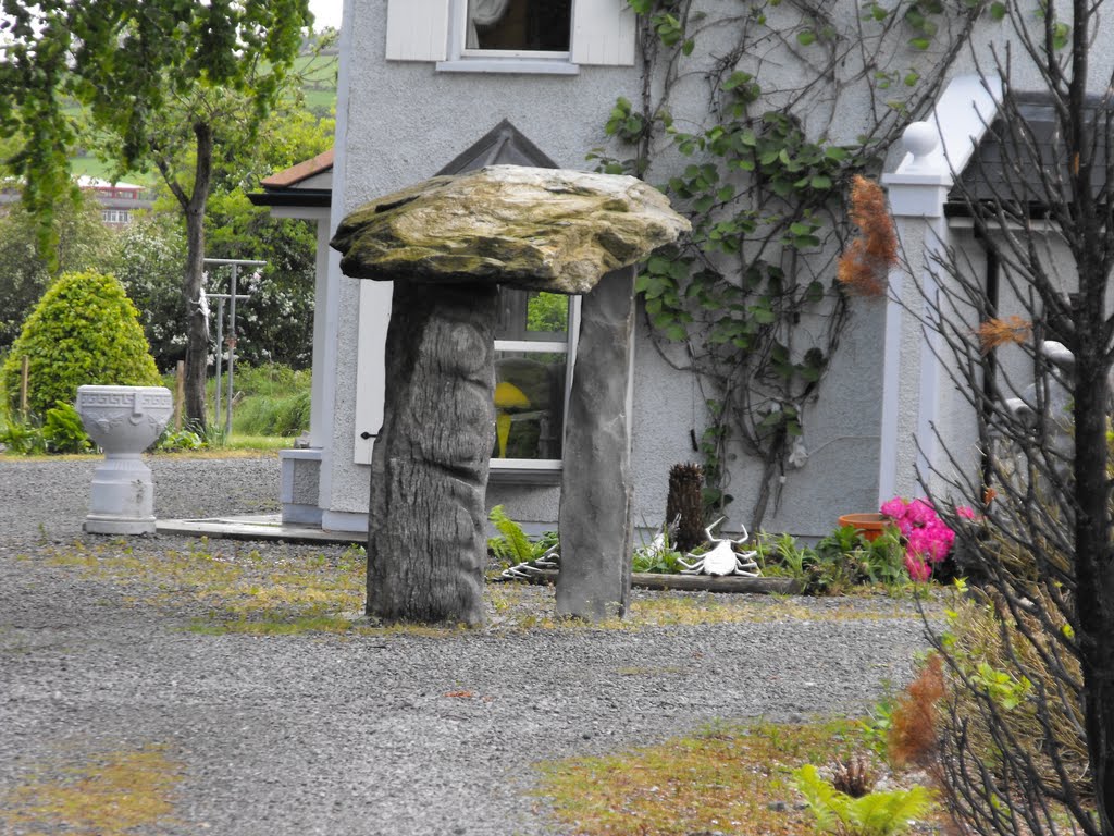
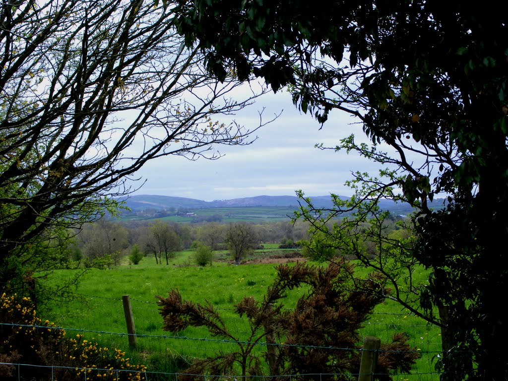
Photos of Dollingstown
Dollingstown Weather

Predicción: Broken clouds
Temperatura: 6.9°
Humedad: 88%
Hora actual: 08:56 PM
Amanece: 06:18 AM
Anochece: 08:31 PM
Castlederg, United Kingdom
Latitude: 54.7081 // Longitude: -7.59285
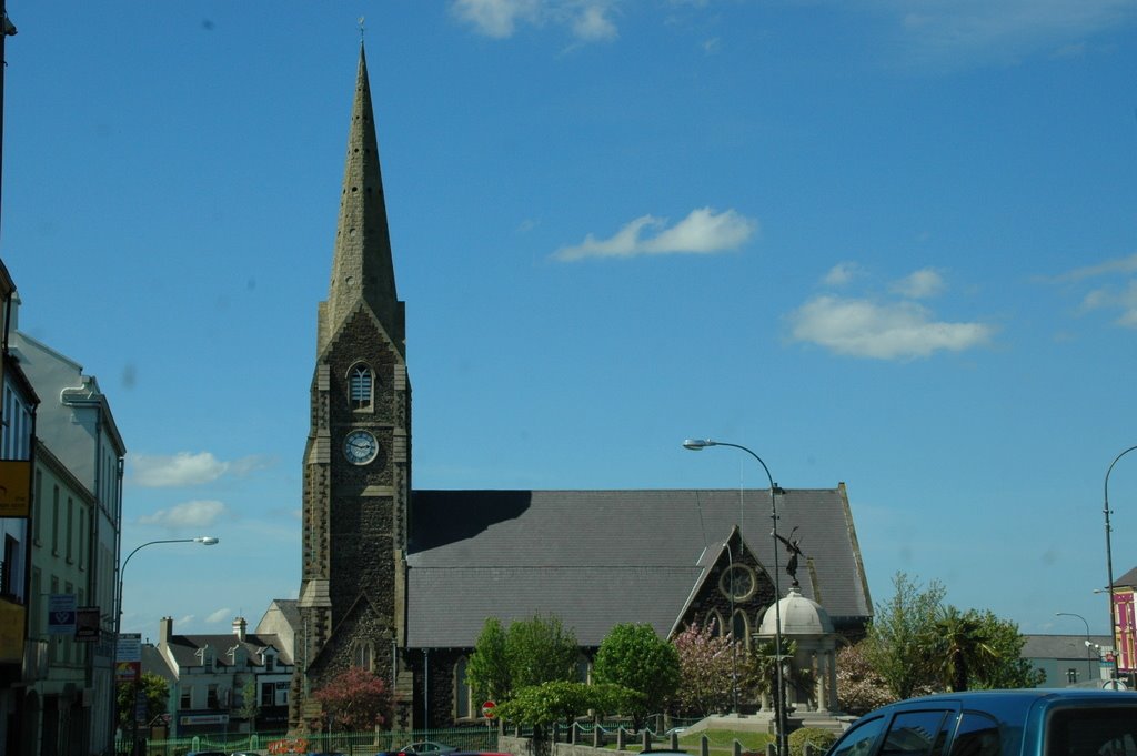
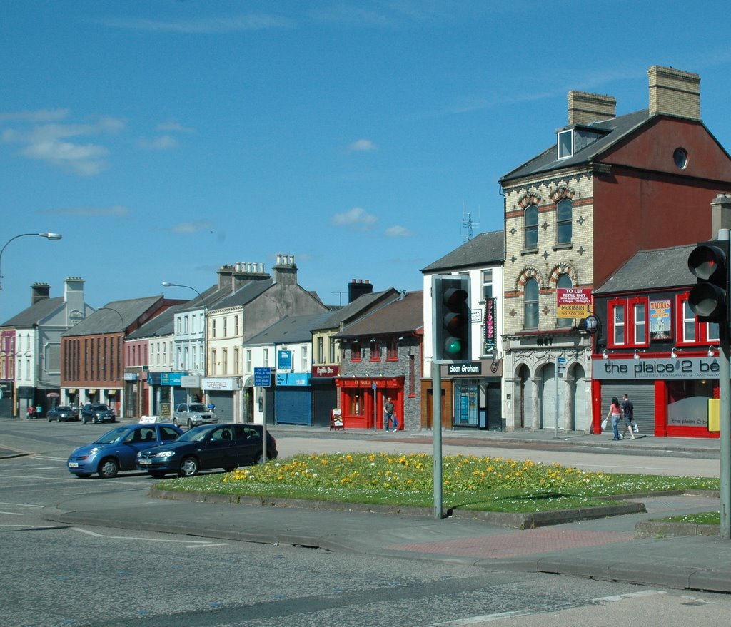
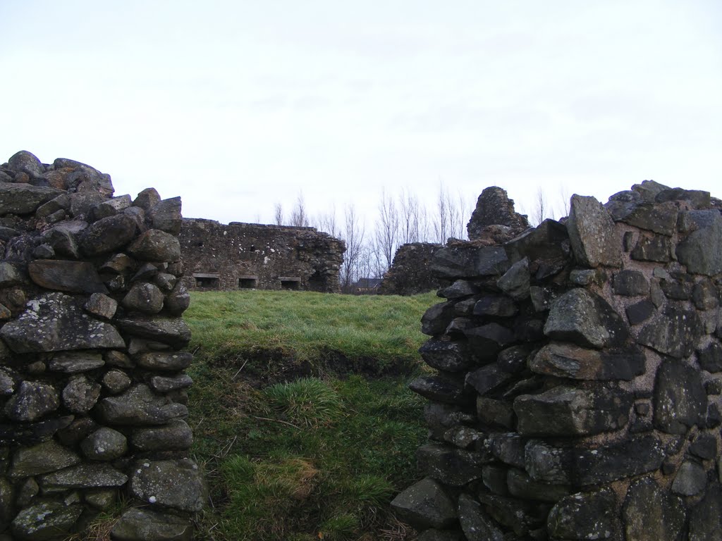
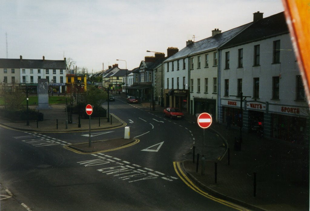
Photos of Castlederg
Castlederg Weather

Predicción: Broken clouds
Temperatura: 6.7°
Humedad: 77%
Hora actual: 08:56 PM
Amanece: 06:22 AM
Anochece: 08:37 PM


