Distance between  Desborough and
  Cramlington
185.33 mi Straight Distance
221.28 mi Driving Distance
3 hours 24 mins Estimated Driving Time
The straight distance between Desborough (England) and Cramlington (England) is 185.33 mi, but the driving distance is 221.28 mi.
It takes to go from Desborough to Cramlington.
Driving directions from Desborough to Cramlington
Distance in kilometers
Straight distance: 298.19 km. Route distance: 356.03 km
Desborough, United Kingdom
Latitude: 52.4415 // Longitude: -0.822557
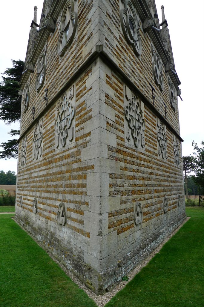
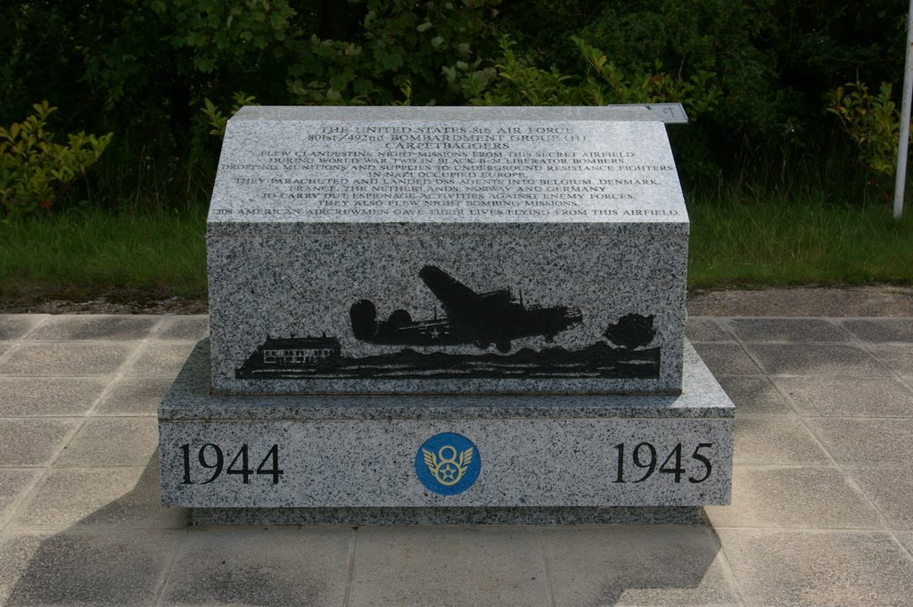
Photos of Desborough
Desborough Weather

Predicción: Overcast clouds
Temperatura: 9.2°
Humedad: 86%
Hora actual: 09:17 AM
Amanece: 06:00 AM
Anochece: 08:04 PM
Cramlington, United Kingdom
Latitude: 55.0861 // Longitude: -1.5808
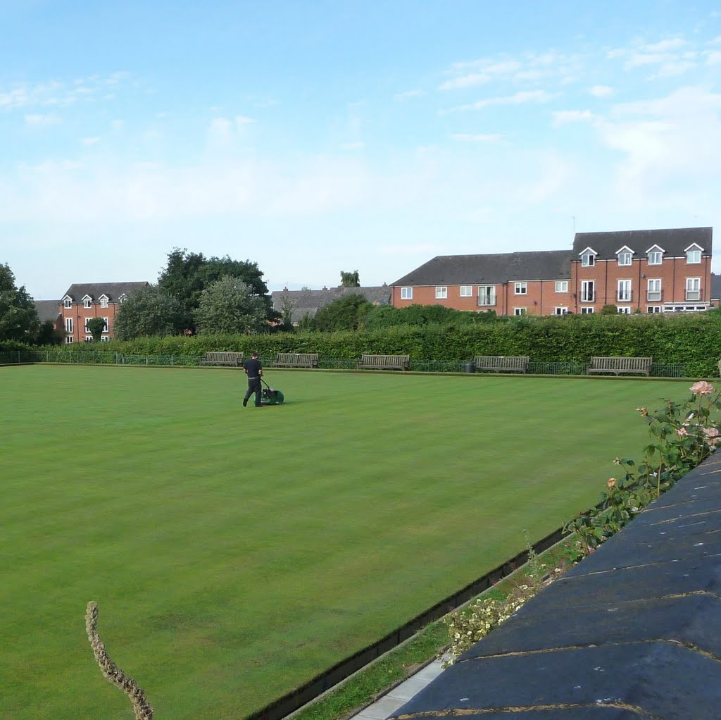
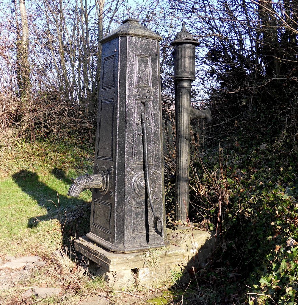
Photos of Cramlington
Cramlington Weather

Predicción: Broken clouds
Temperatura: 8.1°
Humedad: 69%
Hora actual: 09:17 AM
Amanece: 05:57 AM
Anochece: 08:14 PM


