Distance between  Derryhale and
  Ballystrudder
41.03 mi Straight Distance
51.34 mi Driving Distance
58 minutes Estimated Driving Time
The straight distance between Derryhale (Northern Ireland) and Ballystrudder (Northern Ireland) is 41.03 mi, but the driving distance is 51.34 mi.
It takes 1 hour 7 mins to go from Derryhale to Ballystrudder.
Driving directions from Derryhale to Ballystrudder
Distance in kilometers
Straight distance: 66.02 km. Route distance: 82.61 km
Derryhale, United Kingdom
Latitude: 54.3871 // Longitude: -6.4806
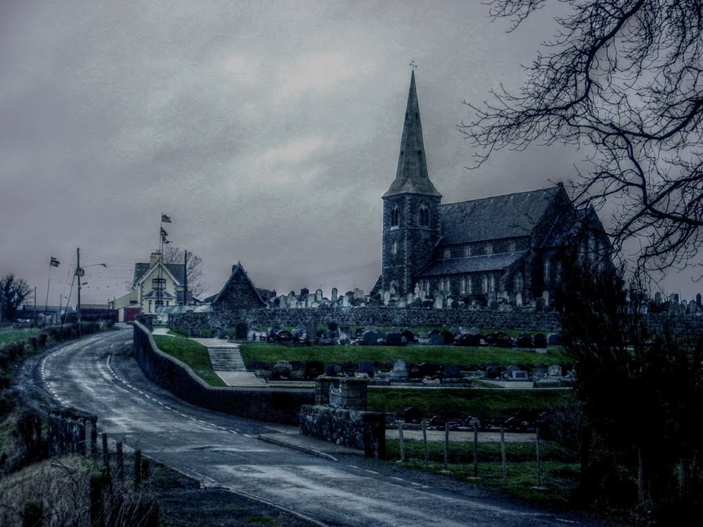
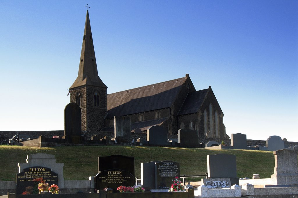
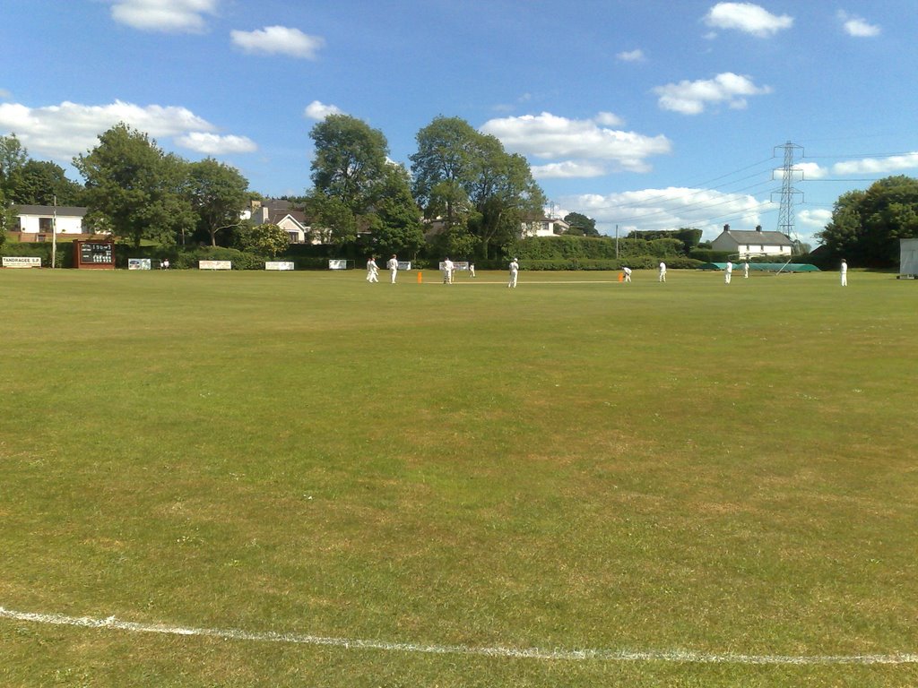
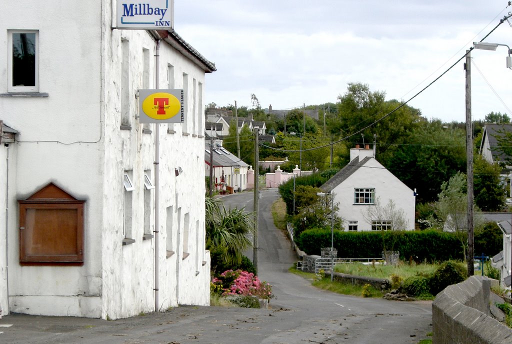
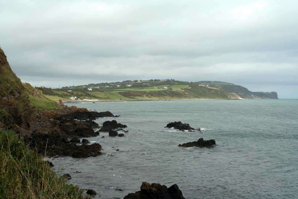
Photos of Derryhale
Derryhale Weather

Predicción: Broken clouds
Temperatura: 7.3°
Humedad: 86%
Hora actual: 08:10 AM
Amanece: 06:18 AM
Anochece: 08:32 PM
Ballystrudder, United Kingdom
Latitude: 54.7789 // Longitude: -5.71056
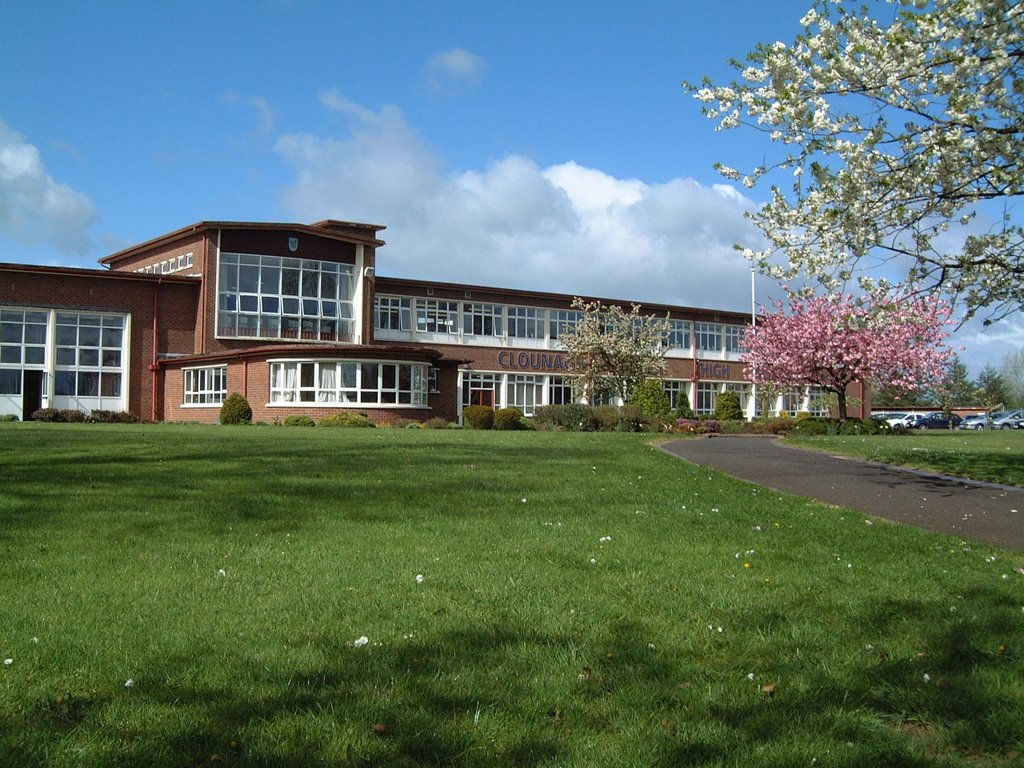
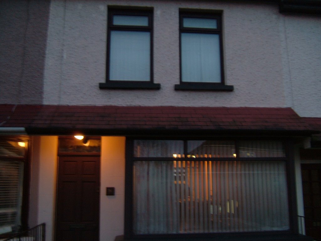
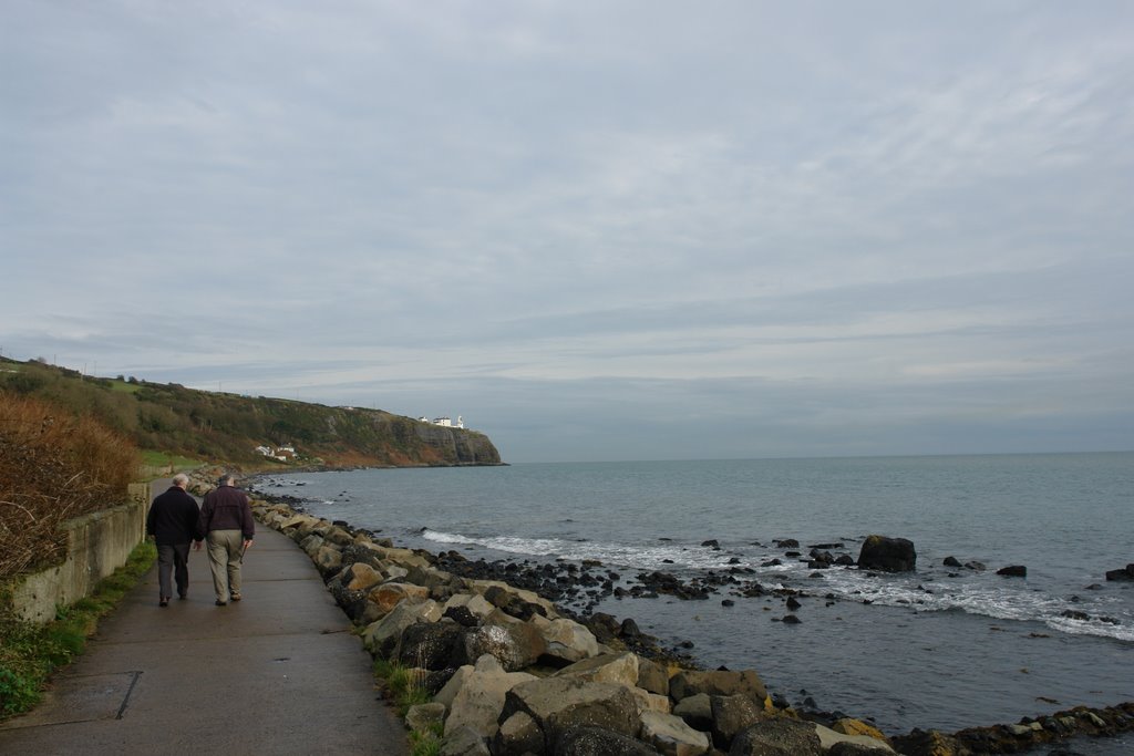
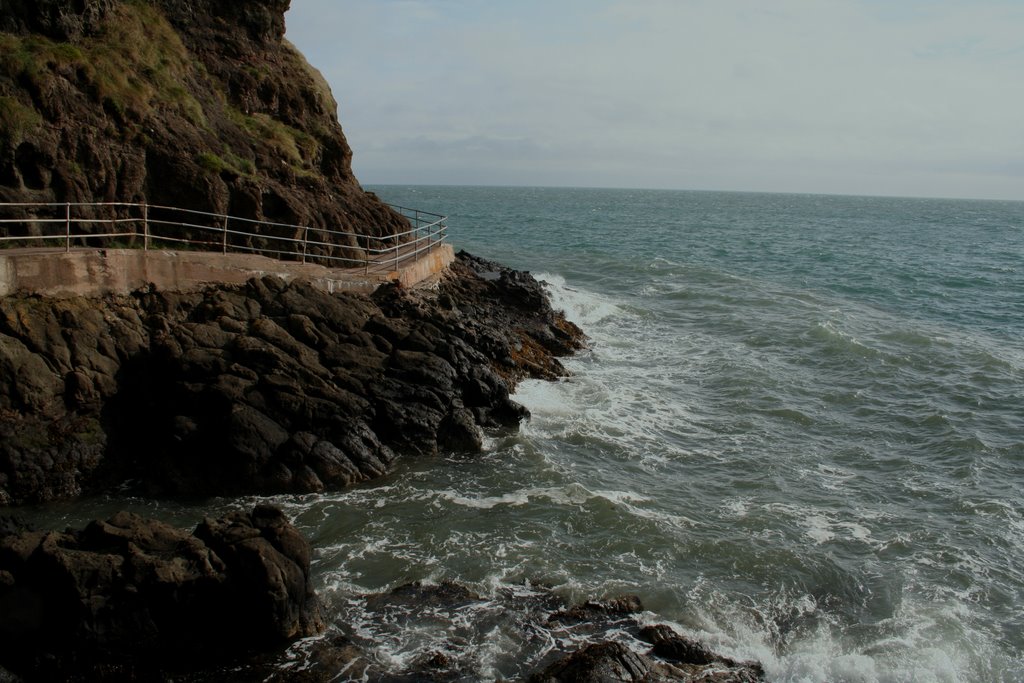
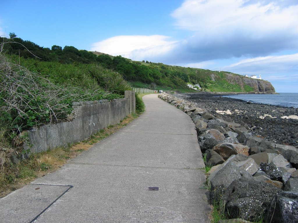
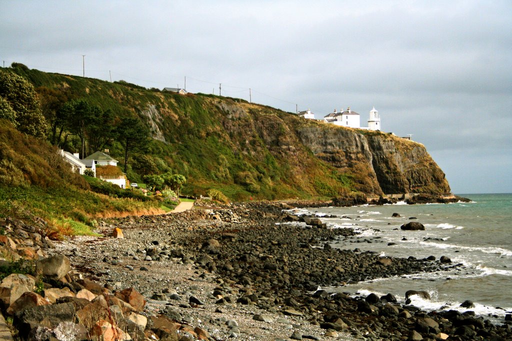
Photos of Ballystrudder
Ballystrudder Weather

Predicción: Clear sky
Temperatura: 7.5°
Humedad: 85%
Hora actual: 08:10 AM
Amanece: 06:14 AM
Anochece: 08:29 PM


