Distance between  Crowborough and
  Buxton
175.61 mi Straight Distance
217.04 mi Driving Distance
3 hours 34 mins Estimated Driving Time
The straight distance between Crowborough (England) and Buxton (England) is 175.61 mi, but the driving distance is 217.04 mi.
It takes 4 hours 9 mins to go from Crowborough to Buxton.
Driving directions from Crowborough to Buxton
Distance in kilometers
Straight distance: 282.56 km. Route distance: 349.21 km
Crowborough, United Kingdom
Latitude: 51.0609 // Longitude: 0.165894
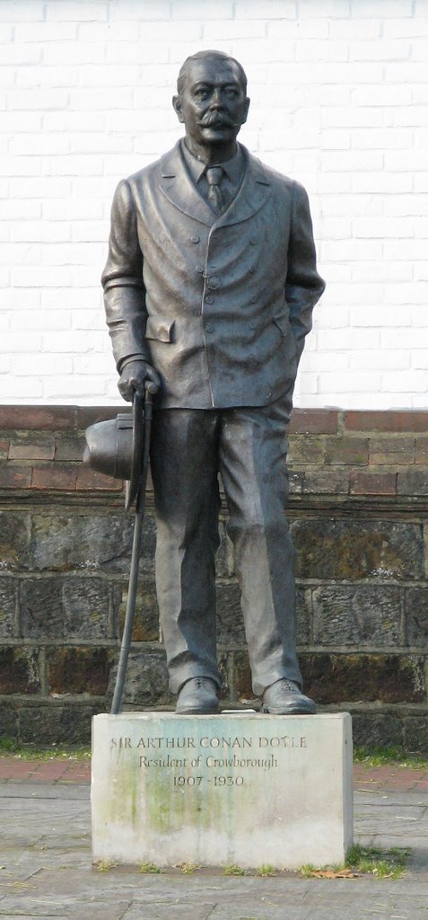
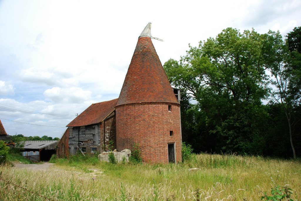
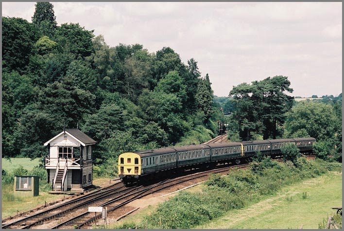
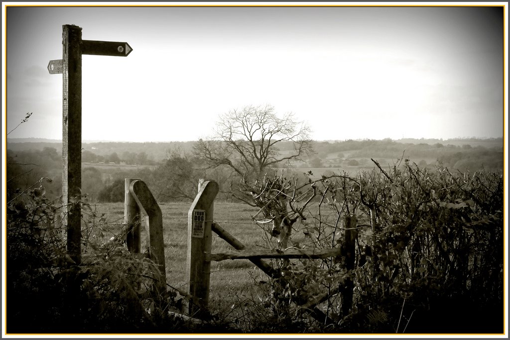
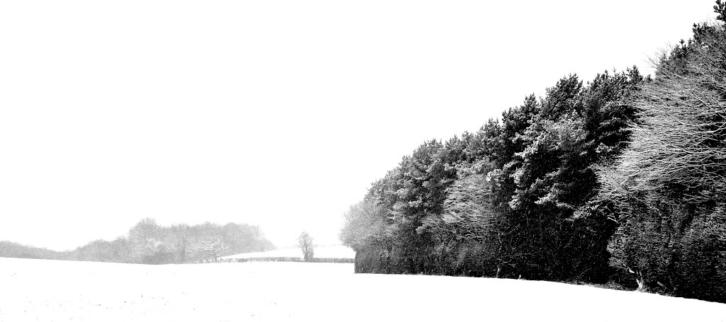
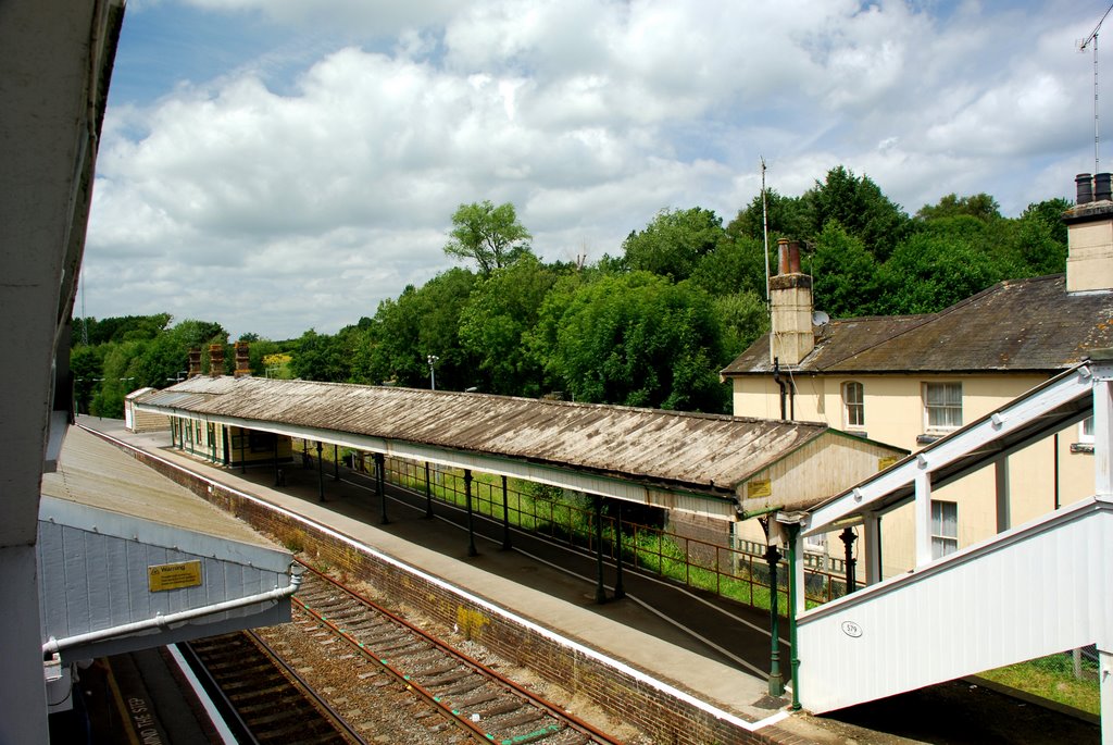
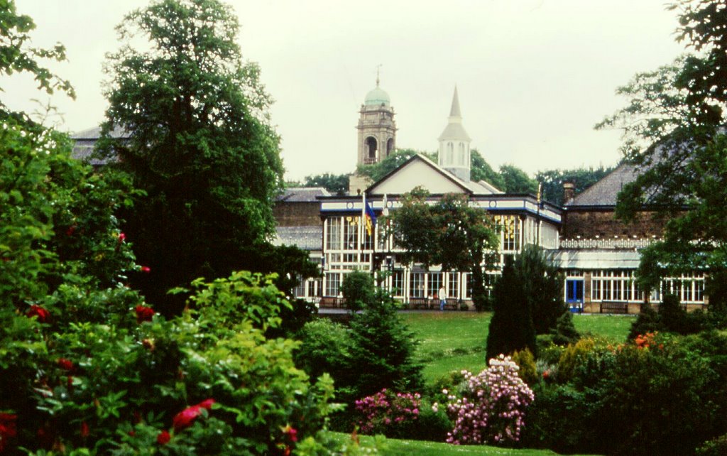
Photos of Crowborough
Crowborough Weather

Predicción: Broken clouds
Temperatura: 12.5°
Humedad: 53%
Hora actual: 03:16 PM
Amanece: 05:55 AM
Anochece: 08:01 PM
Buxton, United Kingdom
Latitude: 53.2591 // Longitude: -1.91483
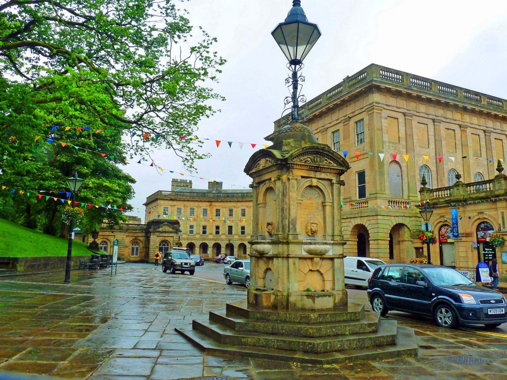
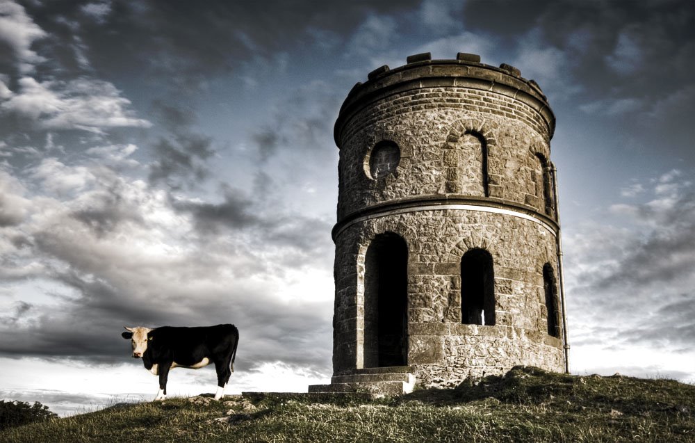
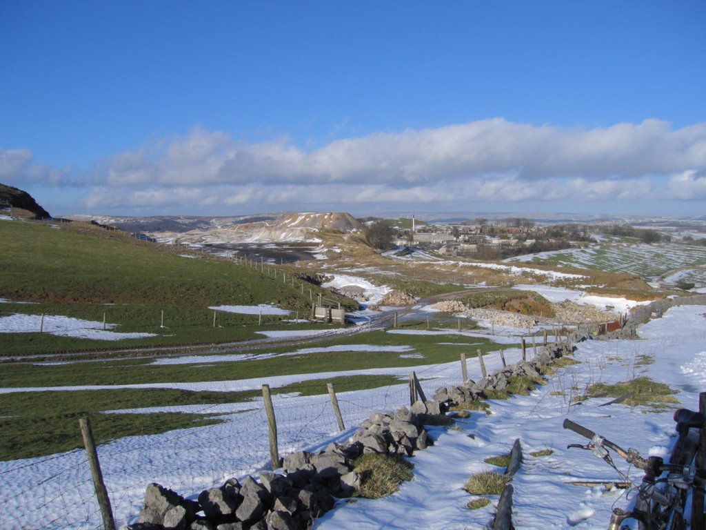
Photos of Buxton
Buxton Weather

Predicción: Light rain
Temperatura: 8.5°
Humedad: 71%
Hora actual: 03:16 PM
Amanece: 05:58 AM
Anochece: 08:14 PM


