Distance between  Crossmaglen and
  Armagh
18.82 mi Straight Distance
22.30 mi Driving Distance
25 minutes Estimated Driving Time
The straight distance between Crossmaglen (Northern Ireland) and Armagh (Northern Ireland) is 18.82 mi, but the driving distance is 22.30 mi.
It takes 42 mins to go from Crossmaglen to Armagh.
Driving directions from Crossmaglen to Armagh
Distance in kilometers
Straight distance: 30.28 km. Route distance: 35.88 km
Crossmaglen, United Kingdom
Latitude: 54.0776 // Longitude: -6.60827
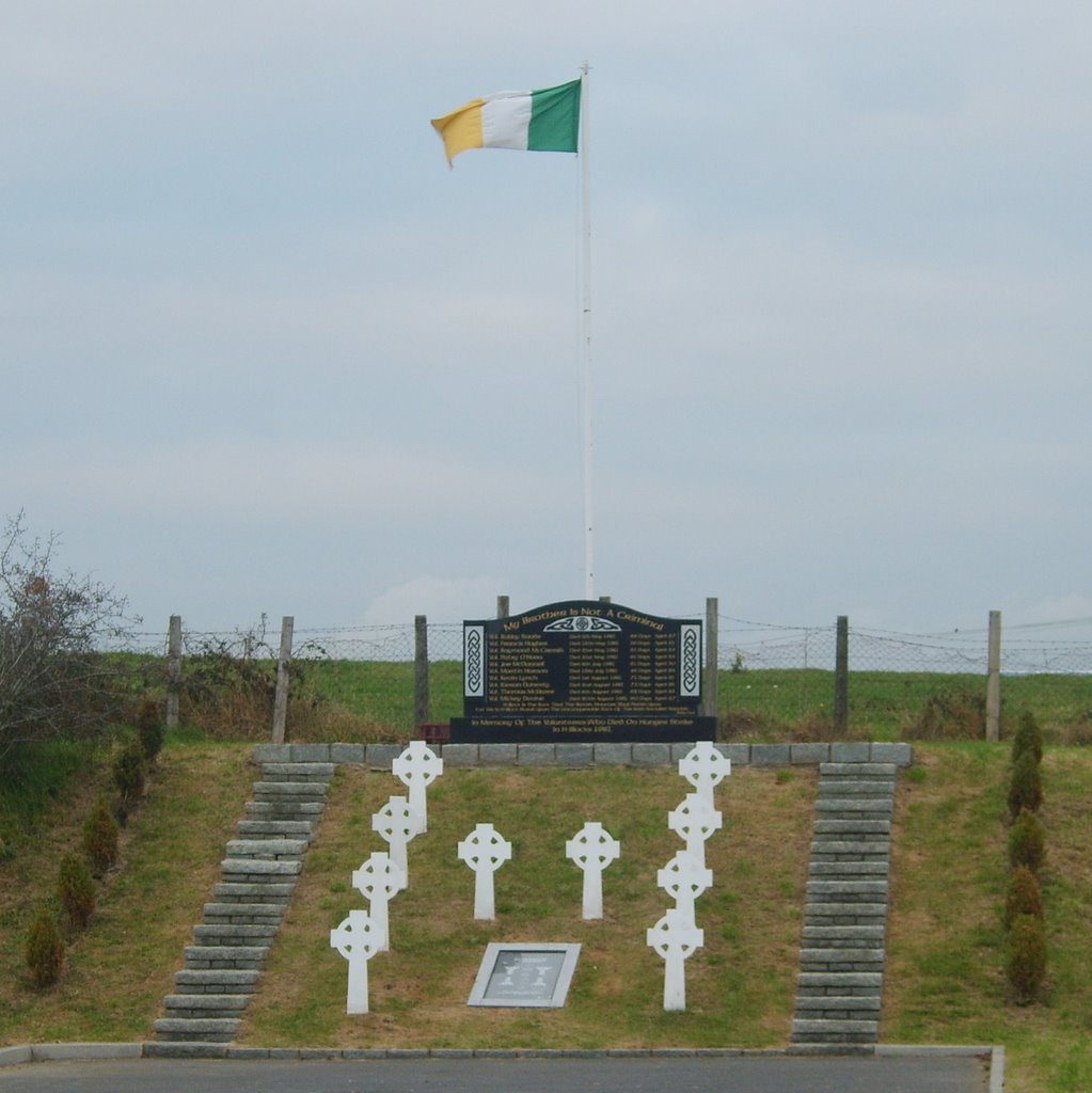
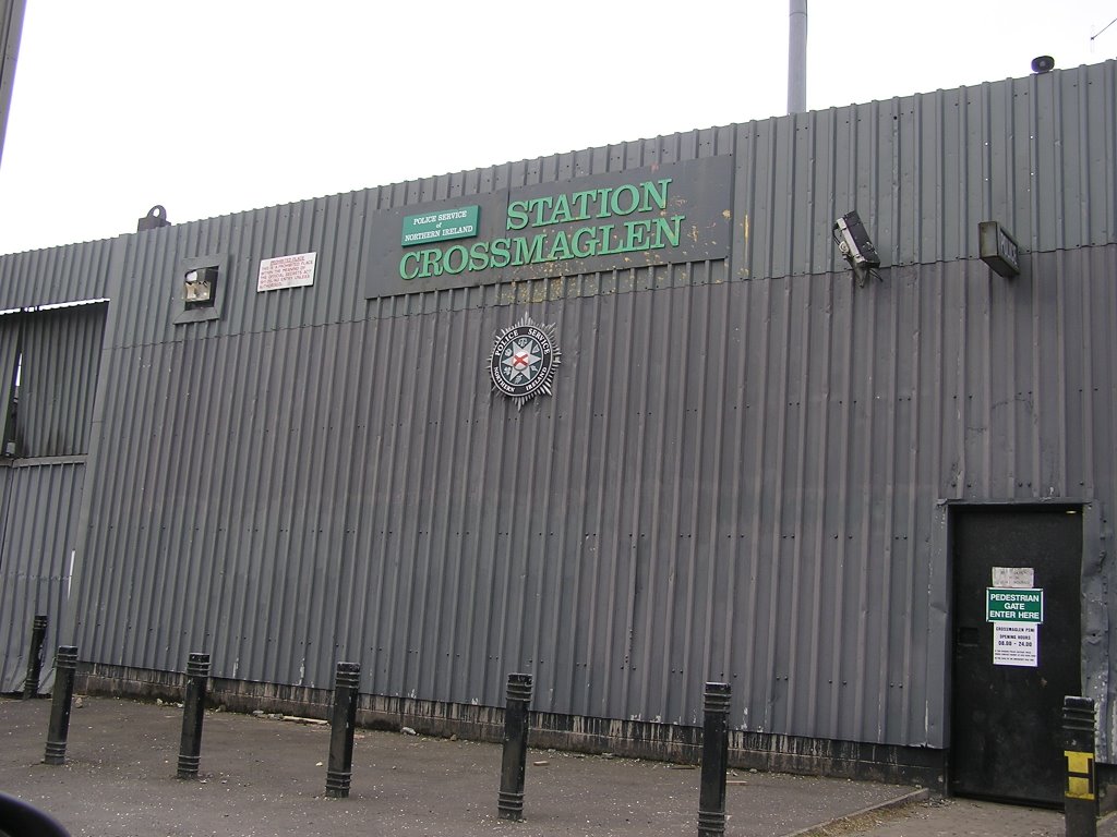
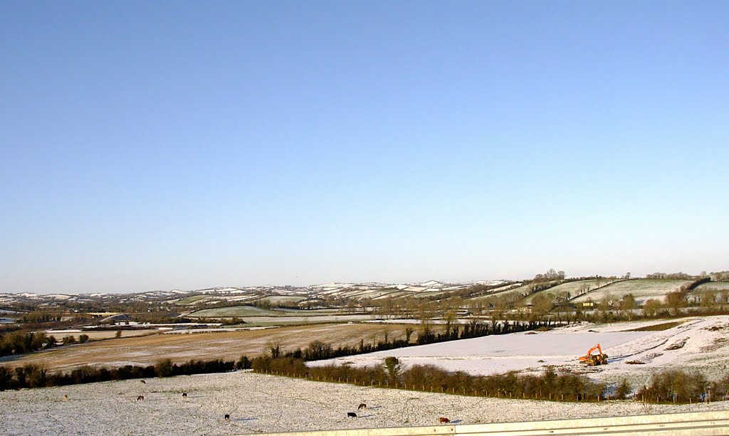
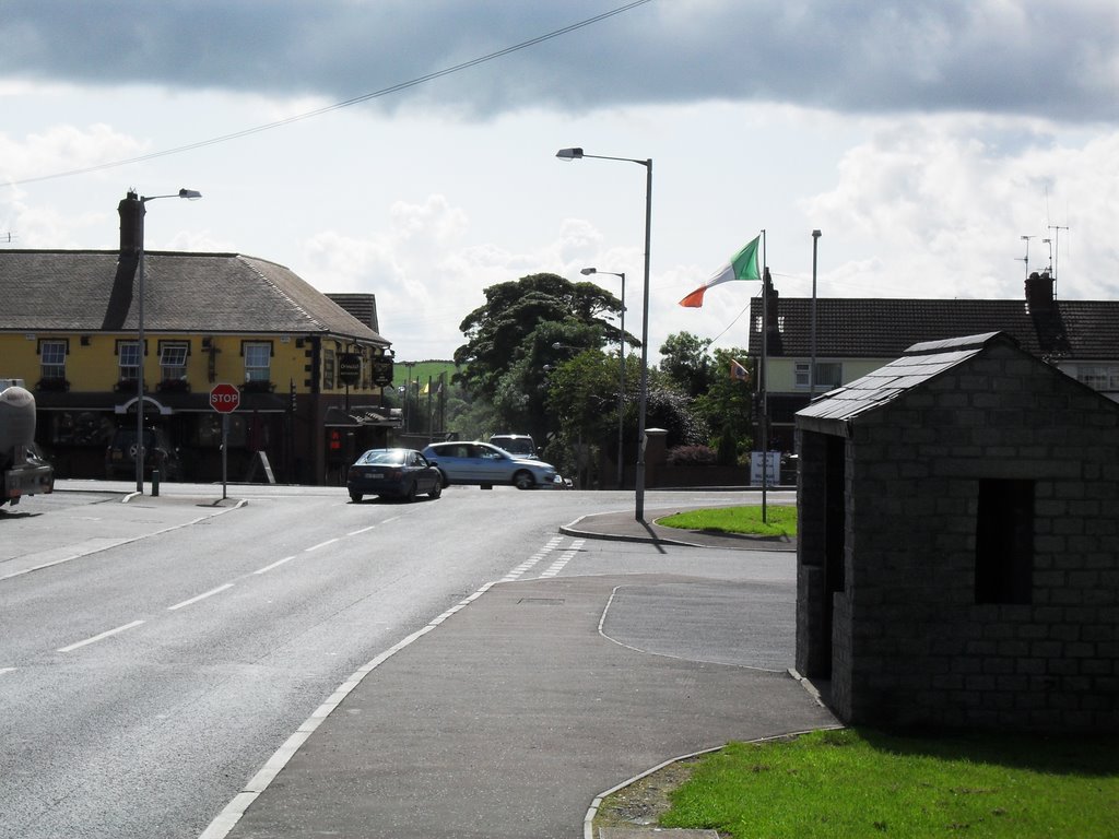
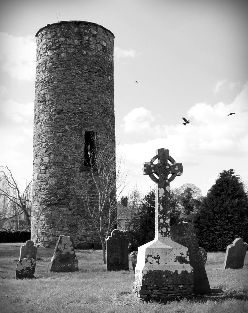
Photos of Crossmaglen
Crossmaglen Weather

Predicción: Scattered clouds
Temperatura: 4.8°
Humedad: 85%
Hora actual: 12:27 AM
Amanece: 06:17 AM
Anochece: 08:33 PM
Armagh, United Kingdom
Latitude: 54.3488 // Longitude: -6.65161
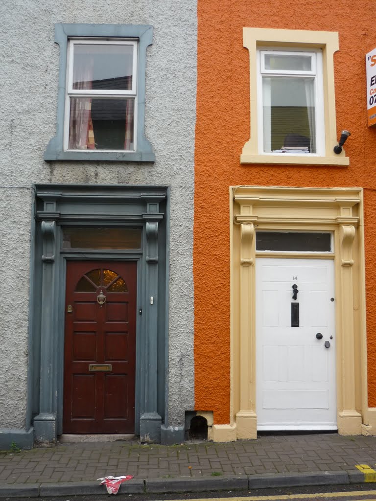
Photos of Armagh
Armagh Weather

Predicción: Scattered clouds
Temperatura: 5.4°
Humedad: 83%
Hora actual: 12:27 AM
Amanece: 06:17 AM
Anochece: 08:34 PM


