Distance between  Creagh and
  Cappagh
22.41 mi Straight Distance
26.92 mi Driving Distance
30 minutes Estimated Driving Time
The straight distance between Creagh (Northern Ireland) and Cappagh (Northern Ireland) is 22.41 mi, but the driving distance is 26.92 mi.
It takes to go from Creagh to Cappagh.
Driving directions from Creagh to Cappagh
Distance in kilometers
Straight distance: 36.05 km. Route distance: 43.31 km
Creagh, United Kingdom
Latitude: 54.3742 // Longitude: -7.40323
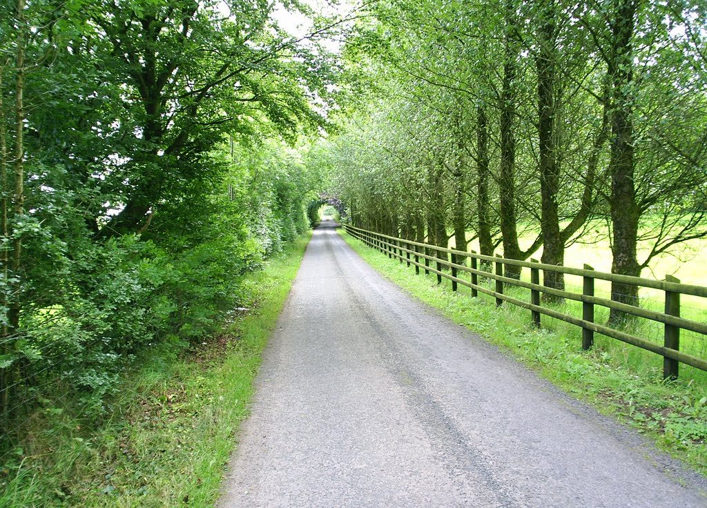
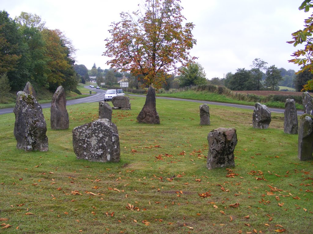
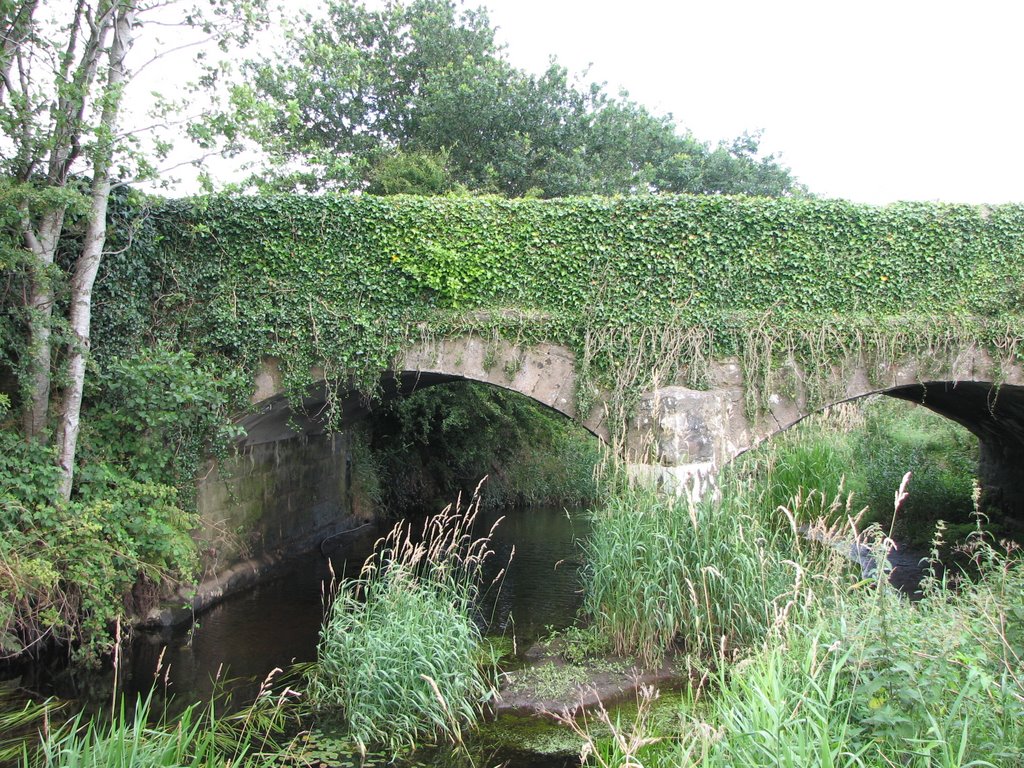
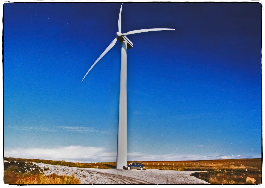
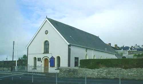
Photos of Creagh
Creagh Weather

Predicción: Scattered clouds
Temperatura: 4.1°
Humedad: 85%
Hora actual: 12:00 AM
Amanece: 05:22 AM
Anochece: 07:35 PM
Cappagh, United Kingdom
Latitude: 54.5439 // Longitude: -6.92778
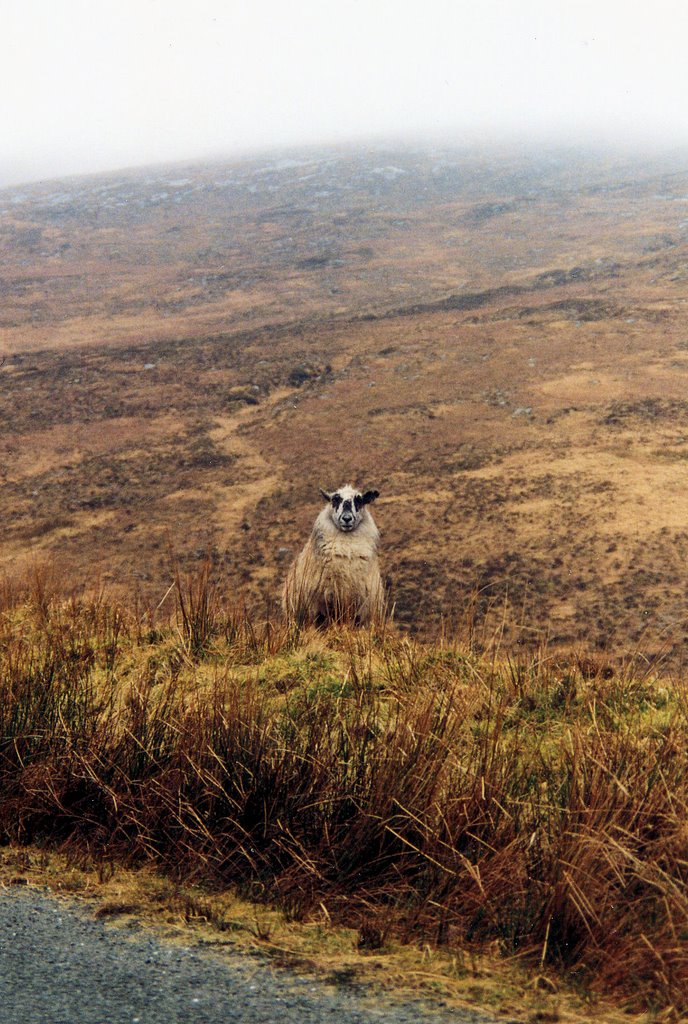
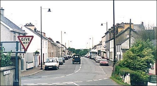
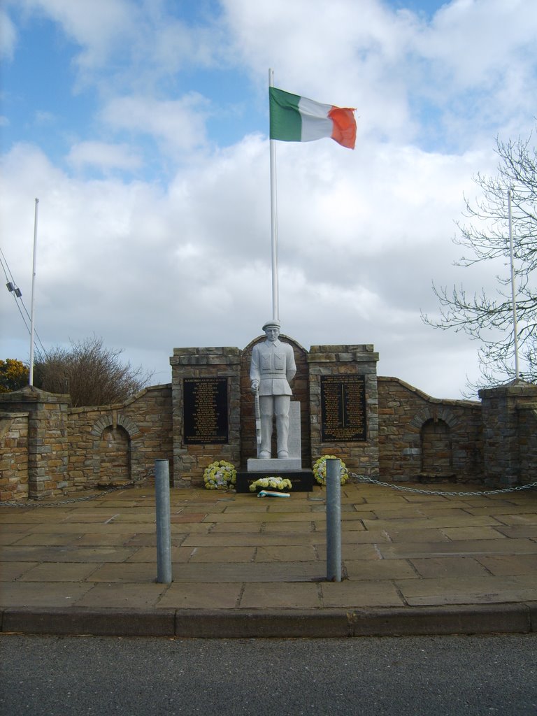
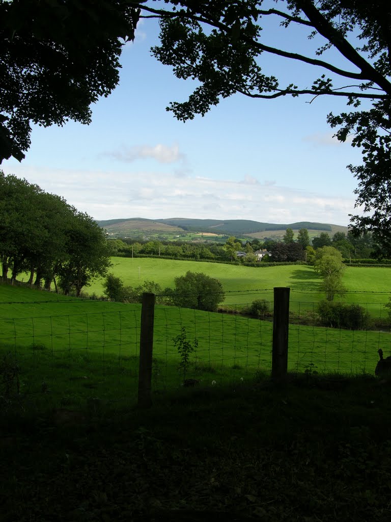
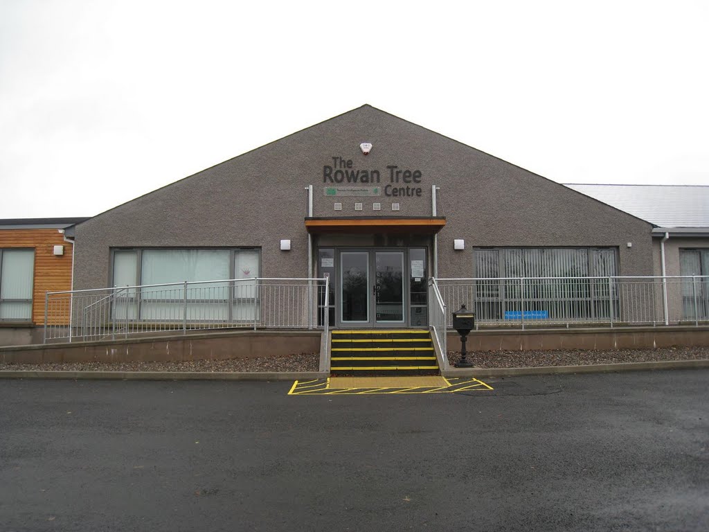
Photos of Cappagh
Cappagh Weather

Predicción: Scattered clouds
Temperatura: 6.4°
Humedad: 78%
Hora actual: 12:00 AM
Amanece: 05:20 AM
Anochece: 07:34 PM


